Where to go
Where are you arriving? Everything below sorts by the distance by road from there.
Arriving in Labrador? Blanc-Sablon, Goose Bay or Wabush →
Each place shows its shortest drive and where that starts. Pick where you arrive to see yours.
Under 25 km
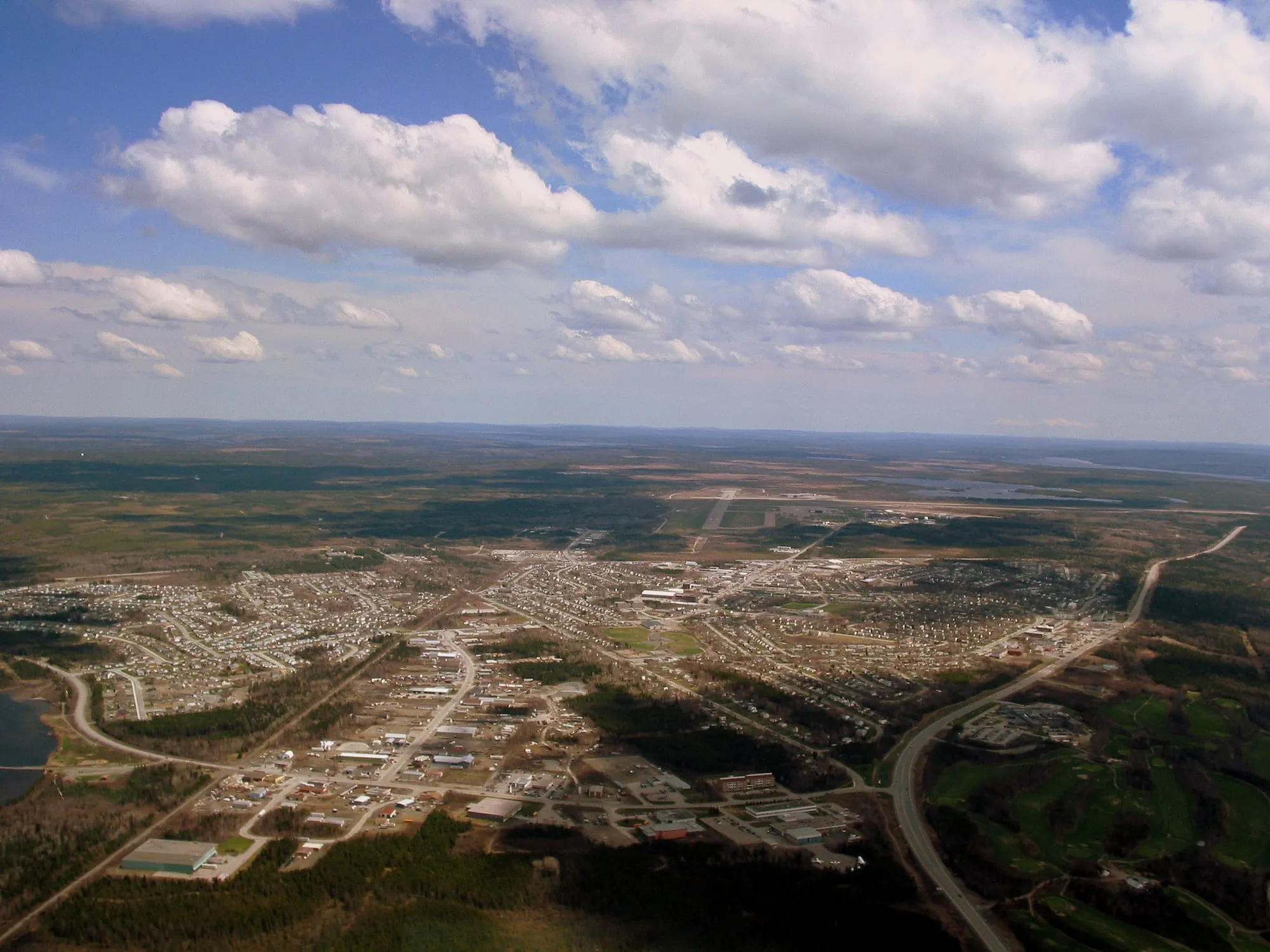 Gander3.7 km from Gander (YQX)3.7 km from Gander (YQX)305 km from Deer Lake (YDF) · 3.7 km from Gander (YQX)337 km from St. John's (YYT) · 3.7 km from Gander (YQX)571 km from Port aux Basques (ferry), after 7h at sea · 3.7 km from Gander (YQX)292 km from Argentia (ferry), after 16.5h at sea (seasonal) · 3.7 km from Gander (YQX)
 Cobb's Pond LoopTrail · 4.5 km loop6.1 km from Gander (YQX)6.1 km from Gander (YQX)Not measured from here yetNot measured from here yetNot measured from here yetNot measured from here yet
 The CommissariatFilming spot · Frontier, St. John's7 km from St. John's (YYT)336 km from Gander (YQX) · 7 km from St. John's (YYT)639 km from Deer Lake (YDF) · 7 km from St. John's (YYT)7 km from St. John's (YYT)906 km from Port aux Basques (ferry), after 7h at sea · 7 km from St. John's (YYT)134 km from Argentia (ferry), after 16.5h at sea (seasonal) · 7 km from St. John's (YYT)
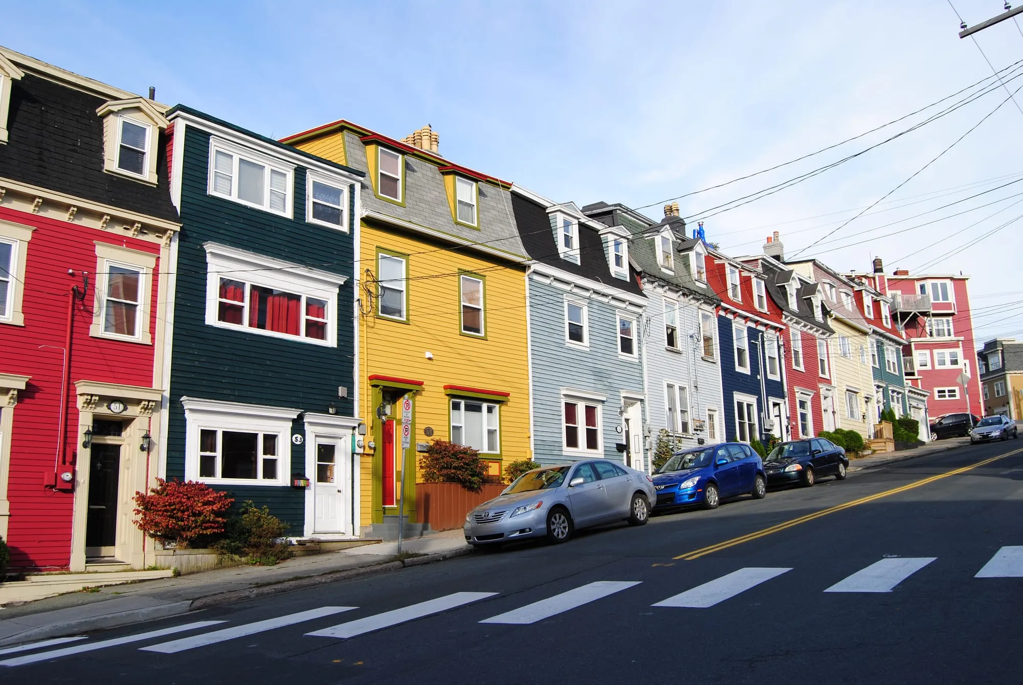 St. John's7.7 km from St. John's (YYT)335 km from Gander (YQX) · 7.7 km from St. John's (YYT)638 km from Deer Lake (YDF) · 7.7 km from St. John's (YYT)7.7 km from St. John's (YYT)905 km from Port aux Basques (ferry), after 7h at sea · 7.7 km from St. John's (YYT)133 km from Argentia (ferry), after 16.5h at sea (seasonal) · 7.7 km from St. John's (YYT)
 The Edgar Baird Lakeside TrailTrail · 4.2 km walk8.4 km from Gander (YQX)8.4 km from Gander (YQX)Not measured from here yetNot measured from here yetNot measured from here yetNot measured from here yet
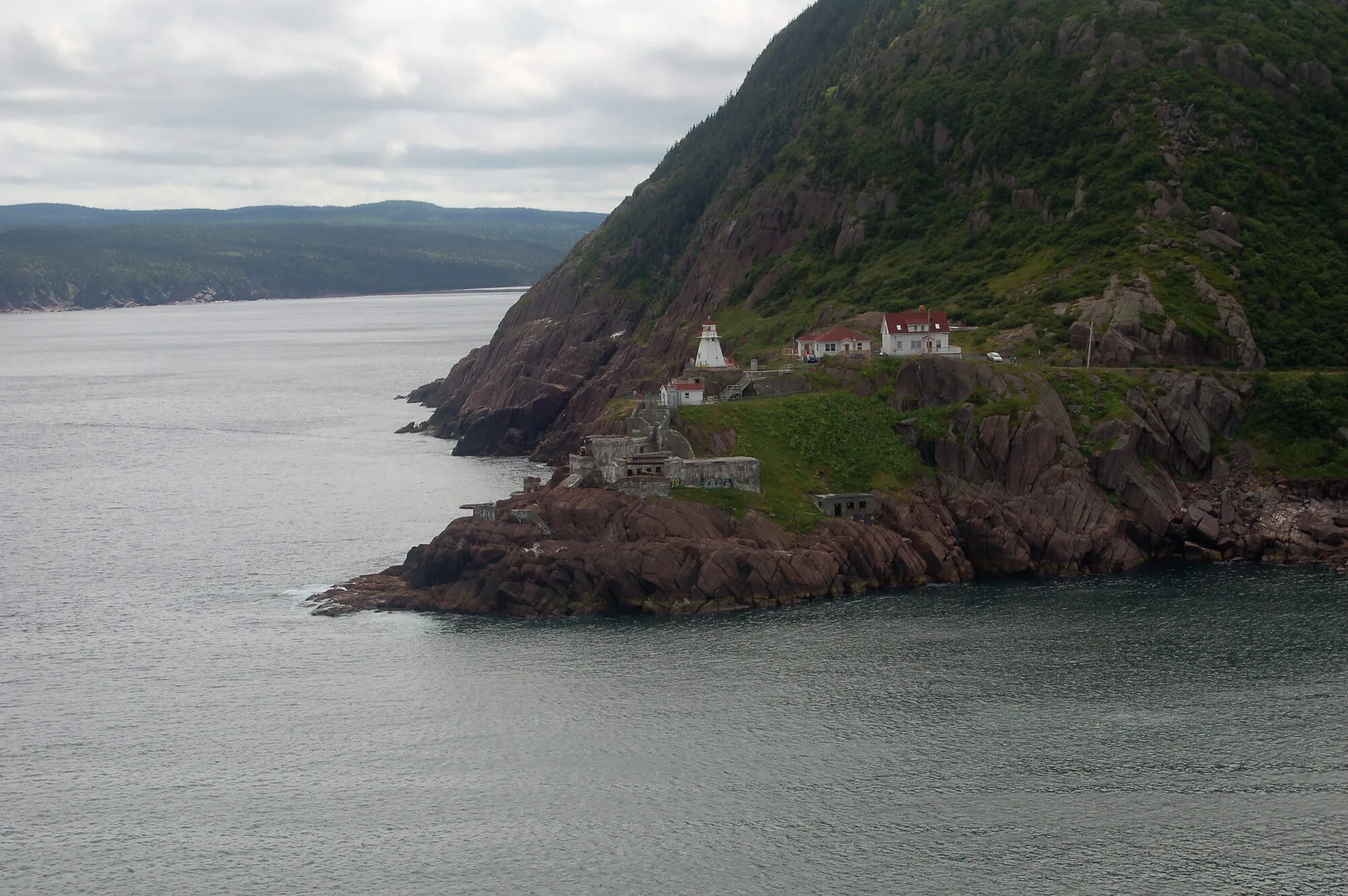 North Head TrailTrail · 1.6 km point to point, one way8.8 km from St. John's (YYT)Not measured from here yetNot measured from here yet8.8 km from St. John's (YYT)Not measured from here yetNot measured from here yet
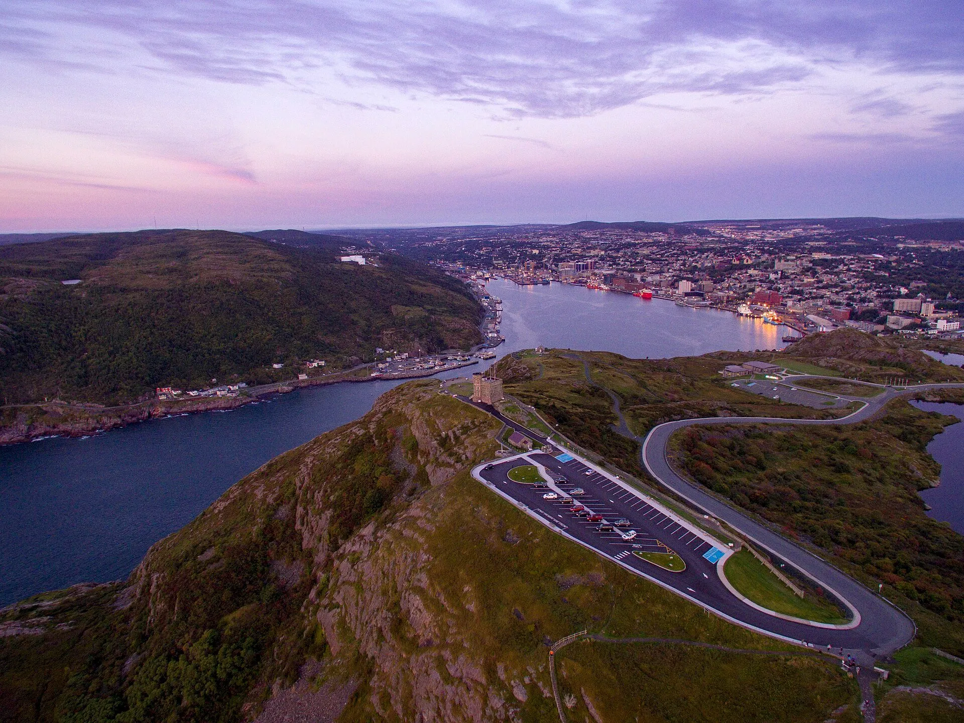 Signal Hill (Cabot Tower)9 km from St. John's (YYT)338 km from Gander (YQX) · 9 km from St. John's (YYT)641 km from Deer Lake (YDF) · 9 km from St. John's (YYT)9 km from St. John's (YYT)907 km from Port aux Basques (ferry), after 7h at sea · 9 km from St. John's (YYT)136 km from Argentia (ferry), after 16.5h at sea (seasonal) · 9 km from St. John's (YYT)
- The O'Brien FarmFilming spot · Frontier, St. John's9 km from St. John's (YYT)332 km from Gander (YQX) · 9 km from St. John's (YYT)635 km from Deer Lake (YDF) · 9 km from St. John's (YYT)9 km from St. John's (YYT)902 km from Port aux Basques (ferry), after 7h at sea · 9 km from St. John's (YYT)130 km from Argentia (ferry), after 16.5h at sea (seasonal) · 9 km from St. John's (YYT)
- Ocean Sciences CentreFilming spot · Below, Logy Bay, St. John's10 km from St. John's (YYT)341 km from Gander (YQX) · 10 km from St. John's (YYT)644 km from Deer Lake (YDF) · 10 km from St. John's (YYT)10 km from St. John's (YYT)911 km from Port aux Basques (ferry), after 7h at sea · 10 km from St. John's (YYT)139 km from Argentia (ferry), after 16.5h at sea (seasonal) · 10 km from St. John's (YYT)
- Middle Cove BeachFilming spot · Frontier, Logy Bay-Middle Cove-Outer Cove10 km from St. John's (YYT)342 km from Gander (YQX) · 10 km from St. John's (YYT)645 km from Deer Lake (YDF) · 10 km from St. John's (YYT)10 km from St. John's (YYT)912 km from Port aux Basques (ferry), after 7h at sea · 10 km from St. John's (YYT)140 km from Argentia (ferry), after 16.5h at sea (seasonal) · 10 km from St. John's (YYT)
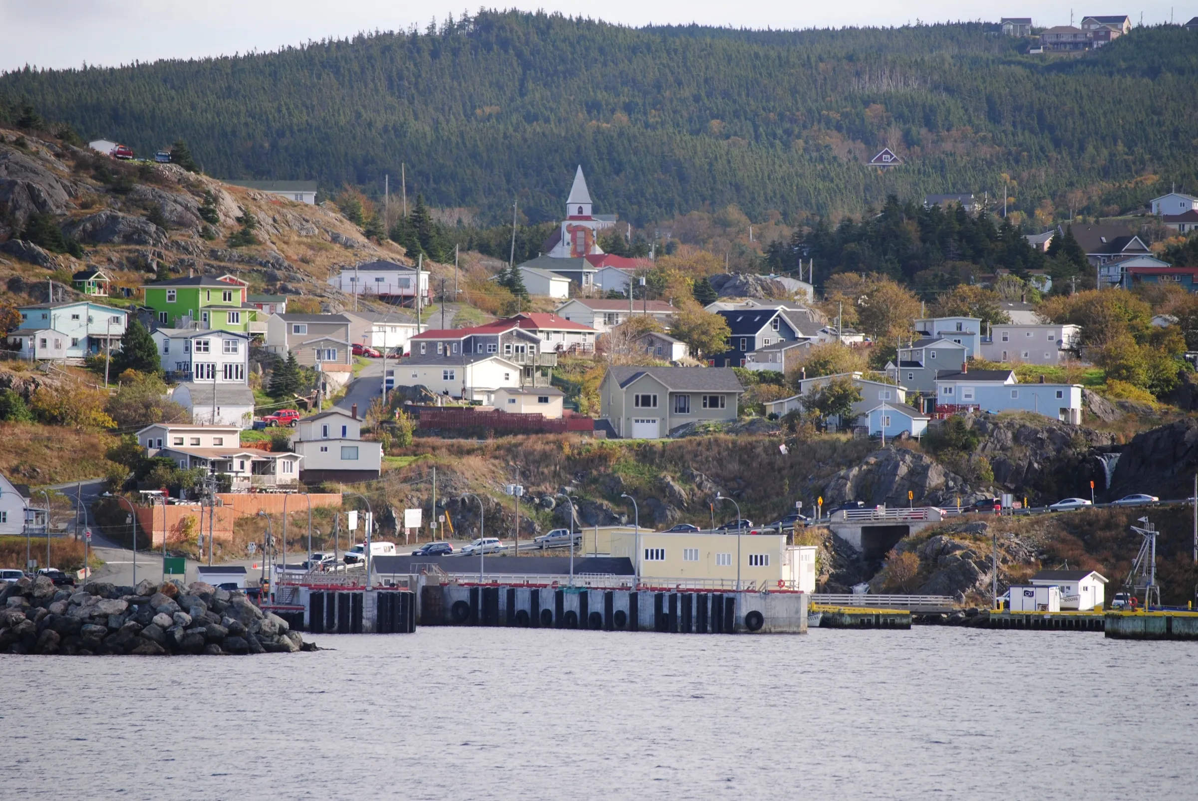 Portugal Cove ferry terminal11 km from St. John's (YYT), then a ferry338 km from Gander (YQX), then a ferry · 11 km from St. John's (YYT)641 km from Deer Lake (YDF), then a ferry · 11 km from St. John's (YYT)11 km from St. John's (YYT), then a ferry908 km from Port aux Basques (ferry), after 7h at sea, then a ferry · 11 km from St. John's (YYT)136 km from Argentia (ferry), after 16.5h at sea (seasonal), then a ferry · 11 km from St. John's (YYT)
 Piccos Ridge PathTrail · 14.5 km point to point, one way11 km from St. John's (YYT)Not measured from here yetNot measured from here yet11 km from St. John's (YYT)Not measured from here yetNot measured from here yet
 Father Troy's PathTrail · 8.9 km point to point, one way12 km from St. John's (YYT)Not measured from here yetNot measured from here yet12 km from St. John's (YYT)Not measured from here yetNot measured from here yet
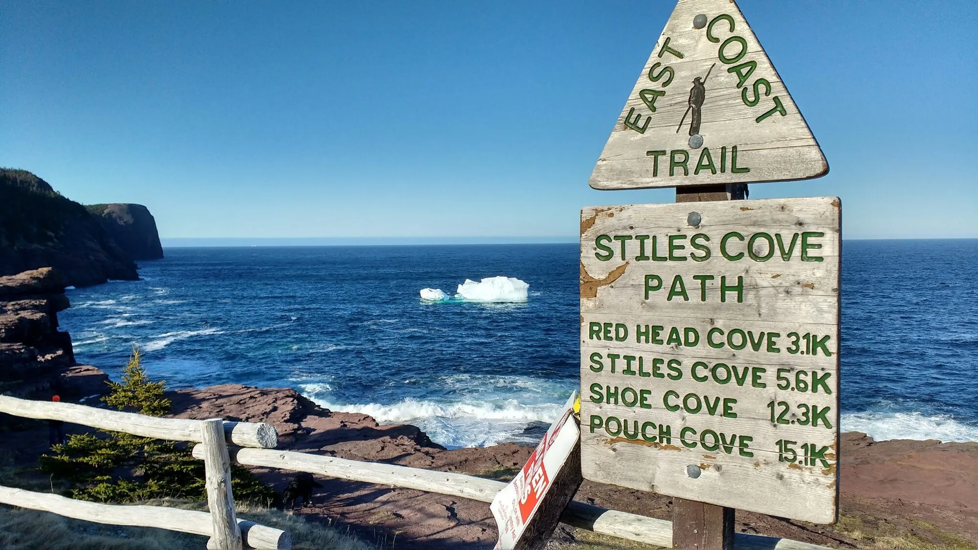 Stiles Cove PathTrail · 15.1 km point to point, one way20 km from St. John's (YYT)Not measured from here yetNot measured from here yet20 km from St. John's (YYT)Not measured from here yetNot measured from here yet
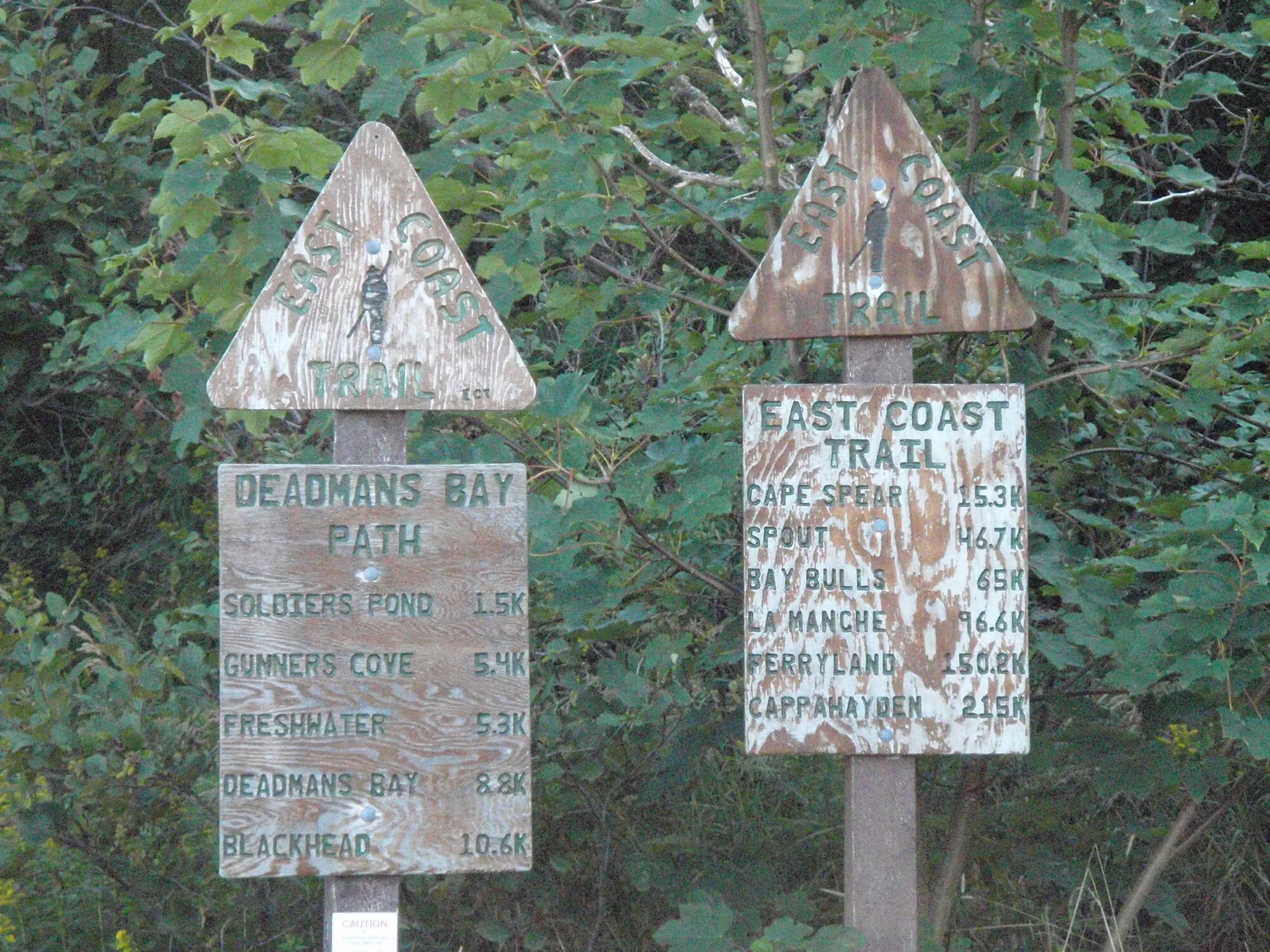 The Deadmans Bay PathTrail · 10.5 km point to point, one way20 km from St. John's (YYT)Not measured from here yetNot measured from here yet20 km from St. John's (YYT)Not measured from here yetNot measured from here yet
 White Horse PathTrail · 18.2 km point to point, one way21 km from St. John's (YYT)Not measured from here yetNot measured from here yet21 km from St. John's (YYT)Not measured from here yetNot measured from here yet
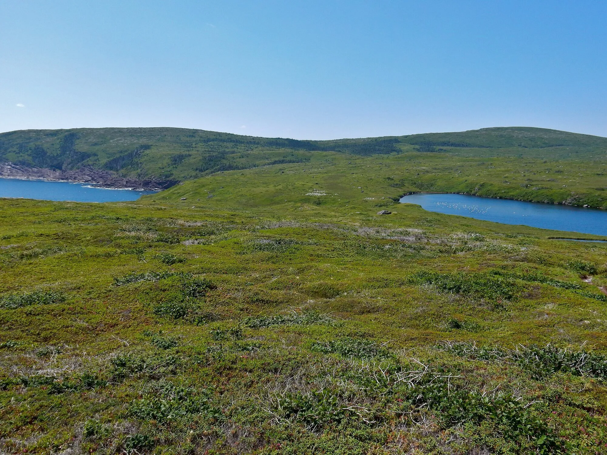 Motion PathTrail · 13.8 km point to point, one way23 km from St. John's (YYT)Not measured from here yetNot measured from here yet23 km from St. John's (YYT)Not measured from here yetNot measured from here yet
- Marine ParkFilming spot · Below, Pouch Cove23 km from St. John's (YYT)355 km from Gander (YQX) · 23 km from St. John's (YYT)658 km from Deer Lake (YDF) · 23 km from St. John's (YYT)23 km from St. John's (YYT)925 km from Port aux Basques (ferry), after 7h at sea · 23 km from St. John's (YYT)153 km from Argentia (ferry), after 16.5h at sea (seasonal) · 23 km from St. John's (YYT)
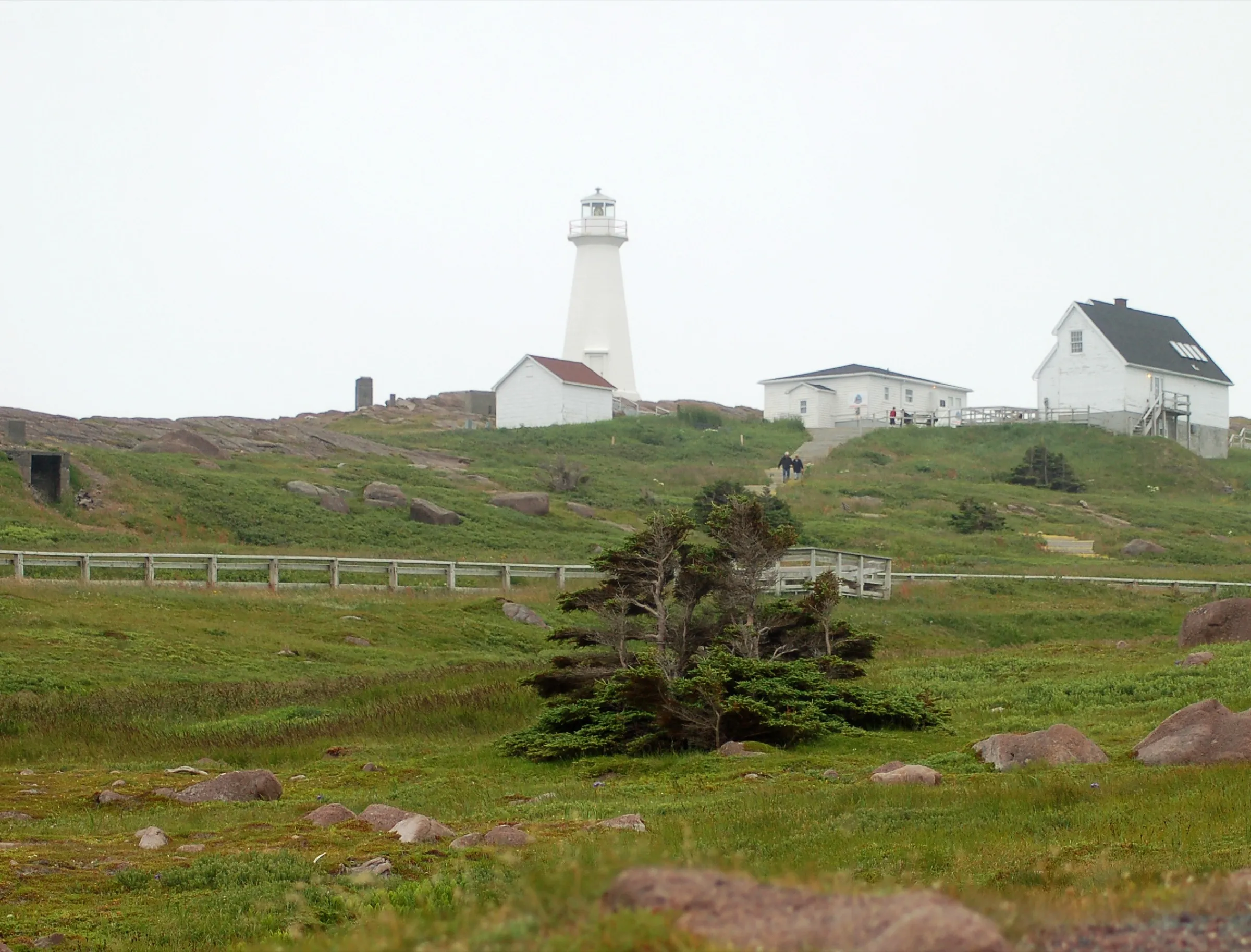 Cape Spear24 km from St. John's (YYT)346 km from Gander (YQX) · 24 km from St. John's (YYT)649 km from Deer Lake (YDF) · 24 km from St. John's (YYT)24 km from St. John's (YYT)916 km from Port aux Basques (ferry), after 7h at sea · 24 km from St. John's (YYT)144 km from Argentia (ferry), after 16.5h at sea (seasonal) · 24 km from St. John's (YYT)
25 to 75 km
- Pouch Cove Heritage SocietyFilming spot · Below, Pouch Cove25 km from St. John's (YYT)357 km from Gander (YQX) · 25 km from St. John's (YYT)660 km from Deer Lake (YDF) · 25 km from St. John's (YYT)25 km from St. John's (YYT)927 km from Port aux Basques (ferry), after 7h at sea · 25 km from St. John's (YYT)155 km from Argentia (ferry), after 16.5h at sea (seasonal) · 25 km from St. John's (YYT)
 Biscane Cove TrailTrail · 7 km point to point, one way26 km from St. John's (YYT)Not measured from here yetNot measured from here yet26 km from St. John's (YYT)Not measured from here yetNot measured from here yet
- Bay Bulls harbourFilming spot · Below, Bay Bulls40 km from St. John's (YYT)316 km from Gander (YQX) · 40 km from St. John's (YYT)619 km from Deer Lake (YDF) · 40 km from St. John's (YYT)40 km from St. John's (YYT)885 km from Port aux Basques (ferry), after 7h at sea · 40 km from St. John's (YYT)114 km from Argentia (ferry), after 16.5h at sea (seasonal) · 40 km from St. John's (YYT)
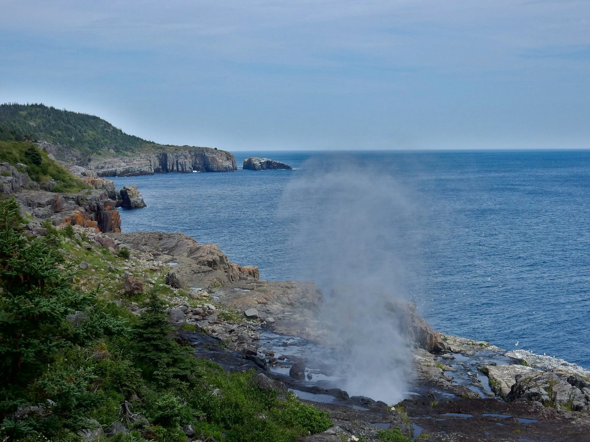 The Spout PathTrail · 16.2 km point to point, one way43 km from St. John's (YYT)Not measured from here yetNot measured from here yet43 km from St. John's (YYT)Not measured from here yetNot measured from here yet
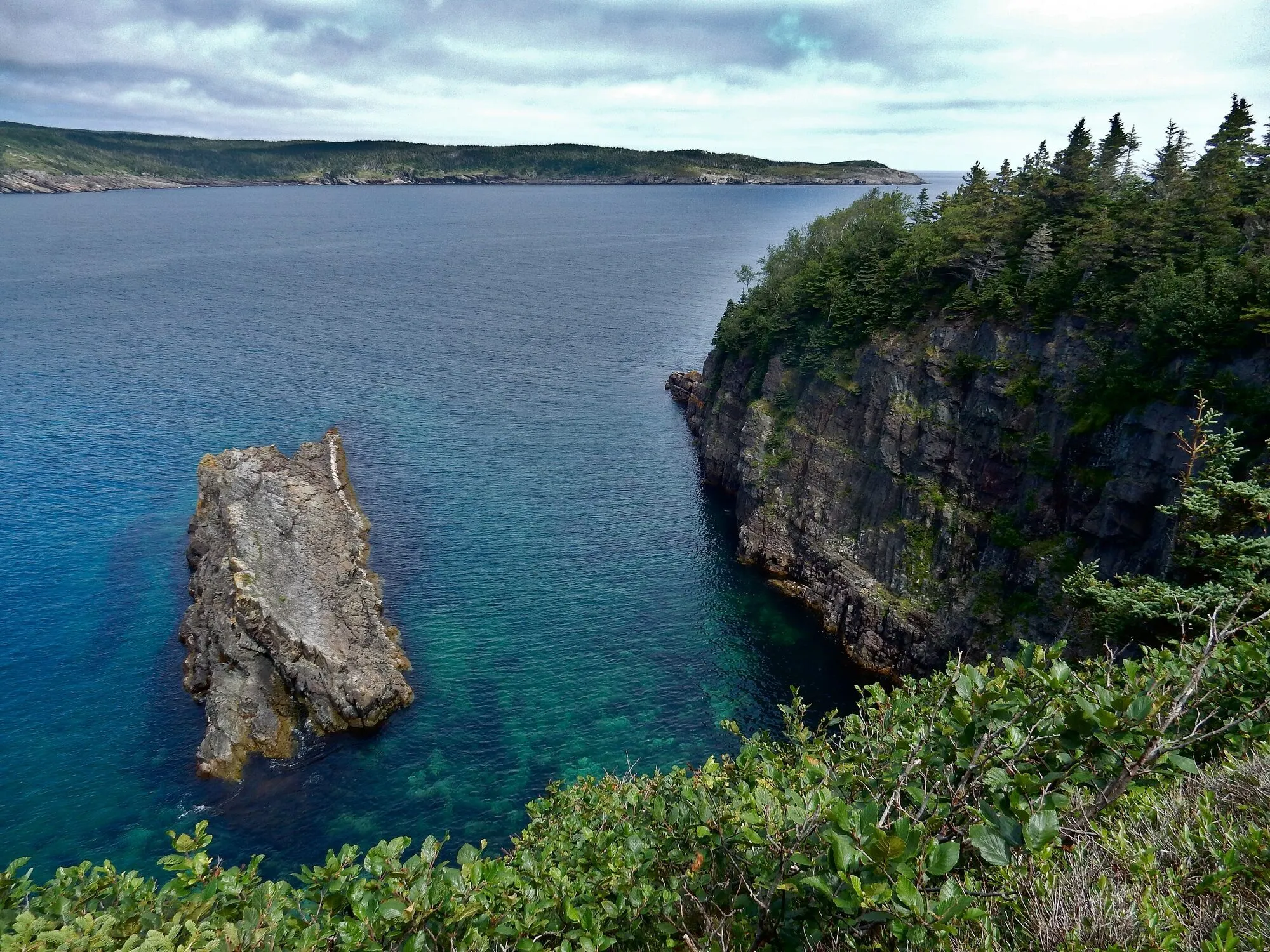 Mickeleens PathTrail · 7.2 km point to point, one way45 km from St. John's (YYT)Not measured from here yetNot measured from here yet45 km from St. John's (YYT)Not measured from here yetNot measured from here yet
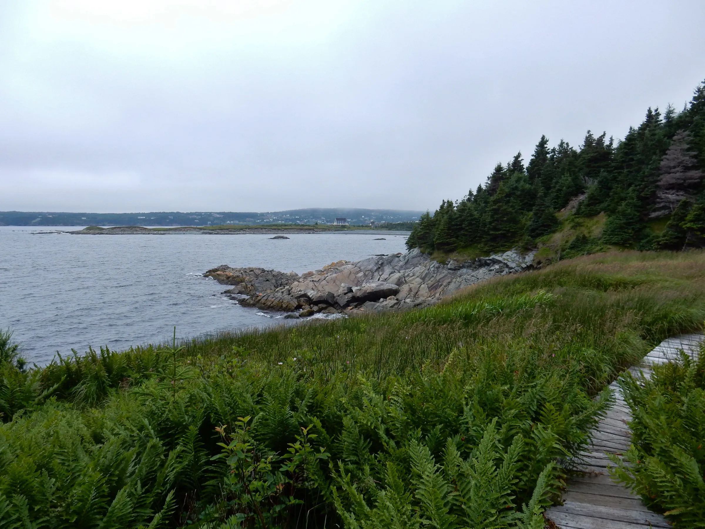 Witless Bay46 km from St. John's (YYT)316 km from Gander (YQX) · 46 km from St. John's (YYT)619 km from Deer Lake (YDF) · 46 km from St. John's (YYT)46 km from St. John's (YYT)886 km from Port aux Basques (ferry), after 7h at sea · 46 km from St. John's (YYT)114 km from Argentia (ferry), after 16.5h at sea (seasonal) · 46 km from St. John's (YYT)
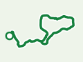 Stuckless Pond TrailTrail · 9.5 km lollipop47 km from Deer Lake (YDF)Not measured from here yet47 km from Deer Lake (YDF)Not measured from here yetNot measured from here yetNot measured from here yet
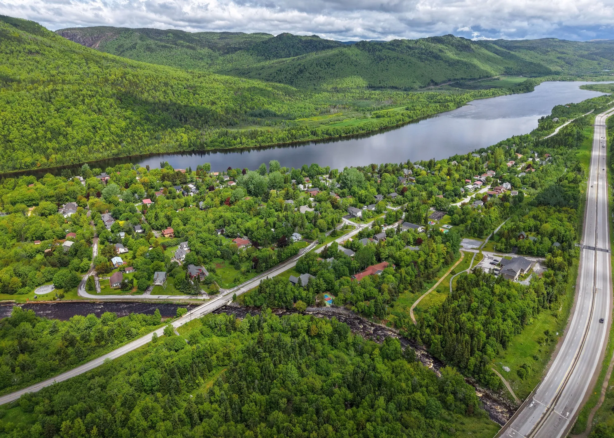 Marble Mountain (Steady Brook)47 km from Deer Lake (YDF)351 km from Gander (YQX) · 47 km from Deer Lake (YDF)47 km from Deer Lake (YDF)682 km from St. John's (YYT) · 47 km from Deer Lake (YDF)225 km from Port aux Basques (ferry), after 7h at sea · 47 km from Deer Lake (YDF)638 km from Argentia (ferry), after 16.5h at sea (seasonal) · 47 km from Deer Lake (YDF)
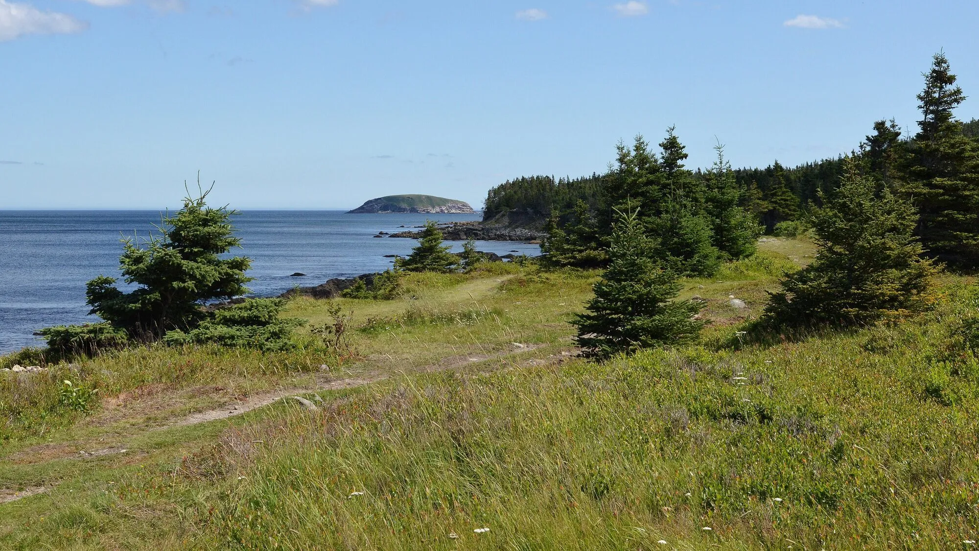 Beaches PathTrail · 7.1 km point to point, one way48 km from St. John's (YYT)Not measured from here yetNot measured from here yet48 km from St. John's (YYT)Not measured from here yetNot measured from here yet
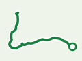 Stanleyville TrailTrail · 4.8 km out and back51 km from Deer Lake (YDF)Not measured from here yet51 km from Deer Lake (YDF)Not measured from here yetNot measured from here yetNot measured from here yet
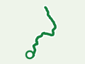 Tinkers Point PathTrail · 5 km point to point, one way53 km from St. John's (YYT)Not measured from here yetNot measured from here yet53 km from St. John's (YYT)Not measured from here yetNot measured from here yet
- Rising Tide ConvenienceFilming spot · Below, Harbour Main55 km from St. John's (YYT)287 km from Gander (YQX) · 55 km from St. John's (YYT)591 km from Deer Lake (YDF) · 55 km from St. John's (YYT)55 km from St. John's (YYT)857 km from Port aux Basques (ferry), after 7h at sea · 55 km from St. John's (YYT)86 km from Argentia (ferry), after 16.5h at sea (seasonal) · 55 km from St. John's (YYT)
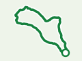 Eelbrook Hiking TrailTrail · 2.5 km loop56 km from Gander (YQX)56 km from Gander (YQX)Not measured from here yetNot measured from here yetNot measured from here yetNot measured from here yet
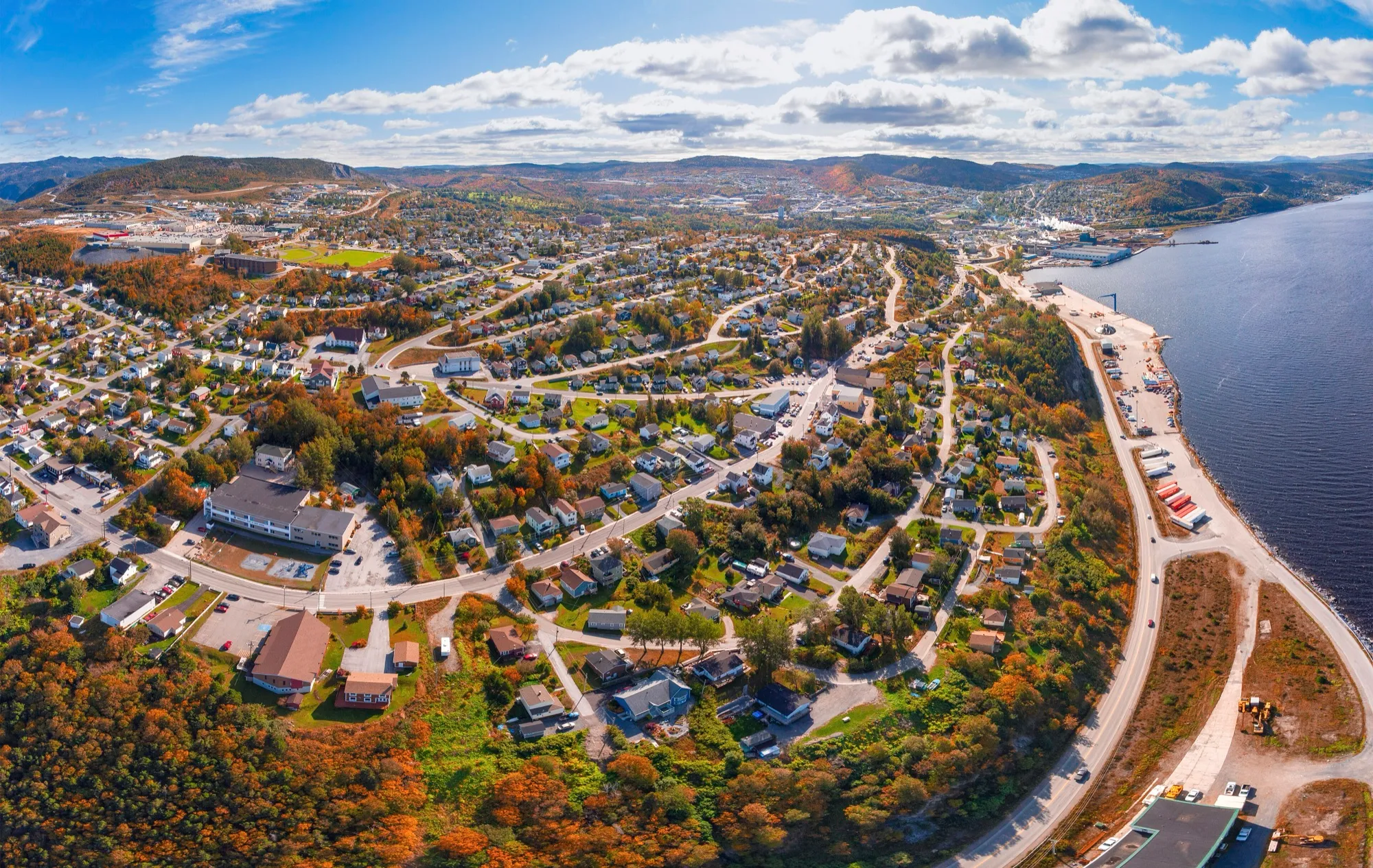 Corner Brook57 km from Deer Lake (YDF)360 km from Gander (YQX) · 57 km from Deer Lake (YDF)57 km from Deer Lake (YDF)692 km from St. John's (YYT) · 57 km from Deer Lake (YDF)222 km from Port aux Basques (ferry), after 7h at sea · 57 km from Deer Lake (YDF)647 km from Argentia (ferry), after 16.5h at sea (seasonal) · 57 km from Deer Lake (YDF)
- Backcountry near Corner BrookFilming spot · Frontier, Corner Brook57 km from Deer Lake (YDF)361 km from Gander (YQX) · 57 km from Deer Lake (YDF)57 km from Deer Lake (YDF)692 km from St. John's (YYT) · 57 km from Deer Lake (YDF)219 km from Port aux Basques (ferry), after 7h at sea · 57 km from Deer Lake (YDF)648 km from Argentia (ferry), after 16.5h at sea (seasonal) · 57 km from Deer Lake (YDF)
 Cardio ClimbTrail · 7.6 km walk60 km from Deer Lake (YDF)Not measured from here yet60 km from Deer Lake (YDF)Not measured from here yetNot measured from here yetNot measured from here yet
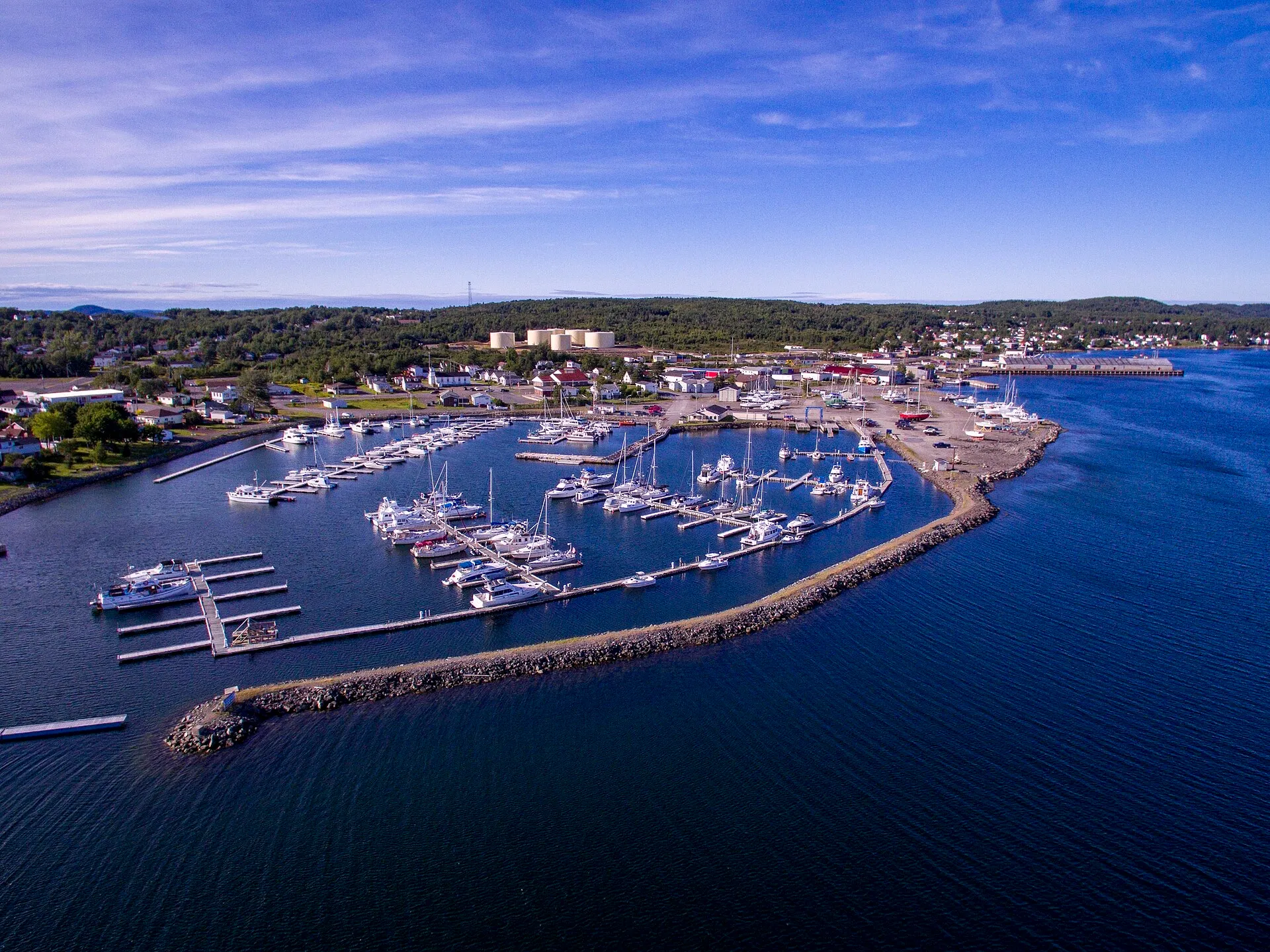 Lewisporte63 km from Gander (YQX)63 km from Gander (YQX)276 km from Deer Lake (YDF) · 63 km from Gander (YQX)395 km from St. John's (YYT) · 63 km from Gander (YQX)542 km from Port aux Basques (ferry), after 7h at sea · 63 km from Gander (YQX)350 km from Argentia (ferry), after 16.5h at sea (seasonal) · 63 km from Gander (YQX)
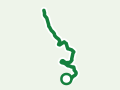 Carmanville Wetlands Main LineTrail · 3 km walk64 km from Gander (YQX)64 km from Gander (YQX)Not measured from here yetNot measured from here yetNot measured from here yetNot measured from here yet
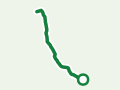 Gill's Point TrailTrail · 8.2 km walk65 km from Gander (YQX)65 km from Gander (YQX)Not measured from here yetNot measured from here yetNot measured from here yetNot measured from here yet
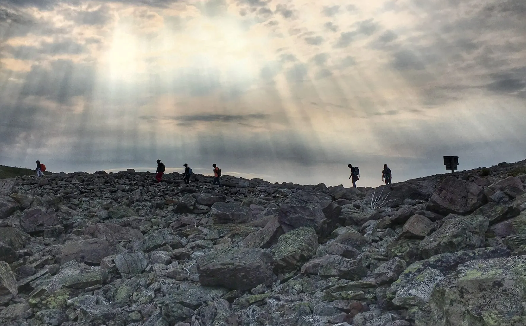 The Gros Morne Mountain TrailTrail · 17 km lollipop65 km from Deer Lake (YDF)Not measured from here yet65 km from Deer Lake (YDF)Not measured from here yetNot measured from here yetNot measured from here yet
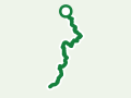 Flamber Head PathTrail · 11.5 km point to point, one way67 km from St. John's (YYT)Not measured from here yetNot measured from here yet67 km from St. John's (YYT)Not measured from here yetNot measured from here yet
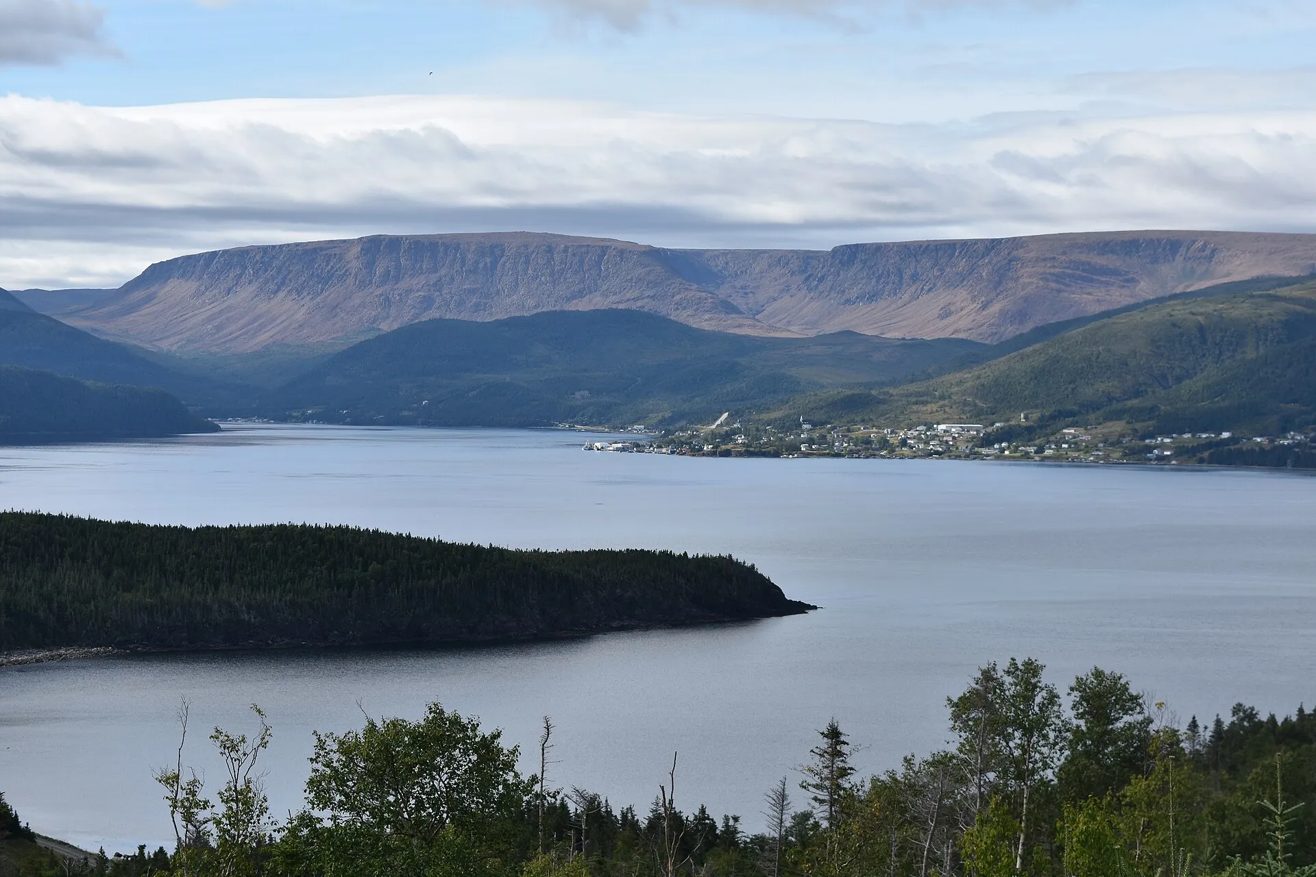 Woody Point (south Gros Morne)67 km from Deer Lake (YDF)371 km from Gander (YQX) · 67 km from Deer Lake (YDF)67 km from Deer Lake (YDF)702 km from St. John's (YYT) · 67 km from Deer Lake (YDF)332 km from Port aux Basques (ferry), after 7h at sea · 67 km from Deer Lake (YDF)658 km from Argentia (ferry), after 16.5h at sea (seasonal) · 67 km from Deer Lake (YDF)
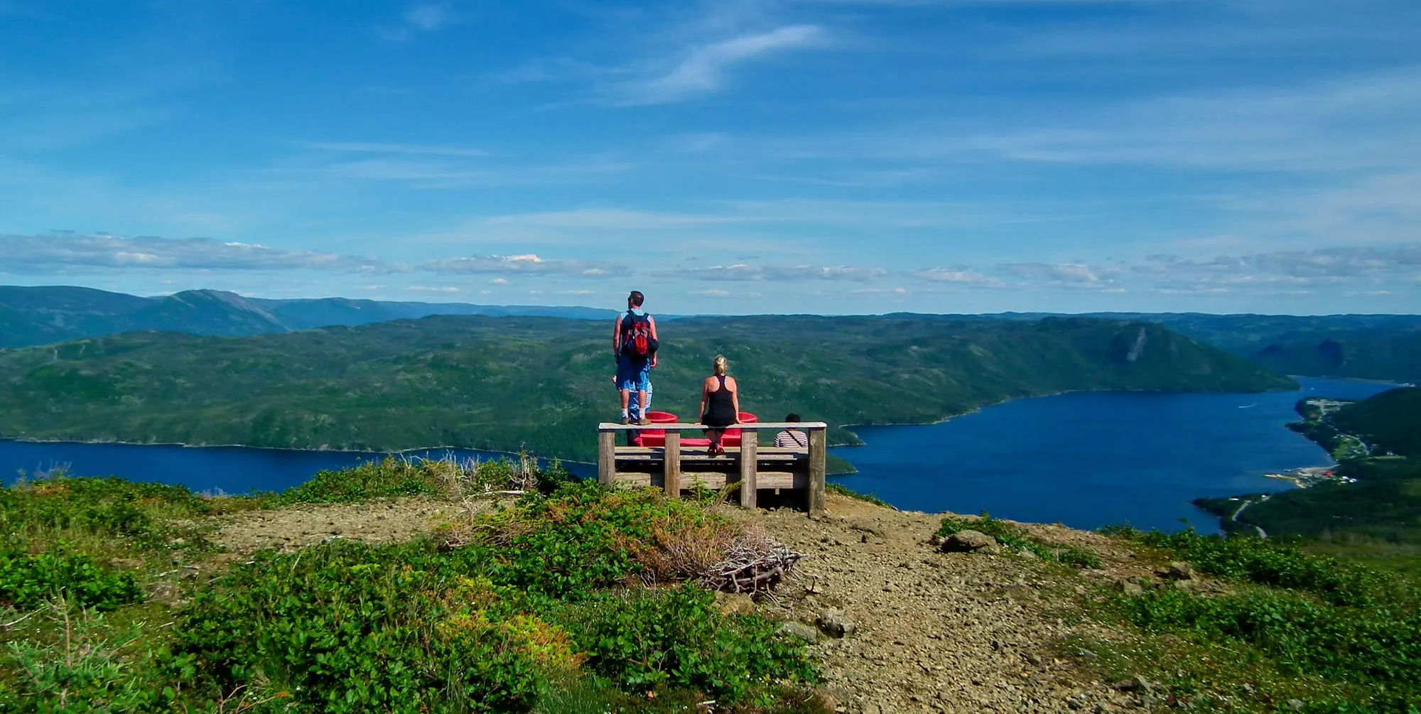 Lookout Trail (Gros Morne)Trail · 5.8 km loop68 km from Deer Lake (YDF)Not measured from here yet68 km from Deer Lake (YDF)Not measured from here yetNot measured from here yetNot measured from here yet
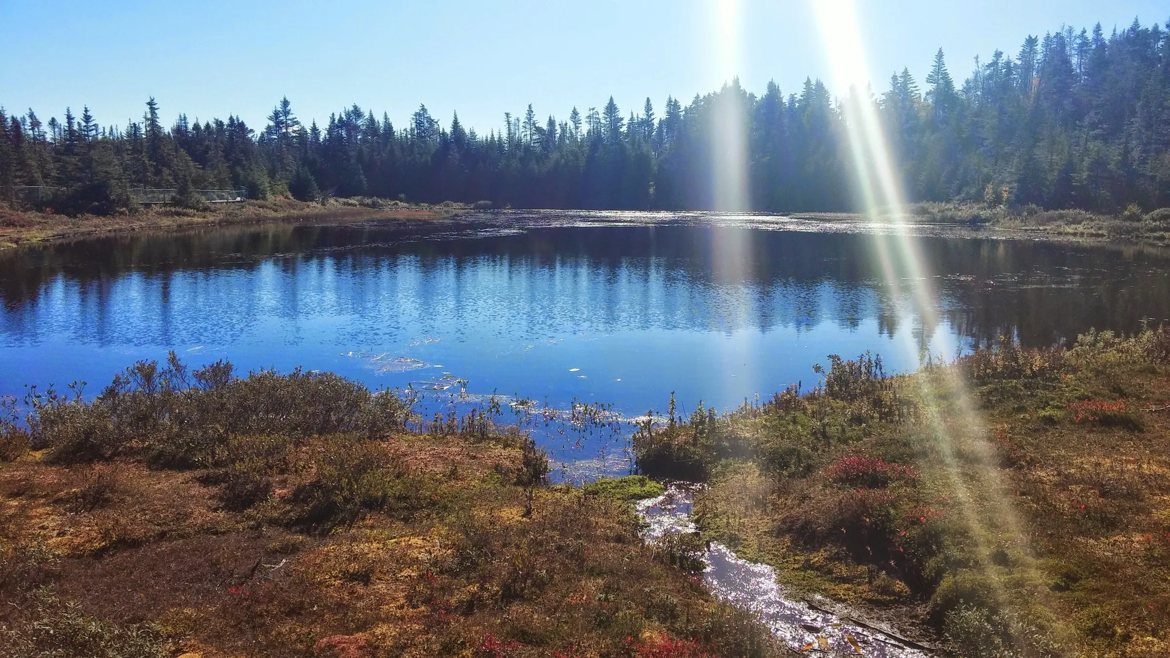 Salmonier Nature Park68 km from St. John's (YYT)292 km from Gander (YQX) · 68 km from St. John's (YYT)595 km from Deer Lake (YDF) · 68 km from St. John's (YYT)68 km from St. John's (YYT)861 km from Port aux Basques (ferry), after 7h at sea · 68 km from St. John's (YYT)90 km from Argentia (ferry), after 16.5h at sea (seasonal) · 68 km from St. John's (YYT)
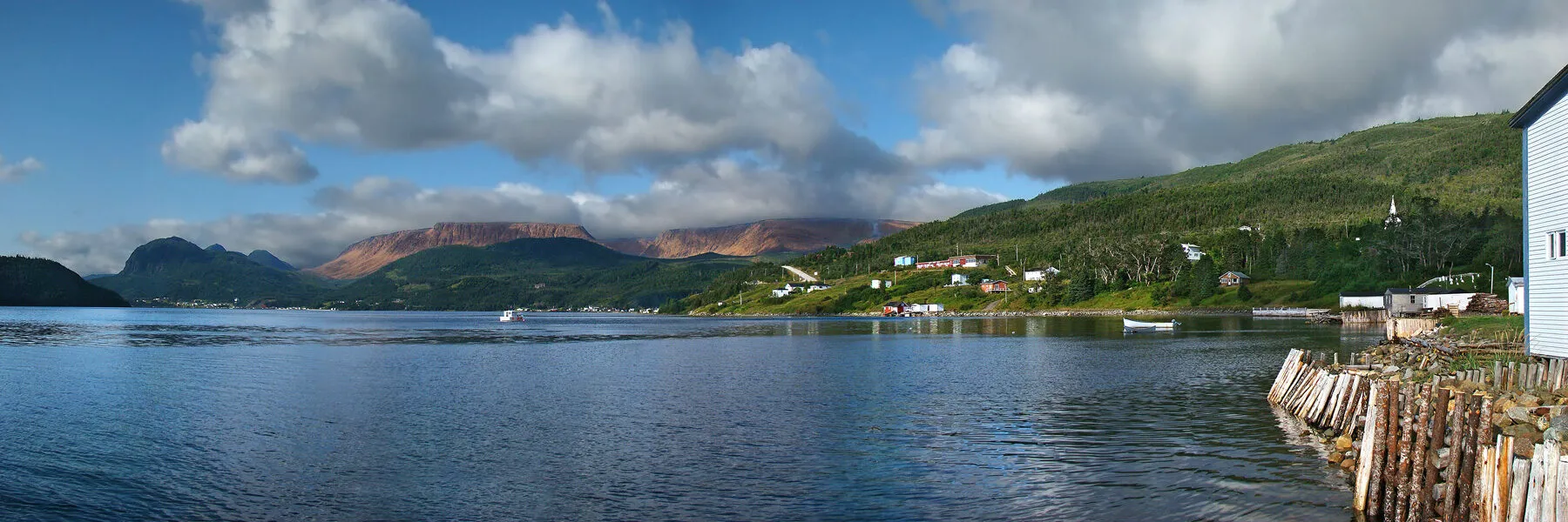 Woody Point Lookout TrailTrail · 2.2 km walk68 km from Deer Lake (YDF)Not measured from here yet68 km from Deer Lake (YDF)Not measured from here yetNot measured from here yetNot measured from here yet
 Louil Hill TrailTrail · 3.7 km loop70 km from Gander (YQX)70 km from Gander (YQX)Not measured from here yetNot measured from here yetNot measured from here yetNot measured from here yet
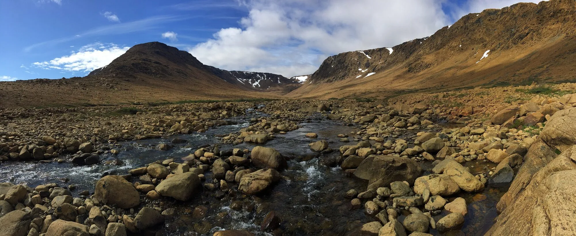 Tablelands Off-Trail: the plateau traverse, measuredTrail · 18 km walk71 km from Deer Lake (YDF)Not measured from here yet71 km from Deer Lake (YDF)Not measured from here yetNot measured from here yetNot measured from here yet
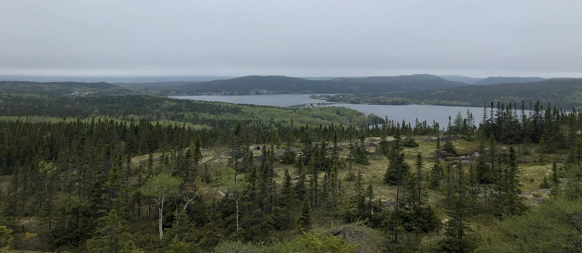 Mill Cove Lookout TrailTrail · 1.6 km out and back72 km from Gander (YQX)72 km from Gander (YQX)Not measured from here yetNot measured from here yetNot measured from here yetNot measured from here yet
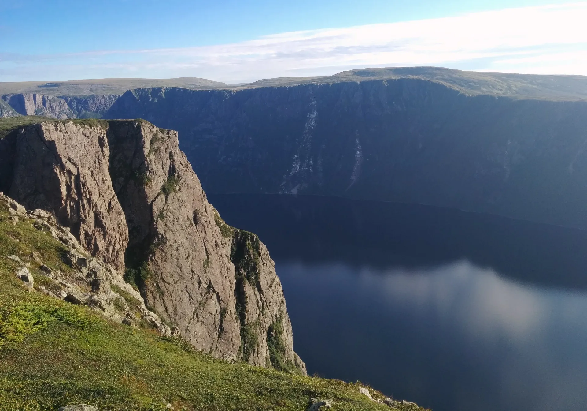 Rocky Harbour72 km from Deer Lake (YDF)375 km from Gander (YQX) · 72 km from Deer Lake (YDF)72 km from Deer Lake (YDF)707 km from St. John's (YYT) · 72 km from Deer Lake (YDF)337 km from Port aux Basques (ferry), after 7h at sea · 72 km from Deer Lake (YDF)663 km from Argentia (ferry), after 16.5h at sea (seasonal) · 72 km from Deer Lake (YDF)
- Brigus South harbourFilming spot · Below, Brigus South72 km from St. John's (YYT)342 km from Gander (YQX) · 72 km from St. John's (YYT)645 km from Deer Lake (YDF) · 72 km from St. John's (YYT)72 km from St. John's (YYT)912 km from Port aux Basques (ferry), after 7h at sea · 72 km from St. John's (YYT)140 km from Argentia (ferry), after 16.5h at sea (seasonal) · 72 km from St. John's (YYT)
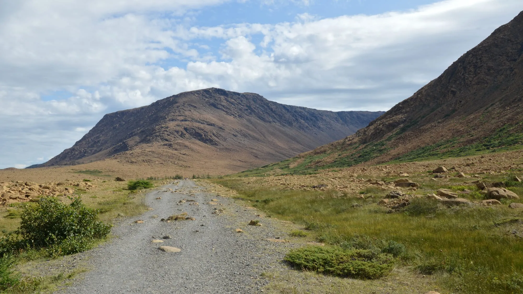 The Tablelands TrailTrail · 4 km out and back72 km from Deer Lake (YDF)Not measured from here yet72 km from Deer Lake (YDF)Not measured from here yetNot measured from here yetNot measured from here yet
 Dover (the Dover Fault)73 km from Gander (YQX)73 km from Gander (YQX)376 km from Deer Lake (YDF) · 73 km from Gander (YQX)323 km from St. John's (YYT) · 73 km from Gander (YQX)642 km from Port aux Basques (ferry), after 7h at sea · 73 km from Gander (YQX)279 km from Argentia (ferry), after 16.5h at sea (seasonal) · 73 km from Gander (YQX)
 Malady Head TrailTrail · 3.8 km out and back75 km from Gander (YQX)75 km from Gander (YQX)Not measured from here yetNot measured from here yetNot measured from here yetNot measured from here yet
75 to 150 km
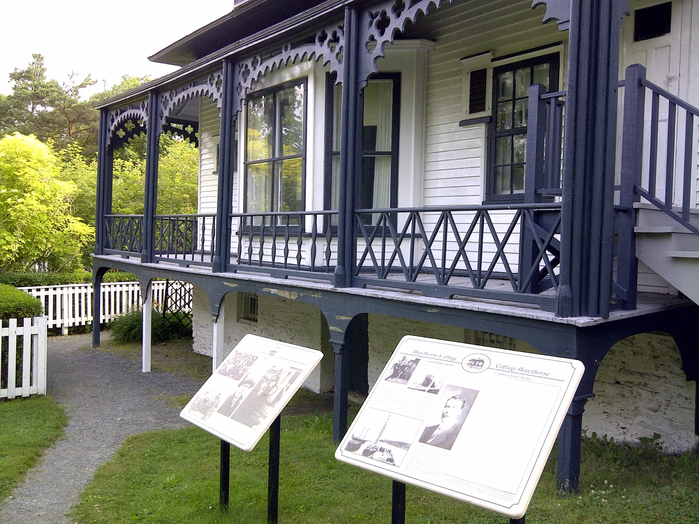 Brigus75 km from St. John's (YYT)280 km from Gander (YQX) · 75 km from St. John's (YYT)583 km from Deer Lake (YDF) · 75 km from St. John's (YYT)75 km from St. John's (YYT)850 km from Port aux Basques (ferry), after 7h at sea · 75 km from St. John's (YYT)78 km from Argentia (ferry), after 16.5h at sea (seasonal) · 75 km from St. John's (YYT)
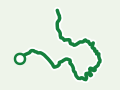 Brigus Head PathTrail · 6.4 km point to point, one way75 km from St. John's (YYT)Not measured from here yetNot measured from here yet75 km from St. John's (YYT)Not measured from here yetNot measured from here yet
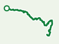 Cape Broyle Head PathTrail · 19.4 km point to point, one way76 km from St. John's (YYT)Not measured from here yetNot measured from here yet76 km from St. John's (YYT)Not measured from here yetNot measured from here yet
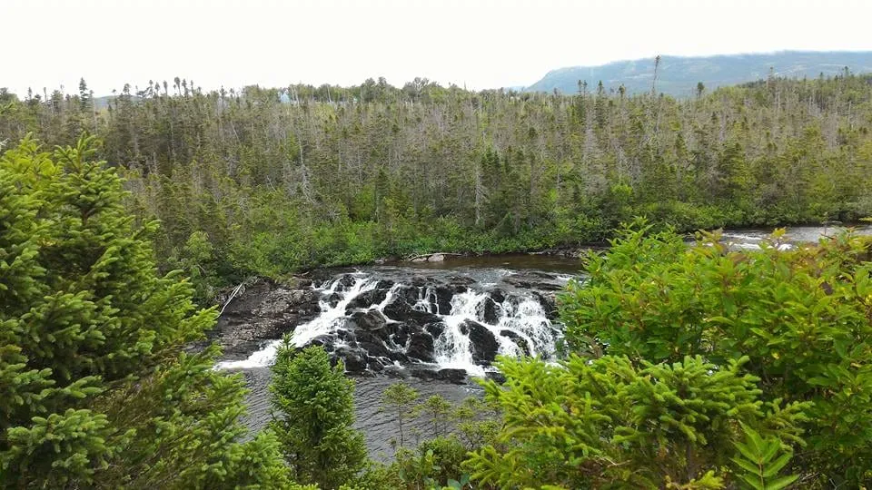 Baker's Brook Falls TrailTrail · 9 km out and back77 km from Deer Lake (YDF)Not measured from here yet77 km from Deer Lake (YDF)Not measured from here yetNot measured from here yetNot measured from here yet
 Berry Hill TrailTrail · 1.4 km out and back77 km from Deer Lake (YDF)Not measured from here yet77 km from Deer Lake (YDF)Not measured from here yetNot measured from here yetNot measured from here yet
 Coastal Trail (Terra Nova)Trail · 8.4 km out and back78 km from Gander (YQX)78 km from Gander (YQX)Not measured from here yetNot measured from here yetNot measured from here yetNot measured from here yet
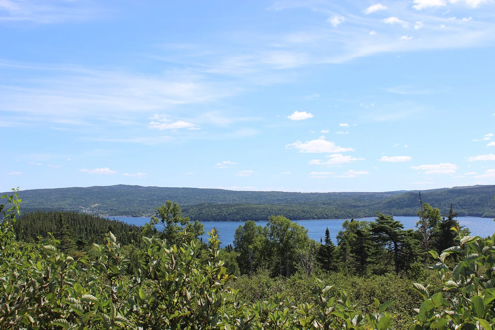 Terra Nova National Park78 km from Gander (YQX)78 km from Gander (YQX)381 km from Deer Lake (YDF) · 78 km from Gander (YQX)262 km from St. John's (YYT) · 78 km from Gander (YQX)648 km from Port aux Basques (ferry), after 7h at sea · 78 km from Gander (YQX)217 km from Argentia (ferry), after 16.5h at sea (seasonal) · 78 km from Gander (YQX)
 Berry Head Pond TrailTrail · 2 km loop78 km from Deer Lake (YDF)Not measured from here yet78 km from Deer Lake (YDF)Not measured from here yetNot measured from here yetNot measured from here yet
 Goowiddy PathTrail · 8 km loop78 km from Gander (YQX)78 km from Gander (YQX)Not measured from here yetNot measured from here yetNot measured from here yetNot measured from here yet
 Mount Stamford Look-off TrailTrail · 2.2 km out and back78 km from Gander (YQX)78 km from Gander (YQX)Not measured from here yetNot measured from here yetNot measured from here yetNot measured from here yet
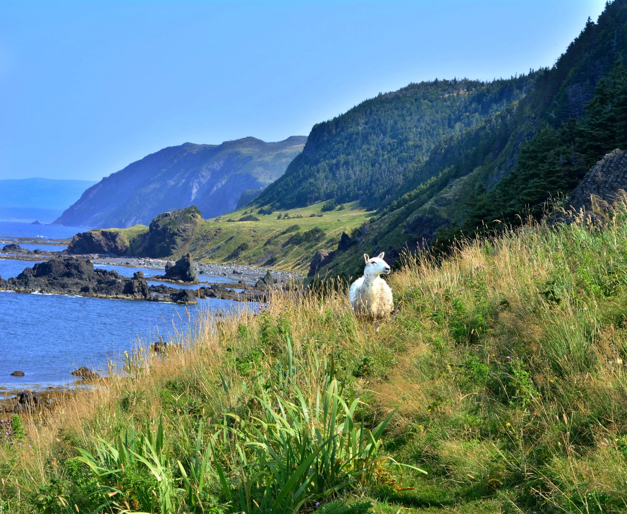 The Green Gardens TrailTrail · 9.2 km out and back80 km from Deer Lake (YDF)Not measured from here yet80 km from Deer Lake (YDF)Not measured from here yetNot measured from here yetNot measured from here yet
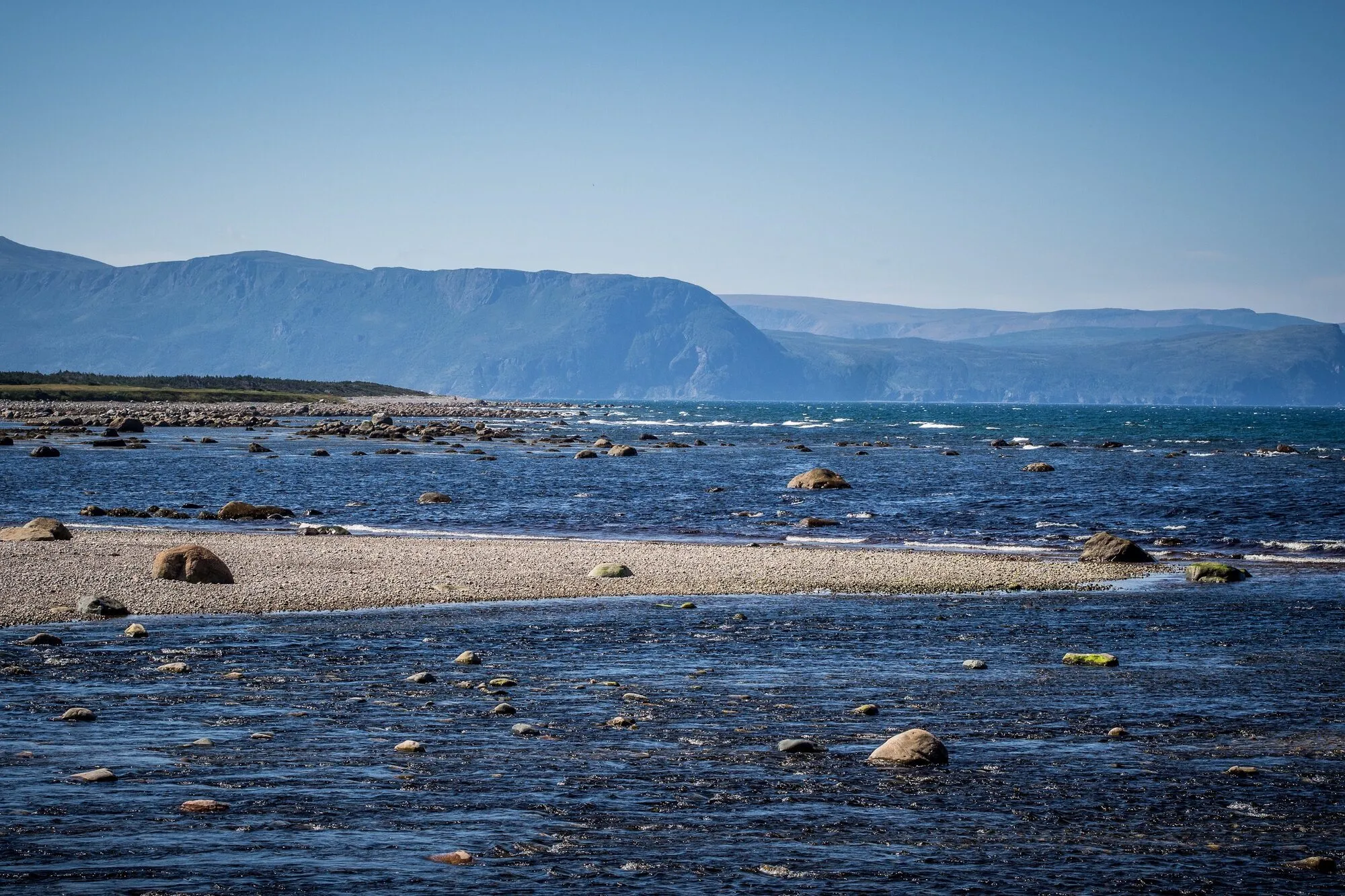 Coastal Trail (Gros Morne)Trail · 5.8 km out and back80 km from Deer Lake (YDF)Not measured from here yet80 km from Deer Lake (YDF)Not measured from here yetNot measured from here yetNot measured from here yet
 Outport TrailTrail · 35 km out and back82 km from Gander (YQX)82 km from Gander (YQX)Not measured from here yetNot measured from here yetNot measured from here yetNot measured from here yet
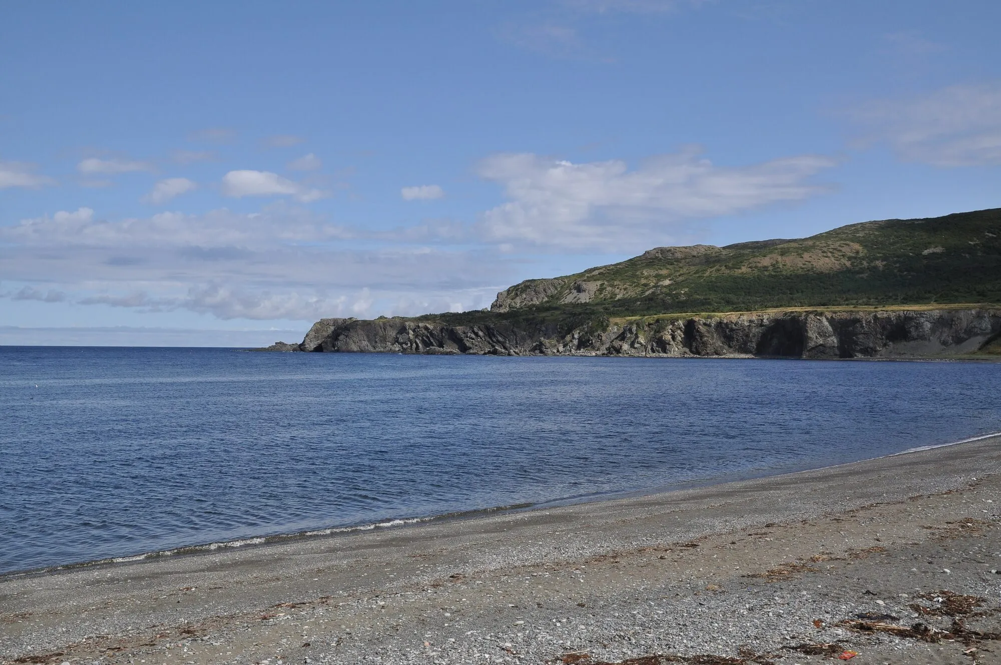 Eastern Point Trail (Trout River)Trail · 2.4 km out and back84 km from Deer Lake (YDF)Not measured from here yet84 km from Deer Lake (YDF)Not measured from here yetNot measured from here yetNot measured from here yet
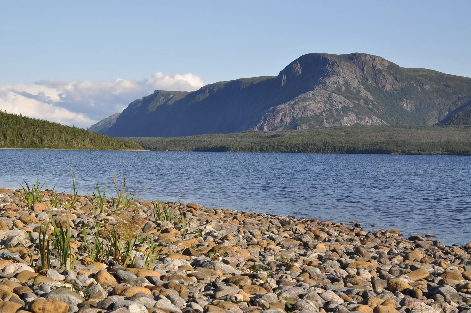 Trout River Pond TrailTrail · 14 km out and back86 km from Deer Lake (YDF)Not measured from here yet86 km from Deer Lake (YDF)Not measured from here yetNot measured from here yetNot measured from here yet
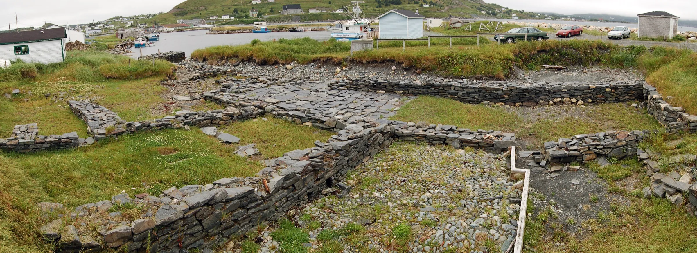 Ferryland86 km from St. John's (YYT)357 km from Gander (YQX) · 86 km from St. John's (YYT)660 km from Deer Lake (YDF) · 86 km from St. John's (YYT)86 km from St. John's (YYT)926 km from Port aux Basques (ferry), after 7h at sea · 86 km from St. John's (YYT)155 km from Argentia (ferry), after 16.5h at sea (seasonal) · 86 km from St. John's (YYT)
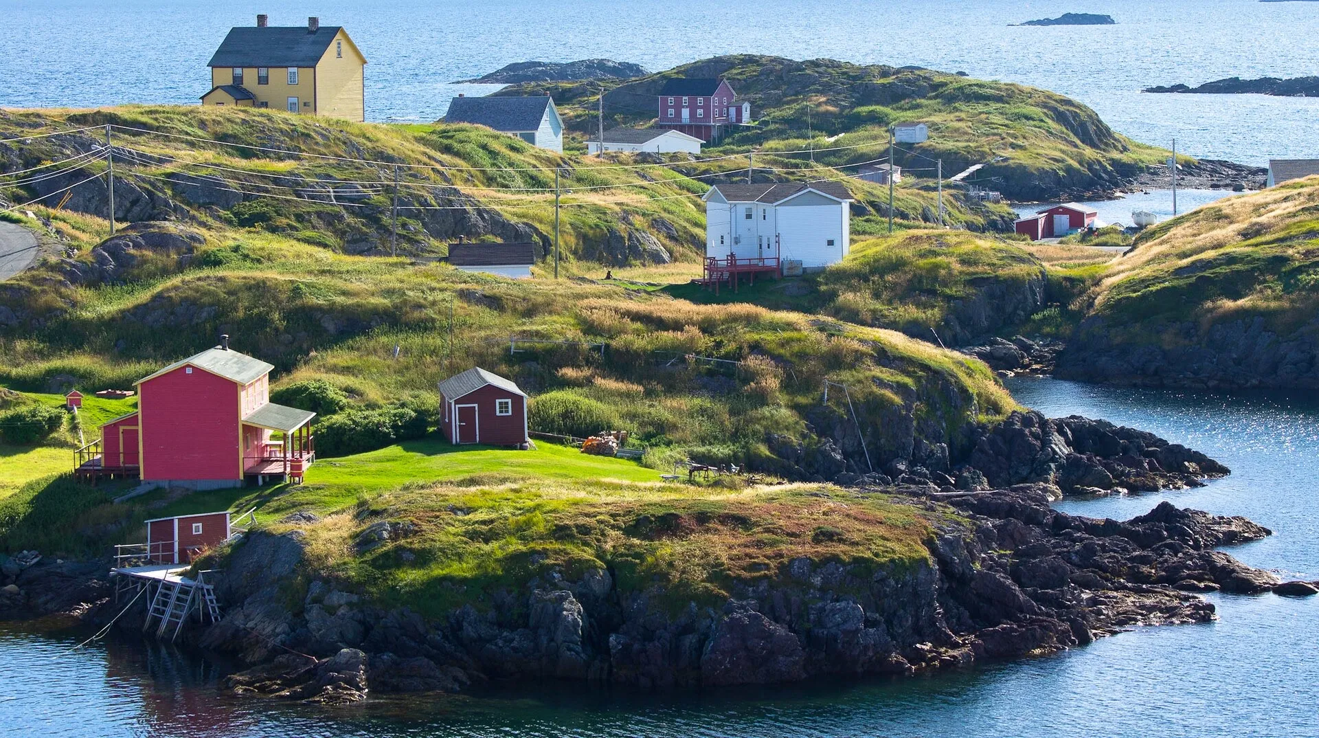 Fogo Island86 km from Gander (YQX), then a ferry86 km from Gander (YQX), then a ferry343 km from Deer Lake (YDF), then a ferry · 86 km from Gander (YQX)419 km from St. John's (YYT), then a ferry · 86 km from Gander (YQX)609 km from Port aux Basques (ferry), after 7h at sea, then a ferry · 86 km from Gander (YQX)375 km from Argentia (ferry), after 16.5h at sea (seasonal), then a ferry · 86 km from Gander (YQX)
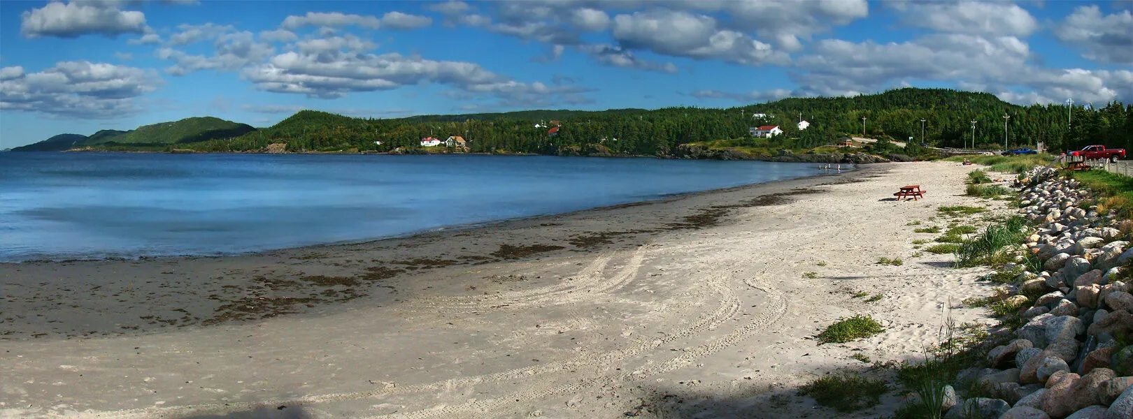 High Tide Trail (Eastport)Trail · 2.6 km out and back88 km from Gander (YQX)88 km from Gander (YQX)Not measured from here yetNot measured from here yetNot measured from here yetNot measured from here yet
 Clarke's Beach88 km from St. John's (YYT)280 km from Gander (YQX) · 88 km from St. John's (YYT)583 km from Deer Lake (YDF) · 88 km from St. John's (YYT)88 km from St. John's (YYT)850 km from Port aux Basques (ferry), after 7h at sea · 88 km from St. John's (YYT)78 km from Argentia (ferry), after 16.5h at sea (seasonal)
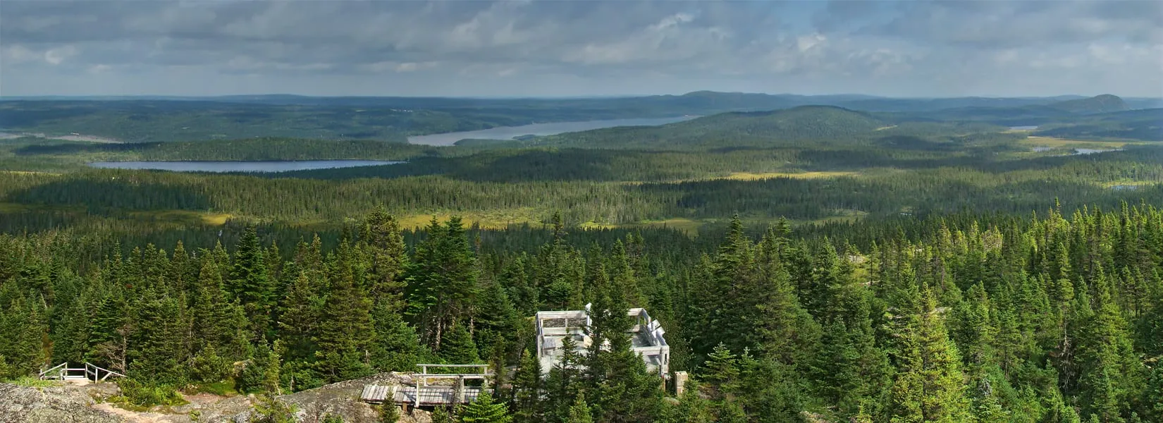 Ochre Hill TrailTrail · 5 km loop88 km from Gander (YQX)88 km from Gander (YQX)Not measured from here yetNot measured from here yetNot measured from here yetNot measured from here yet
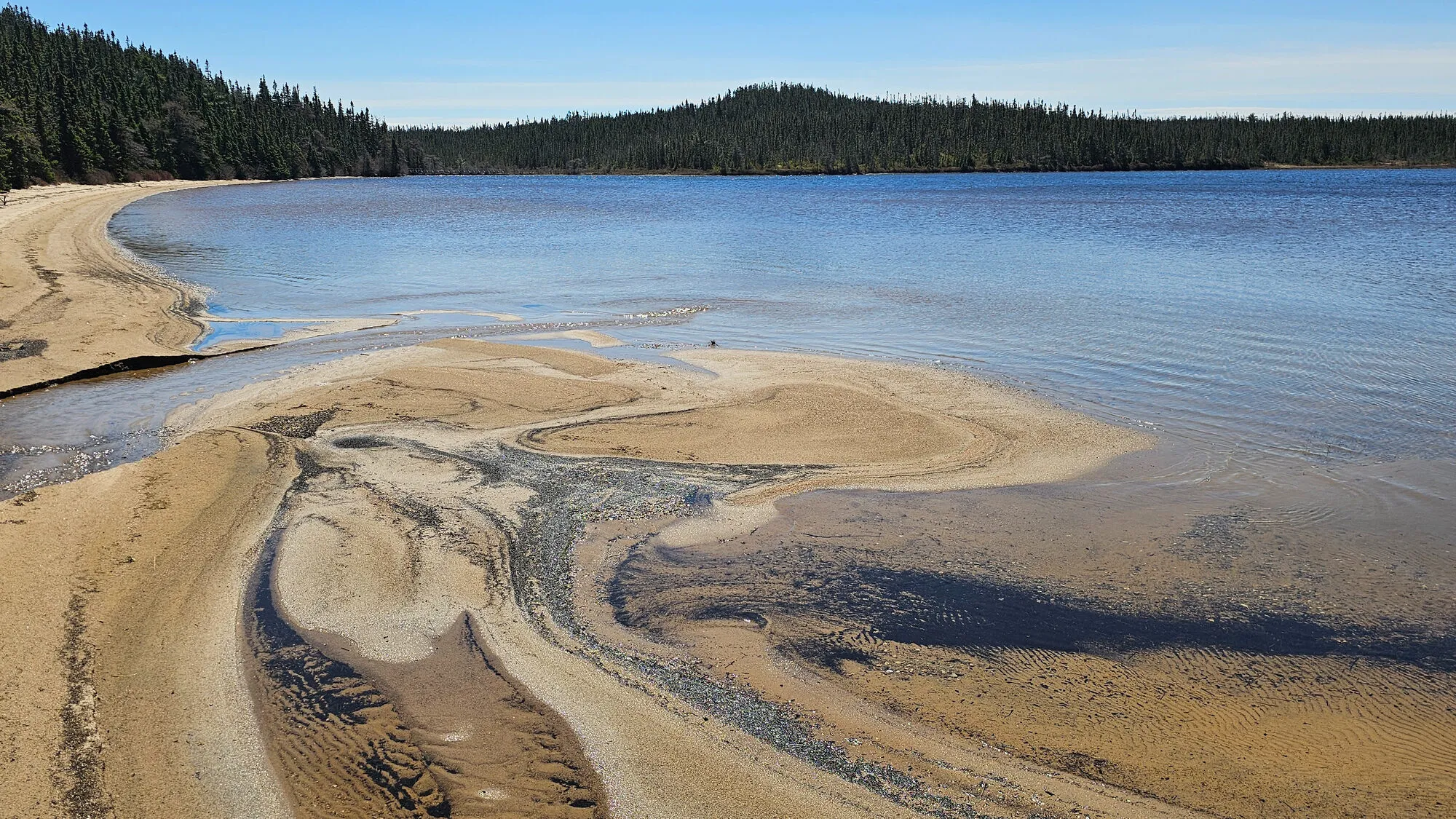 Sandy Pond TrailTrail · 3 km loop88 km from Gander (YQX)88 km from Gander (YQX)Not measured from here yetNot measured from here yetNot measured from here yetNot measured from here yet
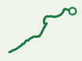 Peter's River Hiking TrailTrail · 5 km walk90 km from Gander (YQX)90 km from Gander (YQX)Not measured from here yetNot measured from here yetNot measured from here yetNot measured from here yet
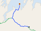 Comfort Cove-Newstead91 km from Gander (YQX)91 km from Gander (YQX)303 km from Deer Lake (YDF) · 91 km from Gander (YQX)422 km from St. John's (YYT) · 91 km from Gander (YQX)570 km from Port aux Basques (ferry), after 7h at sea · 91 km from Gander (YQX)378 km from Argentia (ferry), after 16.5h at sea (seasonal) · 91 km from Gander (YQX)
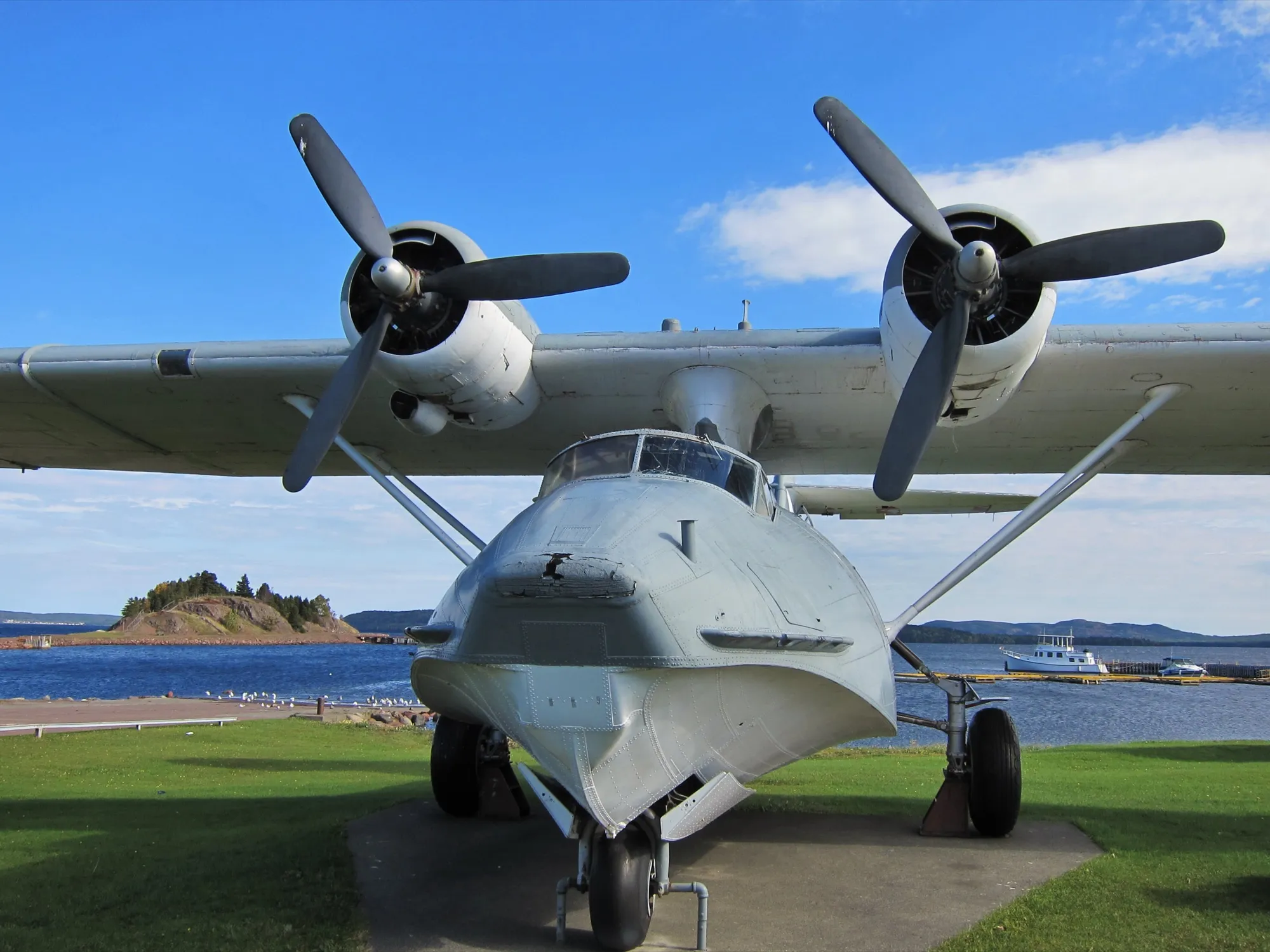 Botwood92 km from Gander (YQX)92 km from Gander (YQX)242 km from Deer Lake (YDF) · 92 km from Gander (YQX)424 km from St. John's (YYT) · 92 km from Gander (YQX)509 km from Port aux Basques (ferry), after 7h at sea · 92 km from Gander (YQX)379 km from Argentia (ferry), after 16.5h at sea (seasonal) · 92 km from Gander (YQX)
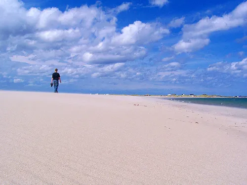 Musgrave Harbour (Straight Shore)93 km from Gander (YQX)93 km from Gander (YQX)395 km from Deer Lake (YDF) · 93 km from Gander (YQX)426 km from St. John's (YYT) · 93 km from Gander (YQX)661 km from Port aux Basques (ferry), after 7h at sea · 93 km from Gander (YQX)382 km from Argentia (ferry), after 16.5h at sea (seasonal) · 93 km from Gander (YQX)
- Botwood94 km from Gander (YQX)94 km from Gander (YQX)244 km from Deer Lake (YDF) · 94 km from Gander (YQX)425 km from St. John's (YYT) · 94 km from Gander (YQX)511 km from Port aux Basques (ferry), after 7h at sea · 94 km from Gander (YQX)381 km from Argentia (ferry), after 16.5h at sea (seasonal) · 94 km from Gander (YQX)
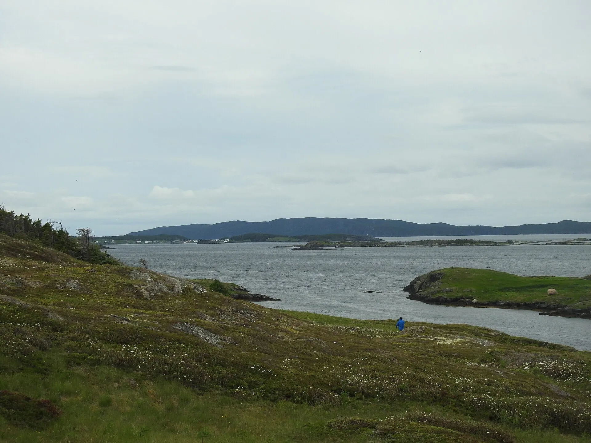 St. Brendan's94 km from Gander (YQX), then a ferry94 km from Gander (YQX), then a ferry397 km from Deer Lake (YDF), then a ferry · 94 km from Gander (YQX)293 km from St. John's (YYT), then a ferry · 94 km from Gander (YQX)664 km from Port aux Basques (ferry), after 7h at sea, then a ferry · 94 km from Gander (YQX)248 km from Argentia (ferry), after 16.5h at sea (seasonal), then a ferry · 94 km from Gander (YQX)
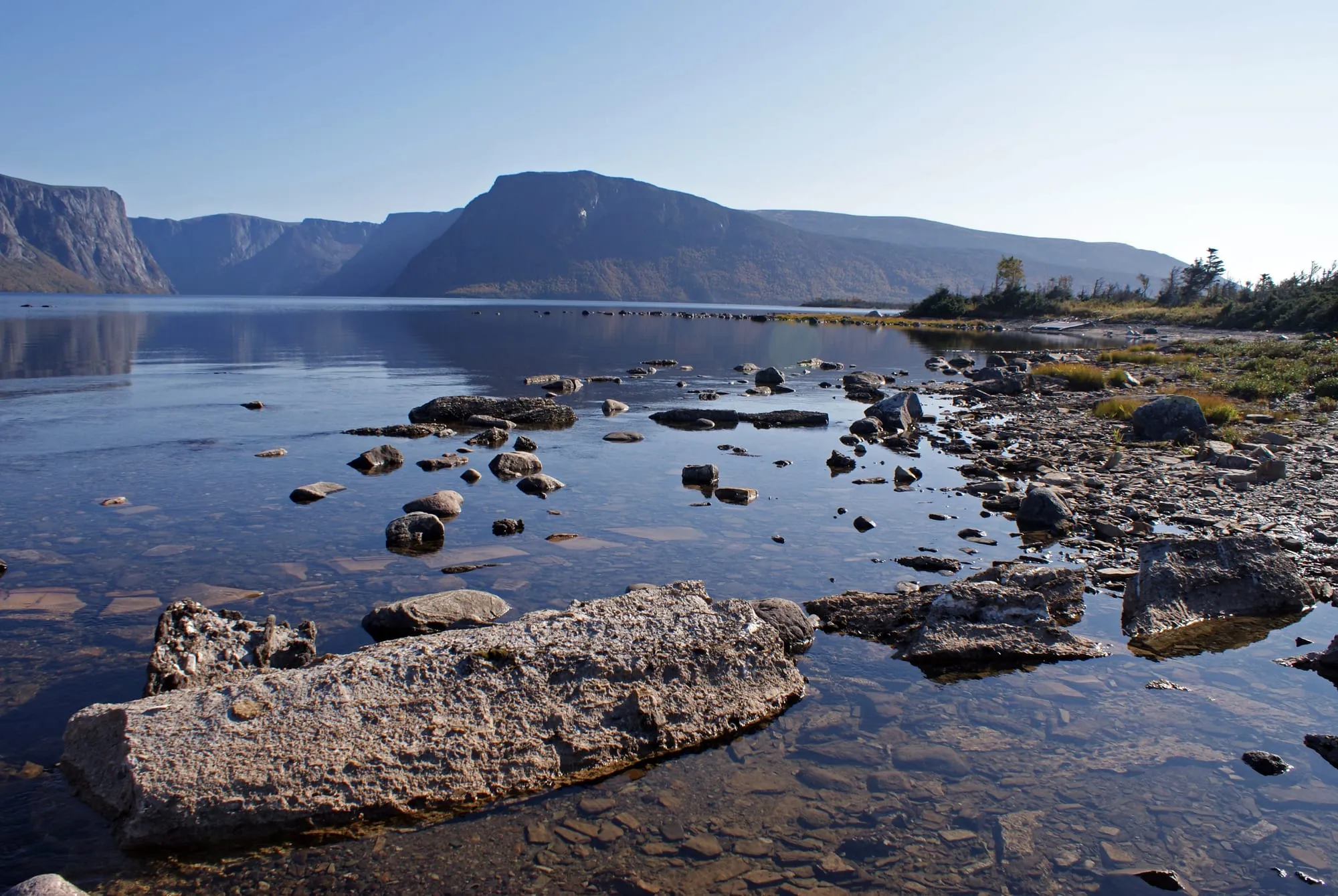 Western Brook Pond TrailTrail · 5.4 km out and back97 km from Deer Lake (YDF)Not measured from here yet97 km from Deer Lake (YDF)Not measured from here yetNot measured from here yetNot measured from here yet
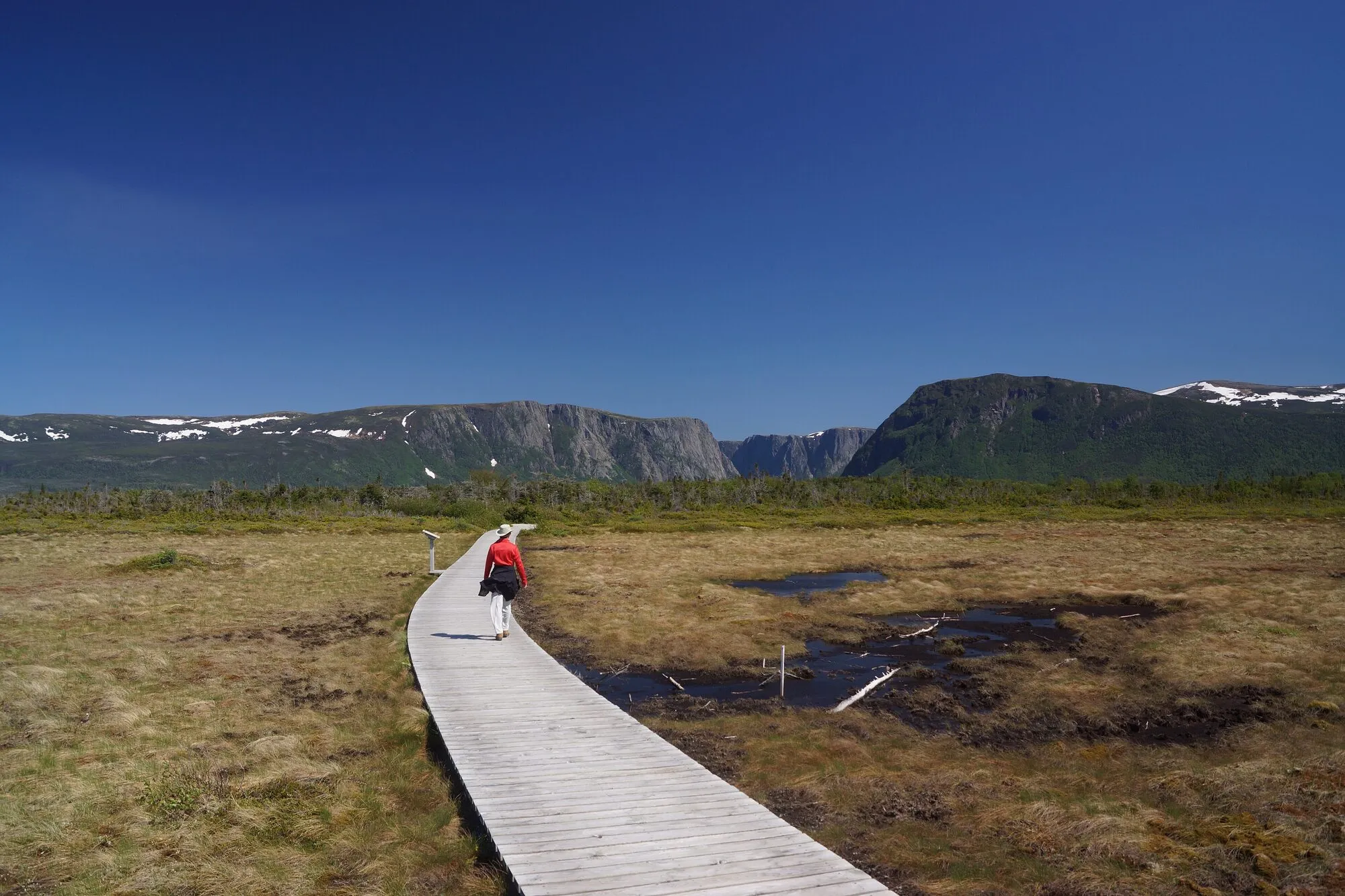 The Western Brook Pond Rim TrailTrail · 24.2 km walk97 km from Deer Lake (YDF)Not measured from here yet97 km from Deer Lake (YDF)Not measured from here yetNot measured from here yetNot measured from here yet
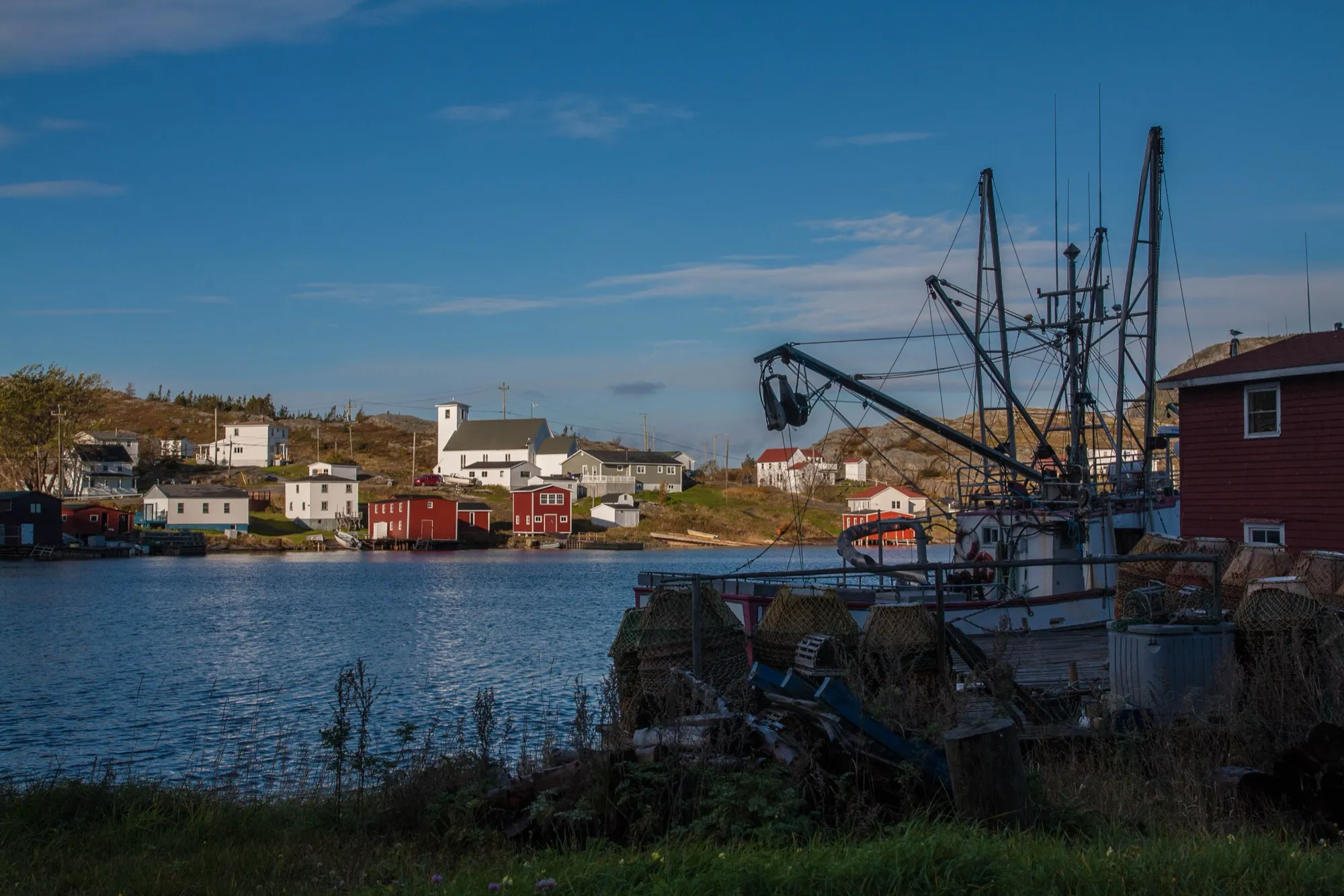 Salvage (Eastport peninsula)97 km from Gander (YQX)97 km from Gander (YQX)400 km from Deer Lake (YDF) · 97 km from Gander (YQX)296 km from St. John's (YYT) · 97 km from Gander (YQX)667 km from Port aux Basques (ferry), after 7h at sea · 97 km from Gander (YQX)252 km from Argentia (ferry), after 16.5h at sea (seasonal) · 97 km from Gander (YQX)
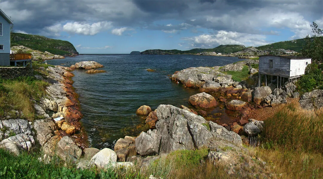 The Coastal Ridge Trail (Salvage)Trail · 13.1 km point to point, one way98 km from Gander (YQX)98 km from Gander (YQX)Not measured from here yetNot measured from here yetNot measured from here yetNot measured from here yet
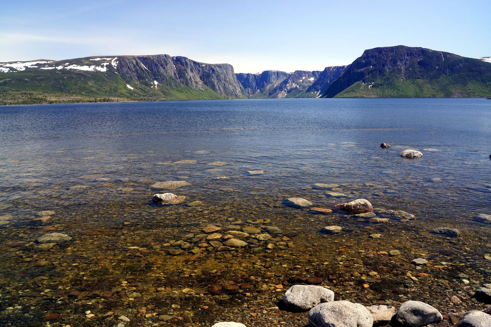 The Snug Harbour TrailTrail · 14.4 km out and back98 km from Deer Lake (YDF)Not measured from here yet98 km from Deer Lake (YDF)Not measured from here yetNot measured from here yetNot measured from here yet
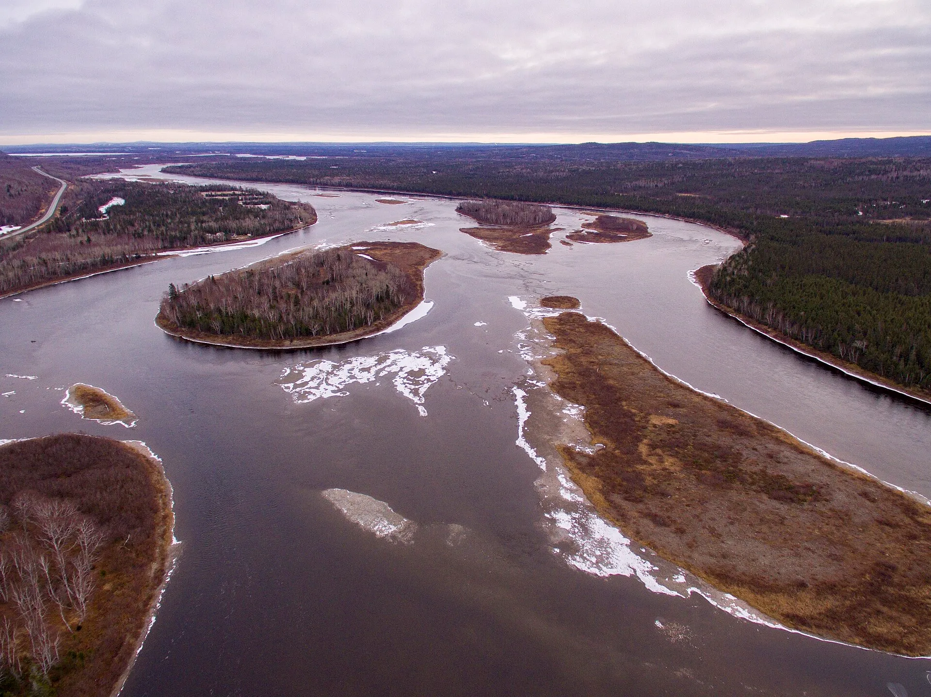 Grand Falls-Windsor98 km from Gander (YQX)98 km from Gander (YQX)211 km from Deer Lake (YDF) · 98 km from Gander (YQX)430 km from St. John's (YYT) · 98 km from Gander (YQX)478 km from Port aux Basques (ferry), after 7h at sea · 98 km from Gander (YQX)386 km from Argentia (ferry), after 16.5h at sea (seasonal) · 98 km from Gander (YQX)
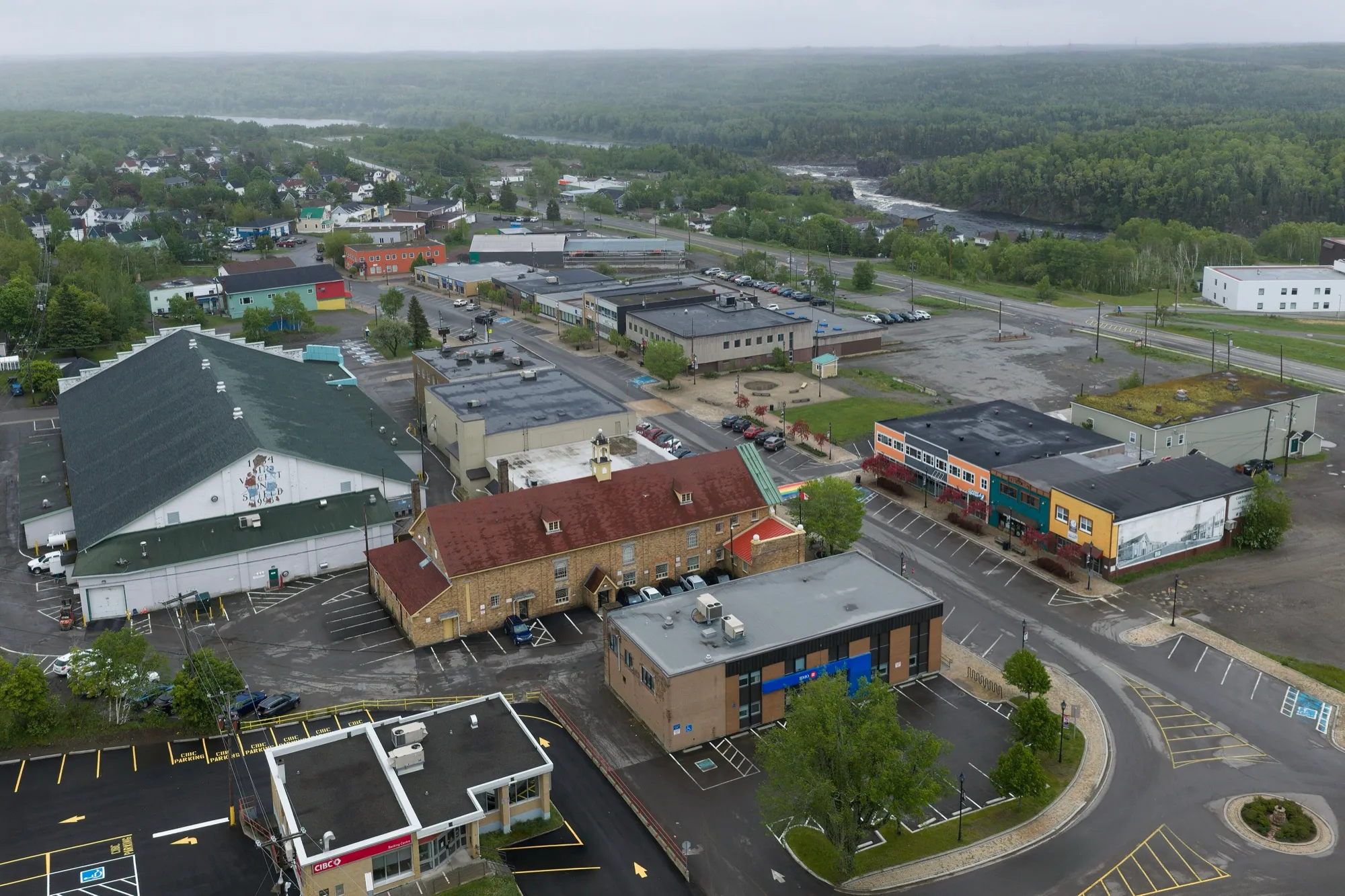 Grand Falls-Windsor99 km from Gander (YQX)99 km from Gander (YQX)213 km from Deer Lake (YDF) · 99 km from Gander (YQX)431 km from St. John's (YYT) · 99 km from Gander (YQX)479 km from Port aux Basques (ferry), after 7h at sea · 99 km from Gander (YQX)386 km from Argentia (ferry), after 16.5h at sea (seasonal) · 99 km from Gander (YQX)
 Indian Lookout TrailTrail · 2 km walk100 km from Gander (YQX)100 km from Gander (YQX)Not measured from here yetNot measured from here yetNot measured from here yetNot measured from here yet
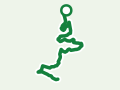 Shoreline TrailTrail · 11.6 km walk102 km from Gander (YQX)102 km from Gander (YQX)Not measured from here yetNot measured from here yetNot measured from here yetNot measured from here yet
 Dunphy's Pond TrailTrail · 9.8 km out and back103 km from Gander (YQX)103 km from Gander (YQX)Not measured from here yetNot measured from here yetNot measured from here yetNot measured from here yet
 Steve's TrailTrail · 1 km out and back104 km from Deer Lake (YDF)Not measured from here yet104 km from Deer Lake (YDF)Not measured from here yetNot measured from here yetNot measured from here yet
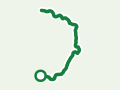 Bear Cove Point PathTrail · 11.9 km point to point, one way105 km from St. John's (YYT)Not measured from here yetNot measured from here yet105 km from St. John's (YYT)Not measured from here yetNot measured from here yet
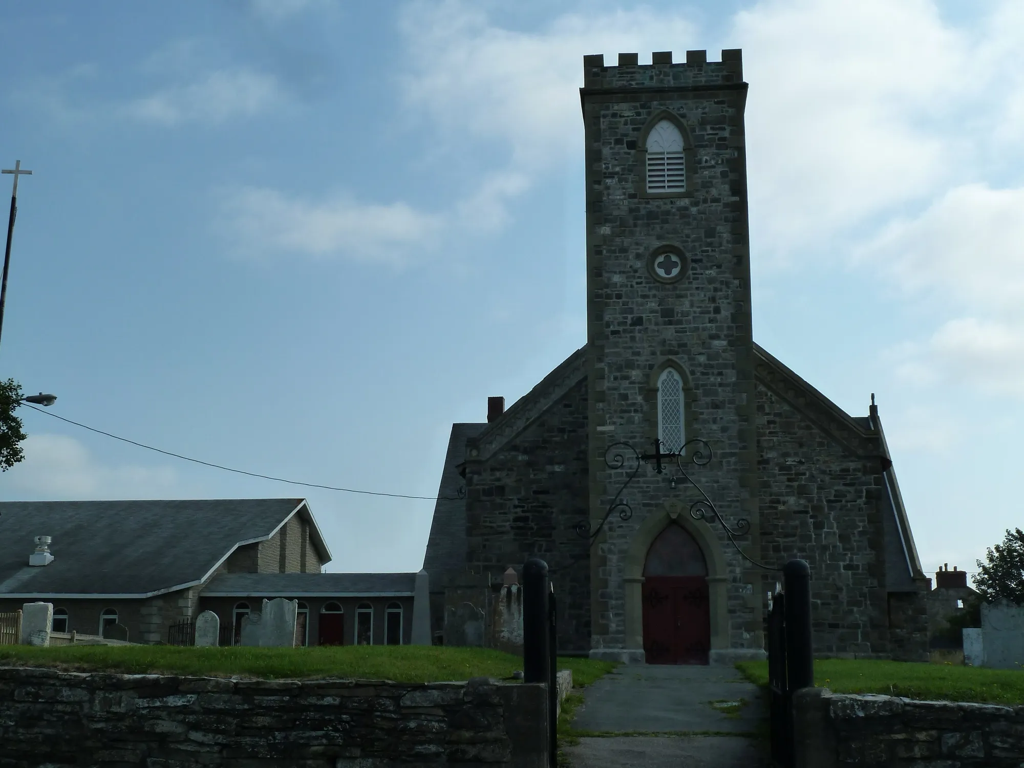 Harbour Grace108 km from St. John's (YYT)298 km from Gander (YQX) · 108 km from St. John's (YYT)601 km from Deer Lake (YDF) · 108 km from St. John's (YYT)108 km from St. John's (YYT)868 km from Port aux Basques (ferry), after 7h at sea · 108 km from St. John's (YYT)96 km from Argentia (ferry), after 16.5h at sea (seasonal)
 Purcell's Harbour to Little Harbour TrailTrail · 4.6 km walk108 km from Gander (YQX)108 km from Gander (YQX)Not measured from here yetNot measured from here yetNot measured from here yetNot measured from here yet
 Black Rock Trail (Twillingate)Trail · 1.1 km loop110 km from Gander (YQX)110 km from Gander (YQX)Not measured from here yetNot measured from here yetNot measured from here yetNot measured from here yet
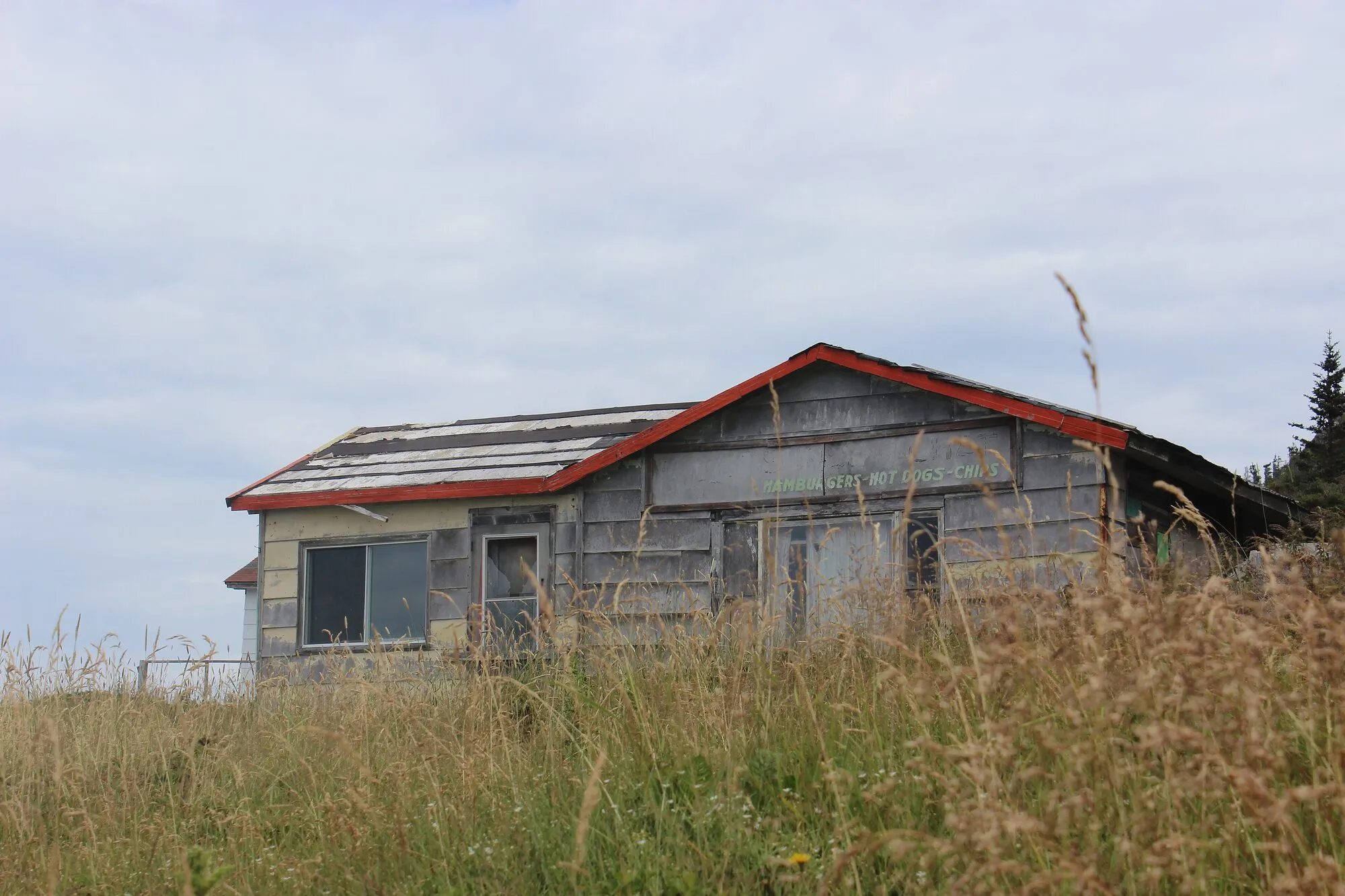 Lower Little Harbour TrailTrail · 2.4 km loop110 km from Gander (YQX)110 km from Gander (YQX)Not measured from here yetNot measured from here yetNot measured from here yetNot measured from here yet
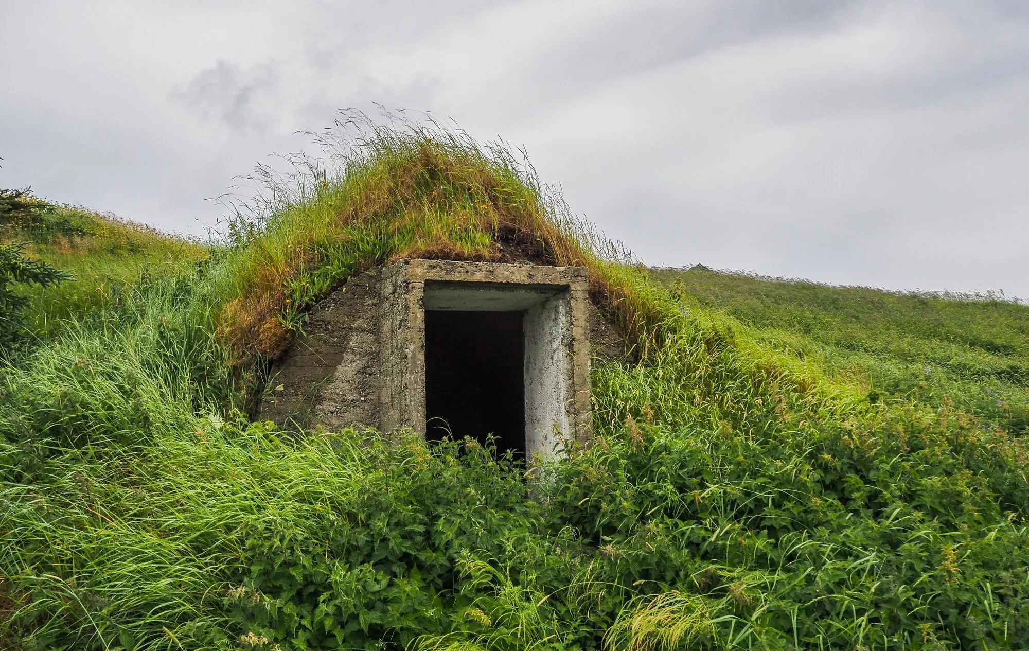 Minty's Farm TrailTrail · 4.6 km walk112 km from Gander (YQX)112 km from Gander (YQX)Not measured from here yetNot measured from here yetNot measured from here yetNot measured from here yet
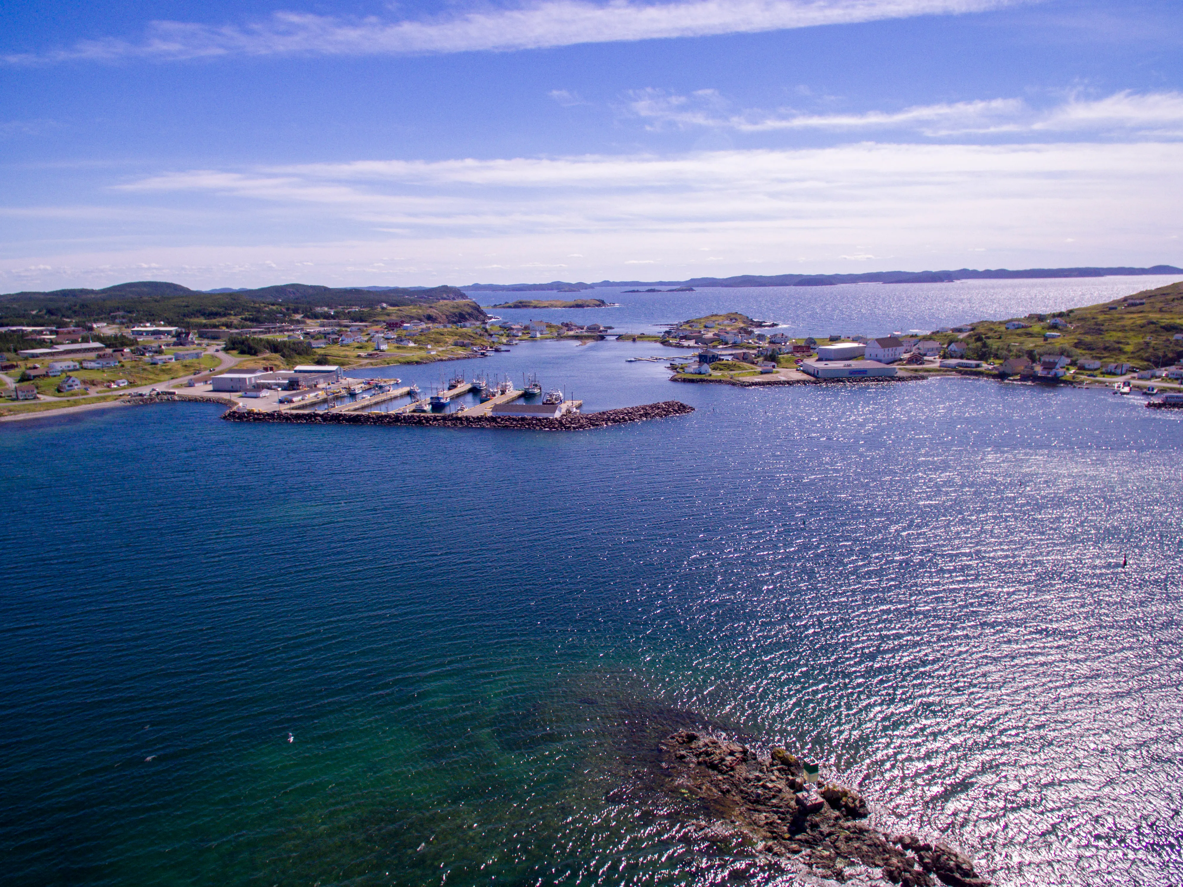 Twillingate114 km from Gander (YQX)114 km from Gander (YQX)360 km from Deer Lake (YDF) · 114 km from Gander (YQX)447 km from St. John's (YYT) · 114 km from Gander (YQX)627 km from Port aux Basques (ferry), after 7h at sea · 114 km from Gander (YQX)402 km from Argentia (ferry), after 16.5h at sea (seasonal) · 114 km from Gander (YQX)
- TwillingateFilming spot · Below, Twillingate114 km from Gander (YQX)114 km from Gander (YQX)361 km from Deer Lake (YDF) · 114 km from Gander (YQX)447 km from St. John's (YYT) · 114 km from Gander (YQX)627 km from Port aux Basques (ferry), after 7h at sea · 114 km from Gander (YQX)402 km from Argentia (ferry), after 16.5h at sea (seasonal) · 114 km from Gander (YQX)
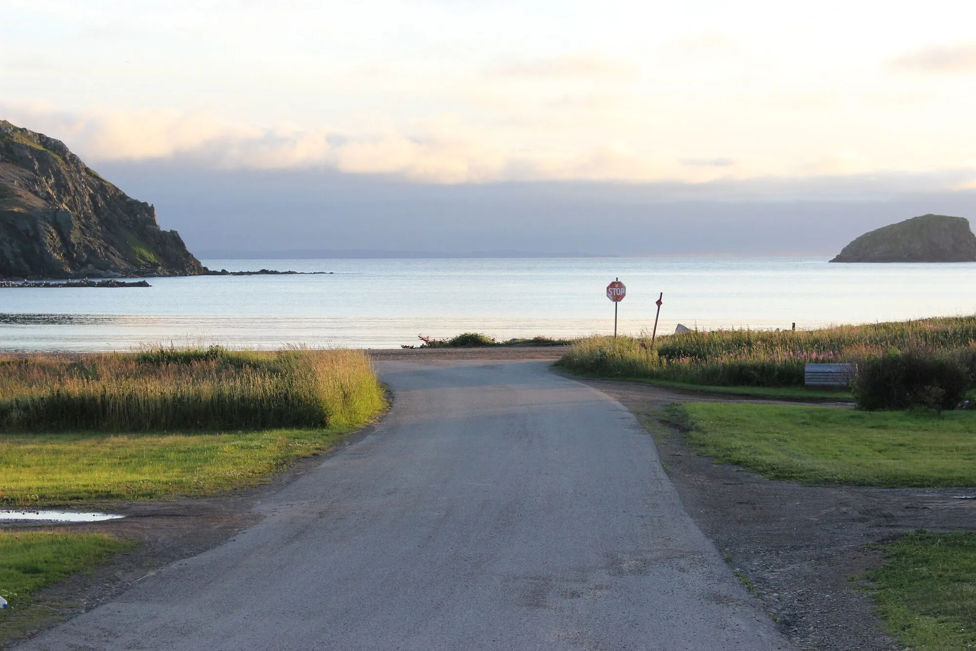 Back Bay TrailTrail · 3.6 km out and back117 km from Gander (YQX)117 km from Gander (YQX)Not measured from here yetNot measured from here yetNot measured from here yetNot measured from here yet
 Wild Cove Path (Fogo)Trail · 6.4 km walk117 km from Gander (YQX)117 km from Gander (YQX)Not measured from here yetNot measured from here yetNot measured from here yetNot measured from here yet
 Codjacks Cove TrailTrail · 3.2 km walk118 km from Gander (YQX)118 km from Gander (YQX)Not measured from here yetNot measured from here yetNot measured from here yetNot measured from here yet
 New-Wes-Valley (Barbour coast)119 km from Gander (YQX)119 km from Gander (YQX)422 km from Deer Lake (YDF) · 119 km from Gander (YQX)369 km from St. John's (YYT) · 119 km from Gander (YQX)688 km from Port aux Basques (ferry), after 7h at sea · 119 km from Gander (YQX)325 km from Argentia (ferry), after 16.5h at sea (seasonal) · 119 km from Gander (YQX)
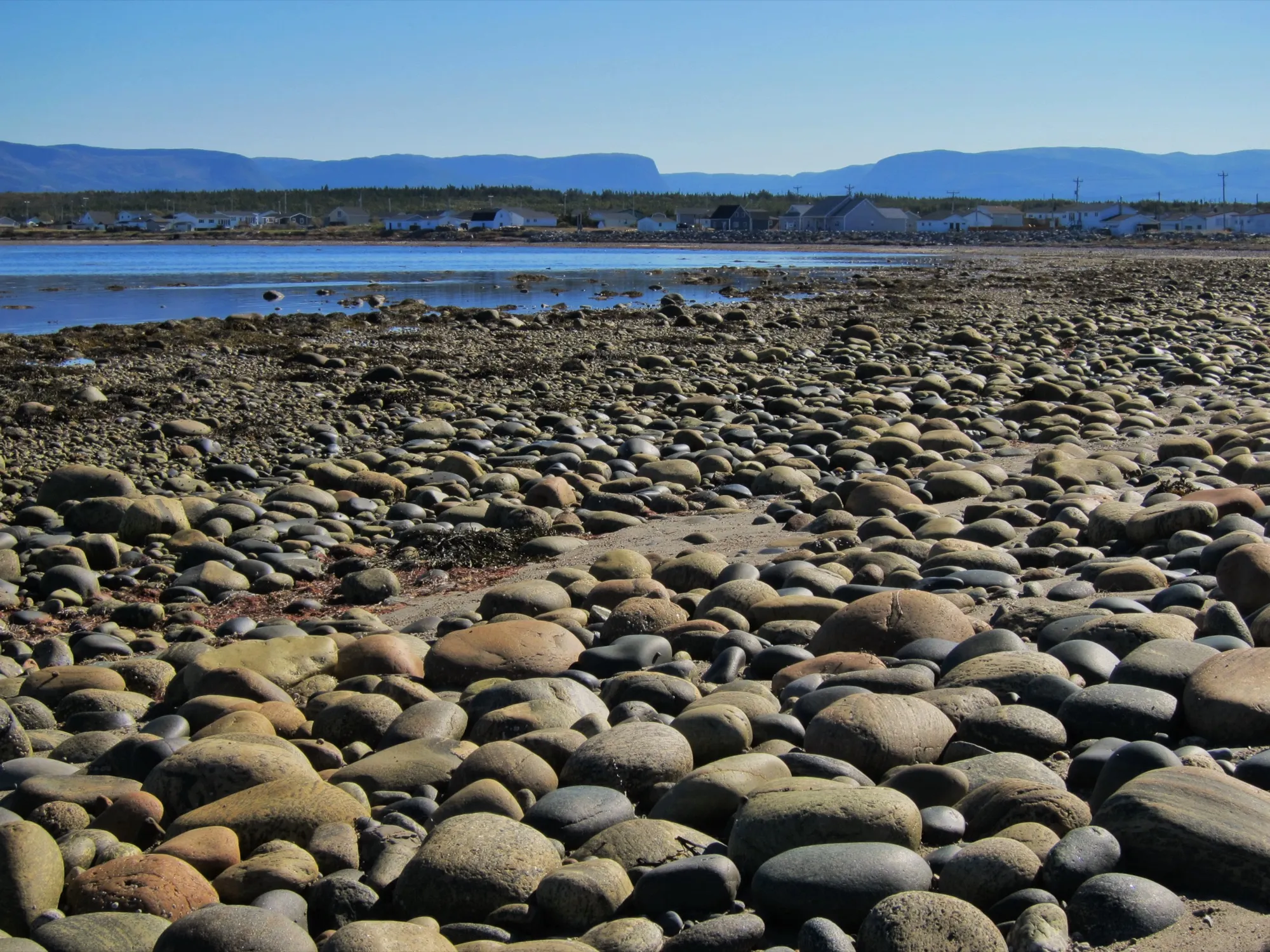 Cow Head (northern Gros Morne)119 km from Deer Lake (YDF)422 km from Gander (YQX) · 119 km from Deer Lake (YDF)119 km from Deer Lake (YDF)753 km from St. John's (YYT) · 119 km from Deer Lake (YDF)383 km from Port aux Basques (ferry), after 7h at sea · 119 km from Deer Lake (YDF)709 km from Argentia (ferry), after 16.5h at sea (seasonal) · 119 km from Deer Lake (YDF)
 Old Mail RoadTrail · 2.4 km out and back119 km from Deer Lake (YDF)Not measured from here yet119 km from Deer Lake (YDF)Not measured from here yetNot measured from here yetNot measured from here yet
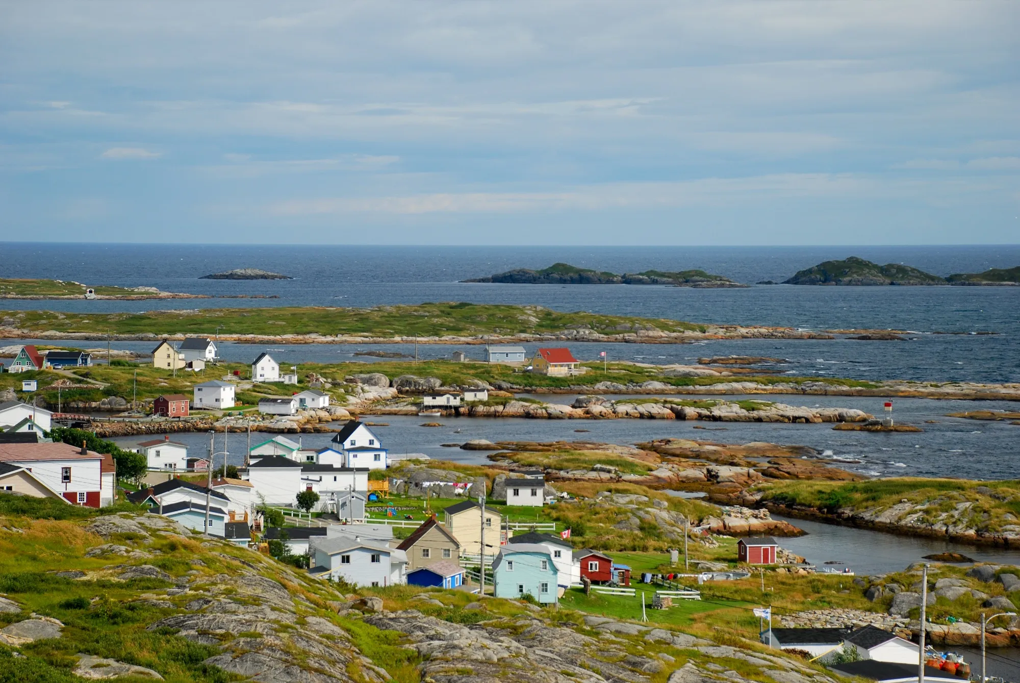 Greenspond124 km from Gander (YQX)124 km from Gander (YQX)428 km from Deer Lake (YDF) · 124 km from Gander (YQX)375 km from St. John's (YYT) · 124 km from Gander (YQX)694 km from Port aux Basques (ferry), after 7h at sea · 124 km from Gander (YQX)331 km from Argentia (ferry), after 16.5h at sea (seasonal) · 124 km from Gander (YQX)
 Greenspond Island WalkTrail · 6 km loop125 km from Gander (YQX)125 km from Gander (YQX)Not measured from here yetNot measured from here yetNot measured from here yetNot measured from here yet
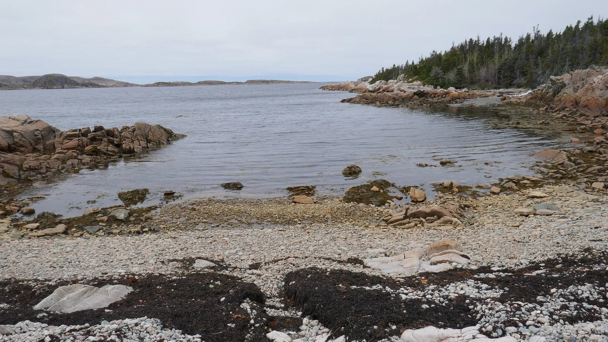 Waterman's Brook TrailTrail · 8 km out and back125 km from Gander (YQX)125 km from Gander (YQX)Not measured from here yetNot measured from here yetNot measured from here yetNot measured from here yet
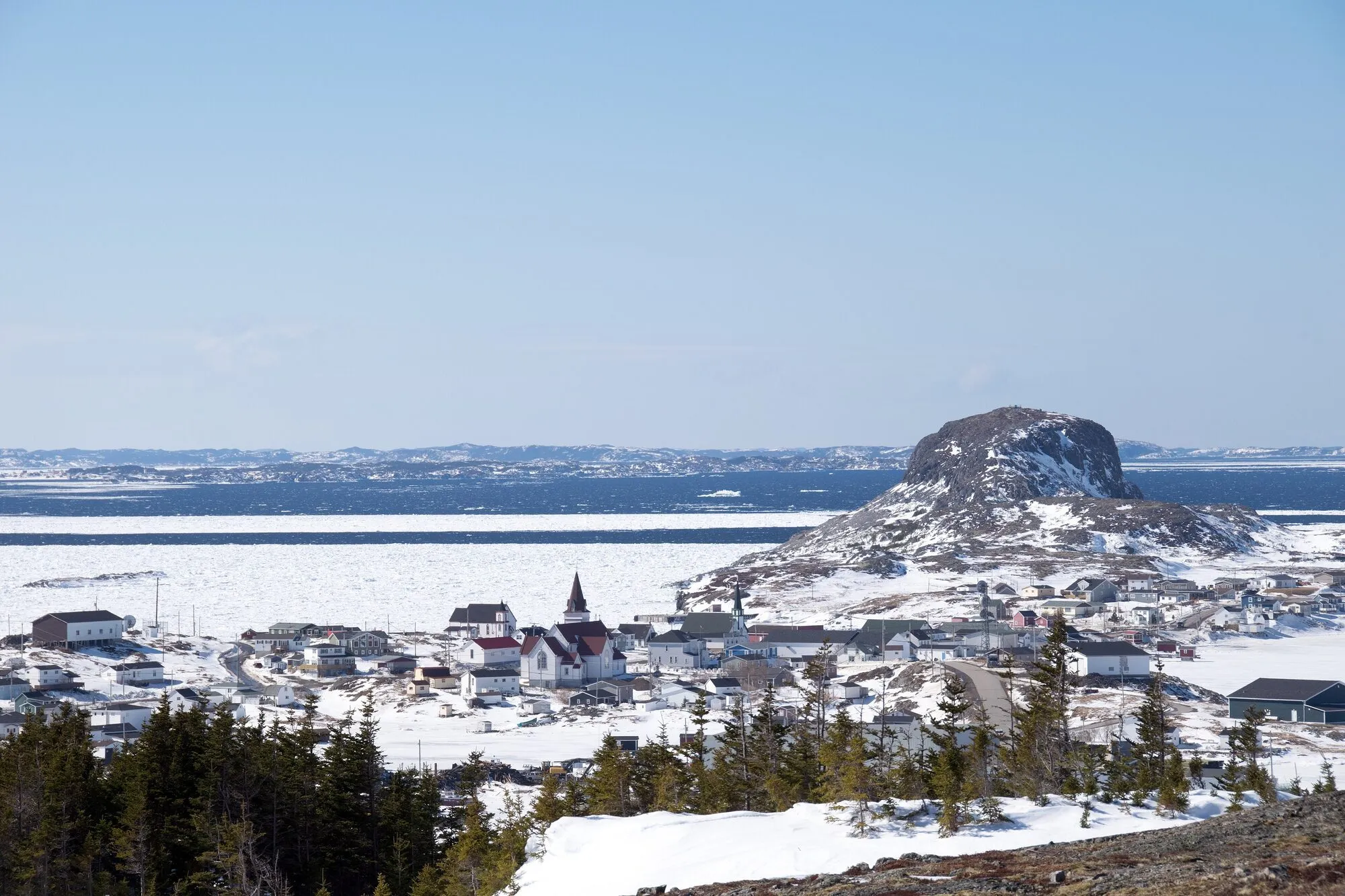 Lion's Den TrailTrail · 4.2 km loop126 km from Gander (YQX)126 km from Gander (YQX)Not measured from here yetNot measured from here yetNot measured from here yetNot measured from here yet
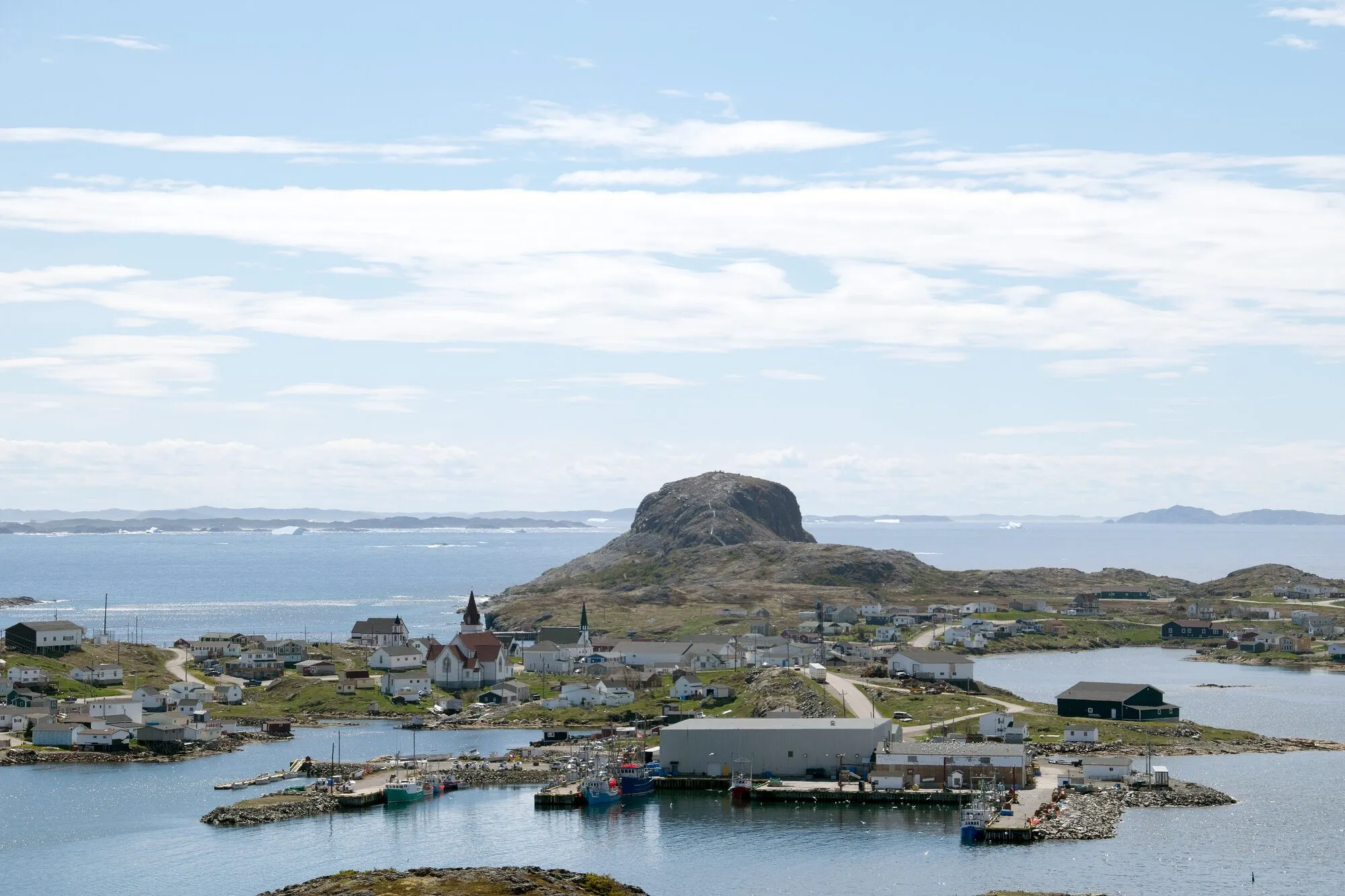 Fogo Head TrailTrail · 4.2 km walk128 km from Gander (YQX)128 km from Gander (YQX)Not measured from here yetNot measured from here yetNot measured from here yetNot measured from here yet
 The Alexander Murray TrailTrail · 6.2 km loop131 km from Deer Lake (YDF)Not measured from here yet131 km from Deer Lake (YDF)Not measured from here yetNot measured from here yetNot measured from here yet
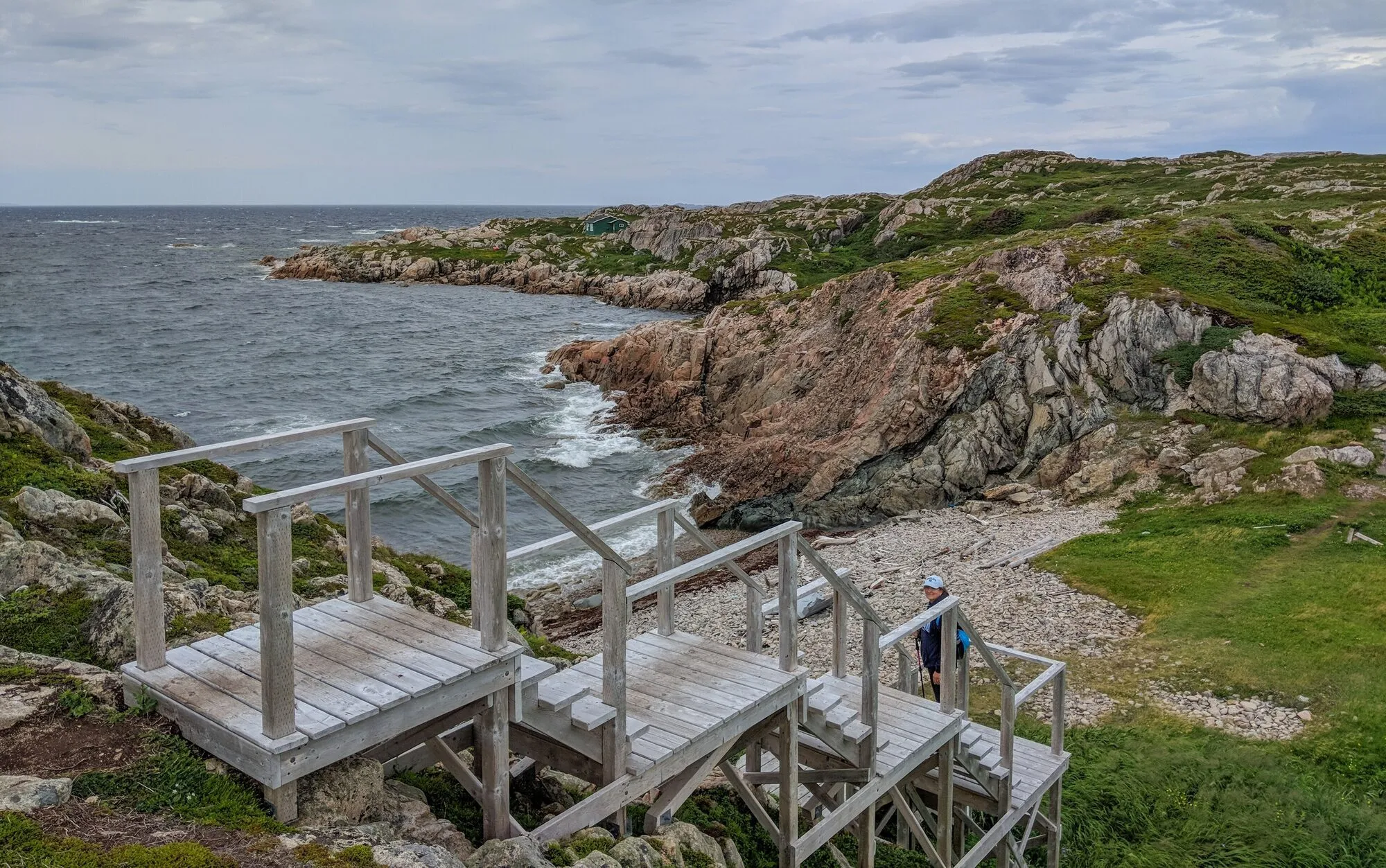 Joe Batt's Point TrailTrail · 4.6 km out and back131 km from Gander (YQX)131 km from Gander (YQX)Not measured from here yetNot measured from here yetNot measured from here yetNot measured from here yet
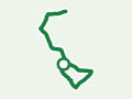 Newtown Boardwalk WalkTrail · 3.4 km walk131 km from Gander (YQX)131 km from Gander (YQX)Not measured from here yetNot measured from here yetNot measured from here yetNot measured from here yet
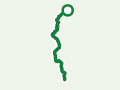 MAD Trail (Fogo)Trail · 5.2 km walk131 km from Gander (YQX)131 km from Gander (YQX)Not measured from here yetNot measured from here yetNot measured from here yetNot measured from here yet
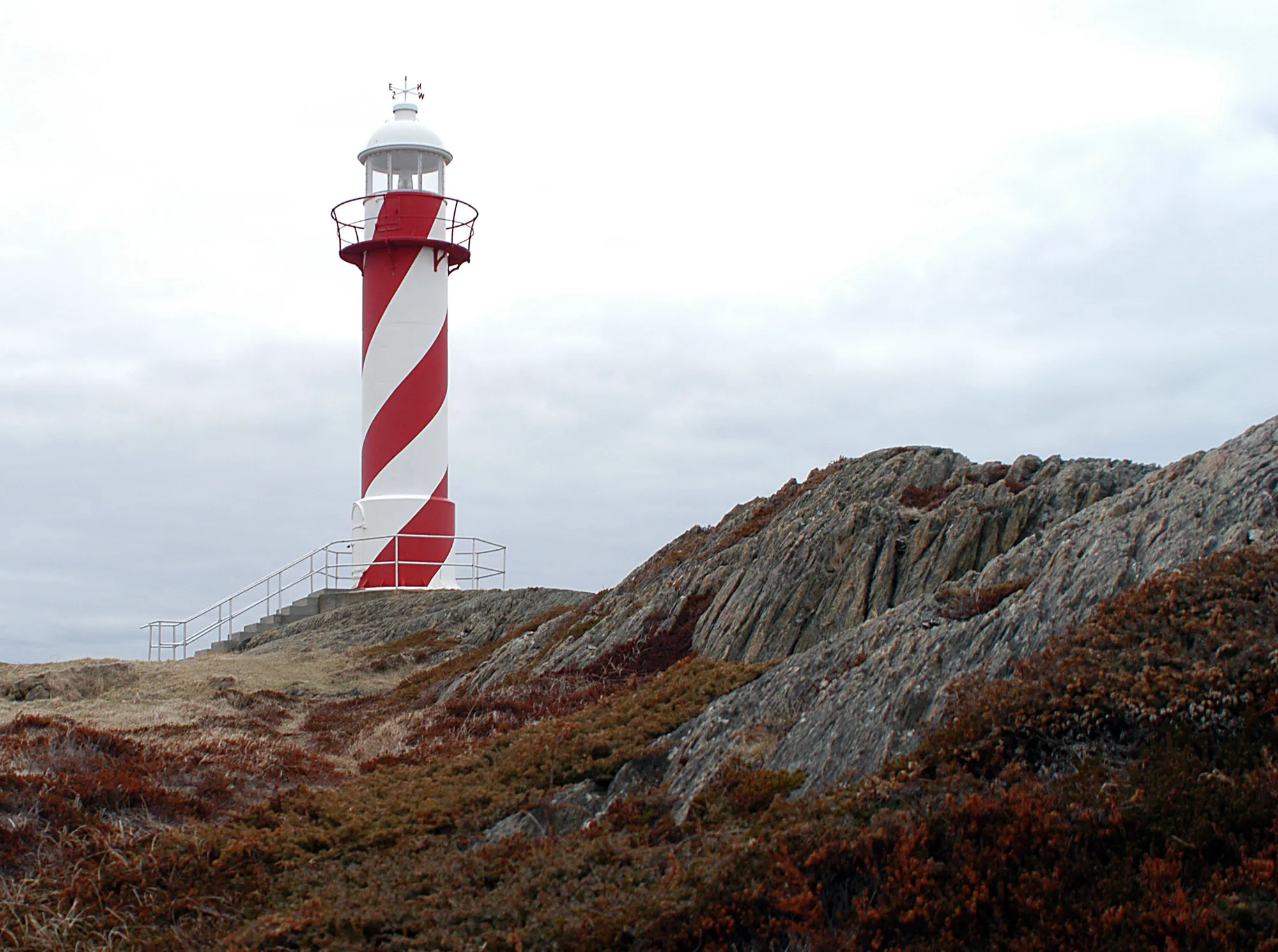 Heart's Content132 km from St. John's (YYT)308 km from Gander (YQX) · 132 km from St. John's (YYT)612 km from Deer Lake (YDF) · 132 km from St. John's (YYT)132 km from St. John's (YYT)878 km from Port aux Basques (ferry), after 7h at sea · 132 km from St. John's (YYT)107 km from Argentia (ferry), after 16.5h at sea (seasonal)
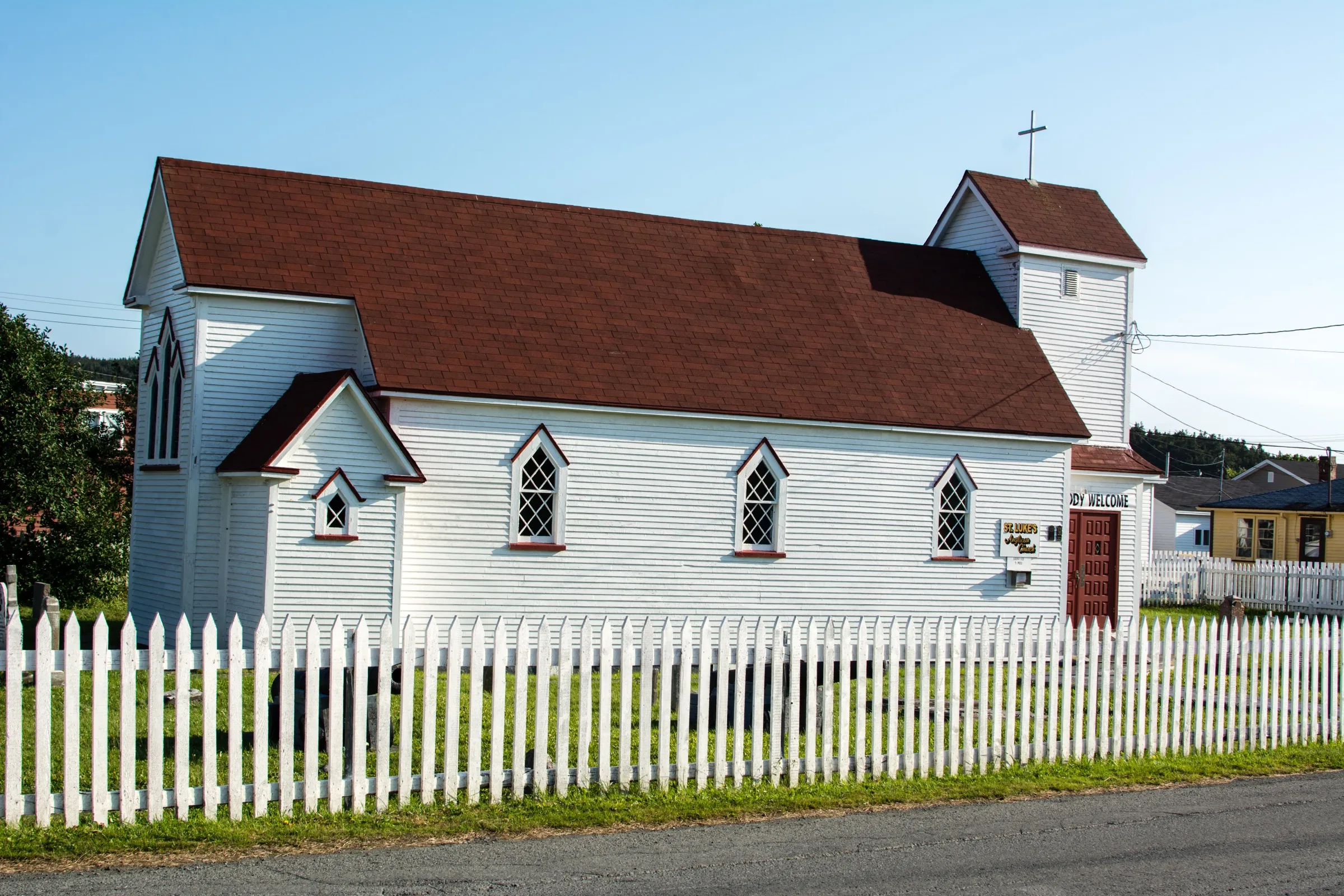 Placentia132 km from St. John's (YYT)290 km from Gander (YQX) · 132 km from St. John's (YYT)593 km from Deer Lake (YDF) · 132 km from St. John's (YYT)132 km from St. John's (YYT)860 km from Port aux Basques (ferry), after 7h at sea · 132 km from St. John's (YYT)7.4 km from Argentia (ferry), after 16.5h at sea (seasonal)
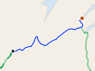 King's Point133 km from Deer Lake (YDF)207 km from Gander (YQX) · 133 km from Deer Lake (YDF)133 km from Deer Lake (YDF)539 km from St. John's (YYT) · 133 km from Deer Lake (YDF)399 km from Port aux Basques (ferry), after 7h at sea · 133 km from Deer Lake (YDF)494 km from Argentia (ferry), after 16.5h at sea (seasonal) · 133 km from Deer Lake (YDF)
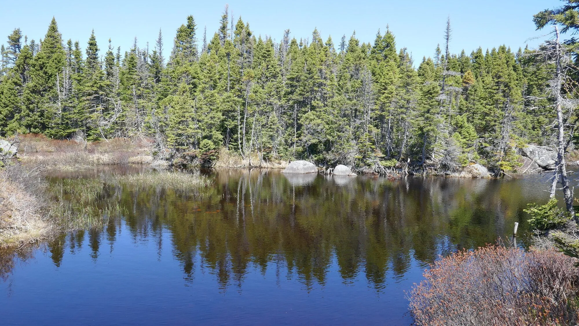 Turpin's Trail WestTrail · 5 km loop135 km from Gander (YQX)135 km from Gander (YQX)Not measured from here yetNot measured from here yetNot measured from here yetNot measured from here yet
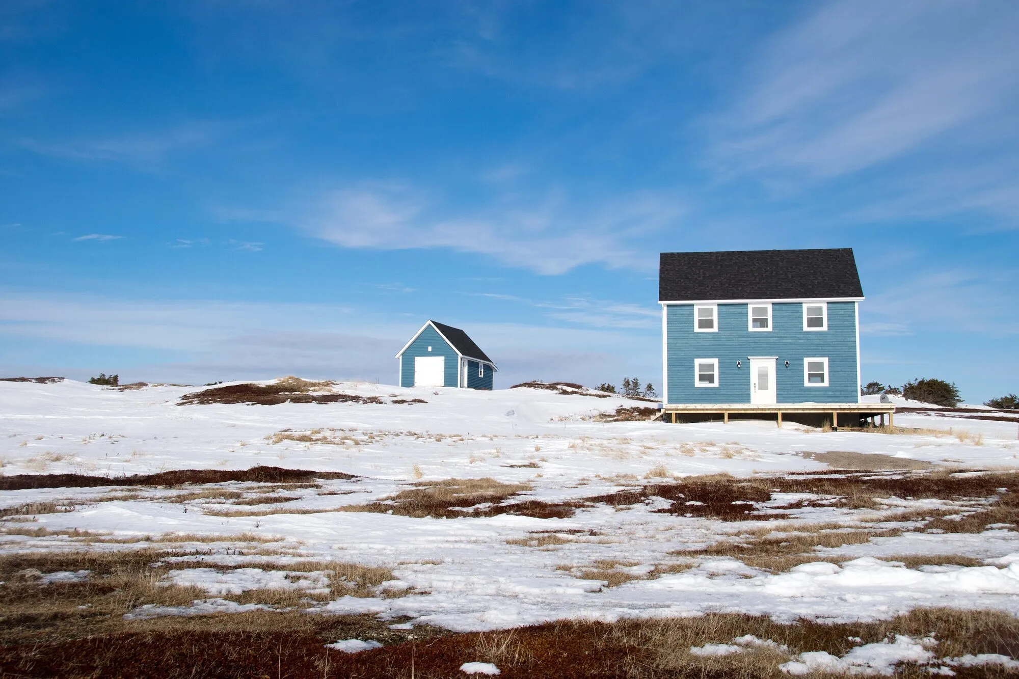 Oliver's Cove TrailTrail · 5.6 km walk137 km from Gander (YQX)137 km from Gander (YQX)Not measured from here yetNot measured from here yetNot measured from here yetNot measured from here yet
 Caribou TrailTrail · 5.2 km out and back139 km from Deer Lake (YDF)Not measured from here yet139 km from Deer Lake (YDF)Not measured from here yetNot measured from here yetNot measured from here yet
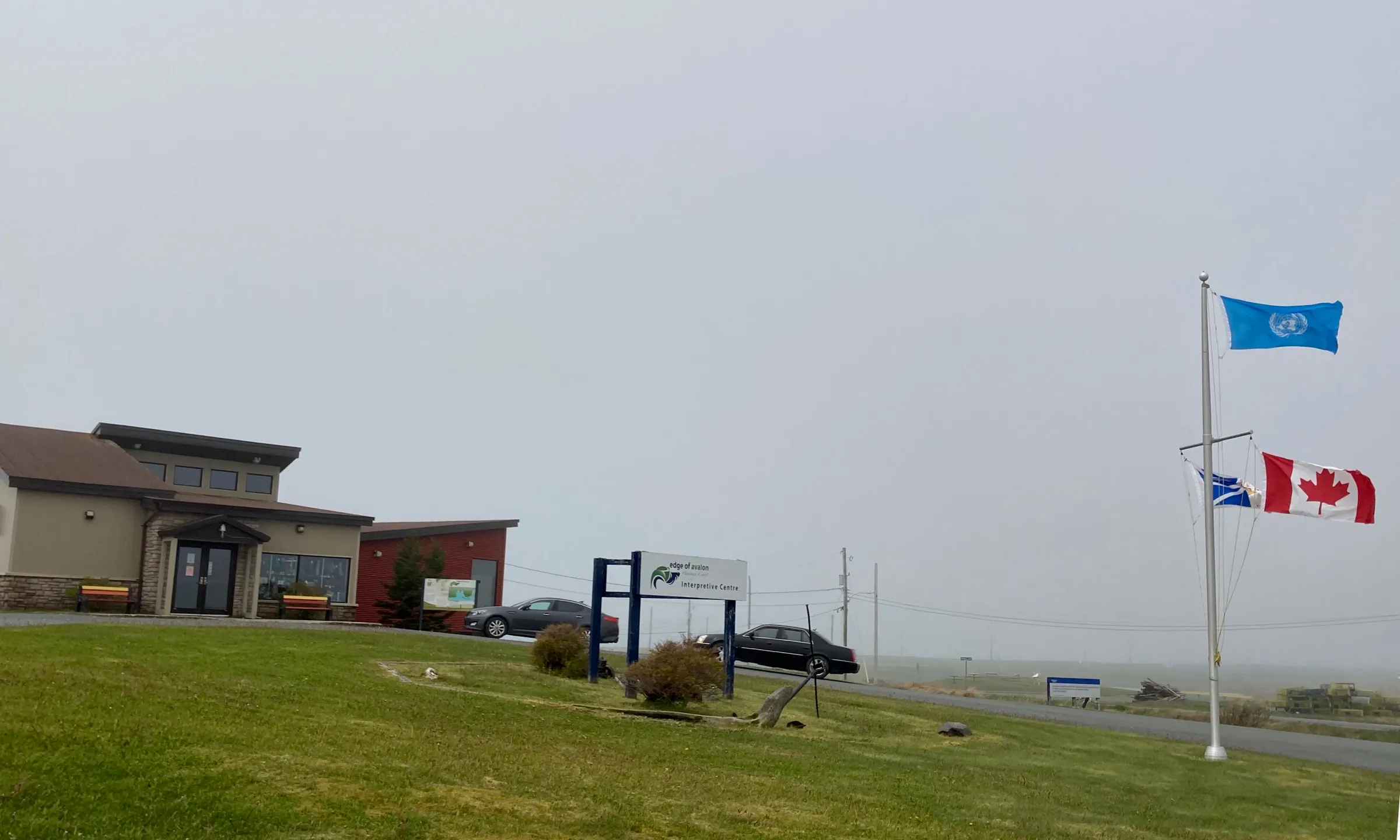 Mistaken Point Interpretation Centre144 km from St. John's (YYT)406 km from Gander (YQX) · 144 km from St. John's (YYT)709 km from Deer Lake (YDF) · 144 km from St. John's (YYT)144 km from St. John's (YYT)976 km from Port aux Basques (ferry), after 7h at sea · 144 km from St. John's (YYT)160 km from Argentia (ferry), after 16.5h at sea (seasonal) · 144 km from St. John's (YYT)
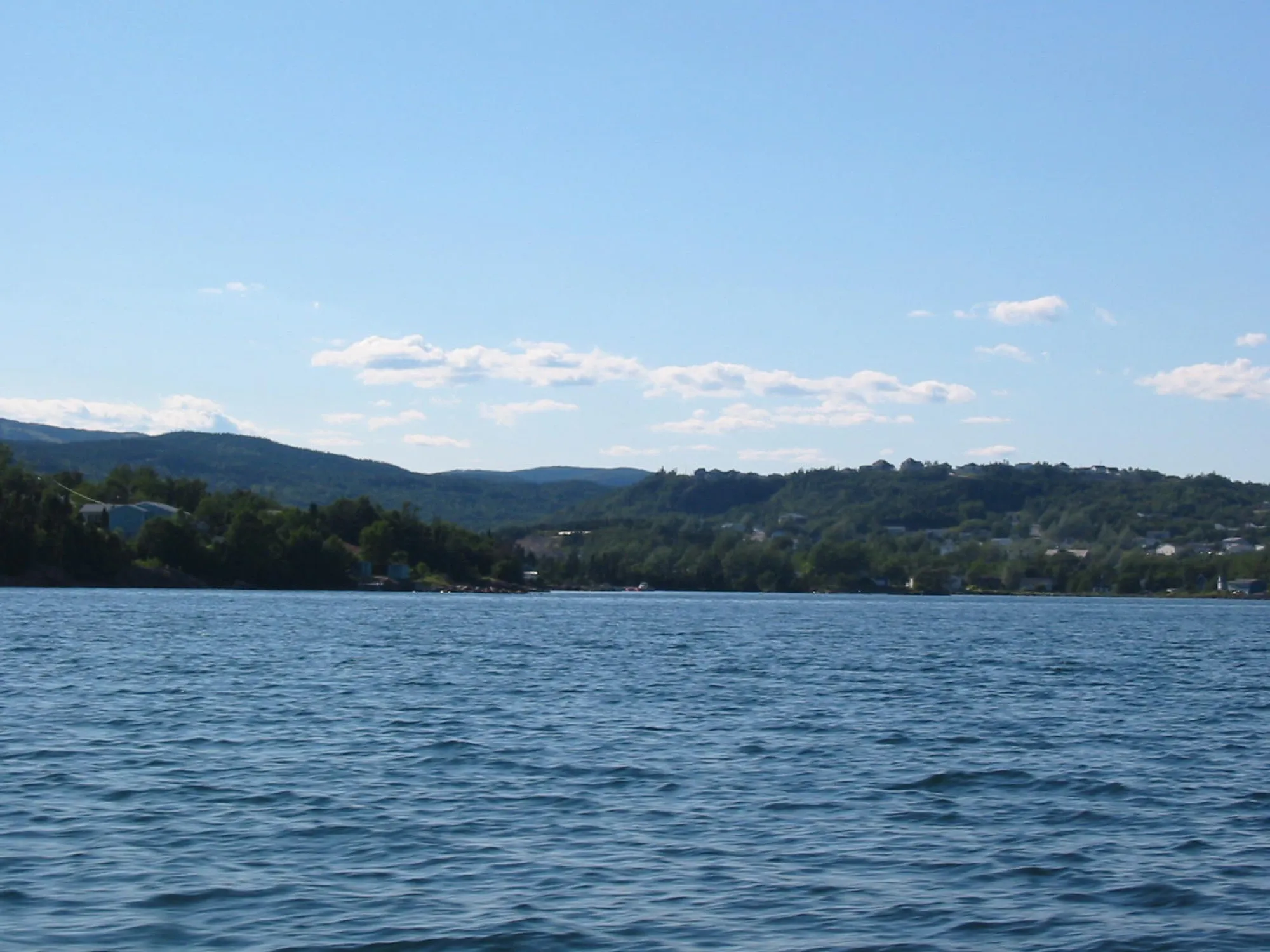 Clarenville147 km from Gander (YQX)147 km from Gander (YQX)450 km from Deer Lake (YDF) · 147 km from Gander (YQX)191 km from St. John's (YYT) · 147 km from Gander (YQX)717 km from Port aux Basques (ferry), after 7h at sea · 147 km from Gander (YQX)147 km from Argentia (ferry), after 16.5h at sea (seasonal)
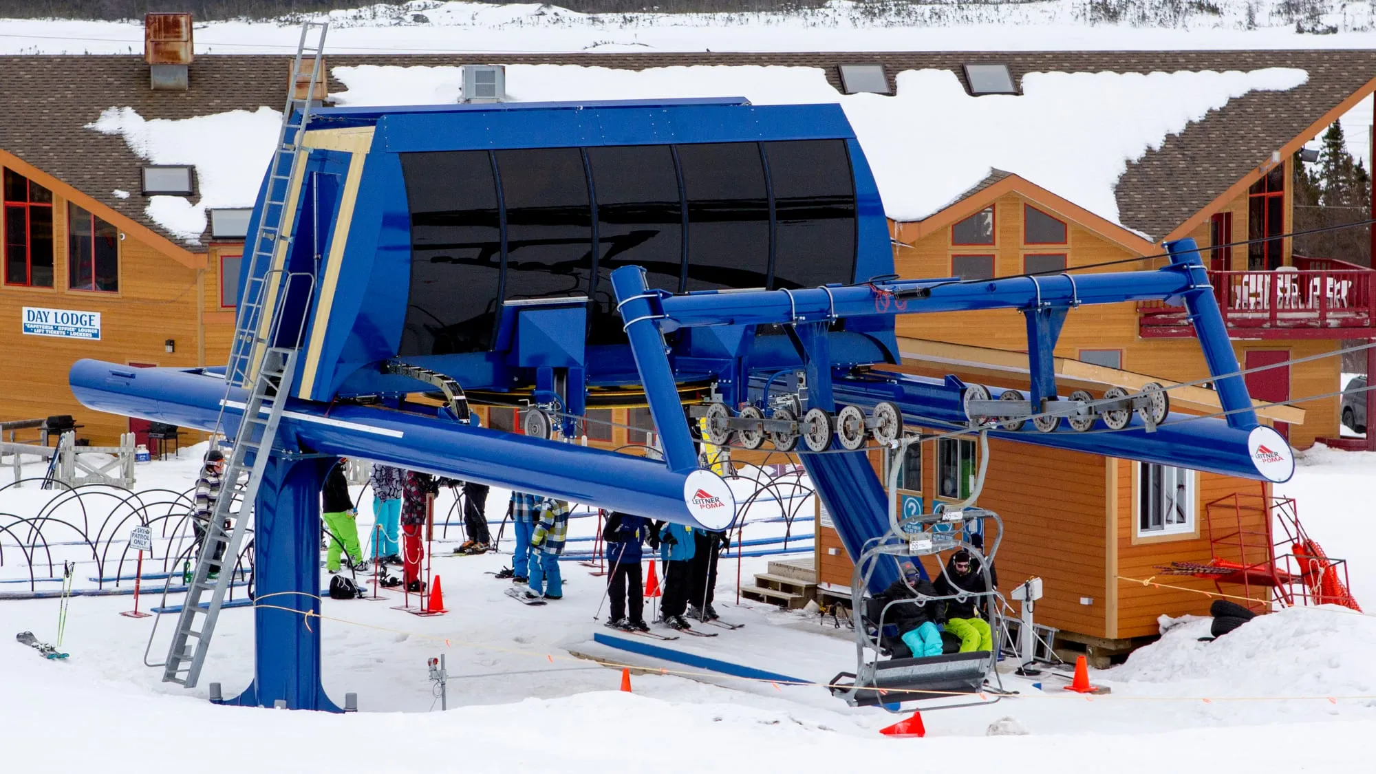 White Hills Resort148 km from Gander (YQX)148 km from Gander (YQX)451 km from Deer Lake (YDF) · 148 km from Gander (YQX)198 km from St. John's (YYT) · 148 km from Gander (YQX)718 km from Port aux Basques (ferry), after 7h at sea · 148 km from Gander (YQX)154 km from Argentia (ferry), after 16.5h at sea (seasonal) · 148 km from Gander (YQX)
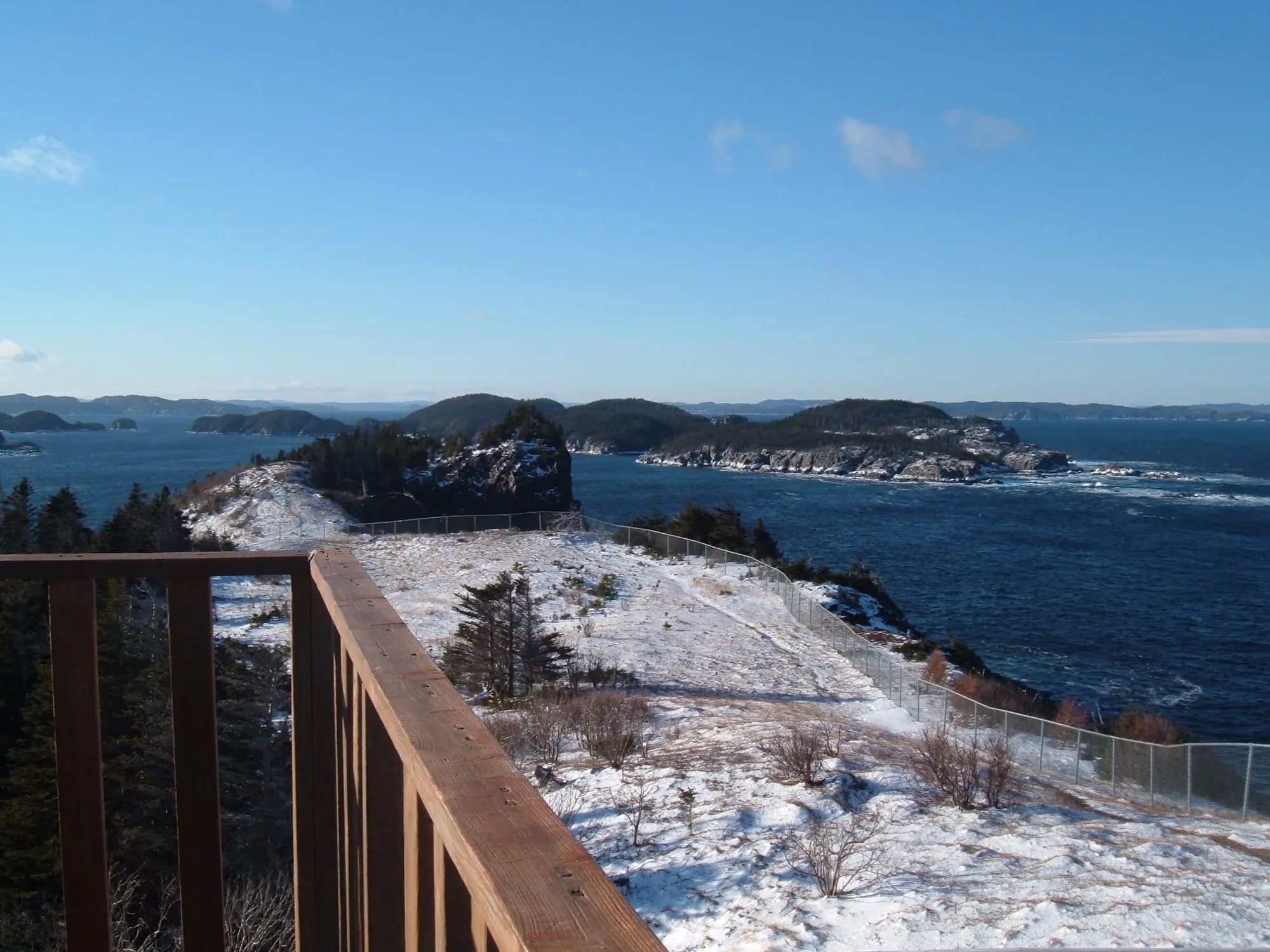 Leading Tickles (Bay of Exploits)148 km from Gander (YQX)148 km from Gander (YQX)299 km from Deer Lake (YDF) · 148 km from Gander (YQX)480 km from St. John's (YYT) · 148 km from Gander (YQX)565 km from Port aux Basques (ferry), after 7h at sea · 148 km from Gander (YQX)436 km from Argentia (ferry), after 16.5h at sea (seasonal) · 148 km from Gander (YQX)
150 to 300 km
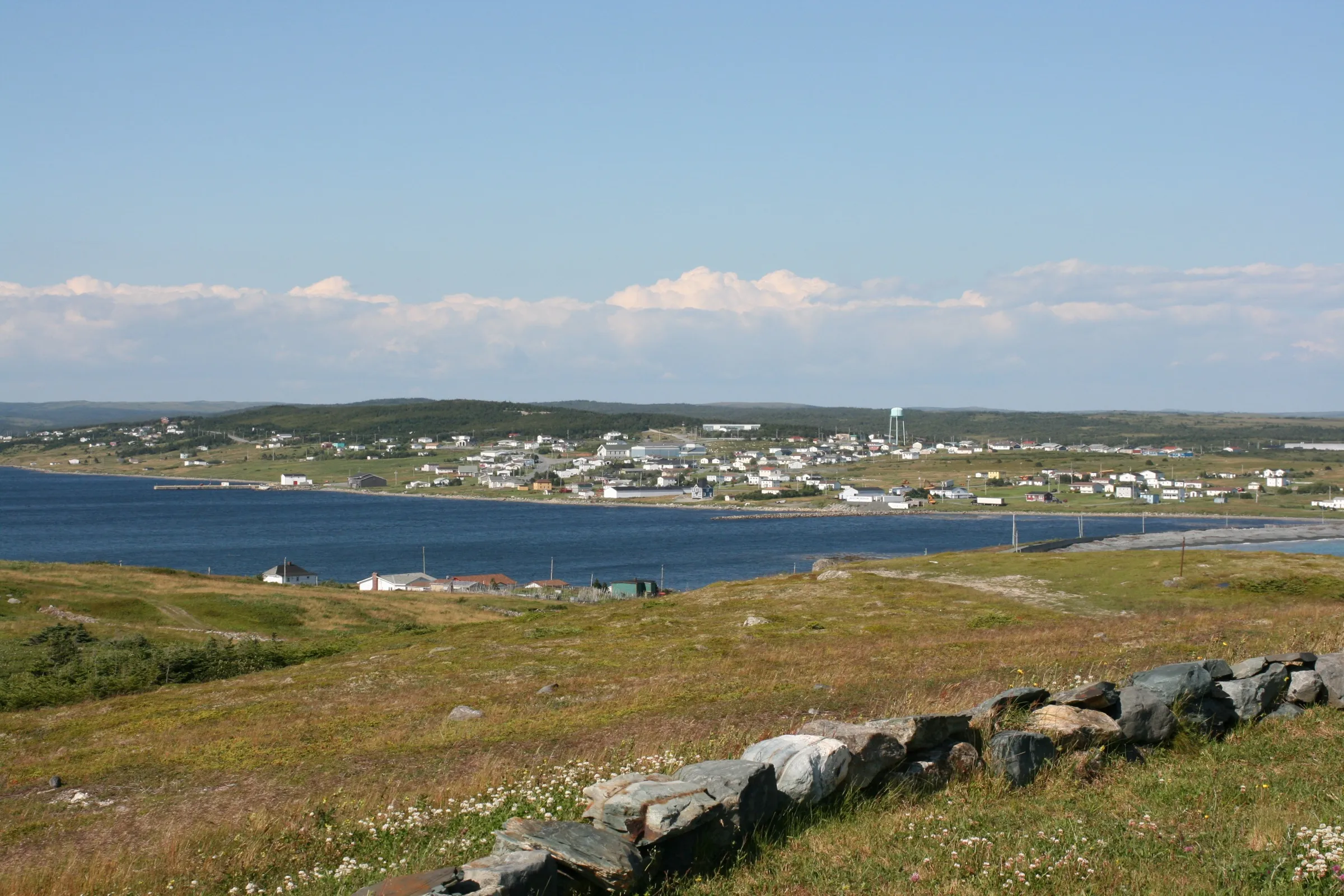 Trepassey156 km from St. John's (YYT)395 km from Gander (YQX) · 156 km from St. John's (YYT)698 km from Deer Lake (YDF) · 156 km from St. John's (YYT)156 km from St. John's (YYT)965 km from Port aux Basques (ferry), after 7h at sea · 156 km from St. John's (YYT)148 km from Argentia (ferry), after 16.5h at sea (seasonal)
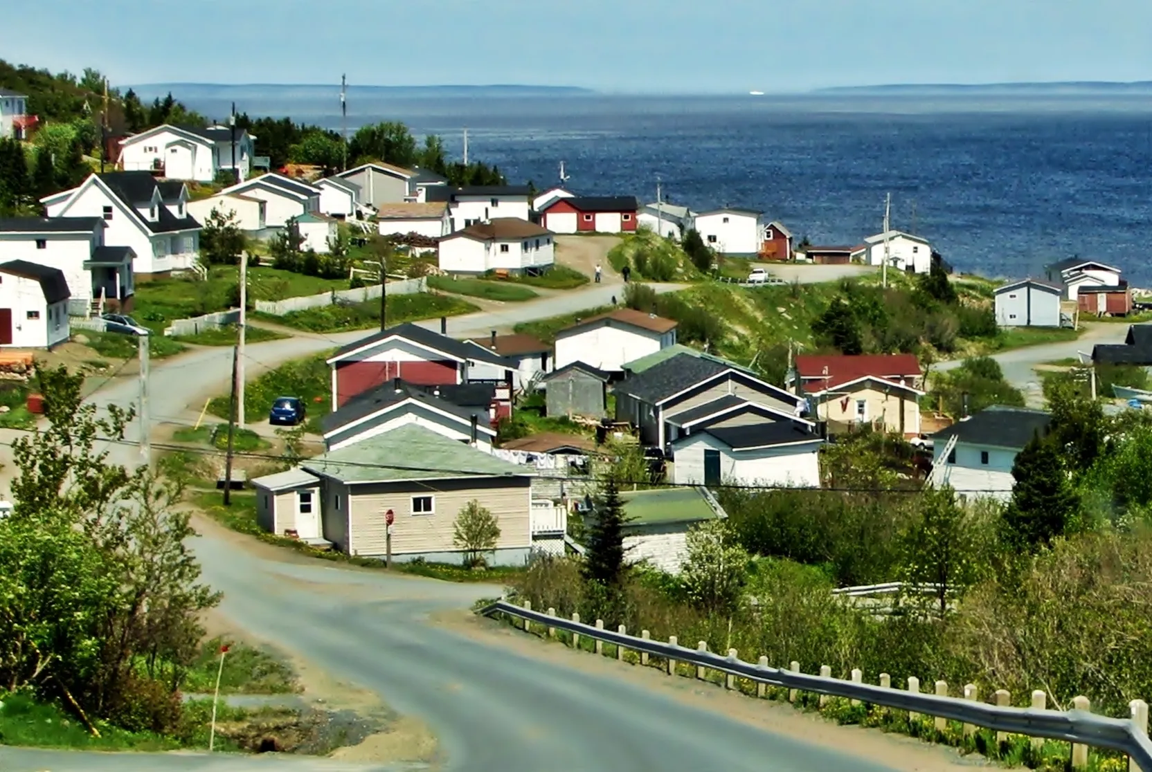 Baie Verte159 km from Deer Lake (YDF)275 km from Gander (YQX) · 159 km from Deer Lake (YDF)159 km from Deer Lake (YDF)606 km from St. John's (YYT) · 159 km from Deer Lake (YDF)426 km from Port aux Basques (ferry), after 7h at sea · 159 km from Deer Lake (YDF)562 km from Argentia (ferry), after 16.5h at sea (seasonal) · 159 km from Deer Lake (YDF)
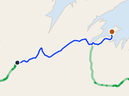 Long Island (Green Bay)171 km from Deer Lake (YDF), then a ferry220 km from Gander (YQX) · 171 km from Deer Lake (YDF)171 km from Deer Lake (YDF), then a ferry552 km from St. John's (YYT), then a ferry · 171 km from Deer Lake (YDF)438 km from Port aux Basques (ferry), after 7h at sea, then a ferry · 171 km from Deer Lake (YDF)507 km from Argentia (ferry), after 16.5h at sea (seasonal), then a ferry · 171 km from Deer Lake (YDF)
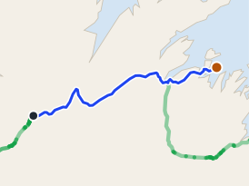 Triton (Green Bay)175 km from Deer Lake (YDF)224 km from Gander (YQX) · 175 km from Deer Lake (YDF)175 km from Deer Lake (YDF)556 km from St. John's (YYT) · 175 km from Deer Lake (YDF)441 km from Port aux Basques (ferry), after 7h at sea · 175 km from Deer Lake (YDF)511 km from Argentia (ferry), after 16.5h at sea (seasonal) · 175 km from Deer Lake (YDF)
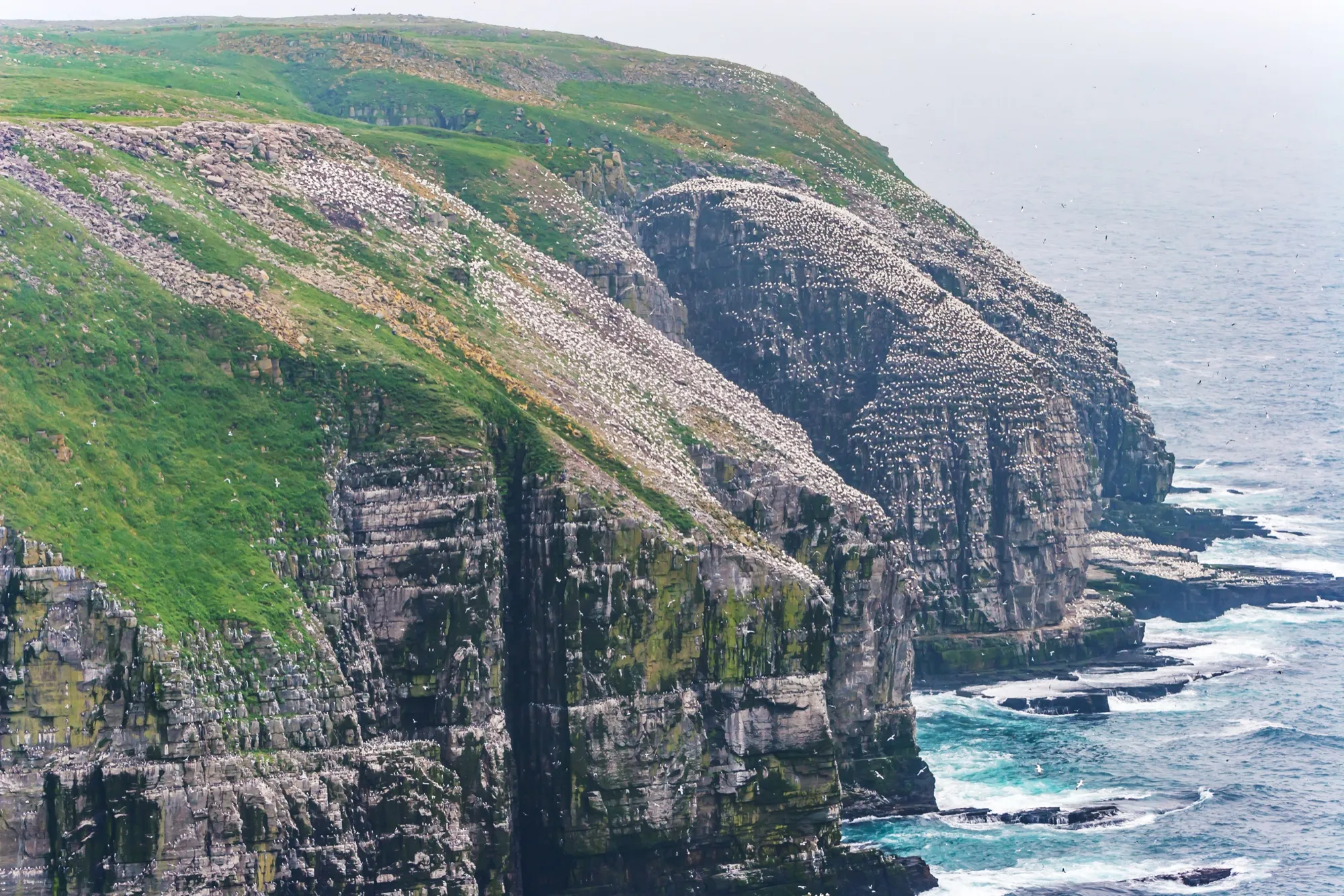 Cape St. Mary's Ecological Reserve177 km from St. John's (YYT)354 km from Gander (YQX) · 177 km from St. John's (YYT)657 km from Deer Lake (YDF) · 177 km from St. John's (YYT)177 km from St. John's (YYT)923 km from Port aux Basques (ferry), after 7h at sea · 177 km from St. John's (YYT)71 km from Argentia (ferry), after 16.5h at sea (seasonal)
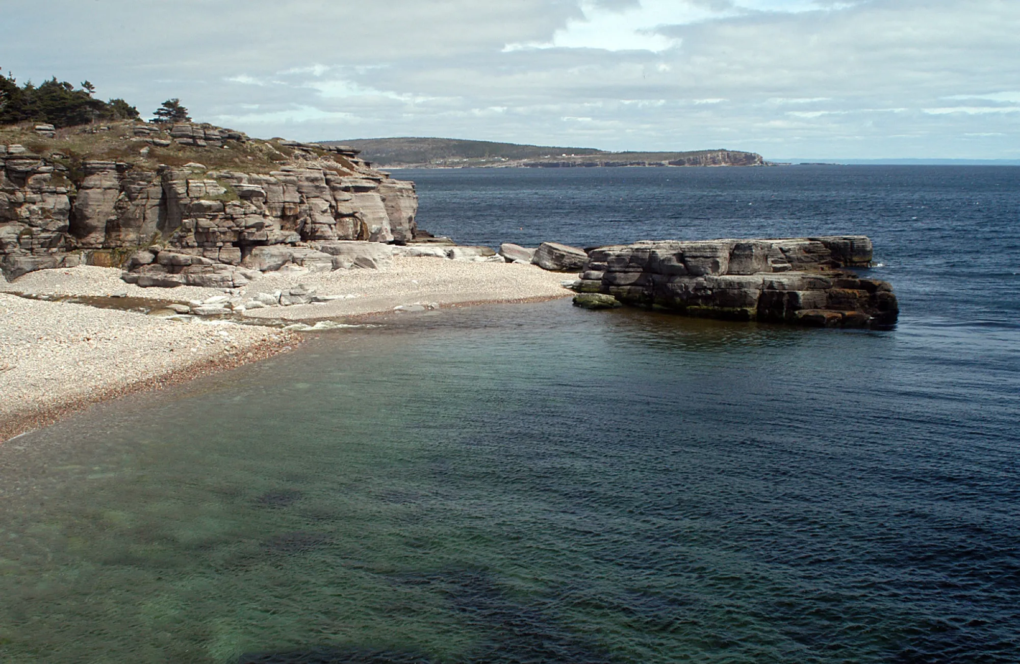 Cape St. George188 km from Deer Lake (YDF)491 km from Gander (YQX) · 188 km from Deer Lake (YDF)188 km from Deer Lake (YDF)823 km from St. John's (YYT) · 188 km from Deer Lake (YDF)222 km from Port aux Basques (ferry), after 7h at sea · 188 km from Deer Lake (YDF)779 km from Argentia (ferry), after 16.5h at sea (seasonal) · 188 km from Deer Lake (YDF)
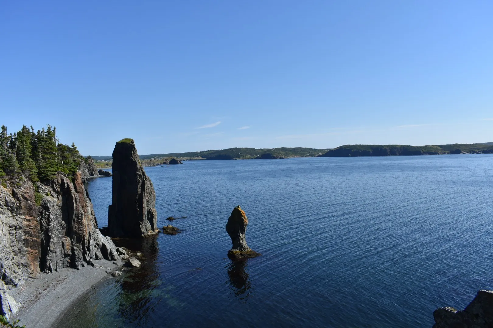 Port Rexton199 km from Gander (YQX)199 km from Gander (YQX)502 km from Deer Lake (YDF) · 199 km from Gander (YQX)260 km from St. John's (YYT) · 199 km from Gander (YQX)769 km from Port aux Basques (ferry), after 7h at sea · 199 km from Gander (YQX)215 km from Argentia (ferry), after 16.5h at sea (seasonal) · 199 km from Gander (YQX)
- Skerwink TrailTrail · 5.1 km loop200 km from Gander (YQX)200 km from Gander (YQX)503 km from Deer Lake (YDF) · 200 km from Gander (YQX)261 km from St. John's (YYT) · 200 km from Gander (YQX)Not measured from here yetNot measured from here yet
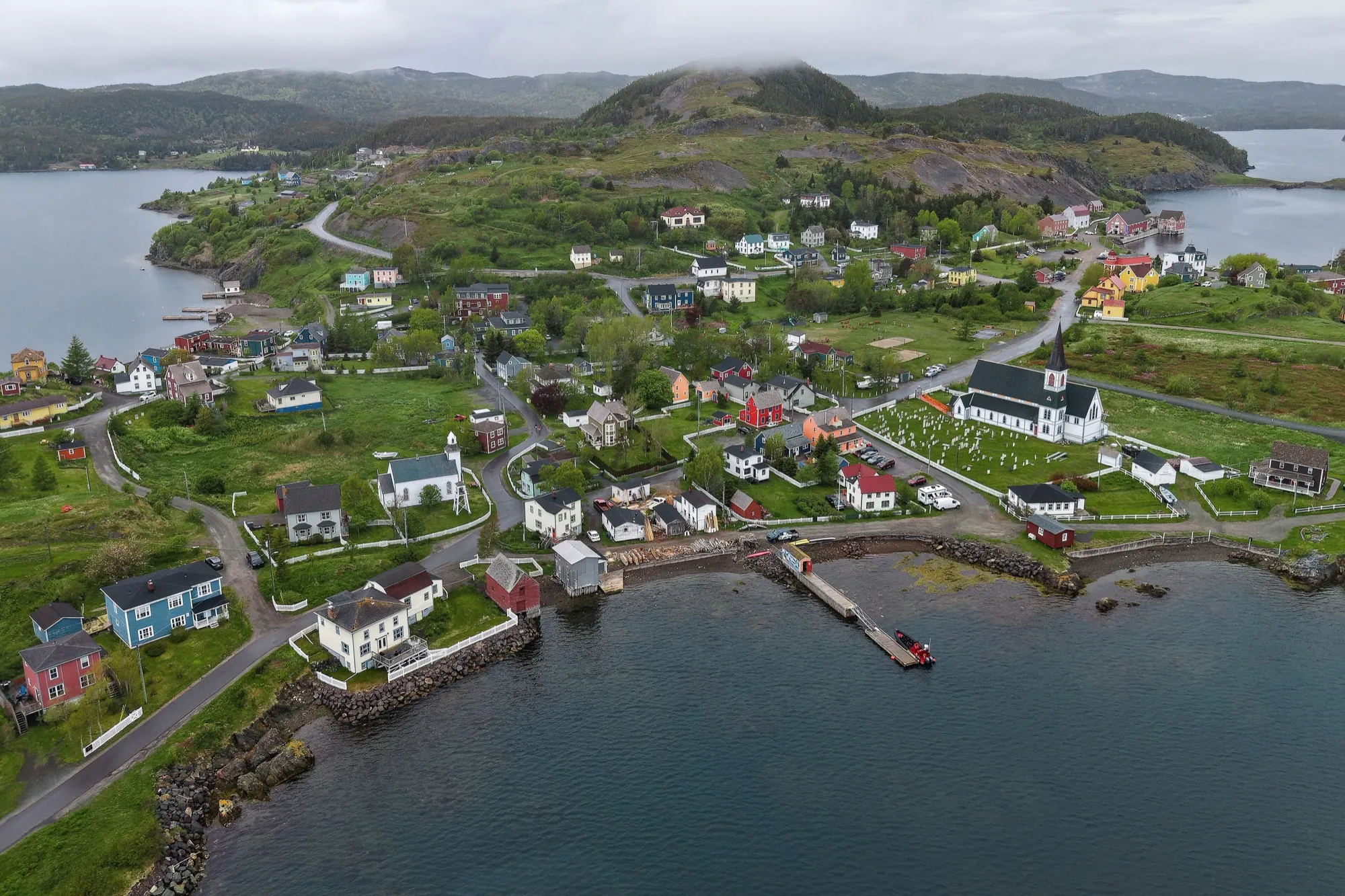 Trinity (Trinity Bay)200 km from Gander (YQX)200 km from Gander (YQX)504 km from Deer Lake (YDF) · 200 km from Gander (YQX)261 km from St. John's (YYT) · 200 km from Gander (YQX)770 km from Port aux Basques (ferry), after 7h at sea · 200 km from Gander (YQX)217 km from Argentia (ferry), after 16.5h at sea (seasonal) · 200 km from Gander (YQX)
 Trail to Morry's CoveTrail · 3.6 km walk206 km from Gander (YQX)206 km from Gander (YQX)Not measured from here yetNot measured from here yetNot measured from here yetNot measured from here yet
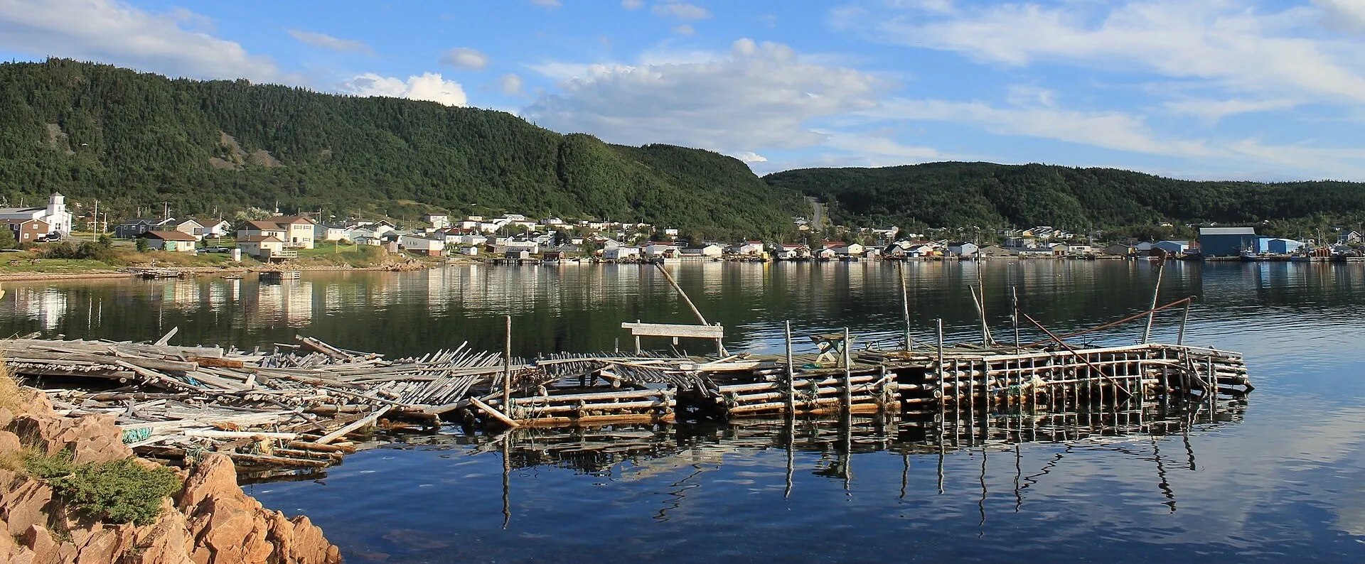 La Scie208 km from Deer Lake (YDF)324 km from Gander (YQX) · 208 km from Deer Lake (YDF)208 km from Deer Lake (YDF)655 km from St. John's (YYT) · 208 km from Deer Lake (YDF)475 km from Port aux Basques (ferry), after 7h at sea · 208 km from Deer Lake (YDF)611 km from Argentia (ferry), after 16.5h at sea (seasonal) · 208 km from Deer Lake (YDF)
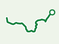 Pilley's Island Lookout TrailTrail · 4.6 km out and back214 km from Gander (YQX)214 km from Gander (YQX)Not measured from here yetNot measured from here yetNot measured from here yetNot measured from here yet
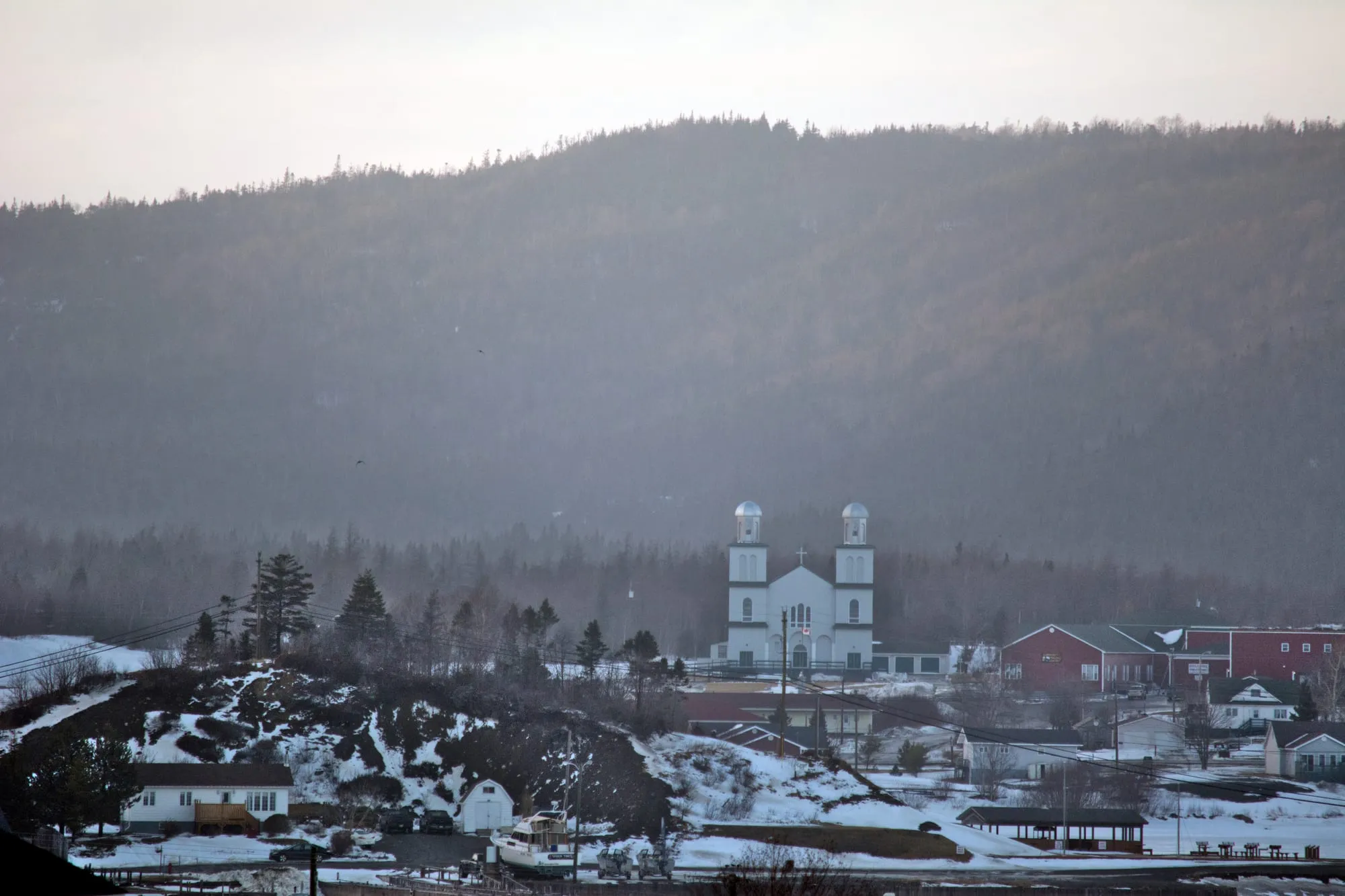 St. Alban's (Bay d'Espoir)235 km from Gander (YQX)235 km from Gander (YQX)368 km from Deer Lake (YDF) · 235 km from Gander (YQX)567 km from St. John's (YYT) · 235 km from Gander (YQX)635 km from Port aux Basques (ferry), after 7h at sea · 235 km from Gander (YQX)522 km from Argentia (ferry), after 16.5h at sea (seasonal) · 235 km from Gander (YQX)
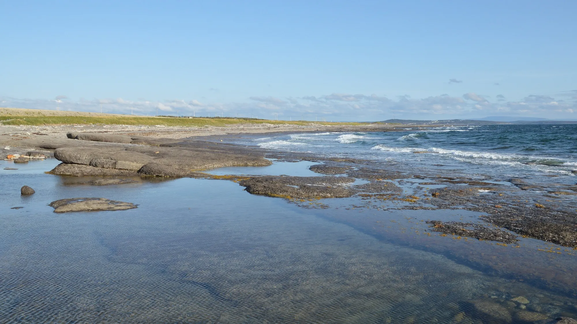 Port au Choix236 km from Deer Lake (YDF)539 km from Gander (YQX) · 236 km from Deer Lake (YDF)236 km from Deer Lake (YDF)871 km from St. John's (YYT) · 236 km from Deer Lake (YDF)501 km from Port aux Basques (ferry), after 7h at sea · 236 km from Deer Lake (YDF)826 km from Argentia (ferry), after 16.5h at sea (seasonal) · 236 km from Deer Lake (YDF)
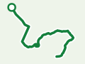 Starlight TrailTrail · 4.8 km out and back239 km from Deer Lake (YDF)Not measured from here yet239 km from Deer Lake (YDF)Not measured from here yetNot measured from here yetNot measured from here yet
 Codroy Valley245 km from Deer Lake (YDF)549 km from Gander (YQX) · 245 km from Deer Lake (YDF)245 km from Deer Lake (YDF)880 km from St. John's (YYT) · 245 km from Deer Lake (YDF)40 km from Port aux Basques (ferry), after 7h at sea836 km from Argentia (ferry), after 16.5h at sea (seasonal) · 245 km from Deer Lake (YDF)
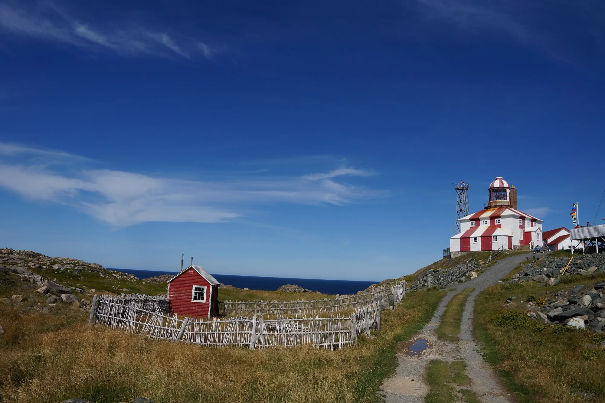 Cape Bonavista (lighthouse)248 km from Gander (YQX)248 km from Gander (YQX)551 km from Deer Lake (YDF) · 248 km from Gander (YQX)309 km from St. John's (YYT) · 248 km from Gander (YQX)818 km from Port aux Basques (ferry), after 7h at sea · 248 km from Gander (YQX)264 km from Argentia (ferry), after 16.5h at sea (seasonal) · 248 km from Gander (YQX)
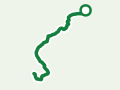 Aaron's Arm TrailTrail · 5.2 km walk262 km from Deer Lake (YDF)Not measured from here yet262 km from Deer Lake (YDF)Not measured from here yetNot measured from here yetNot measured from here yet
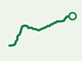 Smokey Cape TrailTrail · 2.4 km walk262 km from Deer Lake (YDF)Not measured from here yet262 km from Deer Lake (YDF)Not measured from here yetNot measured from here yetNot measured from here yet
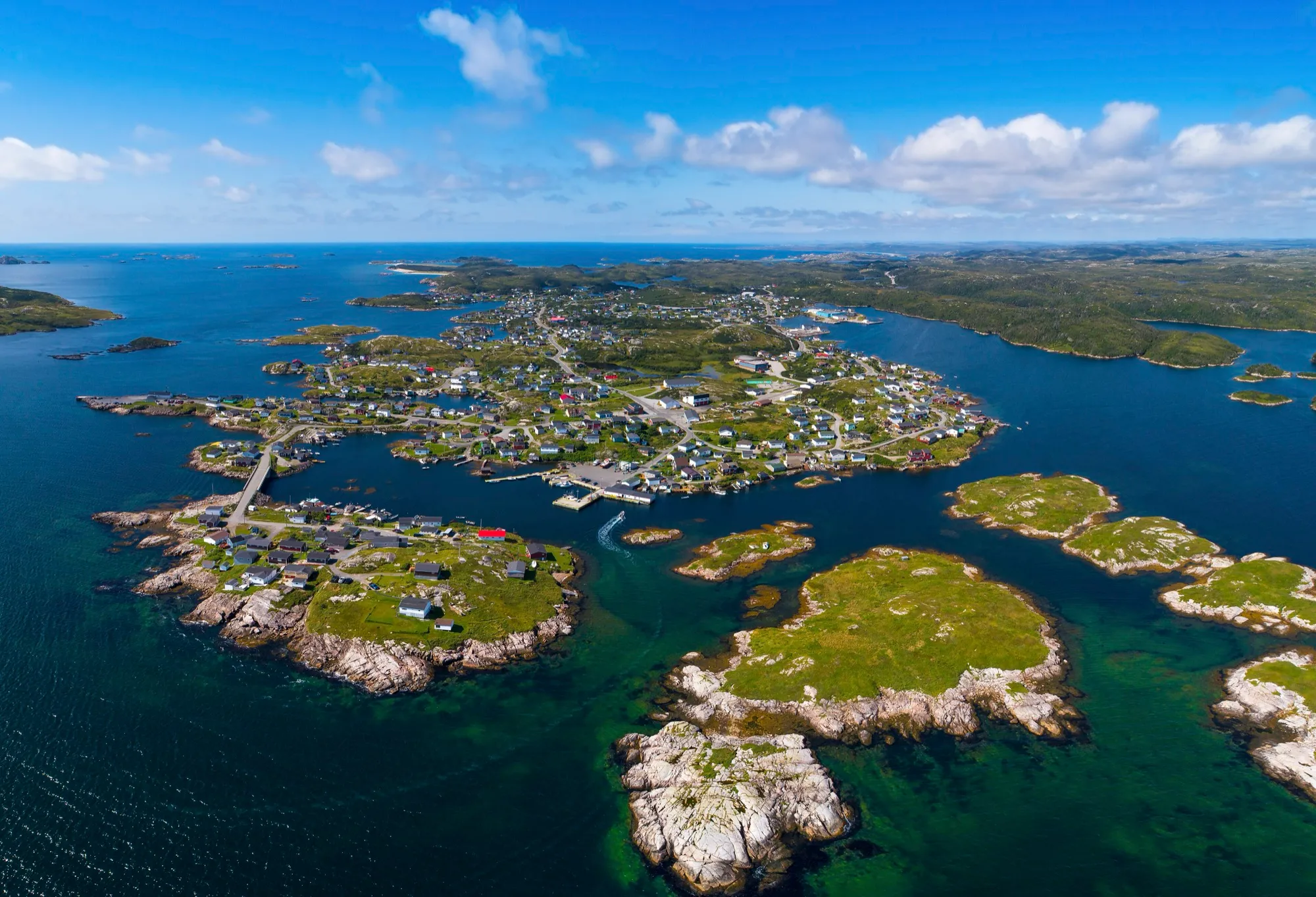 Burgeo (the Sandbanks)266 km from Deer Lake (YDF)385 km from Gander (YQX) · 266 km from Deer Lake (YDF)266 km from Deer Lake (YDF)717 km from St. John's (YYT) · 266 km from Deer Lake (YDF)306 km from Port aux Basques (ferry), after 7h at sea · 266 km from Deer Lake (YDF)673 km from Argentia (ferry), after 16.5h at sea (seasonal) · 266 km from Deer Lake (YDF)
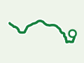 Traditional Trail to PiccaireTrail · 4.4 km out and back267 km from Gander (YQX)267 km from Gander (YQX)Not measured from here yetNot measured from here yetNot measured from here yetNot measured from here yet
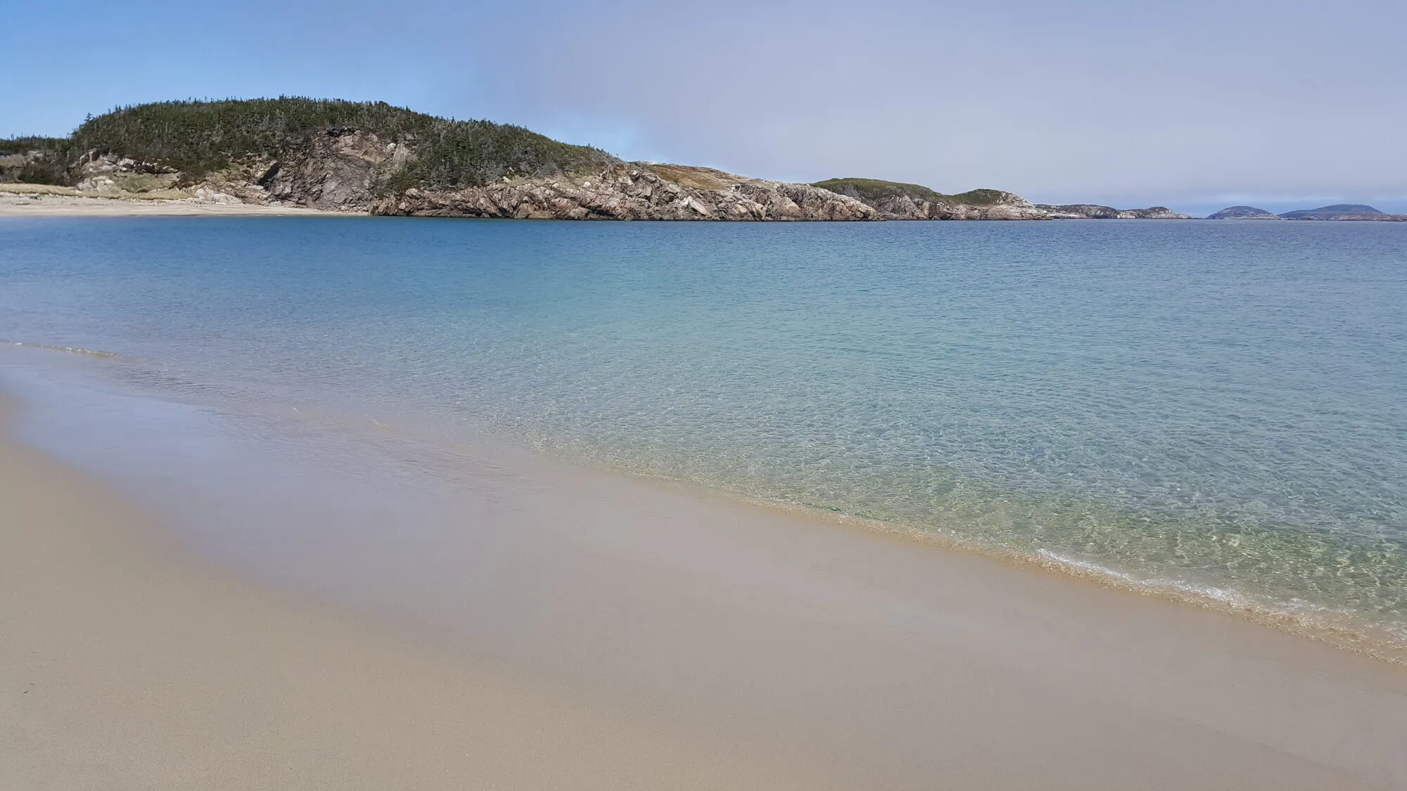 Sandbanks Beaches LoopTrail · 4.5 km loop268 km from Deer Lake (YDF)Not measured from here yet268 km from Deer Lake (YDF)Not measured from here yetNot measured from here yetNot measured from here yet
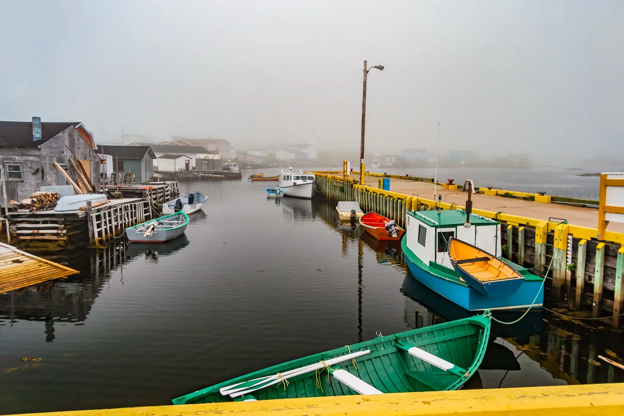 Port aux Basques271 km from Deer Lake (YDF)574 km from Gander (YQX) · 271 km from Deer Lake (YDF)271 km from Deer Lake (YDF)906 km from St. John's (YYT) · 271 km from Deer Lake (YDF)5 km from Port aux Basques (ferry), after 7h at sea861 km from Argentia (ferry), after 16.5h at sea (seasonal) · 271 km from Deer Lake (YDF)
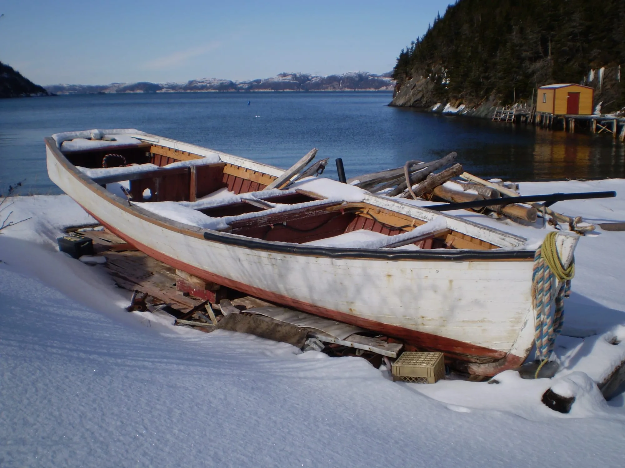 Hermitage (Gaultois ferry)276 km from Gander (YQX)276 km from Gander (YQX)410 km from Deer Lake (YDF) · 276 km from Gander (YQX)608 km from St. John's (YYT) · 276 km from Gander (YQX)676 km from Port aux Basques (ferry), after 7h at sea · 276 km from Gander (YQX)563 km from Argentia (ferry), after 16.5h at sea (seasonal) · 276 km from Gander (YQX)
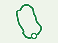 Hermitage-Sandyville Walking TrailTrail · 1.5 km loop277 km from Gander (YQX)277 km from Gander (YQX)Not measured from here yetNot measured from here yetNot measured from here yetNot measured from here yet
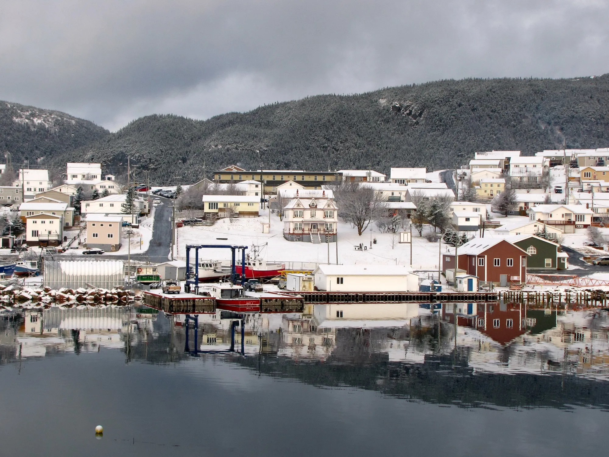 Harbour Breton (Coast of Bays)280 km from Gander (YQX)280 km from Gander (YQX)414 km from Deer Lake (YDF) · 280 km from Gander (YQX)612 km from St. John's (YYT) · 280 km from Gander (YQX)680 km from Port aux Basques (ferry), after 7h at sea · 280 km from Gander (YQX)567 km from Argentia (ferry), after 16.5h at sea (seasonal) · 280 km from Gander (YQX)
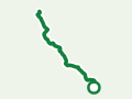 Dead Man's Cove TrailTrail · 6.2 km out and back282 km from Gander (YQX)282 km from Gander (YQX)Not measured from here yetNot measured from here yetNot measured from here yetNot measured from here yet
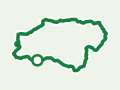 Harvey's TrailTrail · 4 km loop288 km from Deer Lake (YDF)Not measured from here yet288 km from Deer Lake (YDF)Not measured from here yetNot measured from here yetNot measured from here yet
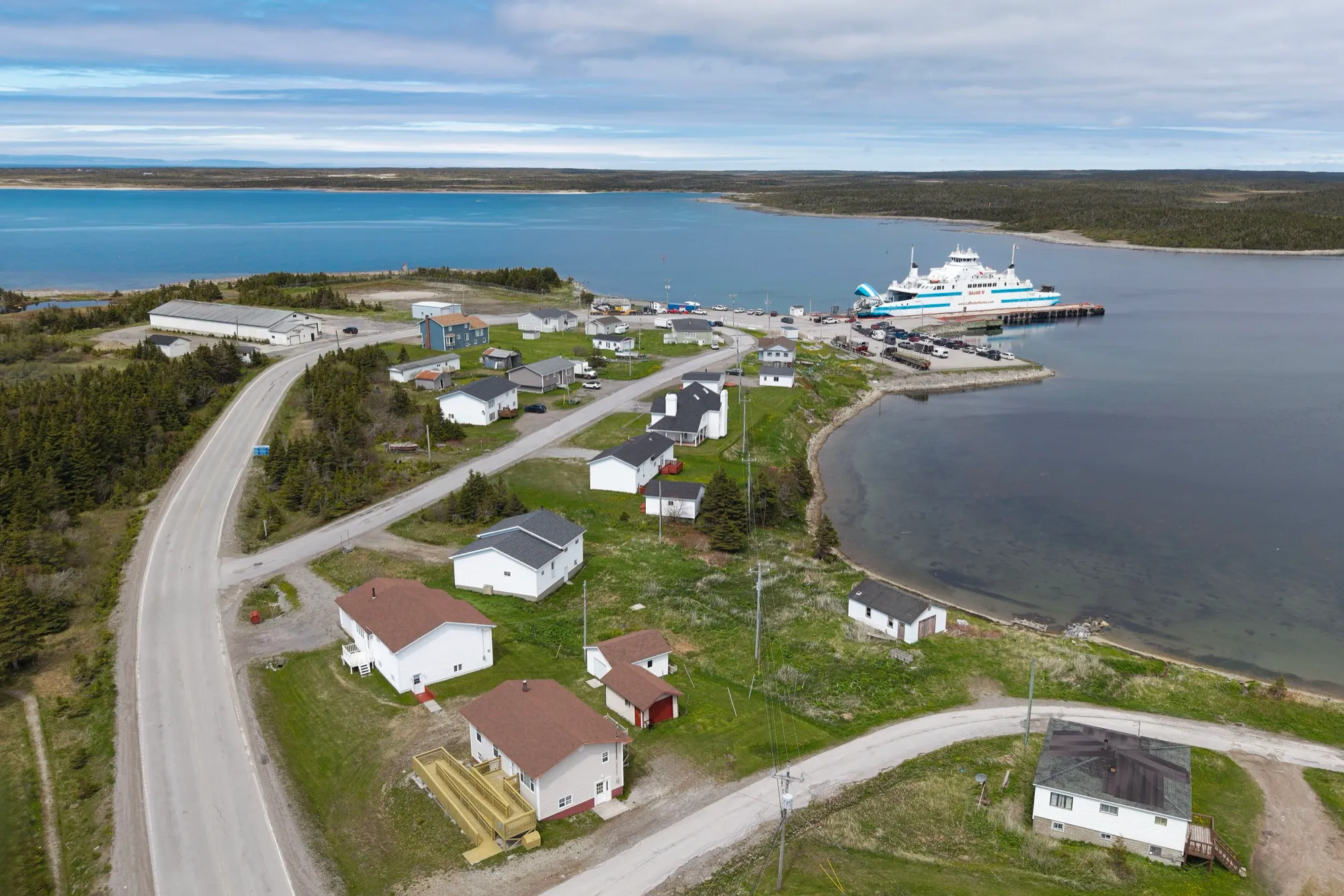 St. Barbe ferry terminal299 km from Deer Lake (YDF), then a ferry602 km from Gander (YQX), then a ferry · 299 km from Deer Lake (YDF)299 km from Deer Lake (YDF), then a ferry934 km from St. John's (YYT), then a ferry · 299 km from Deer Lake (YDF)564 km from Port aux Basques (ferry), after 7h at sea, then a ferry · 299 km from Deer Lake (YDF)890 km from Argentia (ferry), after 16.5h at sea (seasonal), then a ferry · 299 km from Deer Lake (YDF)
Over 300 km
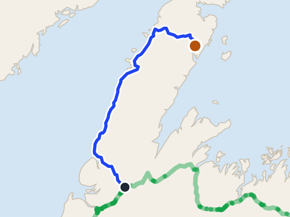 Roddickton352 km from Deer Lake (YDF)655 km from Gander (YQX) · 352 km from Deer Lake (YDF)352 km from Deer Lake (YDF)986 km from St. John's (YYT) · 352 km from Deer Lake (YDF)616 km from Port aux Basques (ferry), after 7h at sea · 352 km from Deer Lake (YDF)942 km from Argentia (ferry), after 16.5h at sea (seasonal) · 352 km from Deer Lake (YDF)
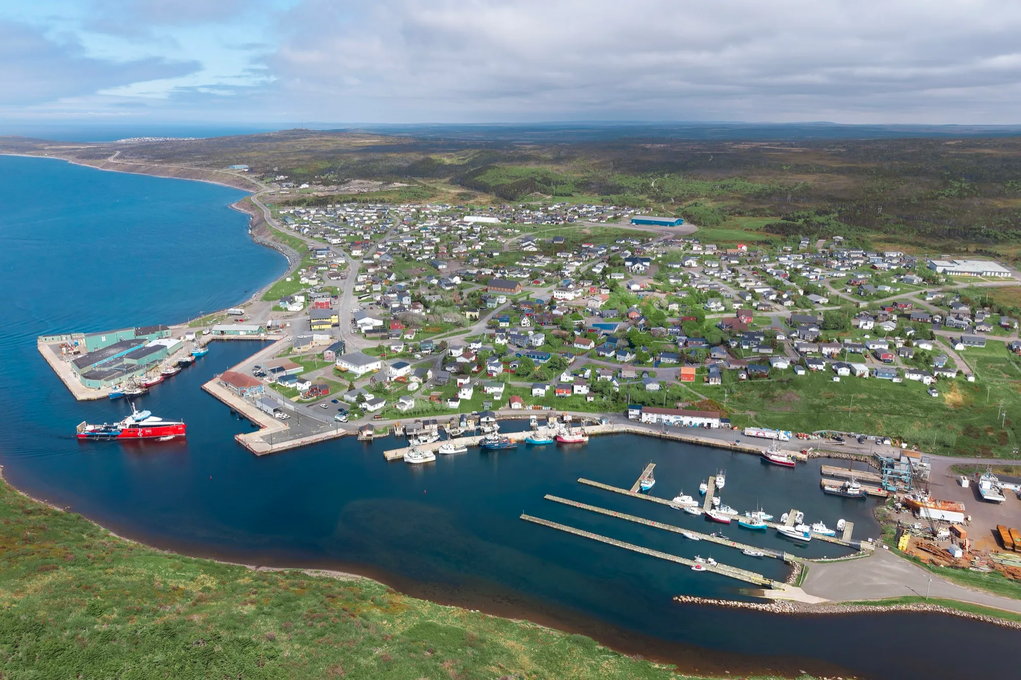 Fortune366 km from St. John's (YYT)379 km from Gander (YQX) · 366 km from St. John's (YYT)682 km from Deer Lake (YDF) · 366 km from St. John's (YYT)366 km from St. John's (YYT)948 km from Port aux Basques (ferry), after 7h at sea · 366 km from St. John's (YYT)322 km from Argentia (ferry), after 16.5h at sea (seasonal)
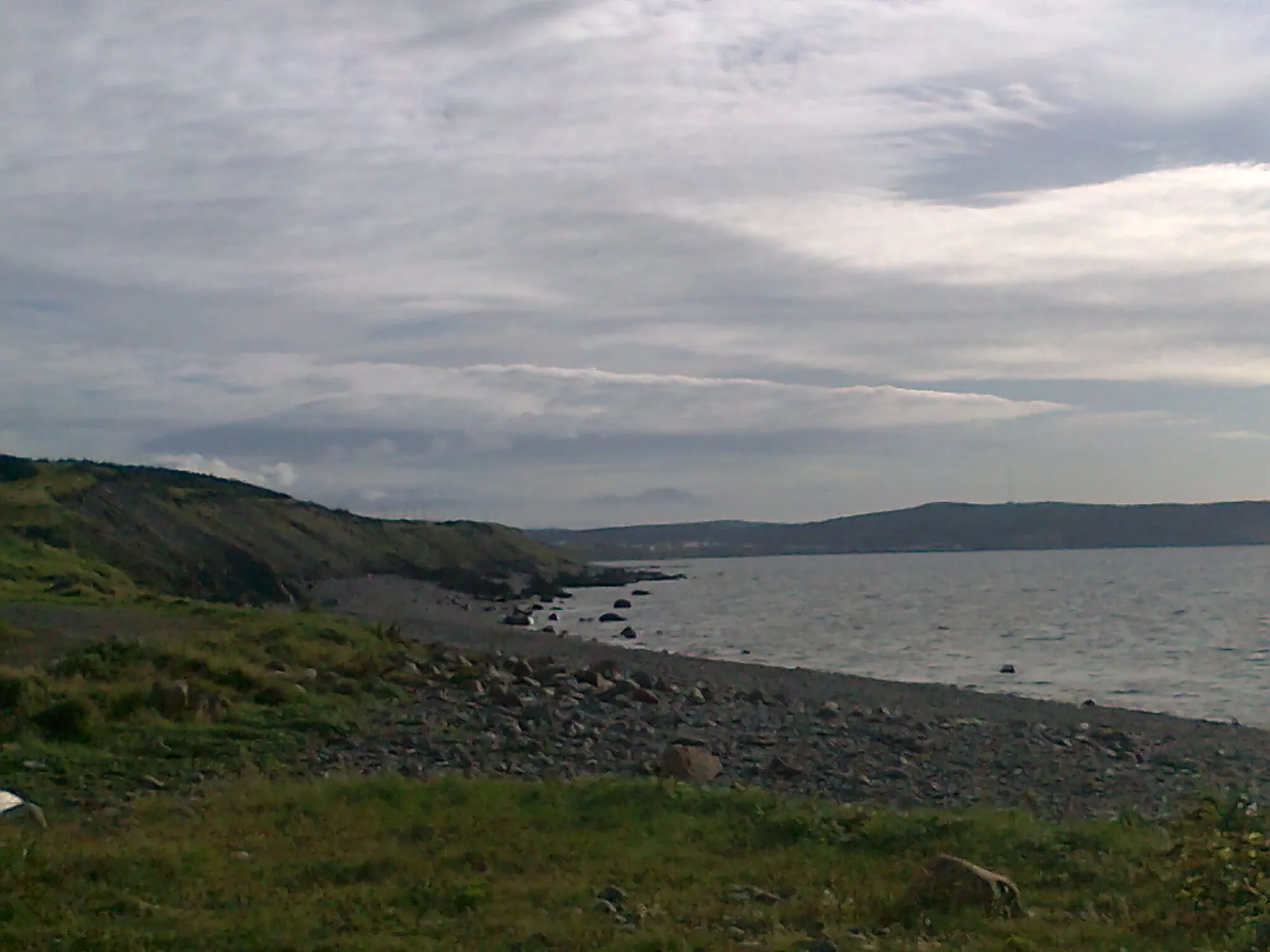 Grand Bank Cape TrailTrail · 7.4 km walk375 km from Gander (YQX)375 km from Gander (YQX)Not measured from here yetNot measured from here yetNot measured from here yetNot measured from here yet
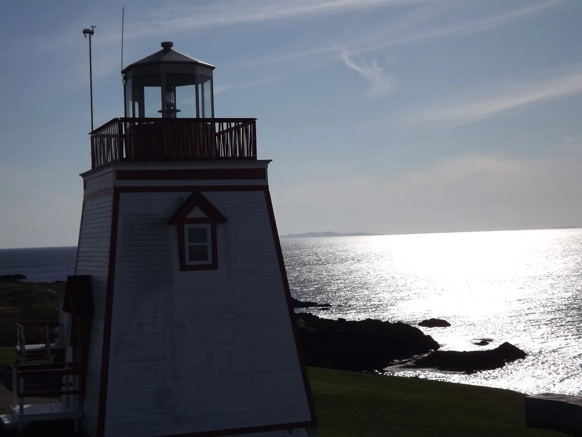 Lighthouse TrailTrail · 5.4 km walk384 km from Gander (YQX)384 km from Gander (YQX)Not measured from here yetNot measured from here yetNot measured from here yetNot measured from here yet
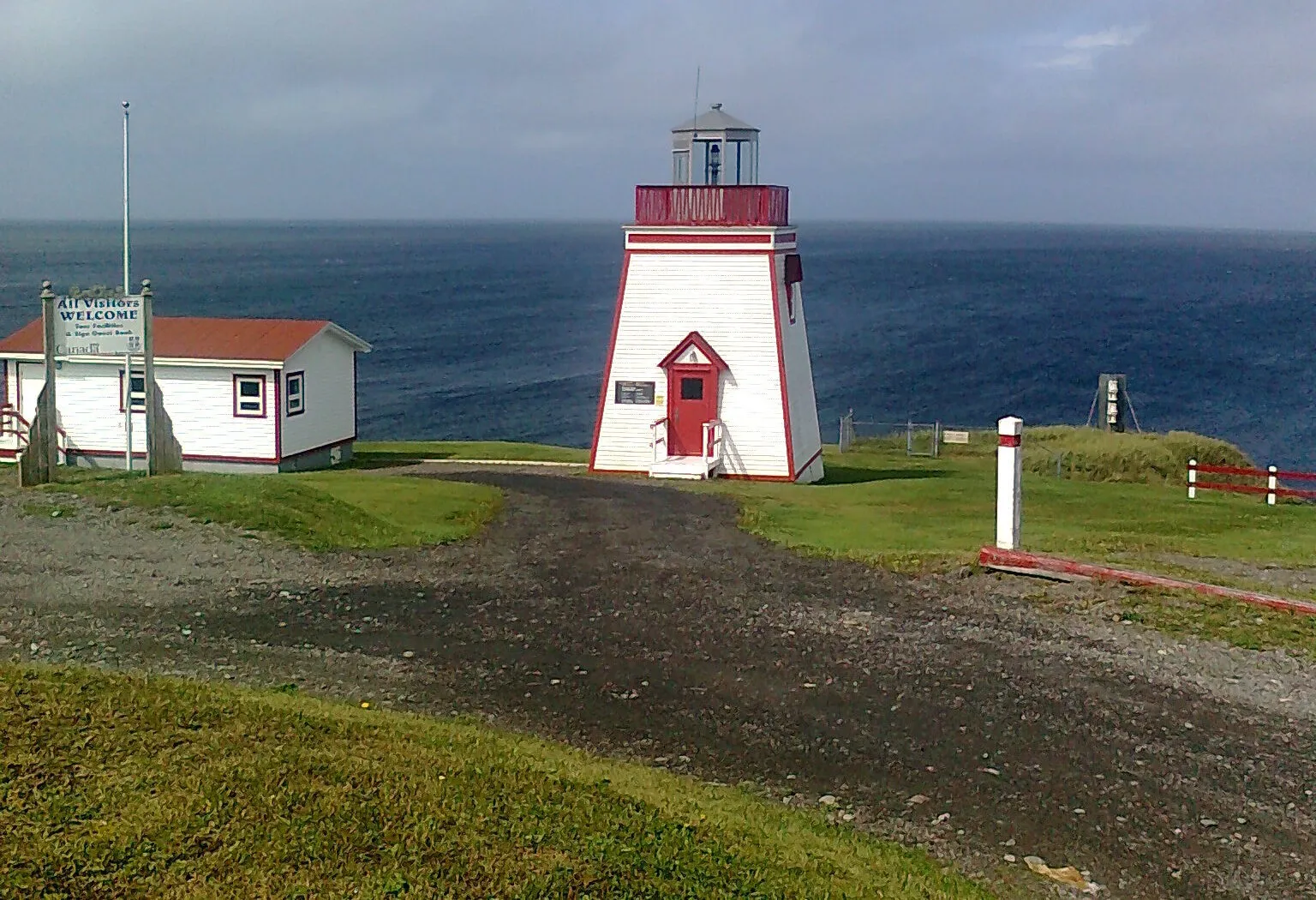 Lighthouse Coastal TrailTrail · 3.2 km walk384 km from Gander (YQX)384 km from Gander (YQX)Not measured from here yetNot measured from here yetNot measured from here yetNot measured from here yet
 Great Dansik Cove TrailTrail · 8.2 km out and back392 km from Gander (YQX)392 km from Gander (YQX)Not measured from here yetNot measured from here yetNot measured from here yetNot measured from here yet
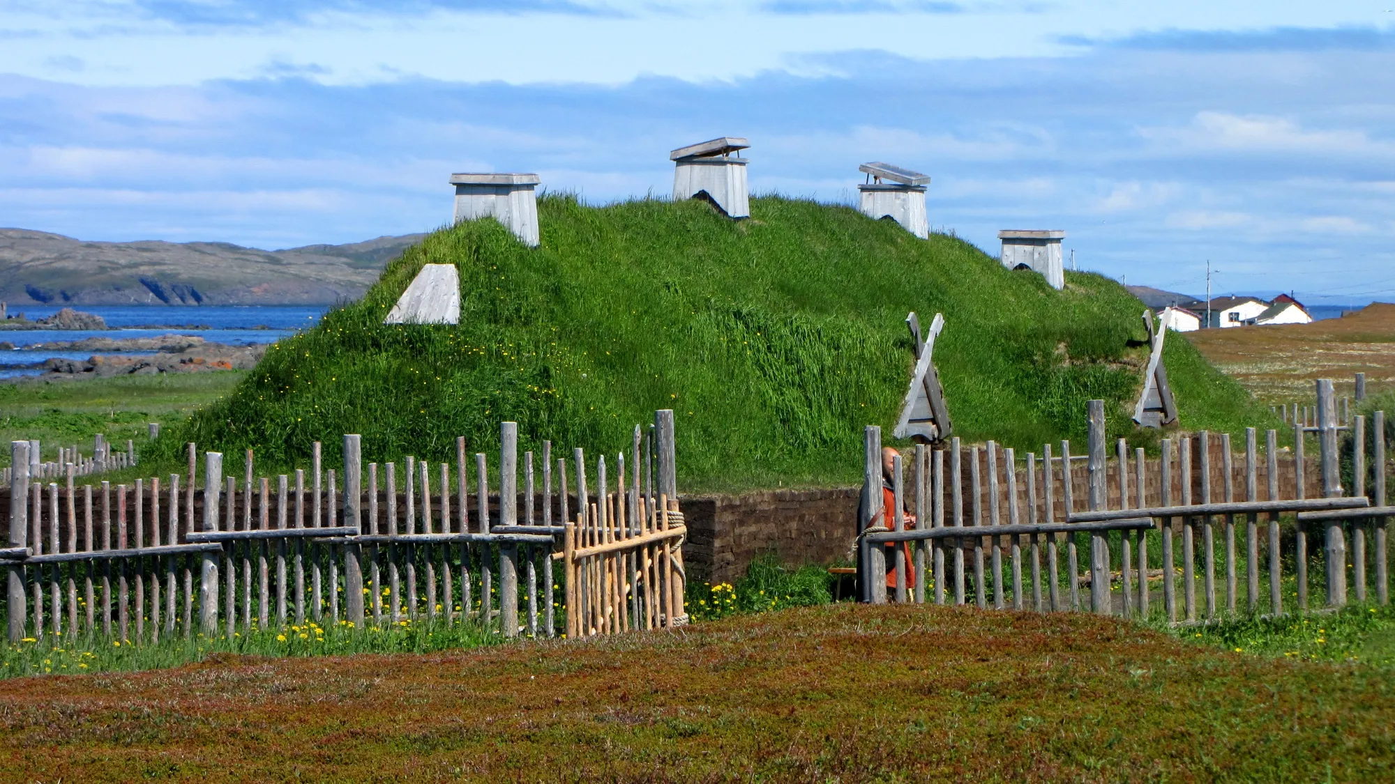 L'Anse aux Meadows436 km from Deer Lake (YDF)740 km from Gander (YQX) · 436 km from Deer Lake (YDF)436 km from Deer Lake (YDF)1071 km from St. John's (YYT) · 436 km from Deer Lake (YDF)701 km from Port aux Basques (ferry), after 7h at sea · 436 km from Deer Lake (YDF)1027 km from Argentia (ferry), after 16.5h at sea (seasonal) · 436 km from Deer Lake (YDF)
Not measured from here yet
Not because they are far: nothing has been measured from here to them.
On the map
Between the destinations
The drives people make after the thing they flew in for. The airport is not on the way between two places on this coast, and treating it as a hub adds a long detour every time.
Twillingate ↔ Lewisporte
Twillingate to Lewisporte: 91.7 km between the icebergs and the bay, across the New World Island causeways.
92 km · Routes 340, 341 · same both ways
Lewisporte ↔ Boyd's Cove
Lewisporte to Boyd's Cove: 49.6 km on Routes 341 and 340, from a town with beds to the Beothuk site.
50 km · Routes 341, 340 · same both ways
Comfort Cove-Newstead ↔ Twillingate
Comfort Cove-Newstead to Twillingate: 85 km on Routes 343 and 340, over the causeways of New World Island to the iceberg headlands.
85 km · Routes 343, 340 · same both ways
Rocky Harbour ↔ Twillingate
Coast to coast across Newfoundland: 427.6 km between the two headline destinations, longer than the airport pair people assume covers it.
428 km · Routes 430, 1, 340 · same both ways
Baie Verte ↔ La Scie
The two ends of the Baie Verte Peninsula, 60.1 km apart on Routes 410 and 414.
60 km · Routes 410, 414 · same both ways
Comfort Cove-Newstead ↔ Boyd's Cove
Comfort Cove-Newstead to Boyd's Cove: 42.9 km on Routes 343 and 340, to the Beothuk site at the gateway to New World Island.
43 km · Routes 343, 340 · same both ways
Comfort Cove-Newstead ↔ Lewisporte
Comfort Cove-Newstead to Lewisporte: 34.7 km on Routes 343, 340 and 341, to the bay's service town and its marina.
35 km · Routes 343, 340, 341 · same both ways
Admiral's Coast
The Admiral's Coast as the province names it: 52.8 km on Route 60 from Colliers along Conception Bay to Topsail Beach and Paradise.
53 km · Routes 60 · same both ways
Coast of Bays
The Coast of Bays measured one way: 482.3 km from Bishop's Falls down Route 360 to Bay d'Espoir, Harbour Breton, Hermitage and Pool's Cove.
482 km · Routes 1, 360, 361, 365, 364, 362, 363 · same both ways
Codroy Valley Wetlands
Codroy Valley International Wetlands: 41.6 km from St. Andrew's on Routes 407 and 406, out to Cape Anguille and back to Doyles.
42 km · Routes 407, 406 · same both ways
Dorset Trail
The Dorset Trail up the Baie Verte Peninsula: 211.4 km on Route 410 to Fleur de Lys, then Route 414 by Pacquet and Tilt Cove to La Scie.
211 km · Routes 410, 414, 417, 416 · same both ways
Exploits Valley
The Exploits Valley as the province draws it: 457.4 km from Badger to Buchans, Grand Falls-Windsor, Botwood and the Bay of Exploits, ending at Norris Arm.
457 km · Routes 370, 1, 350, 352, 351 · same both ways
Farewell ferry terminal → Lewisporte
Off the Fogo and Change Islands ferry, Lewisporte is 74 km on Routes 335, 331, 340 and 341 — the road home from the boat.
74 km · Routes 335, 331, 340, 341
Granite Coast Drive
The Granite Coast Drive: 47.4 km from Channel-Port aux Basques on Route 470, past Isle aux Morts to the Rose Blanche Lighthouse.
47 km · Routes 1, 470 · same both ways
Green Bay & Beothuk Trail
Green Bay and the Beothuk Trail: 165.6 km from South Brook to Springdale, King's Point and Jackson's Cove, then Pilley's Island and Triton.
166 km · Routes 380, 1, 390, 391 · same both ways
Heritage Run
The Heritage Run measured one way: 315.7 km from Goobies down the Burin Peninsula by Routes 210 and 220 to Frenchman's Cove.
316 km · Routes 210, 220A, 220, 221, 222, 213 · same both ways
Killick Coast
The Killick Coast as the province names it: 81.4 km from Paradise by Portugal Cove, Bauline and Pouch Cove to Torbay and Logy Bay.
81 km · Routes 1, 50, 40, 41, 21, 20, 30 · same both ways
Osprey Trail
The Osprey Trail as the province names it: 37.1 km on Route 201 from Chance Cove along Trinity Bay past Bellevue Beach to Chapel Arm.
37 km · Routes 201 · same both ways
Road to the Beaches
The Road to the Beaches: 41.3 km on Route 310 from Glovertown round the Eastport Peninsula's beaches and trails, by Eastport and Sandy Cove to Salvage.
41 km · Routes 310 · same both ways
Three Rivers
Three Rivers and Sandy Point Lookout: 111.7 km from Codroy Pond by Routes 405 and 404 along Bay St. George South to Flat Bay.
112 km · Routes 1, 405, 404, 403 · same both ways
Viking Trail
The Viking Trail as the province names it: 476 km from Deer Lake up Routes 430 and 436 to L'Anse aux Meadows, then on to St. Anthony.
476 km · Routes 430, 436 · same both ways
Drives are measured terminal to the place or trailhead by road (OSRM driving profile), read from each page that publishes them, so there is only one copy of each figure. Routing and place data: OpenStreetMap contributors, ODbL. Know a drive we should cover? How routes get accepted.