Arriving at Deer Lake (YDF)
Driving from Deer Lake Regional Airport (YDF)
58 drives measured from the Deer Lake airport, nearest first. Each route page shows when it was measured.
No car? Outside town there is usually no other way to these places. What you can walk to, and the taxis and buses at the terminal →
Staying in Deer Lake? Guides with places measured from here: National park campgrounds · Easier access, Gros Morne · Provincial parks · Flying in small · UNESCO sites · Baie Verte Peninsula · When the boat doesn't sail · Icebergs near Gander.
Renting? Book the car when you book the flight. Cars book up fast in summer, says the province's tourism desk; in June 2026 BNN Bloomberg reported St. John's airport agencies booked for nearly the whole summer.
Rental counters at Deer Lake, with numbers →
Using a wheelchair? Easier access in Gros Morne, in Parks Canada's words →
When to come? Best months for icebergs, whales, puffins and warm weather →
Here in winter? November to April ▾
Marble Mountain declares its own season, lifts and hours: the hill's own page →
In Gros Morne National Park, up the road, in Parks Canada's words:
- Western Brook Pond boat tour Not in winter: “Mid May to mid October.”
- Visitor Centre, Rocky Harbour Open in winter: “Open year-round with reduced hours that are subject to change. October 13, 2026 to May 13, 2027: Monday – Friday, 10:00 am to 3:00 pm; closed Saturday, Sunday, including holidays.”
- Lobster Cove Head Lighthouse Grounds only: “May 15 to October 12, 2026. Grounds open year-round.”
- Camping Open in winter: “Green Point Campground is open year-round. … in winter, the campground operates on a self-registration basis.”
- Snowshoeing Open in winter: “Some of the park’s hiking trails make great snowshoe routes!”
- Cross-country skiing Open in winter: “The ski season in Gros Morne extends from January to April. … Visitor Centre Trails: 10.8 km of regularly groomed trails … The Owl Trail is lit nightly until 10 p.m.”
- Backcountry ski and snowshoe Open in winter: “Snow and ice conditions in these areas are most reliable from mid-January through late March but often extend into mid-April. … Trips are best suited to experienced skiers in groups.”
Winter in Gros Morne (Parks Canada) → Snow months and daylight →
Quoted from Parks Canada's pages, read October 8, 2026.
If you have one day
Picked by us, first choice first. Distances are by road from the airport.
Staying in a town? Easy days out from Marble Mountain Base Lodge · Corner Brook · Woody Point · Rocky Harbour · Cow Head · another town →
 FreeDoum · CC BY-SA 4.0
If you only do one
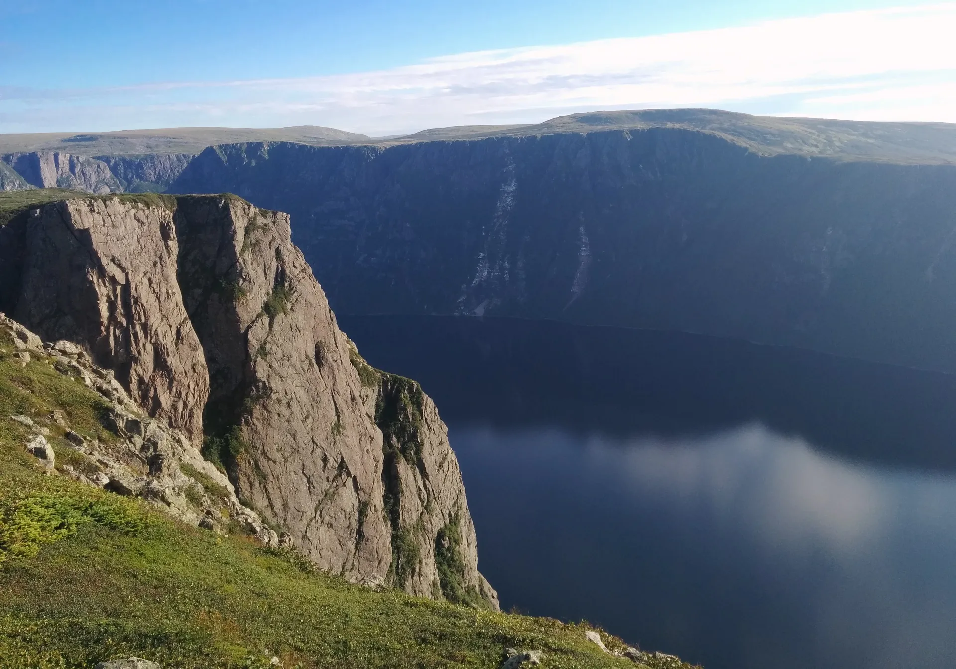
Gros Morne (Rocky Harbour) 72 km
Western Brook Pond's fjord and the park's main town.
 Adavyd · CC BY-SA 4.0
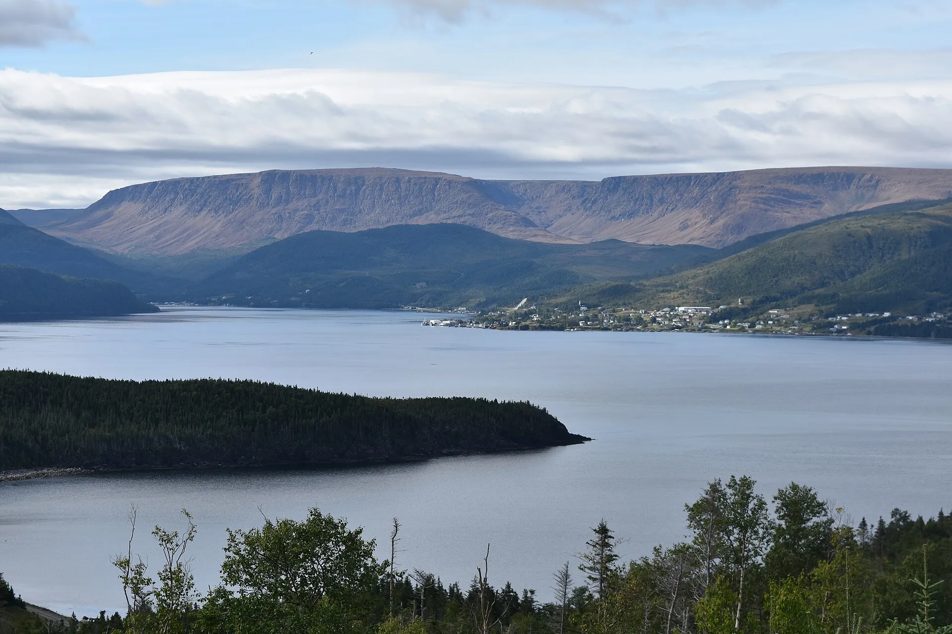
Woody Point 67 km
The Tablelands: walk on the Earth's mantle in an afternoon.
 ParsonsPhotographyNL · CC BY-SA 4.0
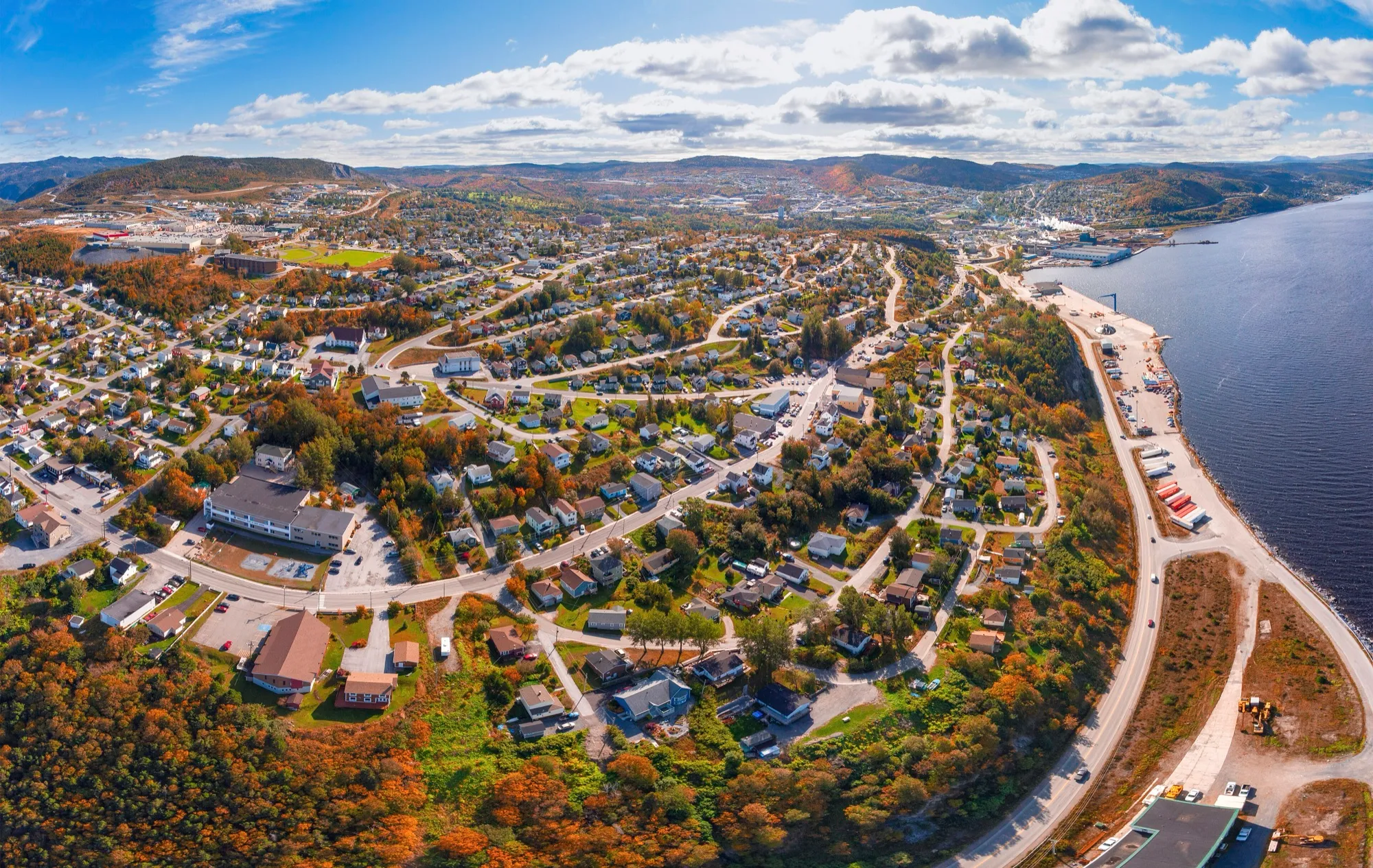
Corner Brook 57 km
The west coast's city on the Humber Arm, with Captain Cook's lookout.
Walks from Deer Lake
Heading to Fogo Island? Gander airport is 256 km closer. See Gander → or compare them all
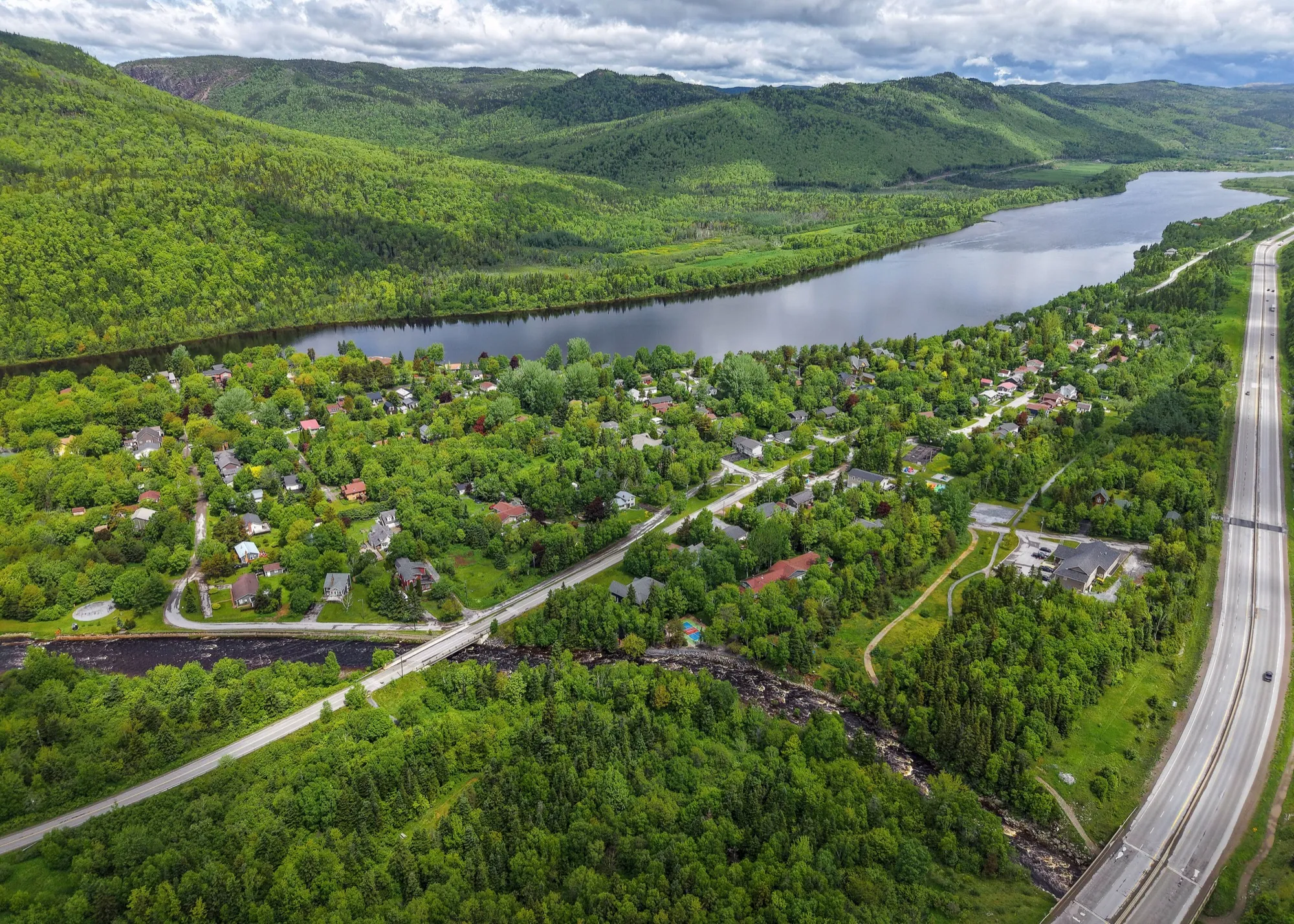
Marble Mountain47 km
You land at Deer Lake and Marble Mountain is 47 km southwest on the Trans-Canada down the Humber Valley to the base lodge at Steady Brook.
Corner Brook57 km
You land at Deer Lake and Corner Brook is 57 km southwest, down the Humber Valley to the west coast's city and Captain Cook's lookout.
Woody Point67 km
The south arm of Gros Morne: 67.2 km from Deer Lake, on a different turn from Rocky Harbour and no closer to it.
Gros Morne (Rocky Harbour)72 km
You land at Deer Lake and Gros Morne is 72 km north. The drive to Rocky Harbour runs on the Trans-Canada and Route 430.
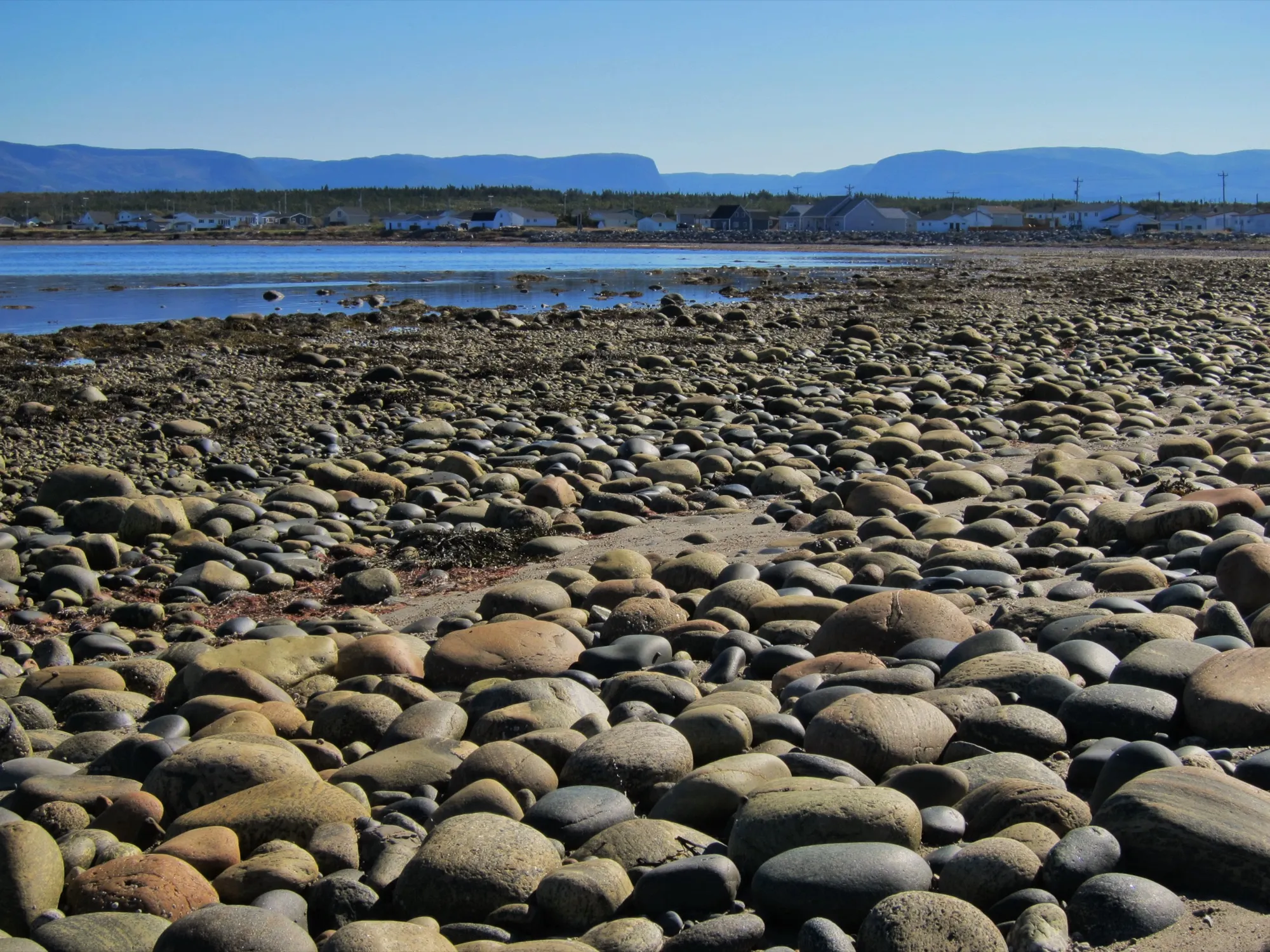
Cow Head119 km
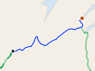
Deer Lake airport to Cow Head is 119 km north, up Route 430 through Gros Morne to the park's quieter northern shore and Shallow Bay's sand.
 route map
King's Point133 km
132.7 km from Deer Lake, only a little nearer than Gander. The coast's best-known trail is here.
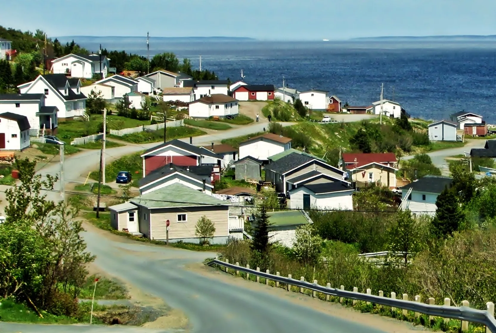
Baie Verte159 km
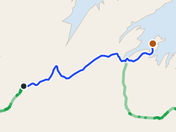
Baie Verte is 159 km from Deer Lake on the Trans-Canada and Route 410, and closer from Deer Lake than from Gander.
 route map
Long Island171 km + ferry
171 km from Deer Lake to the Pilley's Island wharf, then a short crossing to Long Island on a sixteen-car boat.
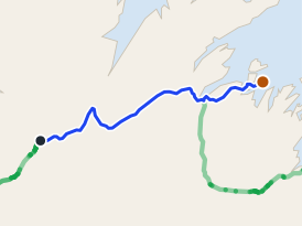 route map
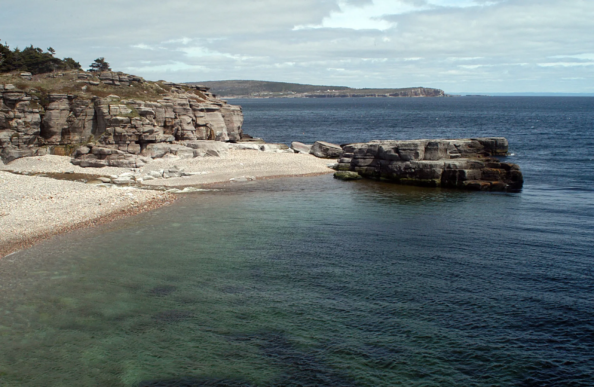
Triton175 km
Deer Lake airport to Triton is 175 km northeast on the Trans-Canada and Route 380, island-hopping by causeway into the middle of Green Bay.
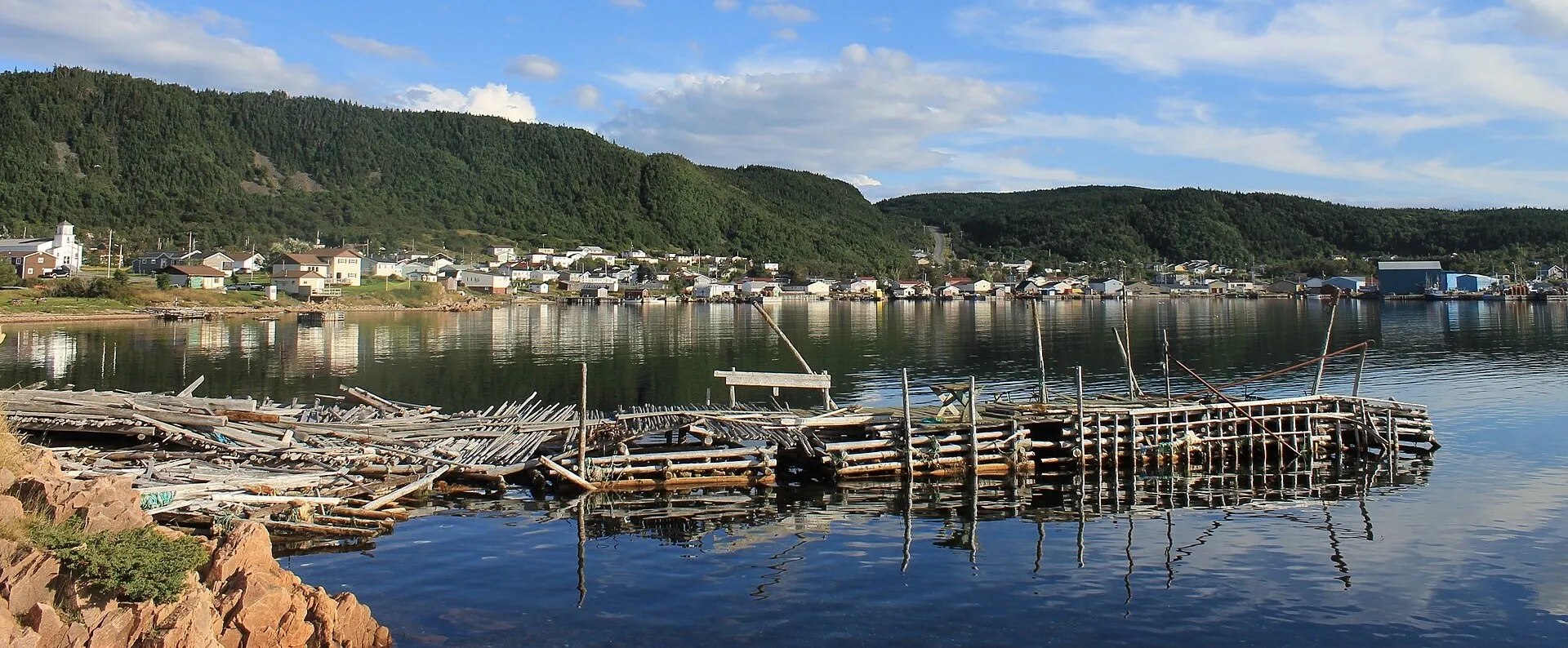
Cape St. George188 km
You land at Deer Lake and Cape St. George is 188 km southwest, through Stephenville to the island's French Shore, where Newfoundland speaks French and the cliffs face Quebec.
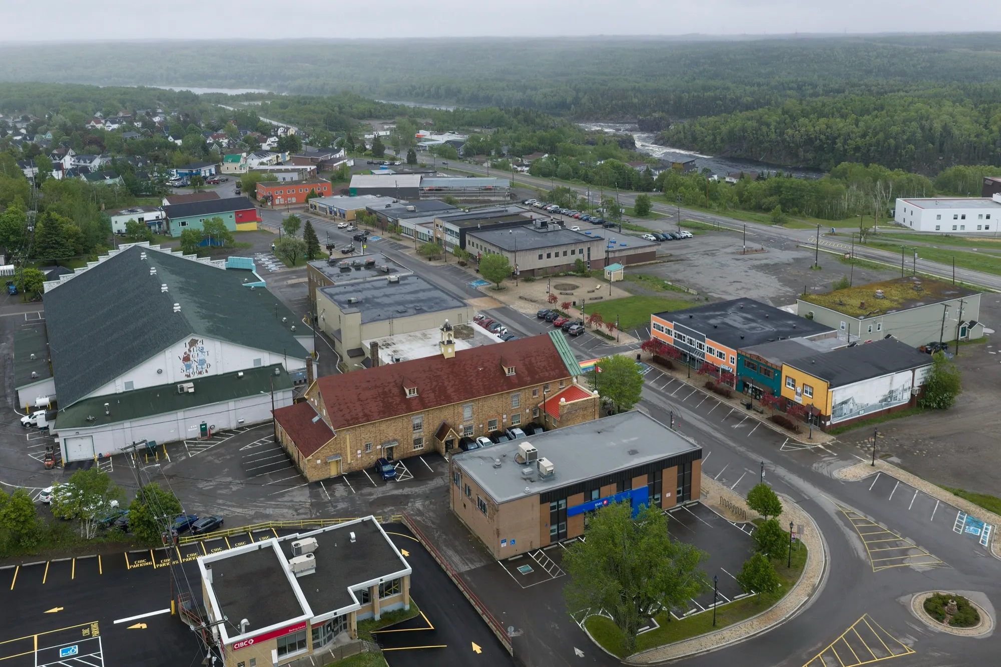
La Scie208 km
The province's northernmost named iceberg viewing spot on this coast: 208 km from Deer Lake, and further from Gander.
Grand Falls-Windsor213 km
212.8 km east on the Trans-Canada (Route 1). Gander is far closer for this town.
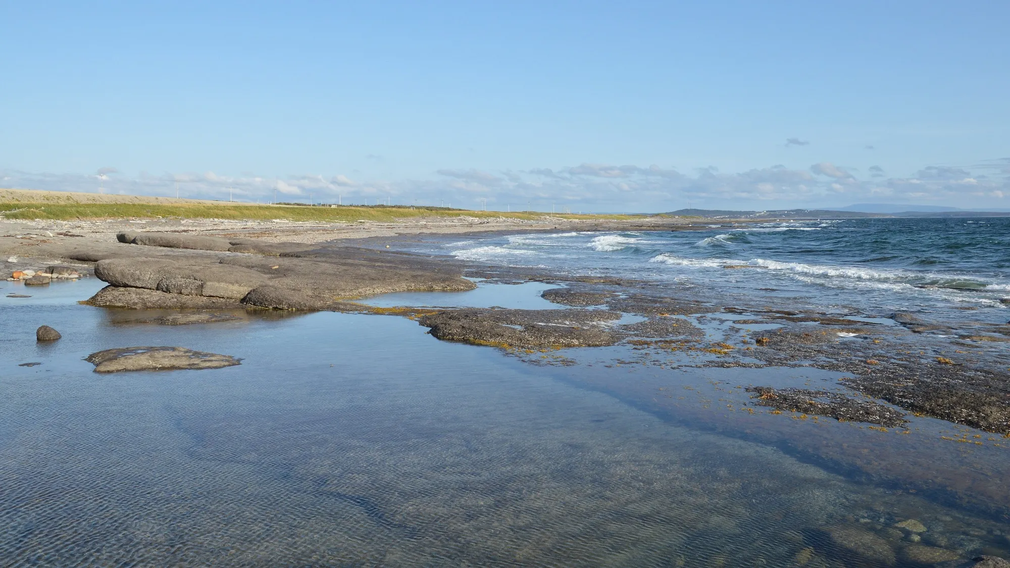
Port au Choix236 km
You land at Deer Lake and Port au Choix is 236 km north, up the Viking Trail to six thousand years of archaeology on one limestone point — with The Arches' sea-carved rock on the way.
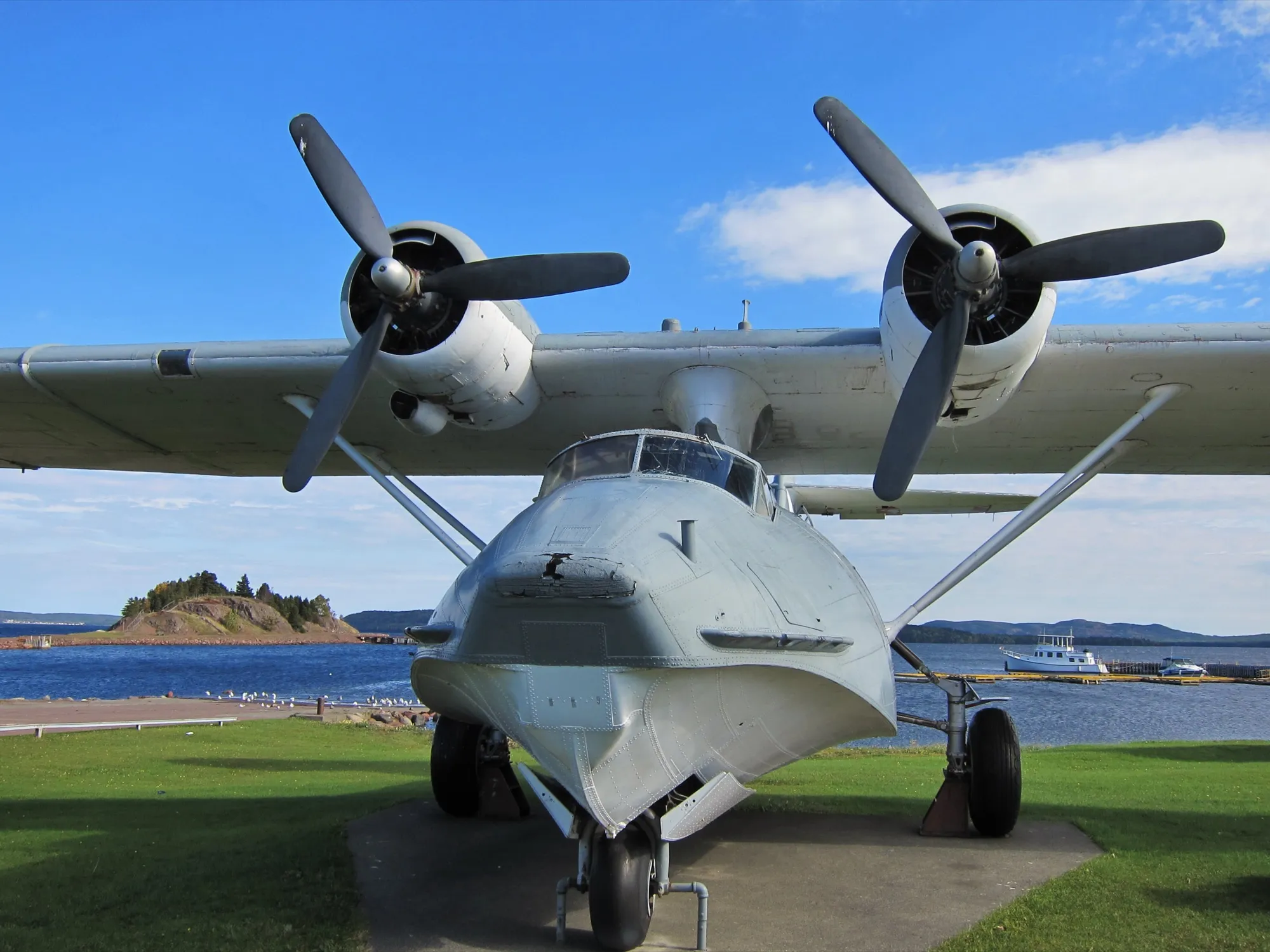
Botwood244 km
Botwood sits across the island from Deer Lake, 244 km east on the Trans-Canada, then Route 350 north. From Gander it is far closer.
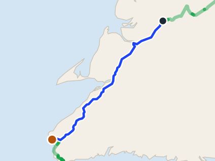 route map
Codroy Valley245 km
Codroy Valley is 245.2 km from Deer Lake airport by road, on Routes 1, 406 and 407.
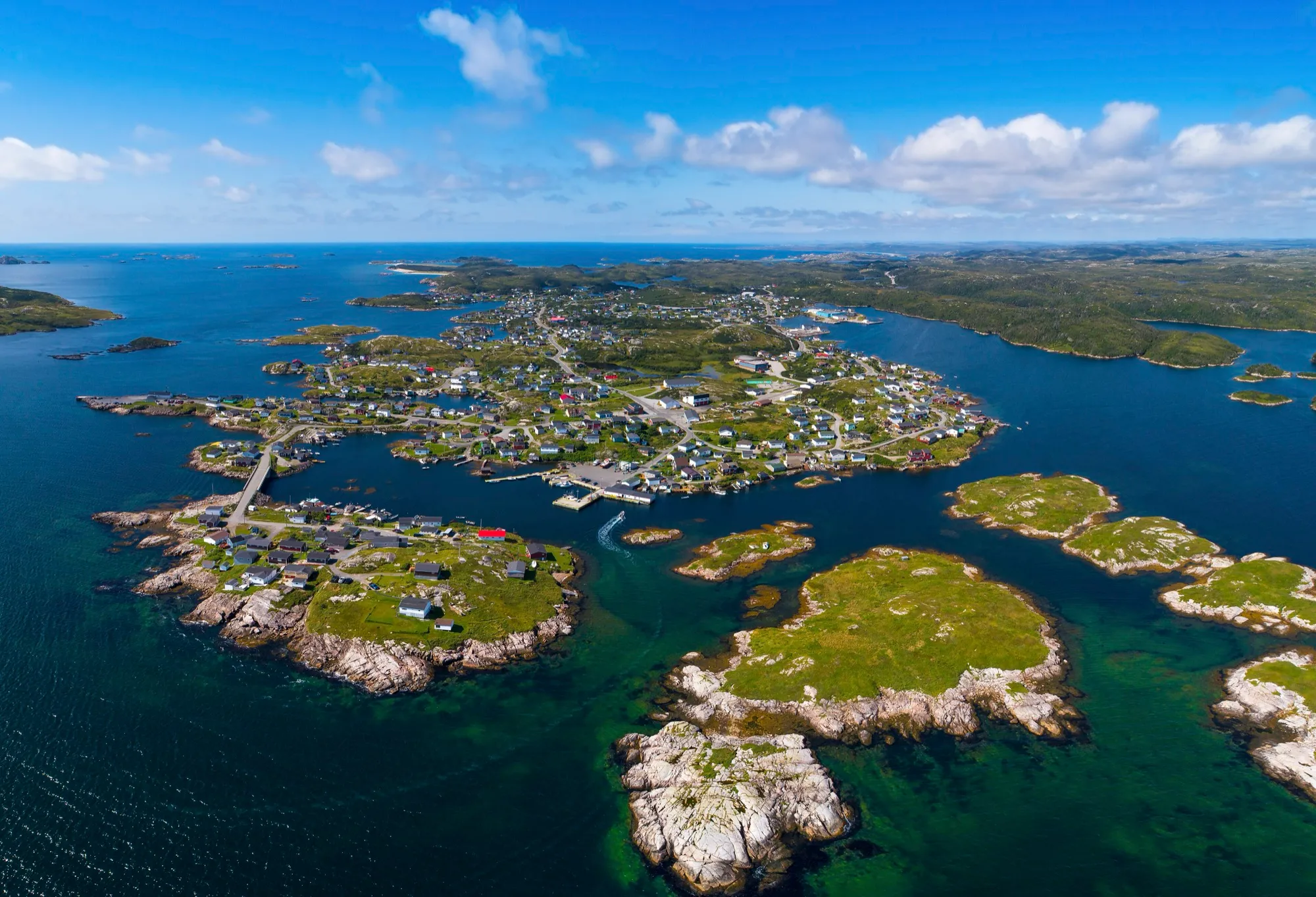
Burgeo266 km + ferry
Deer Lake airport to Burgeo is 266 km south, most of it Route 480 through empty country, ending at the Sandbanks' long beaches.
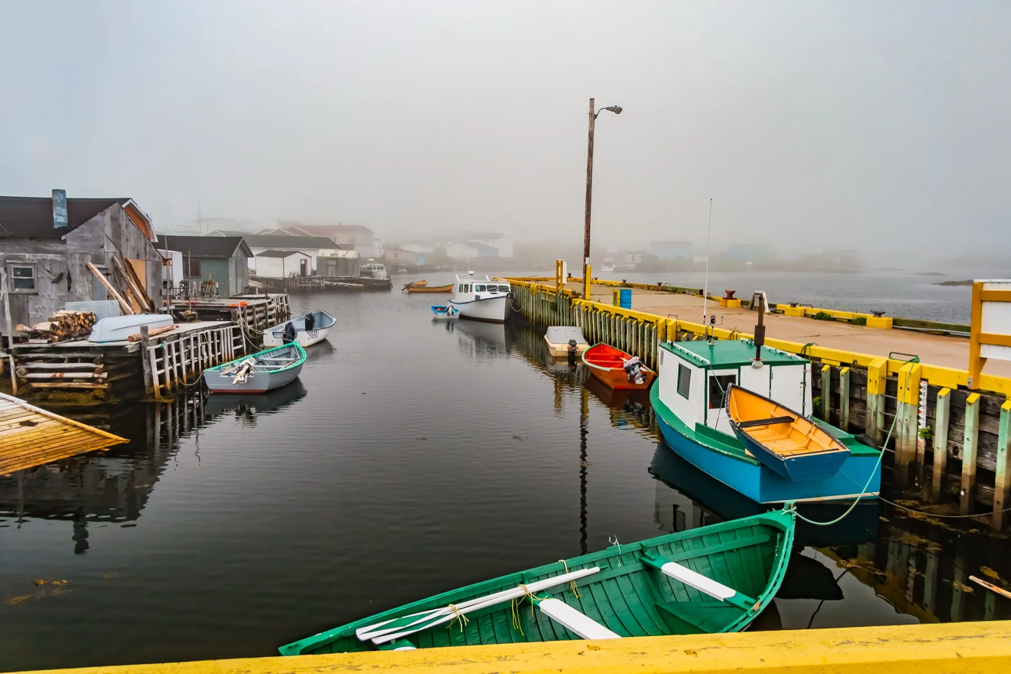
Port aux Basques271 km + ferry
You land at Deer Lake and Port aux Basques is 271 km southwest, down the whole west coast — the Codroy Valley's bird wetlands, Wreckhouse's famous wind, and the island's year-round ferry terminal at the end.
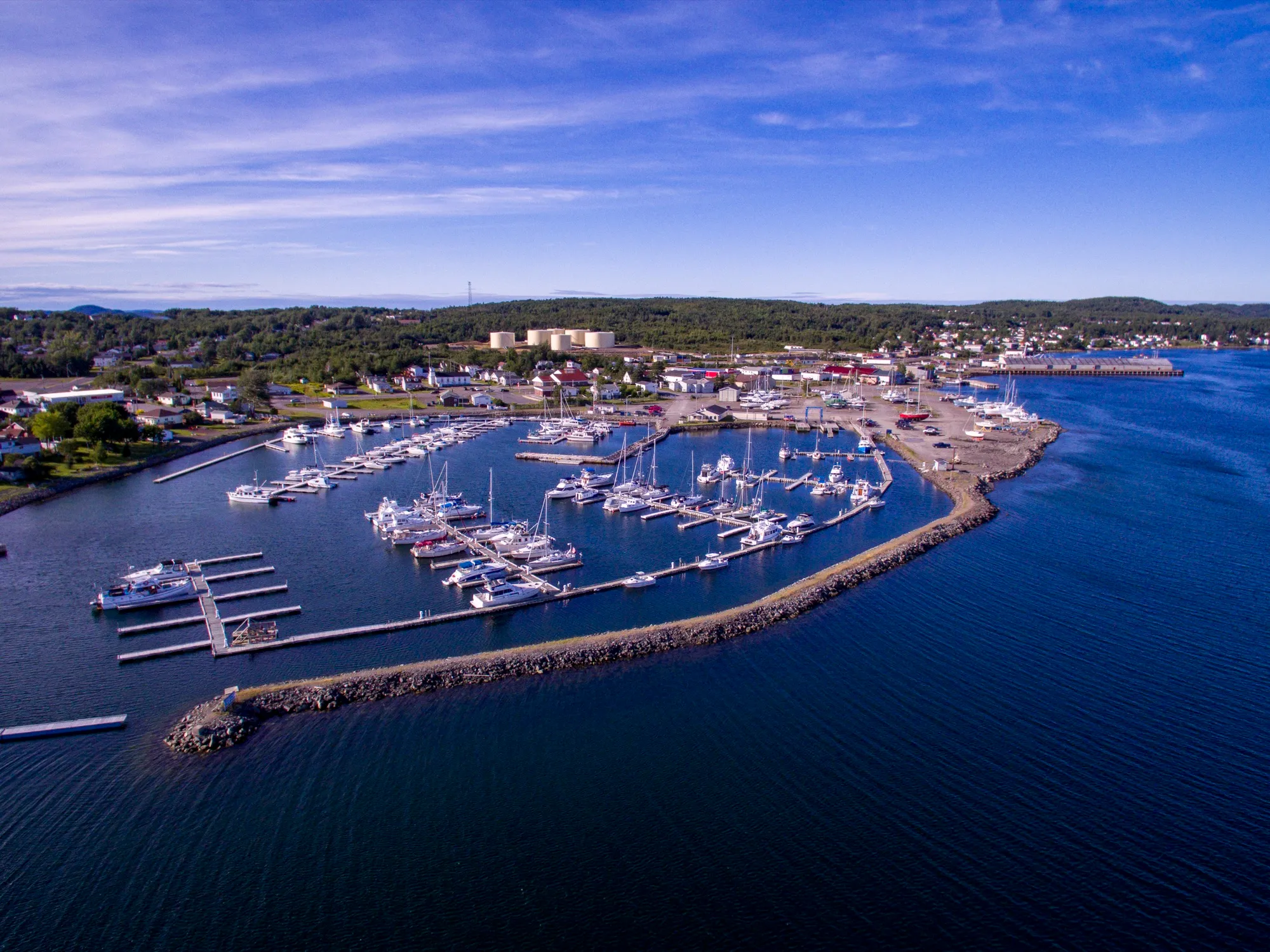
Lewisporte276 km
Lewisporte sits across the island from Deer Lake: 276 km east on the Trans-Canada, then Routes 340 and 341 north. Gander is far closer.
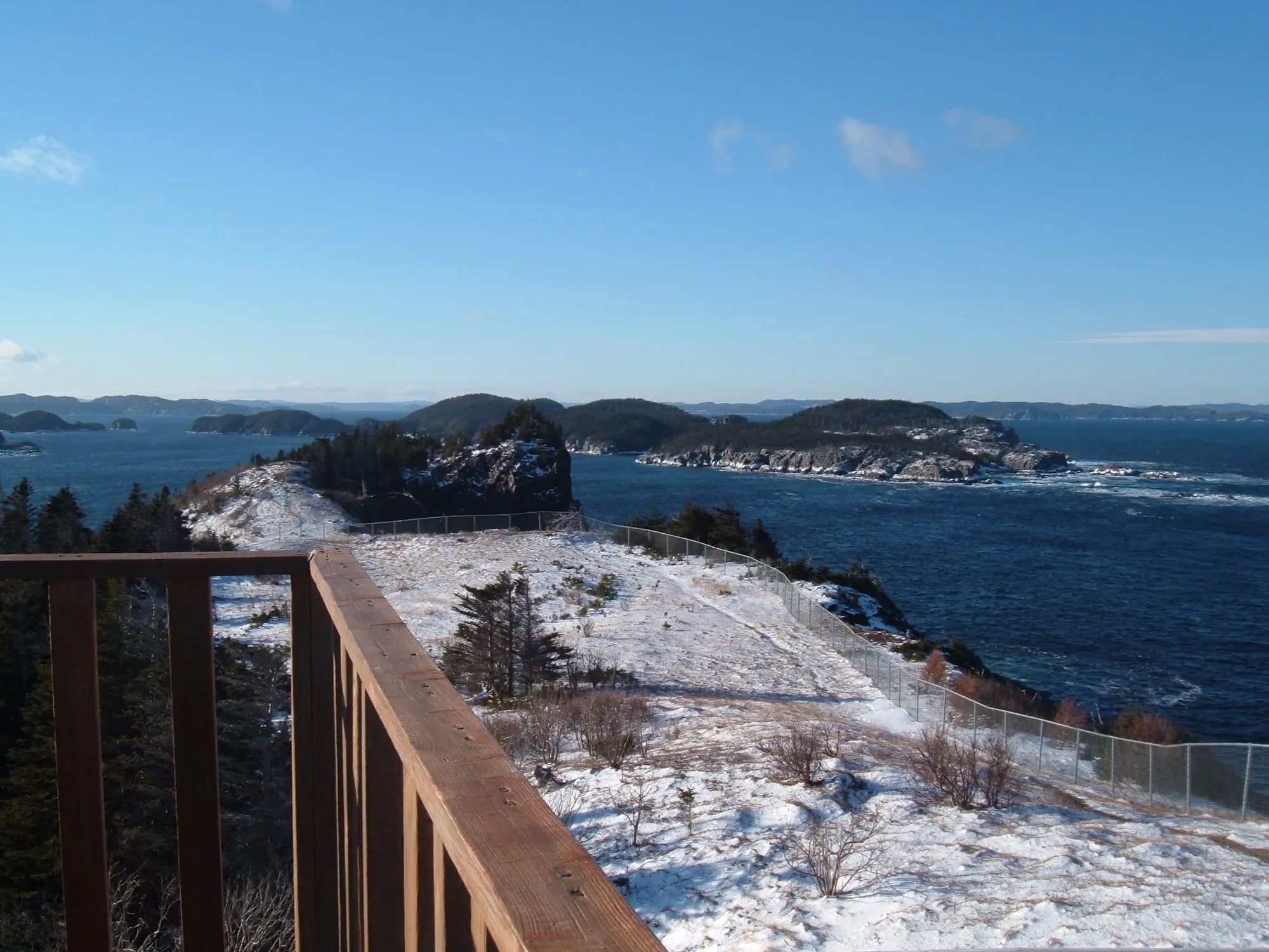
Leading Tickles299 km
Leading Tickles is 298.5 km from Deer Lake airport by road, on Routes 1 and 350.
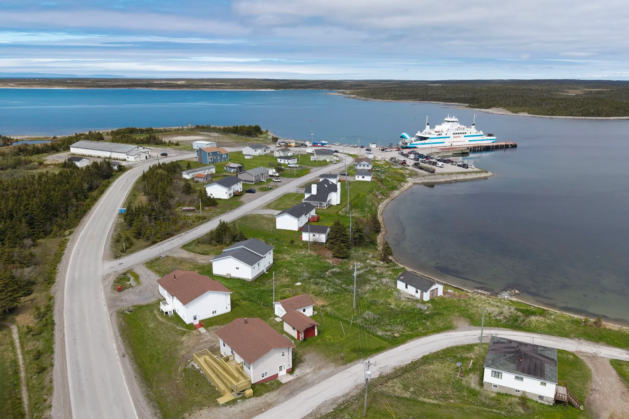
St. Barbe ferry299 km + ferry
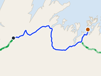
Deer Lake to the St. Barbe slip is 299 km up Route 430: the drive to the ferry for Labrador.
 route map
Comfort Cove-Newstead303 km
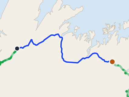
Comfort Cove-Newstead is 303.3 km from Deer Lake: the Trans-Canada east across the island, then Routes 340 and 343. Gander is far closer.
 route map
Gander305 km
Gander is 304.8 km from Deer Lake airport by road, on Route 1. Gander airport is closer.
Change Islands343 km + ferry
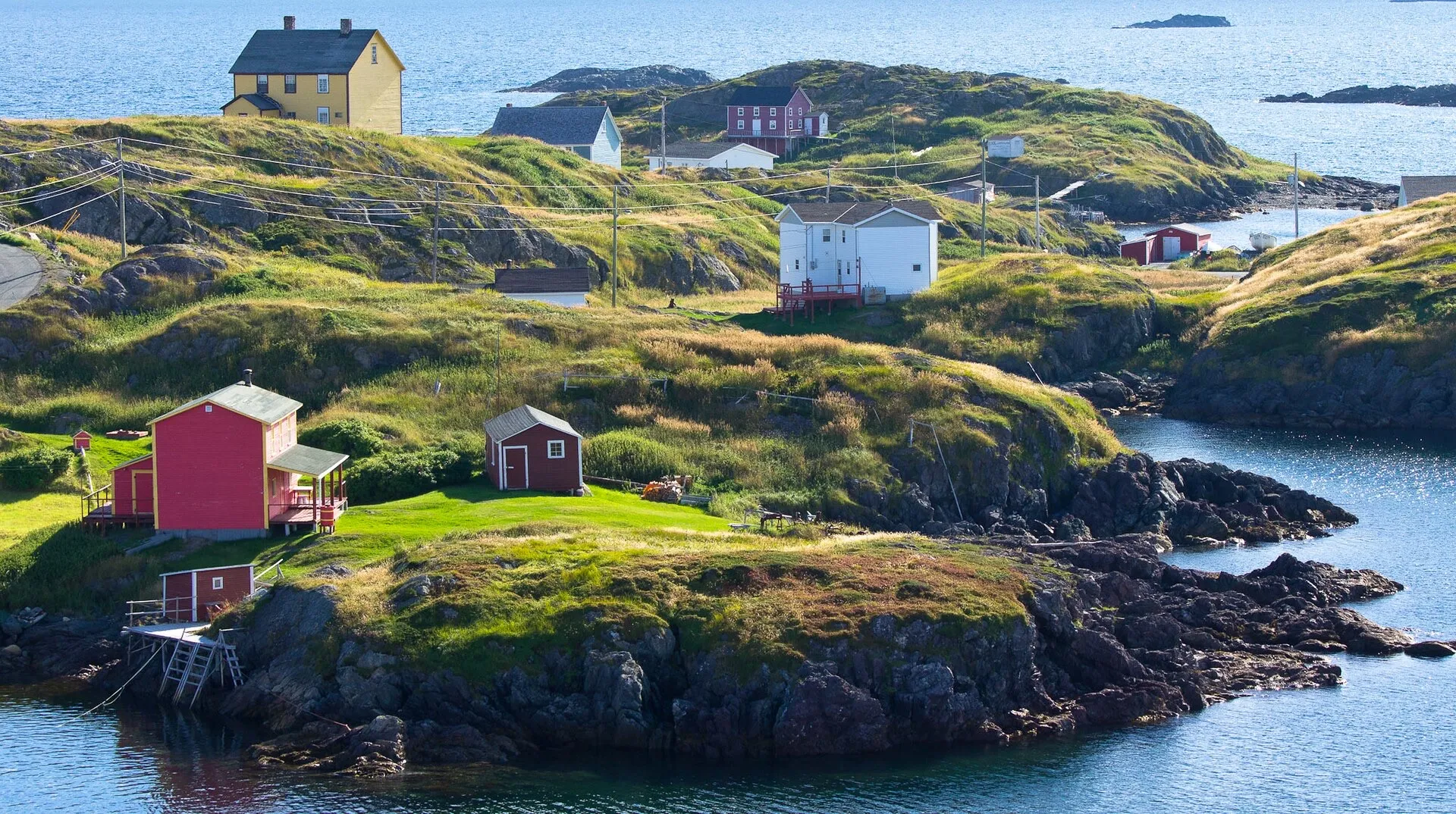
Same drive as the Fogo run, 342 km from Deer Lake airport to the Farewell ferry, but you get off at the first stop instead of the second.
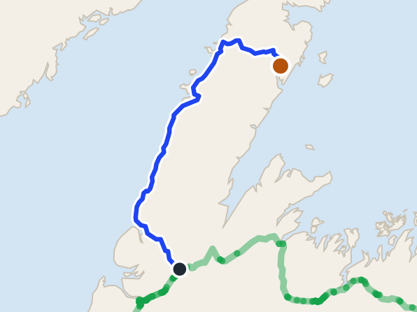
Fogo Island343 km + ferry
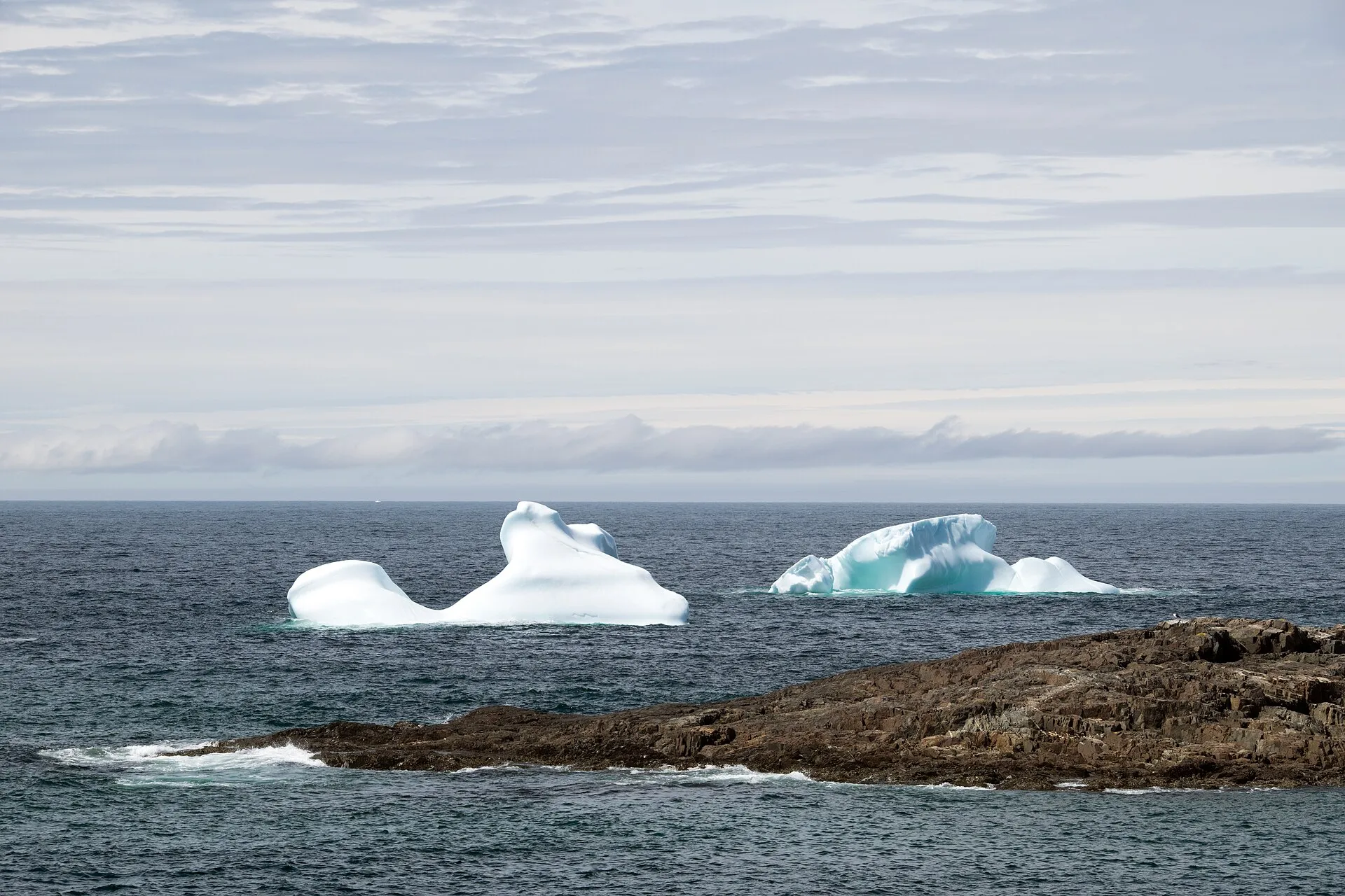
Farewell ferry terminal is 342.5 km from Deer Lake airport by road, on Routes 1, 340, 331 and 335.
 route map
Roddickton352 km
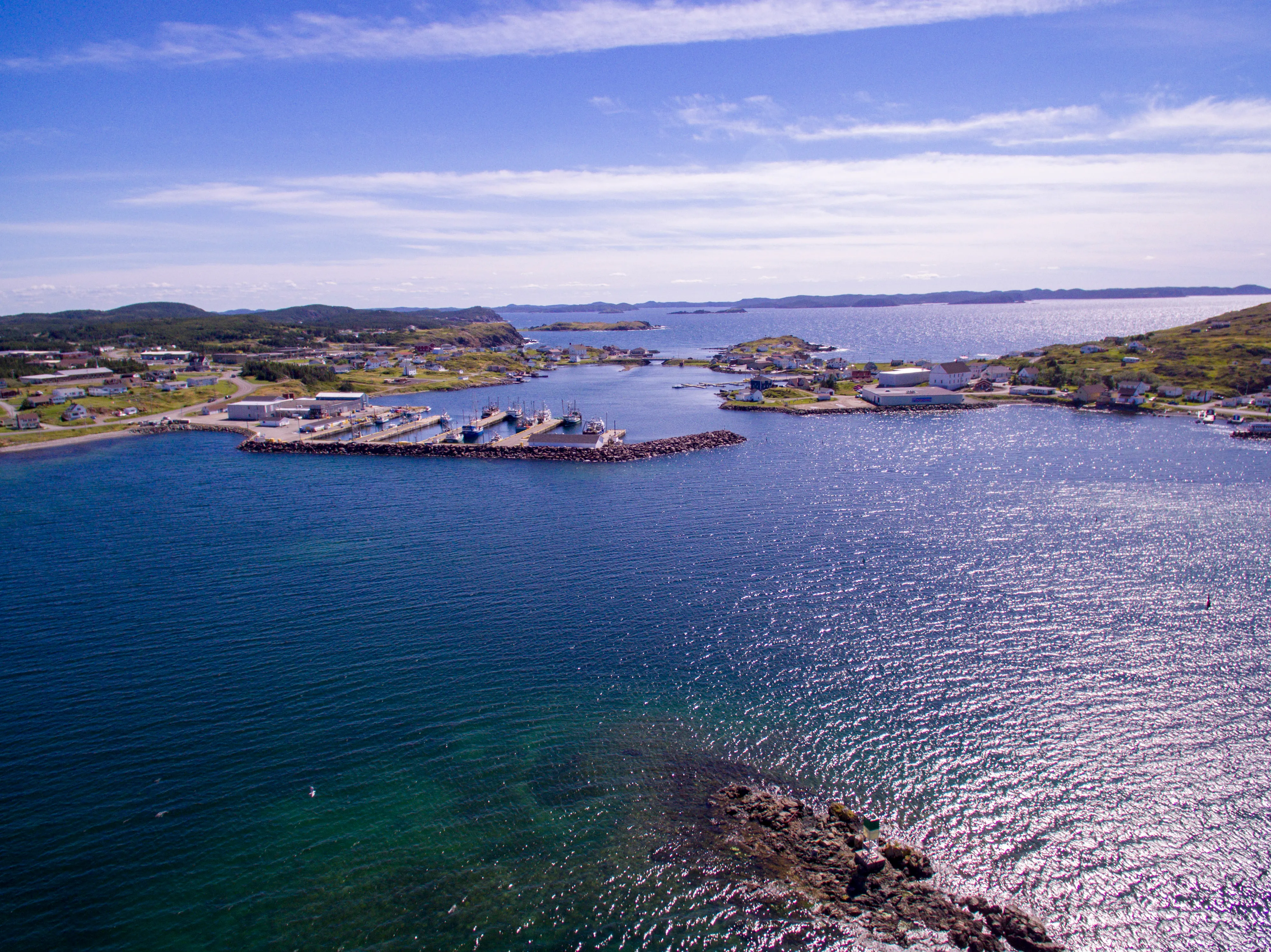
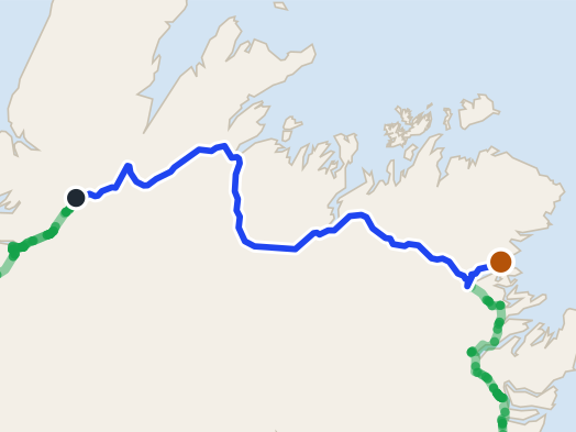
Deer Lake to Roddickton: 351 km by Routes 430, 432 and 433 into Canada Bay — one of the longest drives from Deer Lake.
Twillingate360 km
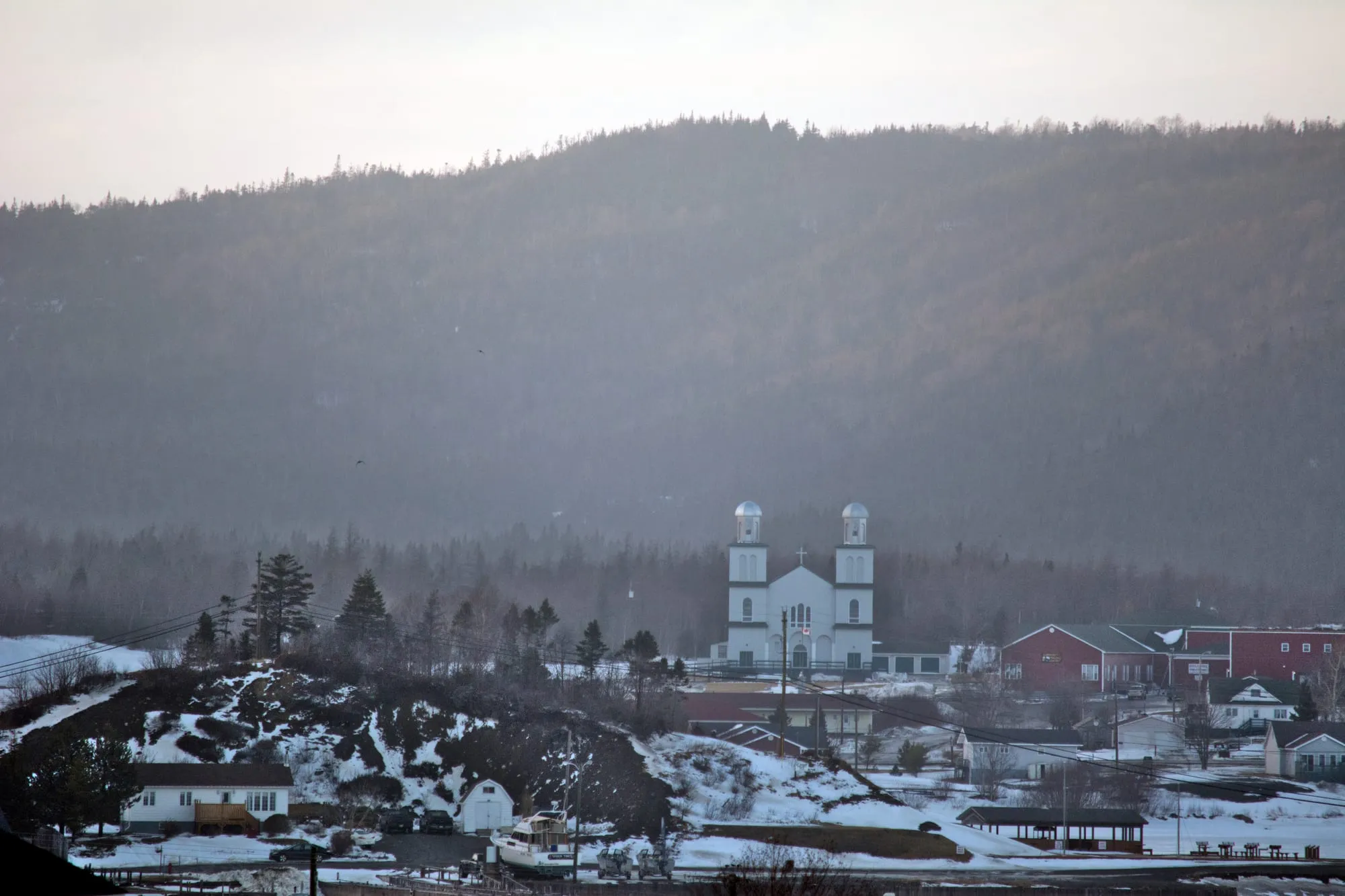
Twillingate is across the island from Deer Lake: 360 km east on the Trans-Canada, then Route 340 north. Gander airport is far closer.
St. Alban's368 km
St. Alban's is 368.3 km from Deer Lake airport by road, on Routes 1, 360 and 361.
 route map
Dover376 km
Dover is 375.7 km from Deer Lake airport by road, on Routes 1 and 320.
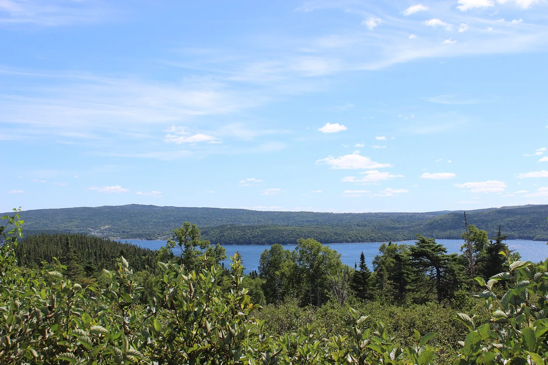
Terra Nova381 km
Terra Nova National Park Visitor Centre is 380.9 km from Deer Lake airport by road, on Route 1.
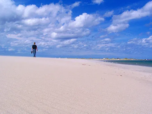
Musgrave Harbour395 km
Musgrave Harbour is 394.8 km from Deer Lake airport by road, on Routes 1 and 330.
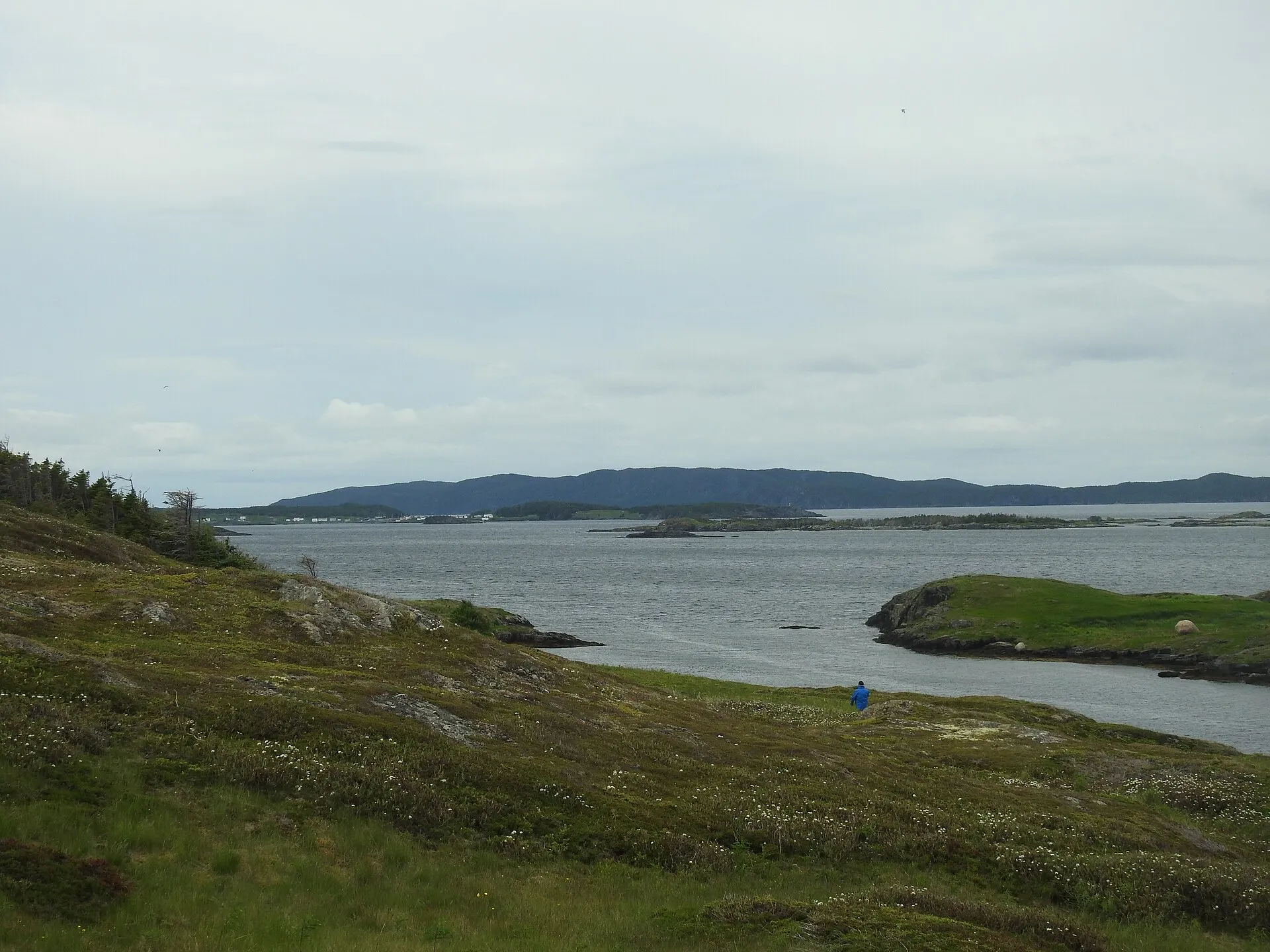
St. Brendan's397 km + ferry
Burnside ferry terminal is 397.4 km from Deer Lake airport by road, on Routes 1 and 310.
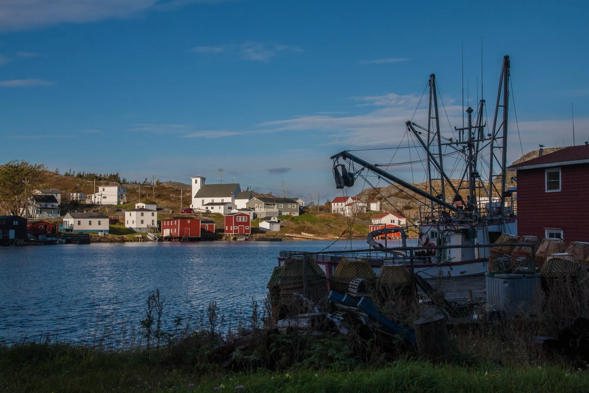
Salvage400 km
Salvage is 400.4 km from Deer Lake airport by road, on Routes 1 and 310.
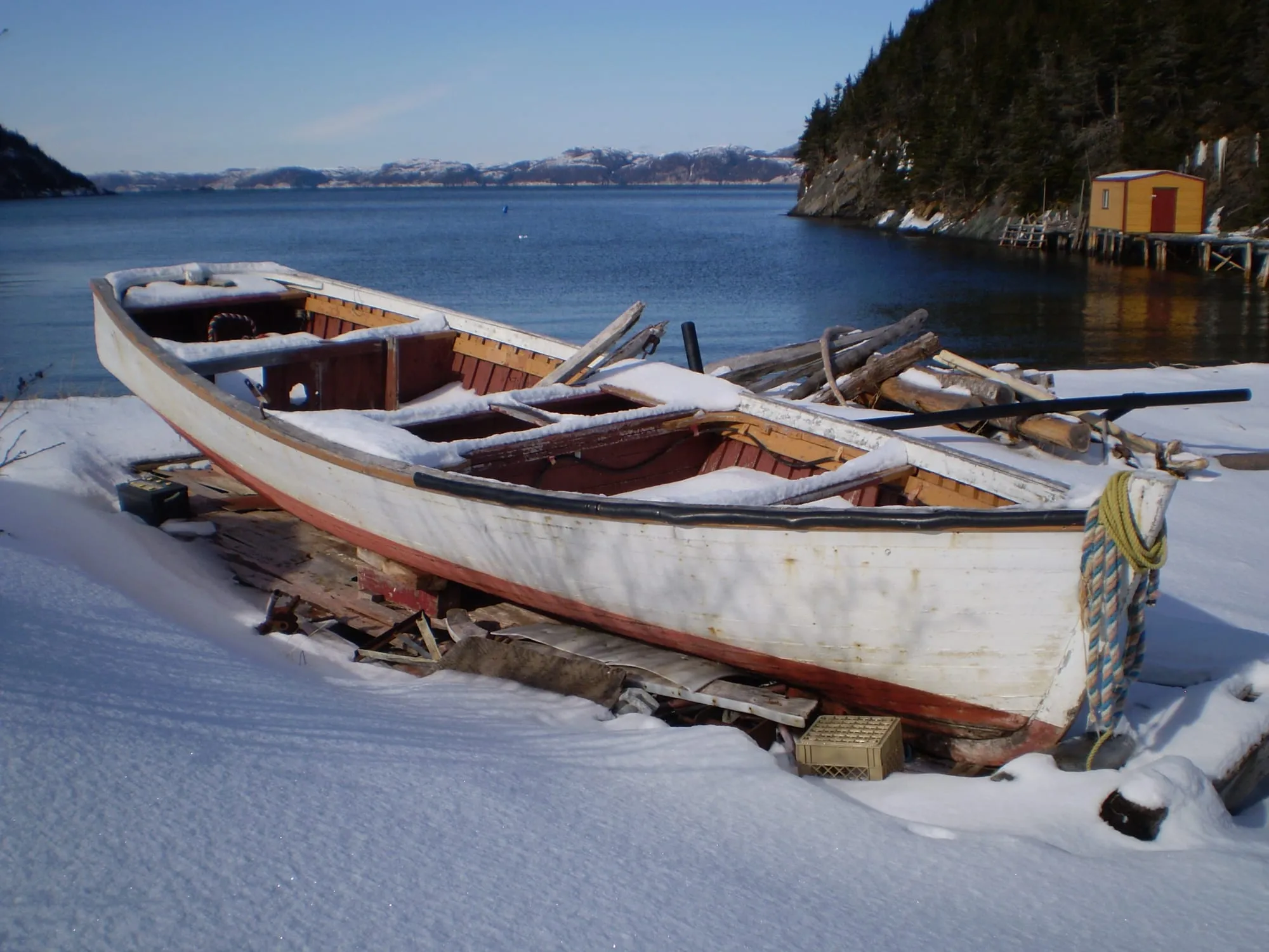
Hermitage410 km + ferry
Hermitage-Sandyville is 409.5 km from Deer Lake airport by road, on Routes 1, 360 and 364.
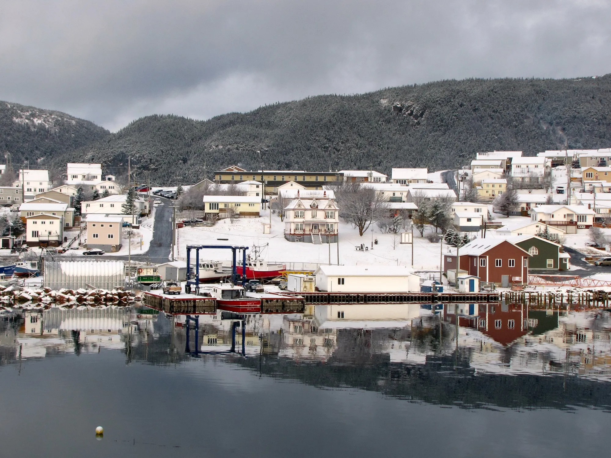
Harbour Breton414 km
Harbour Breton is 413.6 km from Deer Lake airport by road, on Routes 1 and 360.
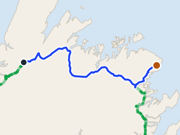 route map
New-Wes-Valley422 km
New-Wes-Valley is 421.7 km from Deer Lake airport by road, on Routes 1 and 320.
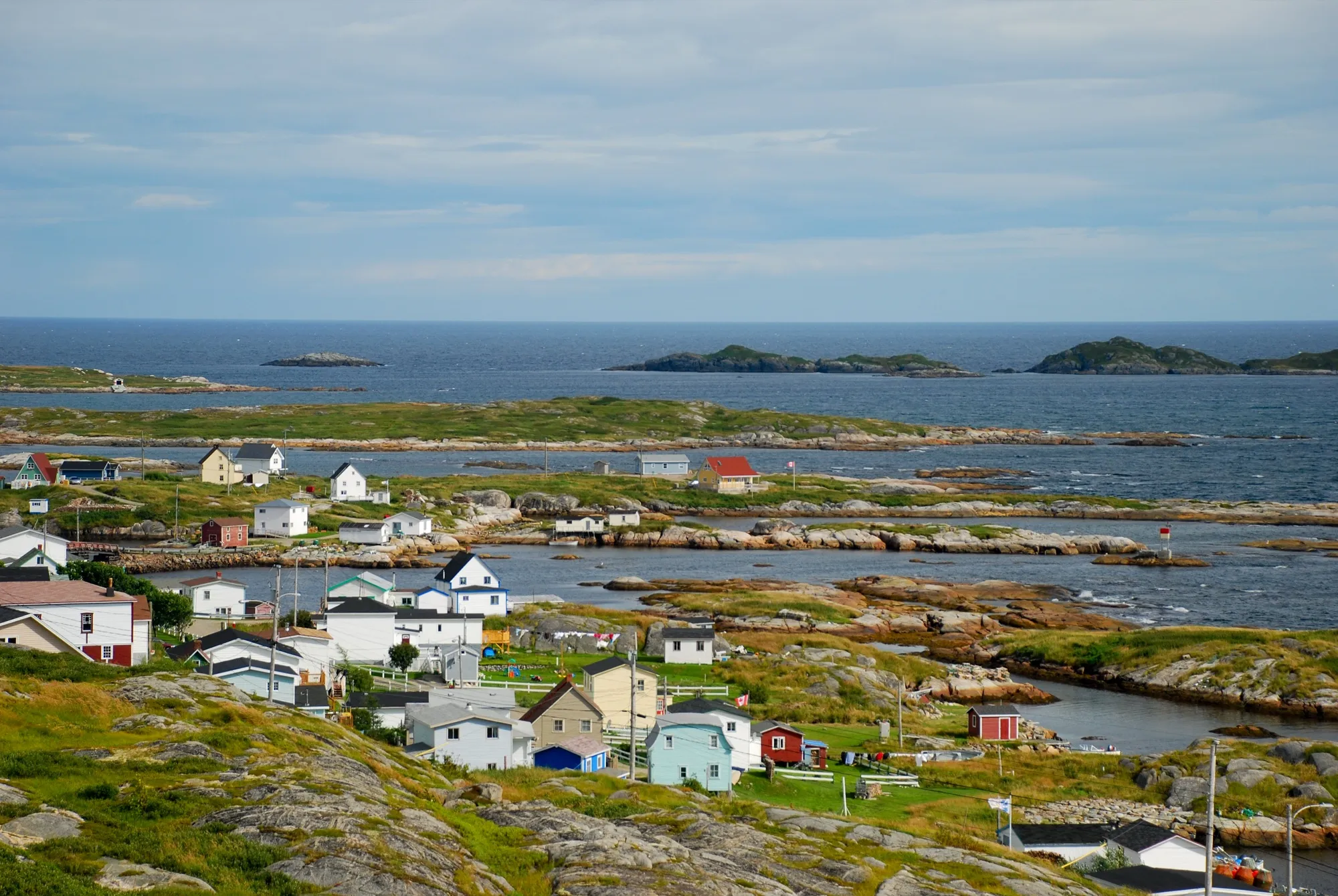
Greenspond428 km
Greenspond is 427.5 km from Deer Lake airport by road, on Routes 1 and 320.
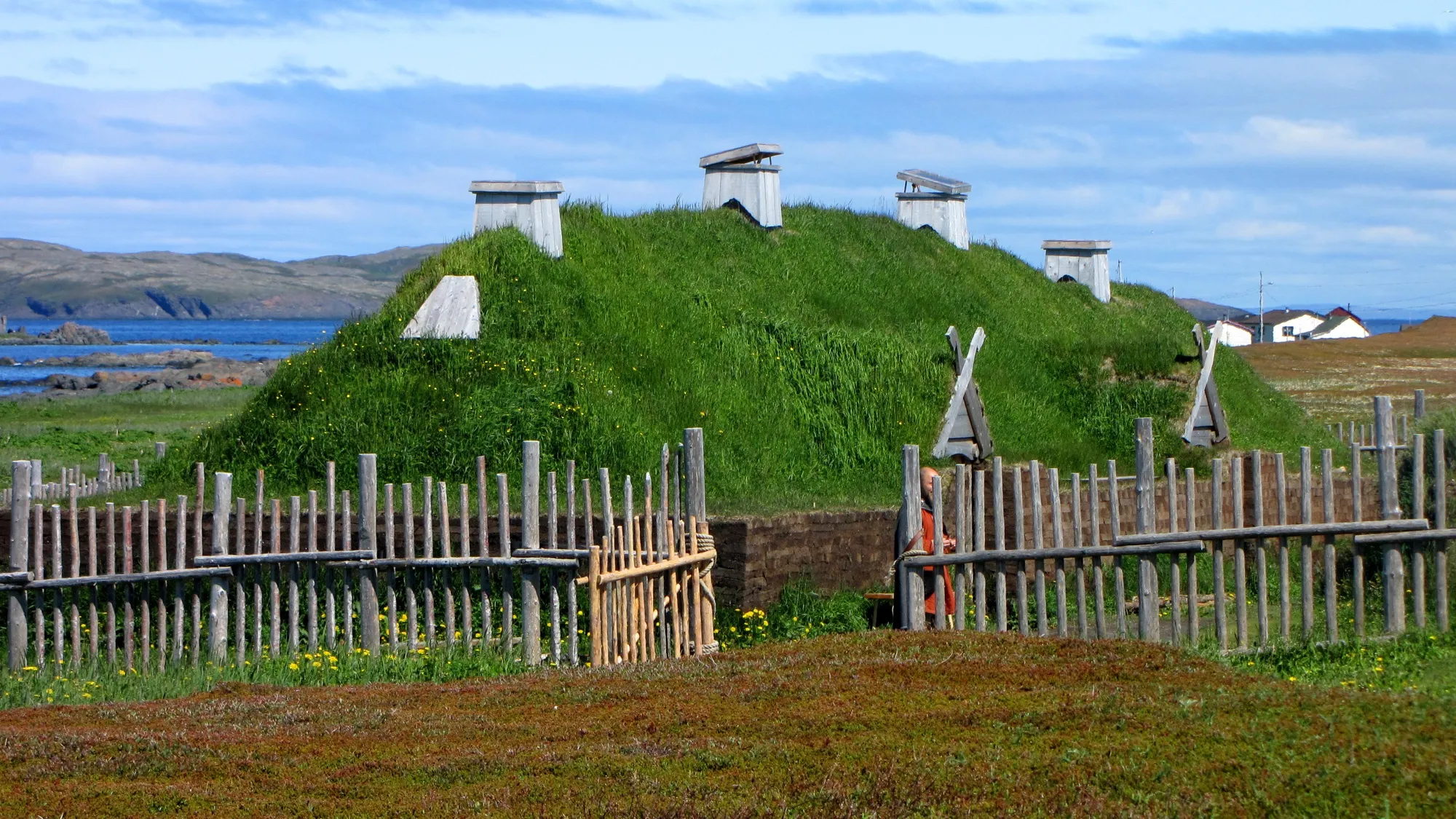
L'Anse aux Meadows436 km
You land at Deer Lake and L'Anse aux Meadows is 436 km north, up Routes 430 and 436: the full Viking Trail, past Gros Morne, to the Norse site at the island's tip.
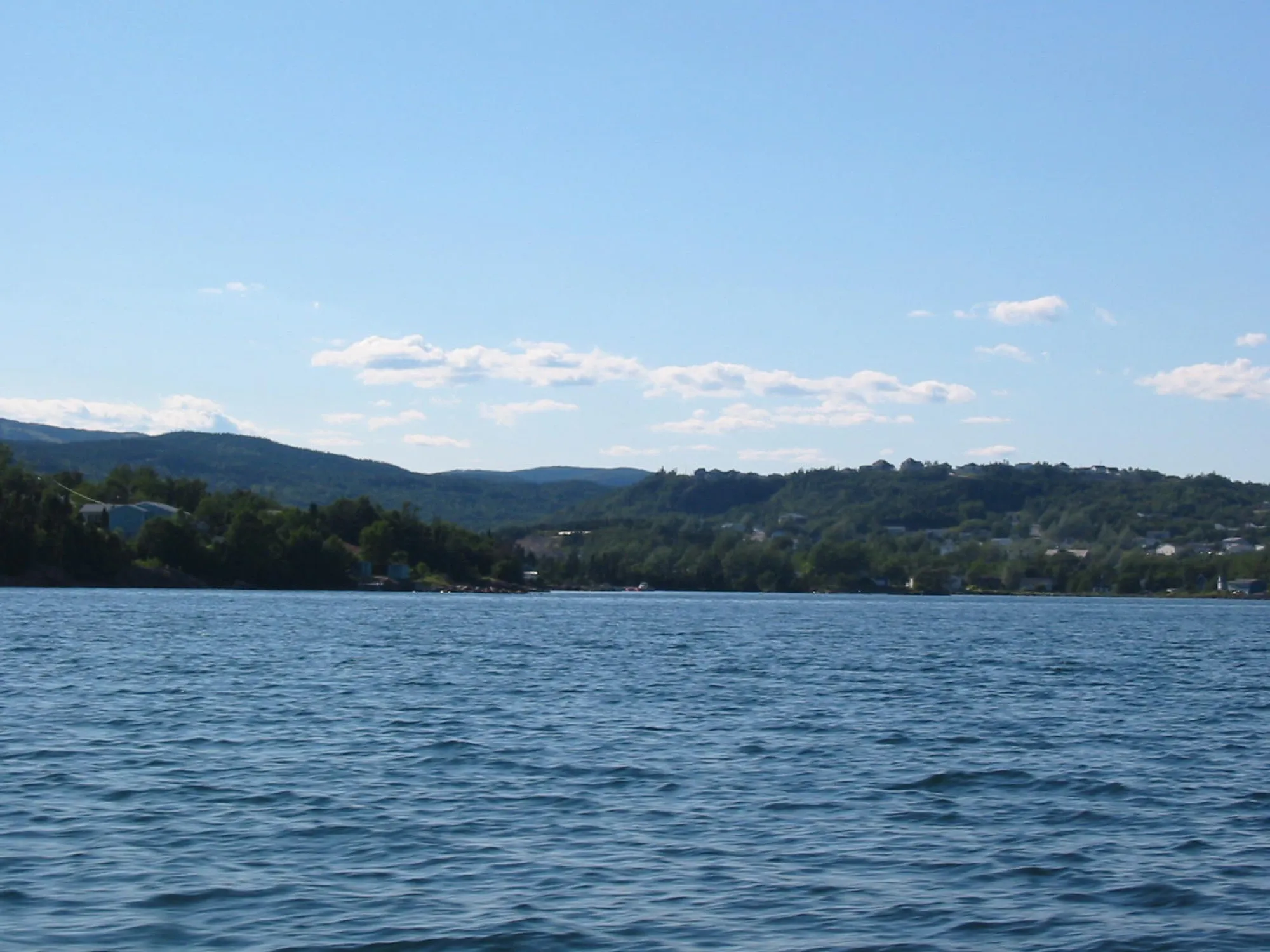
Clarenville450 km
Clarenville is 450.4 km from Deer Lake airport by road, on Route 1.
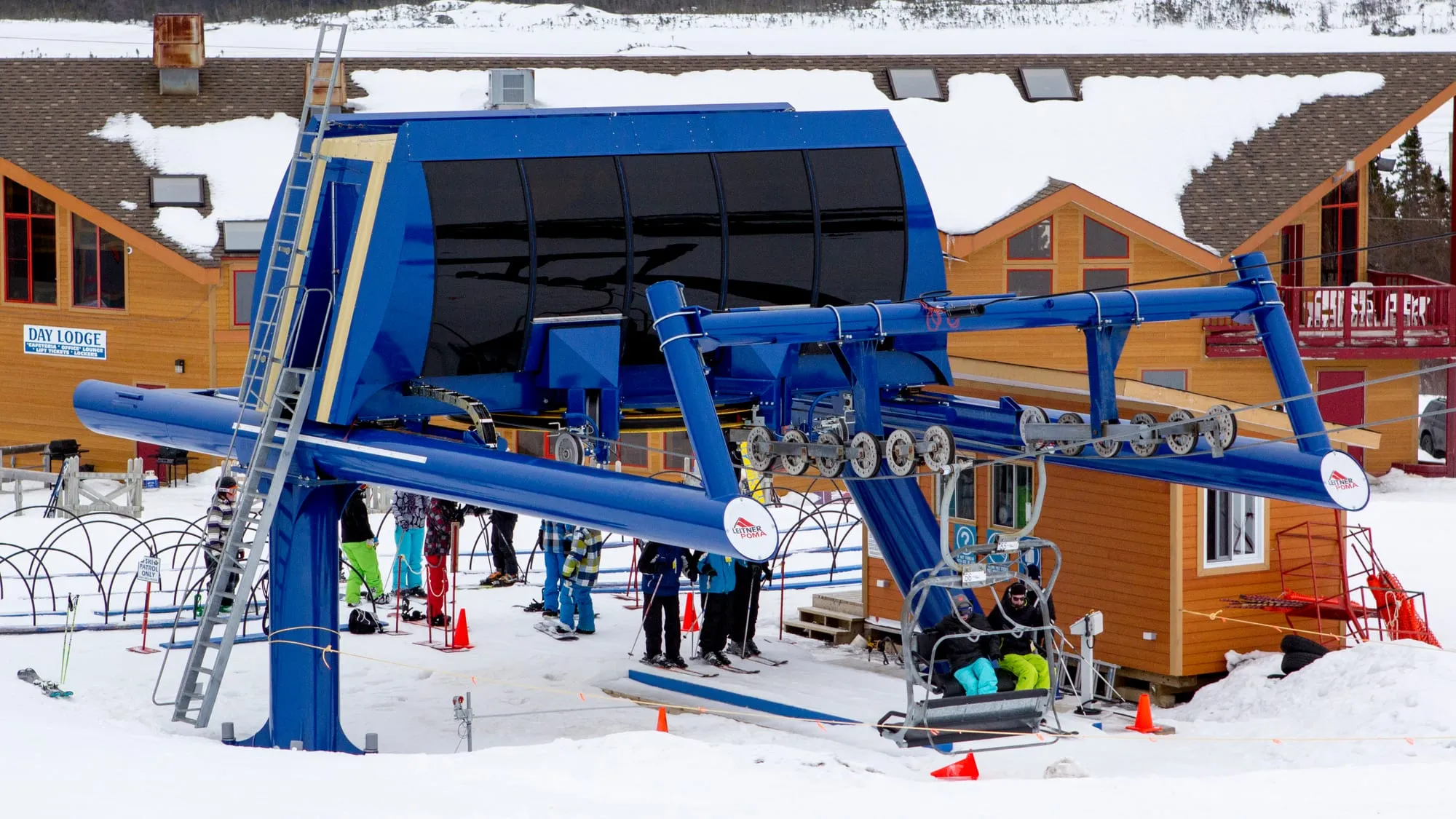
White Hills451 km
White Hills Resort is 451.2 km from Deer Lake airport by road, on Route 1.
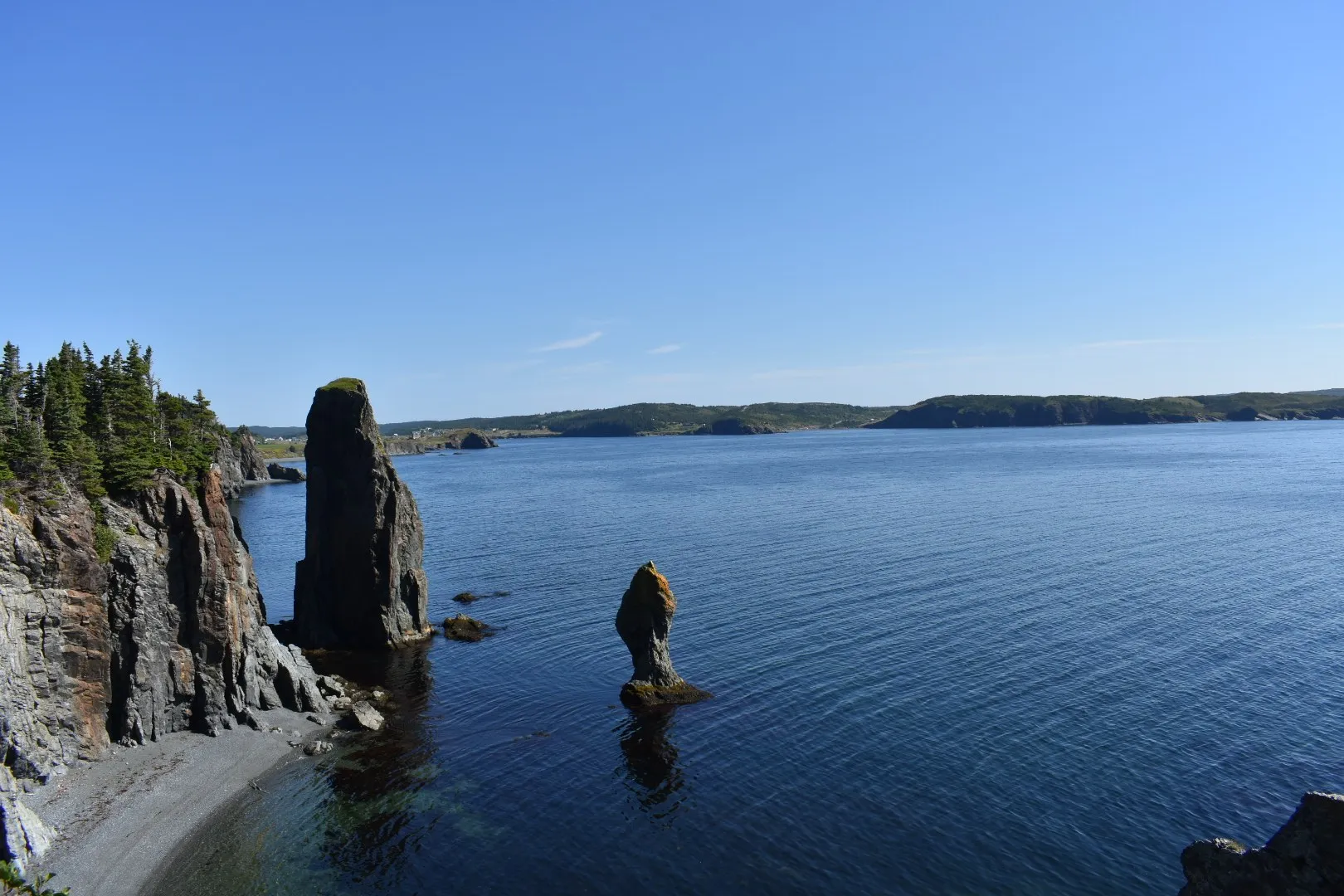
Port Rexton502 km
You land at Deer Lake and Port Rexton is 502 km by road via Routes 1 and 230: the town of the Skerwink Trail, on Trinity Bay.
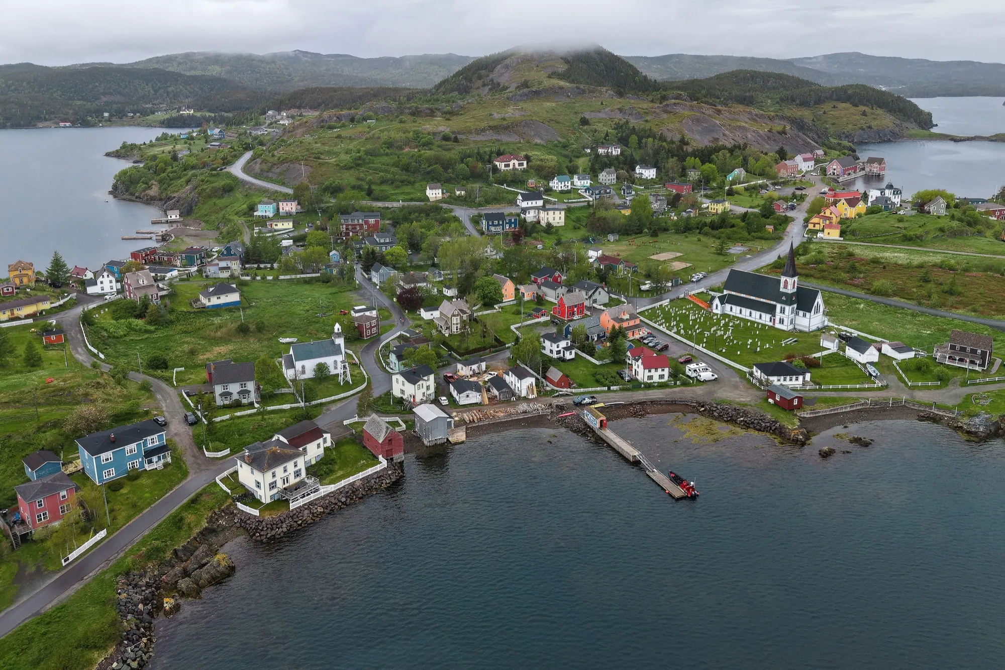
Trinity (Trinity Bay)504 km
Trinity is 503.5 km from Deer Lake airport by road, on Routes 1, 230 and 239.
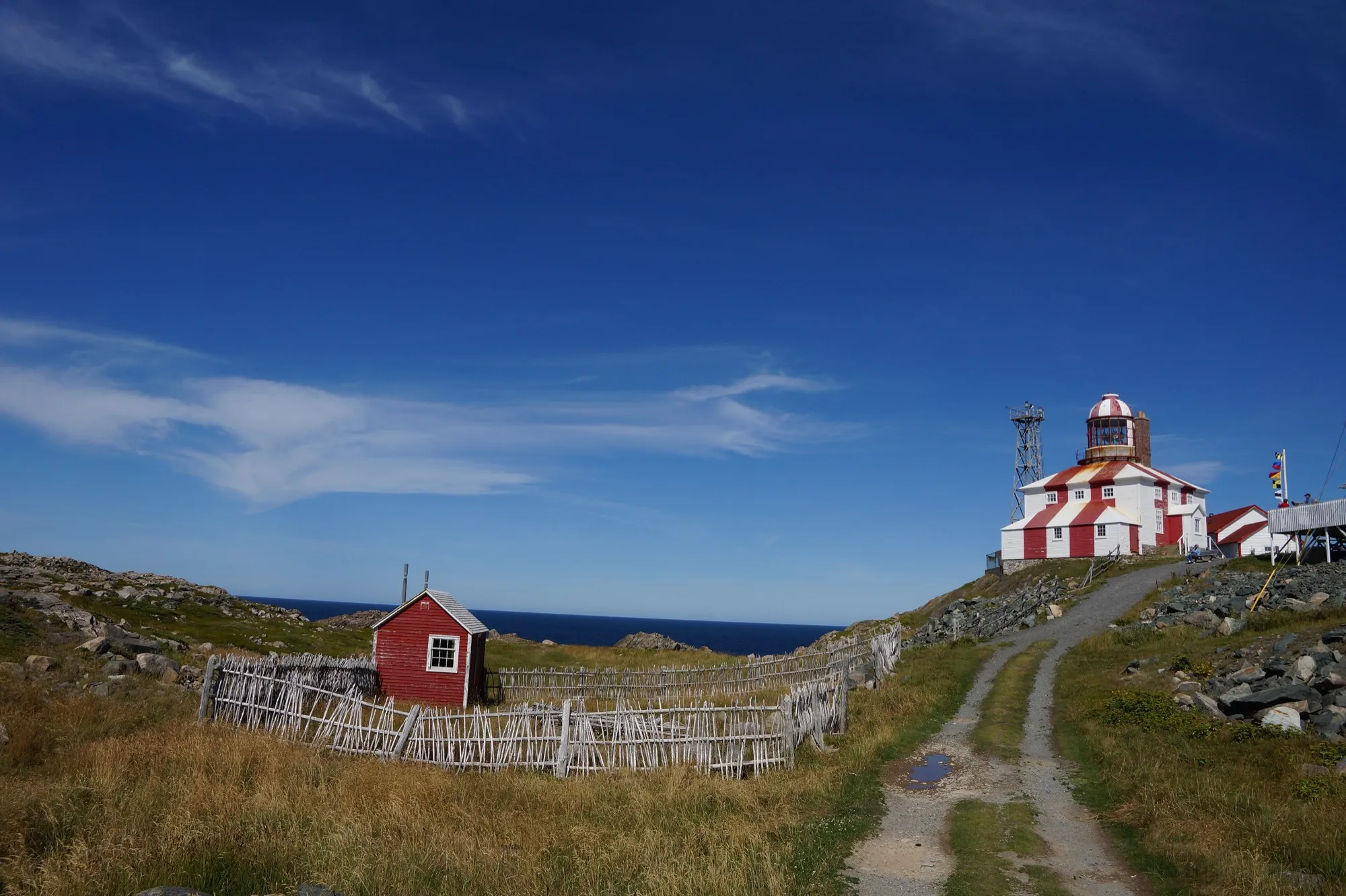
Cape Bonavista551 km
Cape Bonavista Lighthouse is 551 km from Deer Lake airport by road, on Routes 1, 230, 238 and 235.
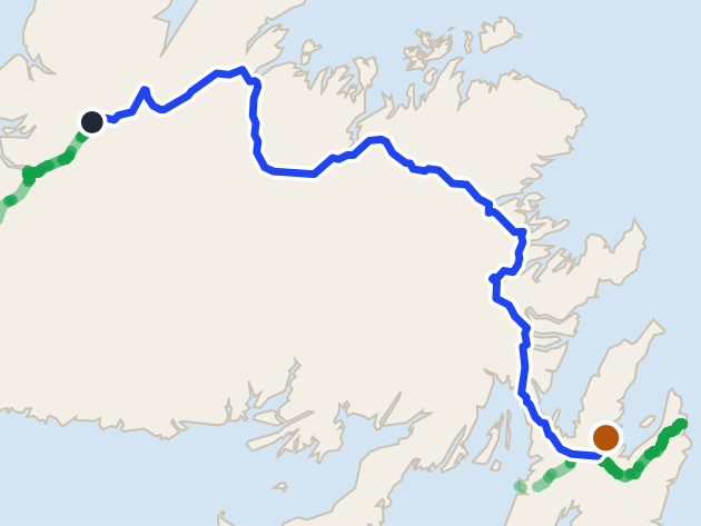 route map
Clarke's Beach583 km
Clarke's Beach is 582.9 km from Deer Lake airport by road, on Routes 1, 71 and 70. St. John's airport is closer.
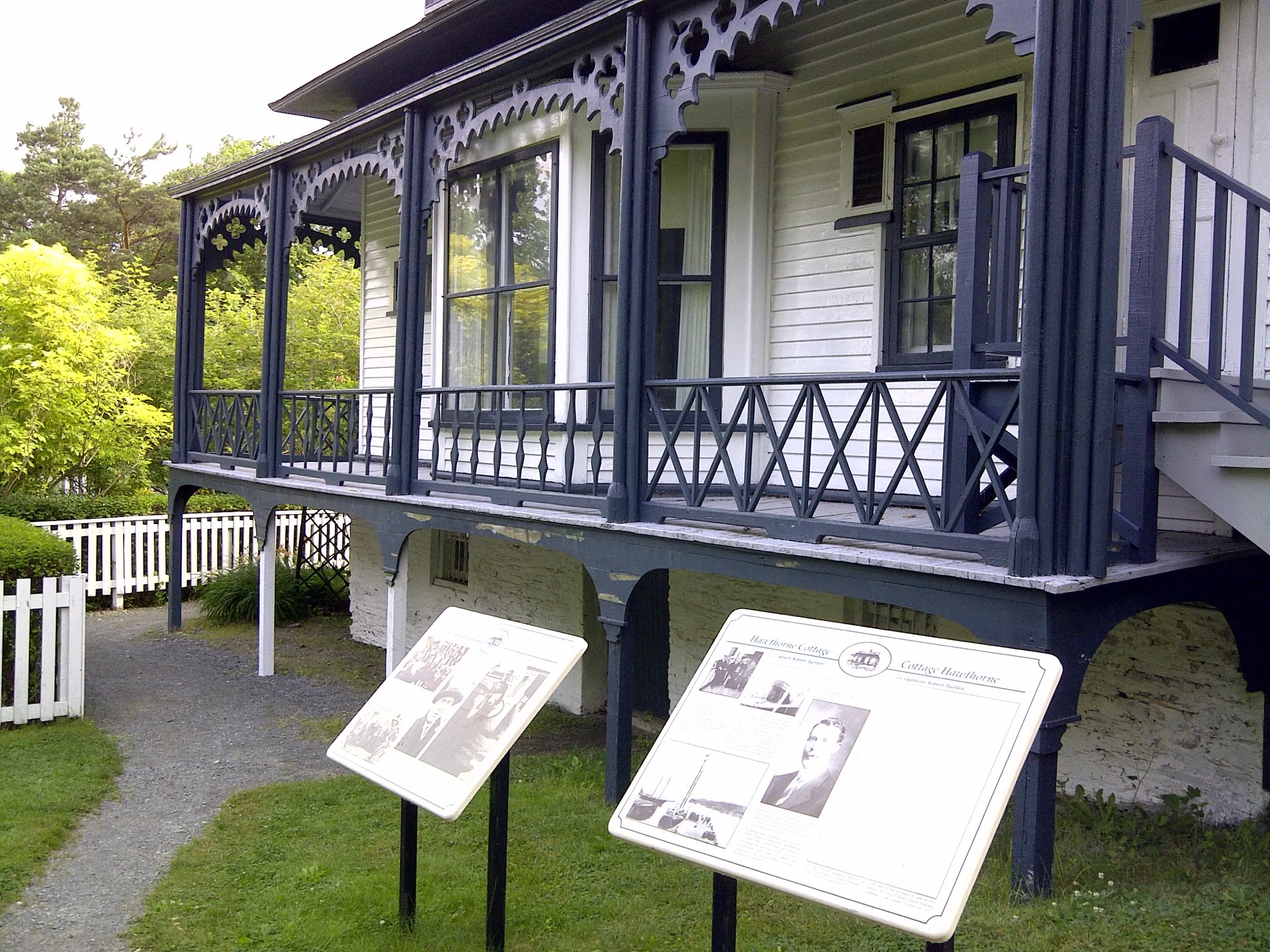
Brigus583 km
Brigus is 583 km from Deer Lake airport by road, on Routes 1, 71, 70 and 60.
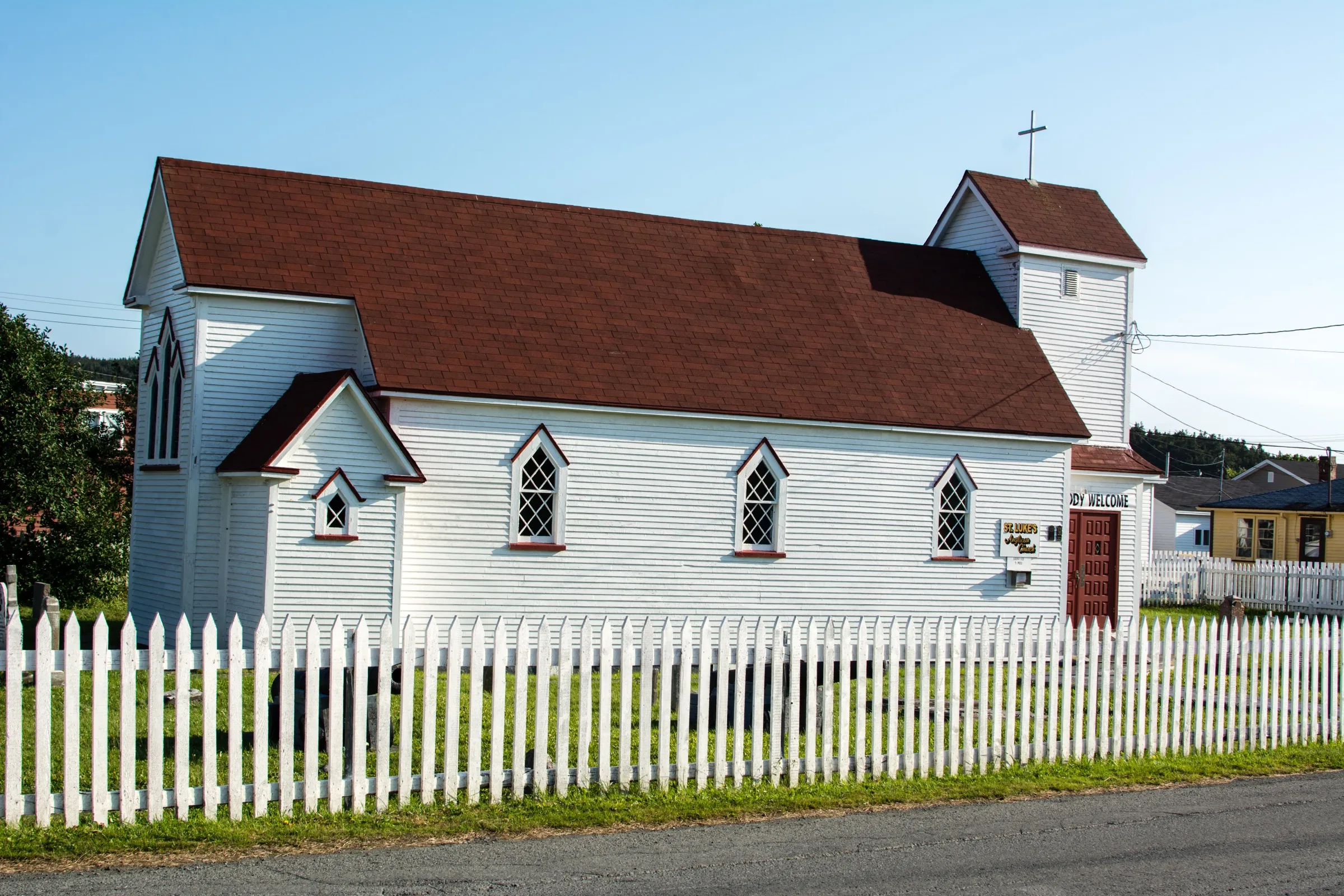
Placentia593 km
Placentia is 592.9 km from Deer Lake airport by road, on Routes 1 and 100.
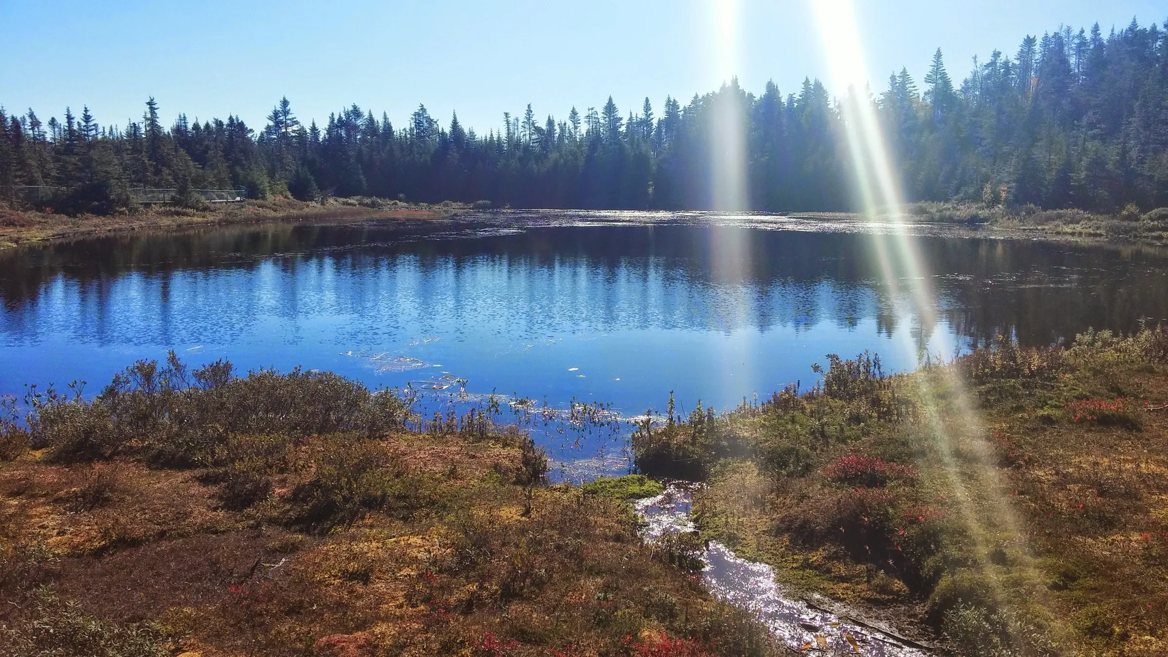
Salmonier Nature Park595 km
Salmonier Nature Park is 594.6 km from Deer Lake airport by road, on Routes 1 and 90.
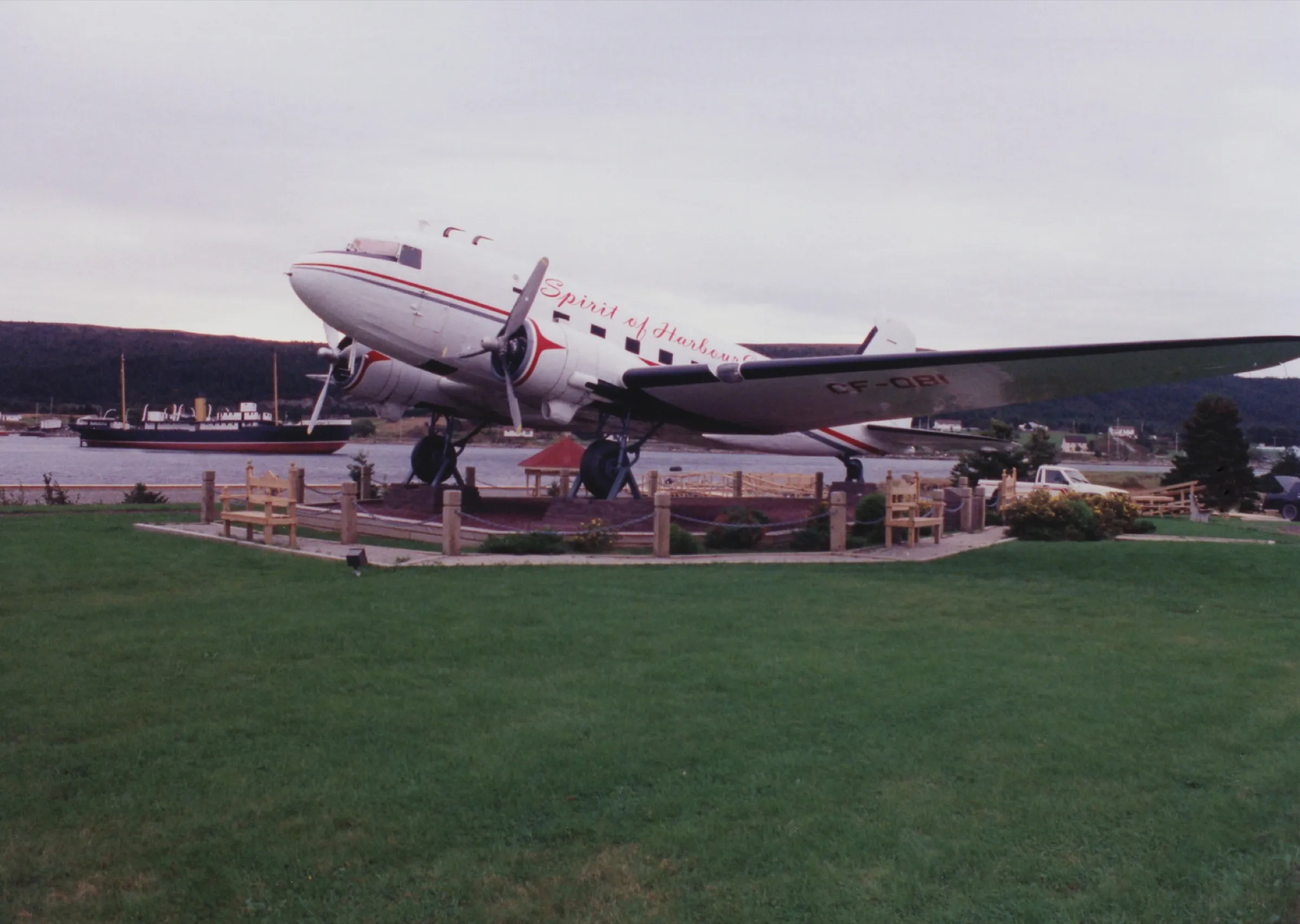
Harbour Grace601 km
Harbour Grace is 601.2 km from Deer Lake airport by road, on Routes 1, 71, 75 and 70.
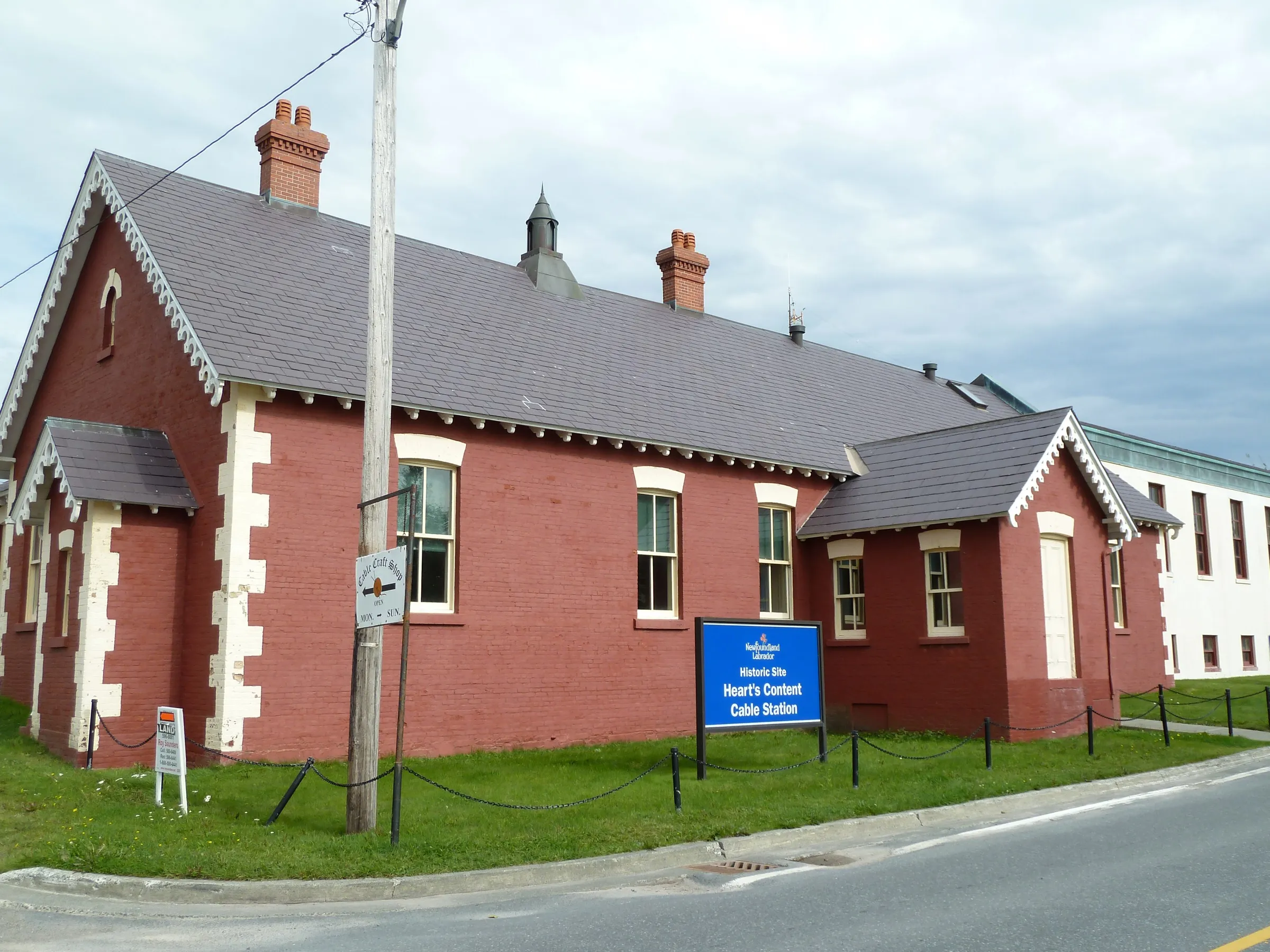
Heart's Content612 km
Heart's Content is 611.5 km from Deer Lake airport by road, on Routes 1, 81 and 80.
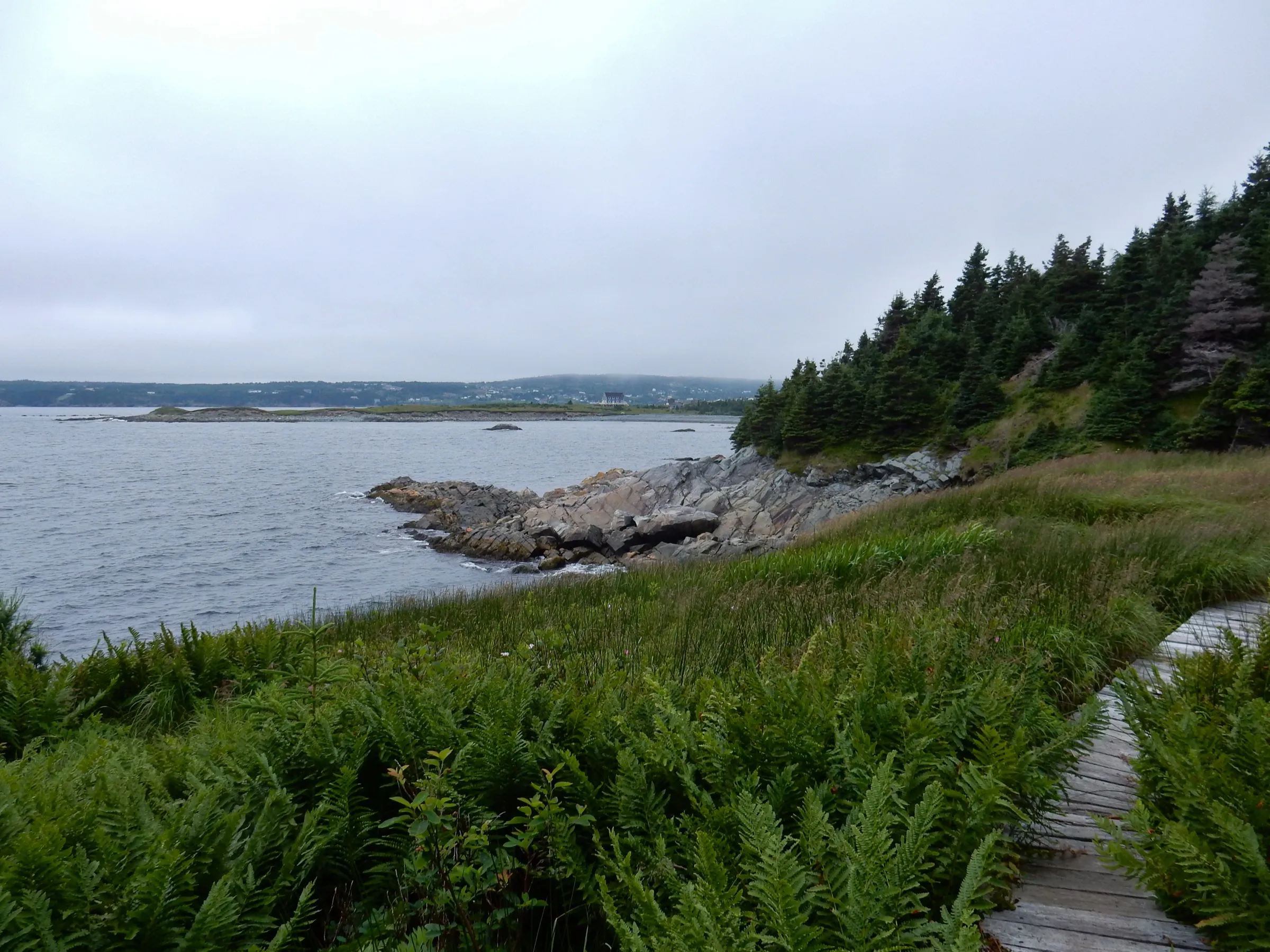
Witless Bay619 km
Witless Bay is 619.4 km from Deer Lake airport by road, on Routes 1, 13 and 10.
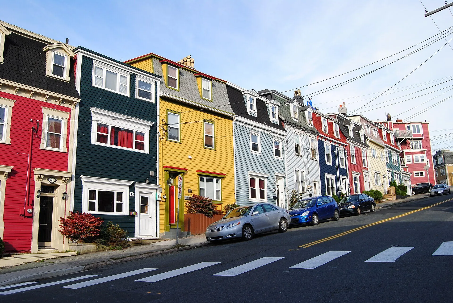
St. John's638 km
St. John's is 637.8 km from Deer Lake airport by road, on Routes 1 and 2. St. John's airport is closer.
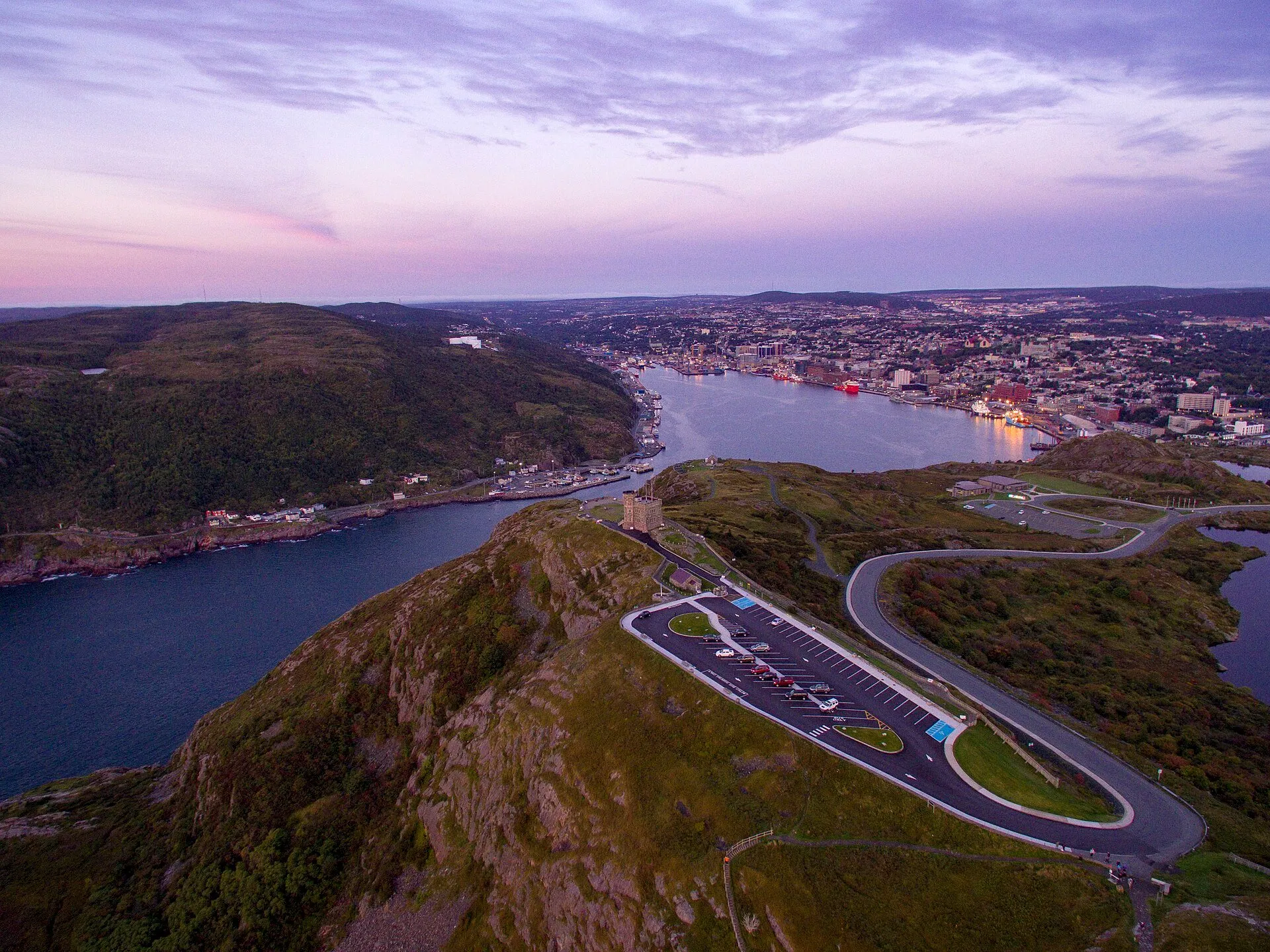
Signal Hill641 km
Signal Hill (Cabot Tower) is 640.7 km from Deer Lake airport by road, on Routes 1 and 2.
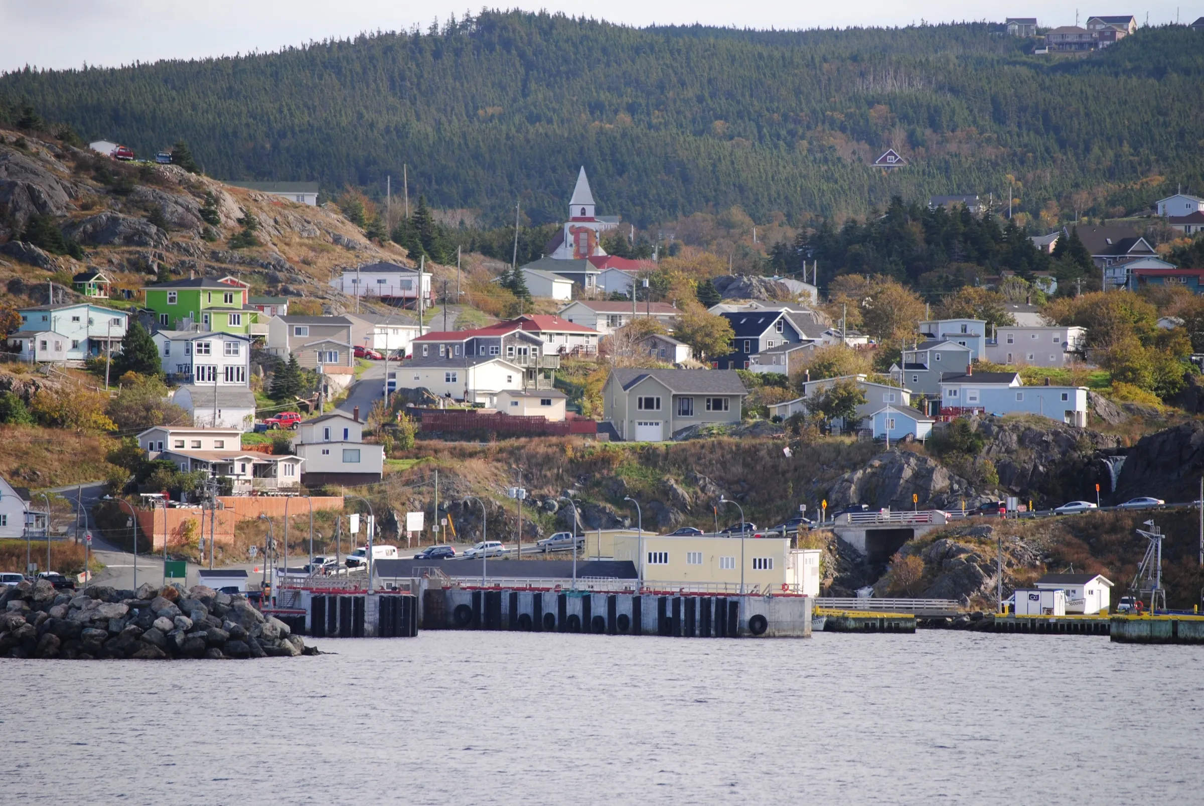
Portugal Cove ferry terminal641 km + ferry
Portugal Cove ferry terminal is 641.1 km from Deer Lake airport by road, on Routes 1, 50 and 41.
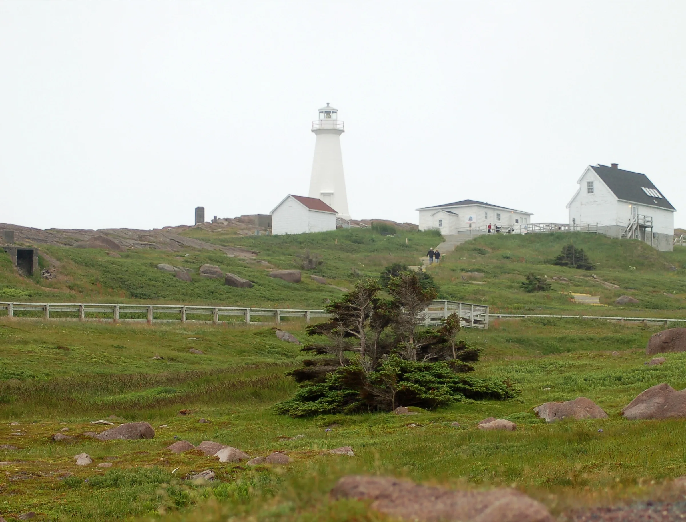
Cape Spear649 km
Cape Spear is 649.4 km from Deer Lake airport by road, on Routes 1, 2, 10 and 11.
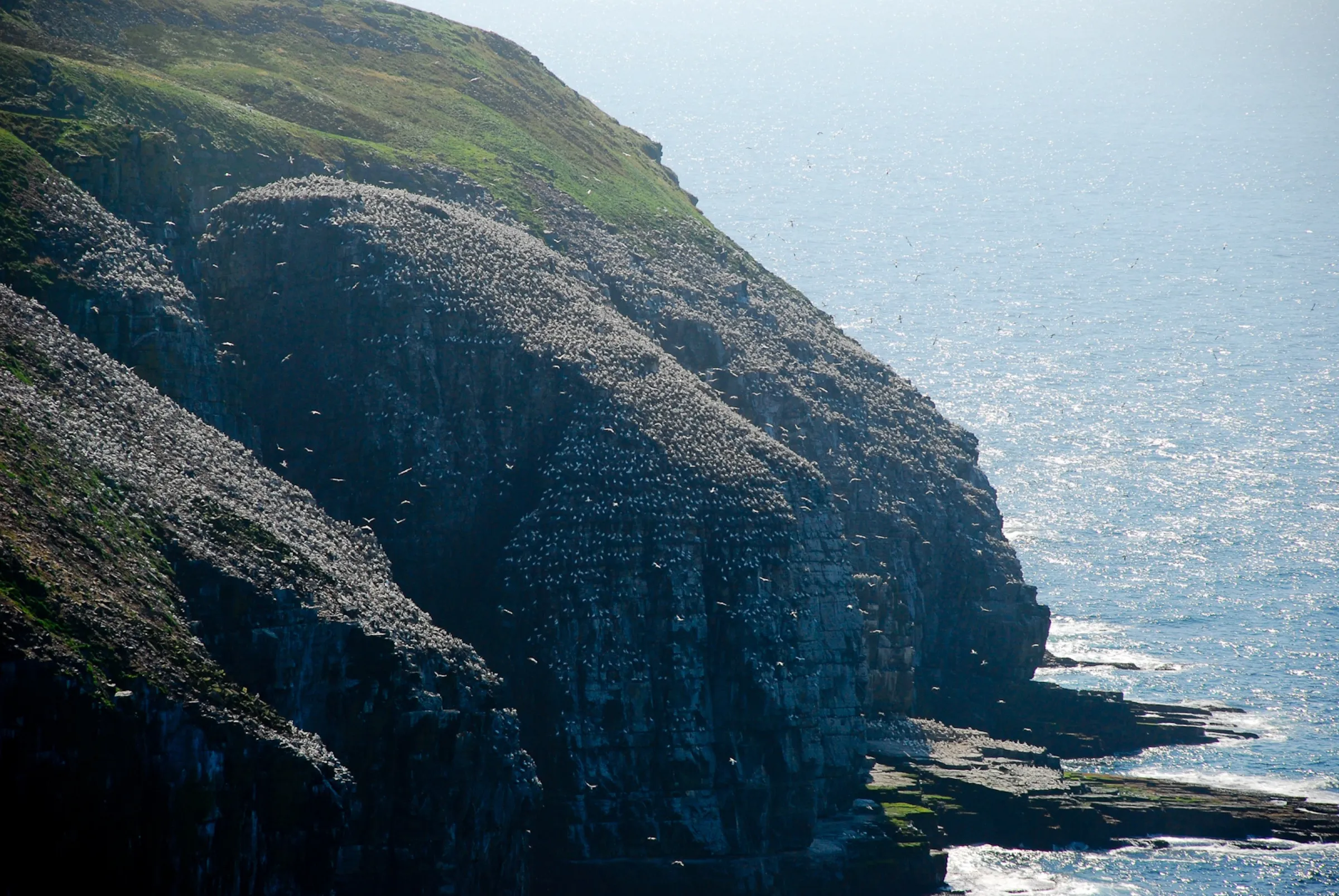
Cape St. Mary's Ecological Reserve657 km
Cape St. Mary's Ecological Reserve is 656.7 km from Deer Lake airport by road, on Routes 1 and 100.
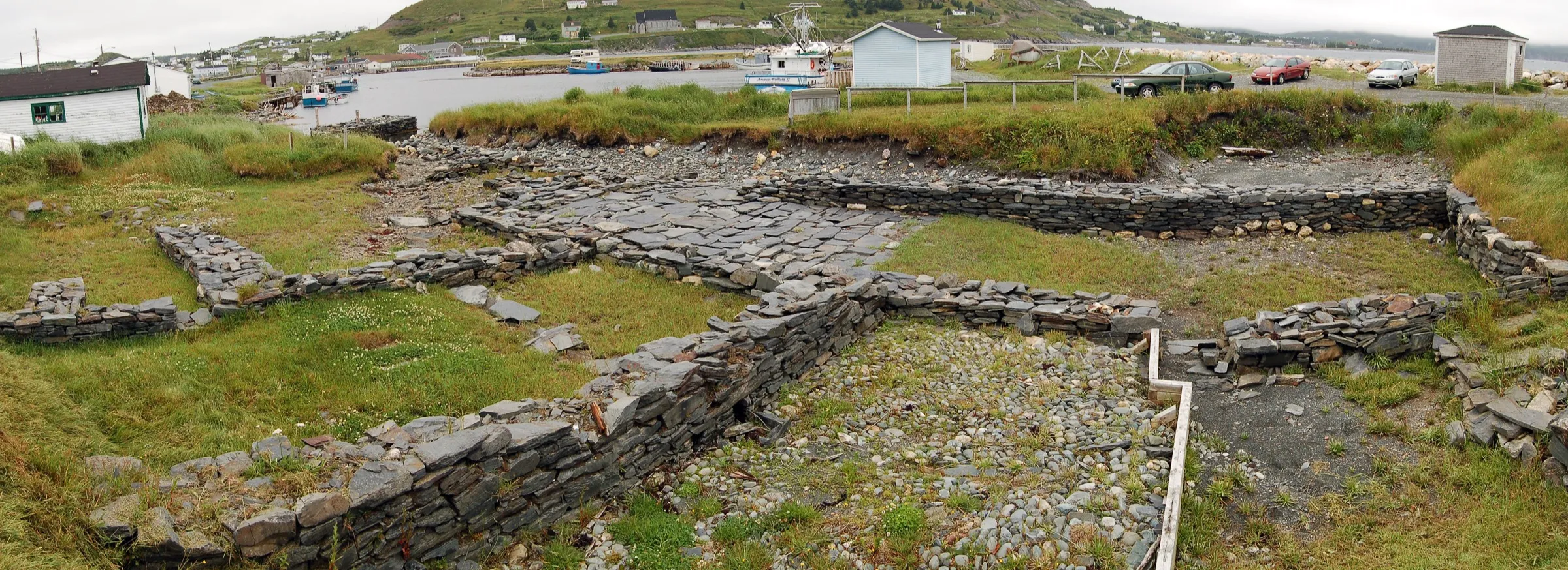
Ferryland660 km
Ferryland is 659.8 km from Deer Lake airport by road, on Routes 1, 13 and 10.
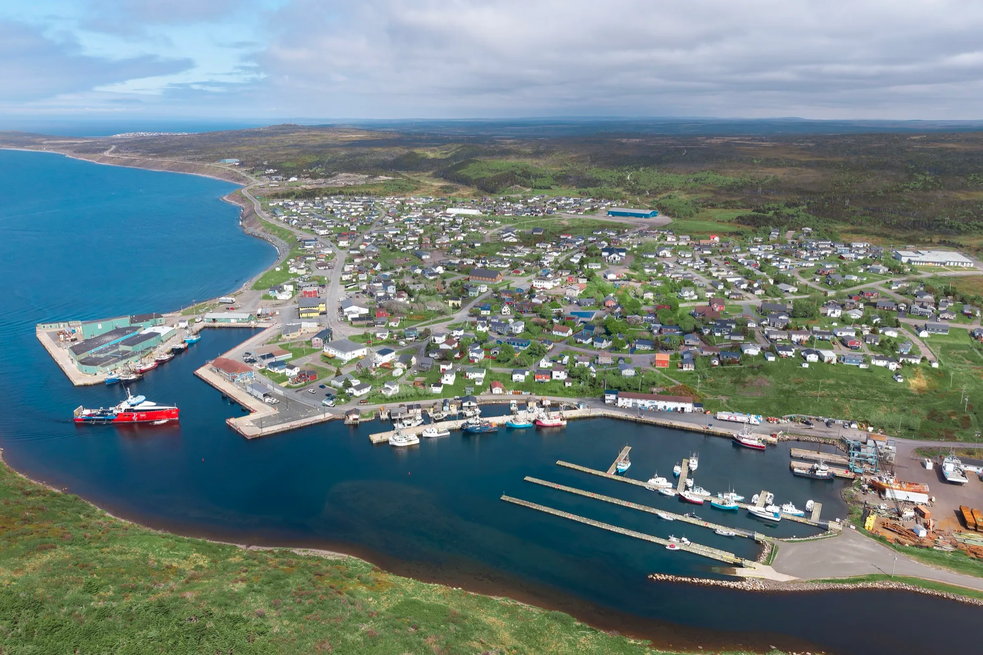
Fortune682 km + ferry
Fortune is 681.6 km from Deer Lake airport by road, on Routes 1, 210 and 220.
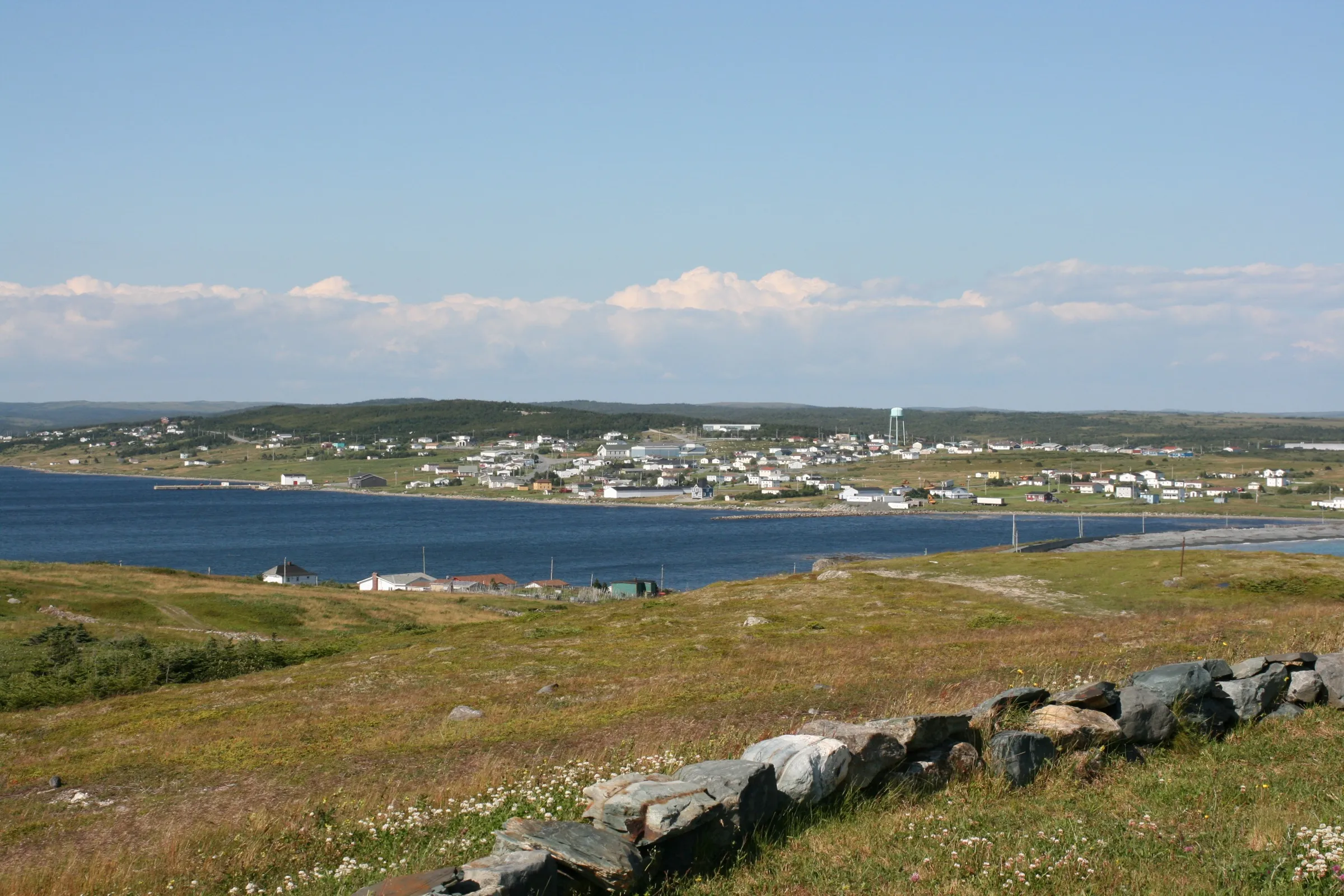
Trepassey698 km
Trepassey is 697.8 km from Deer Lake airport by road, on Routes 1, 90 and 10.
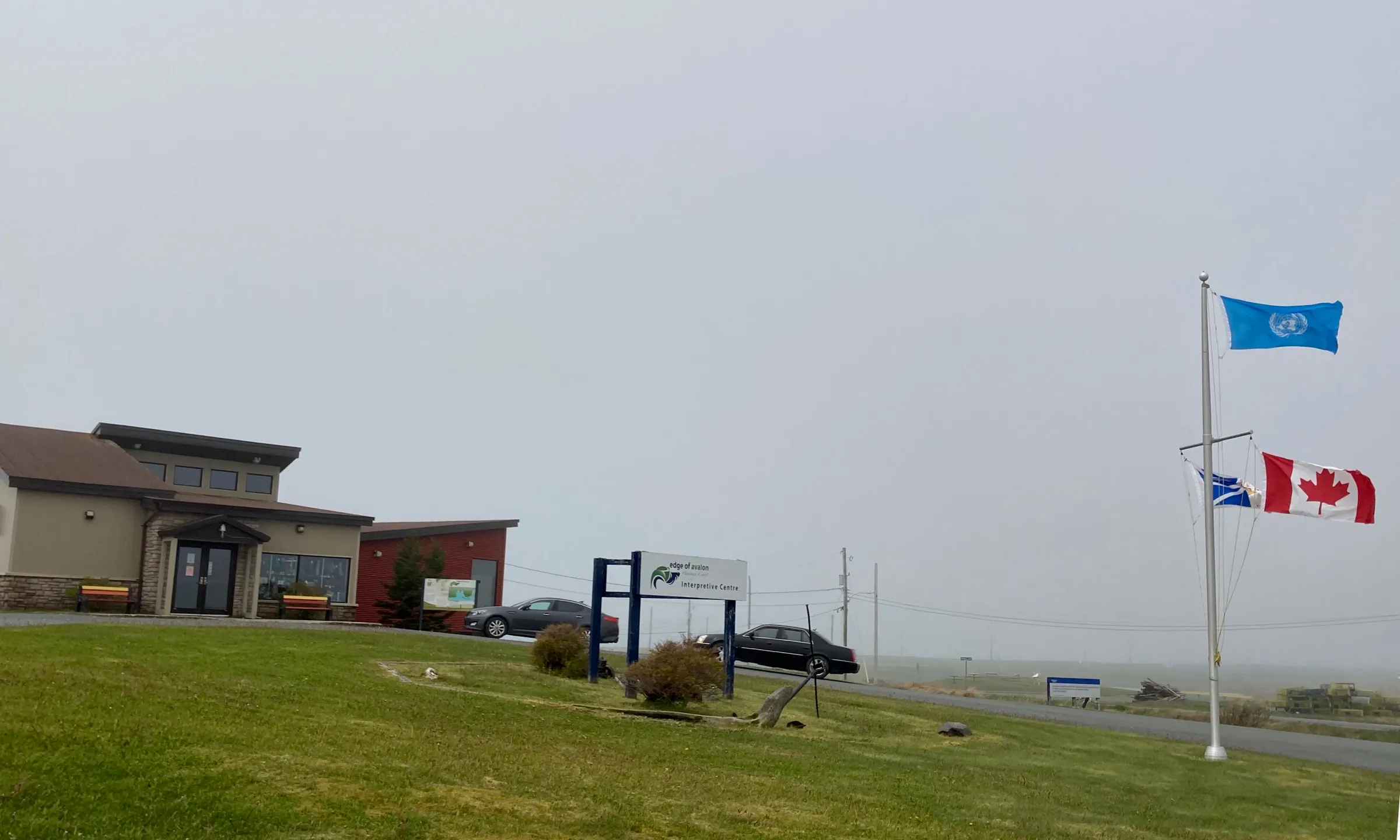
Mistaken Point709 km
Mistaken Point Interpretation Centre is 709.2 km from Deer Lake airport by road, on Routes 1, 90 and 10.
Compare every destination from every airport and ferry on the full table → · Parking and arrivals are on the airport's own site →
Eating before you drive: 18 places the open map records in Deer Lake → — alphabetical, with addresses and phone numbers.