Trail · from Deer Lake (YDF)
The Gros Morne Mountain Trail
Caution
Parks Canada closes the mountain to hikers from May 1 until June 28 to protect wildlife, and gives it as 17 km: a 9 km approach there and back to a viewing platform, and an 8 km loop over the summit from there.
Scan with your phone to open this page there. Then tap Keep for offline before you lose signal.
- Length
- 17 km lollipop
- Parks Canada's figure for the whole walk, stem and loop.
- Our mapped line reads 12.1 km; that is the stem once and the loop, and the walk comes back down the stem, so the figure above is Parks Canada's.
- Climbing
- 837 m
- Every up added together; the highest point is 807 m.
- To the trailhead
- 65 km
Type of trail
Lollipop
Out along a stem, round a loop at the far end, back down the stem. The approach to the viewing platform is walked both ways; the summit is a loop from there. Parks Canada's activity page also calls the whole a 17-kilometre loop.
Source: Parks Canada, “9. Gros Morne Mountain 17 km return … 9a. Gros Morne Approach 9 km return … 9b. Gros Morne Summit Trail 8 km loop”.
strenuousRated on the whole walk: 17 km round, about 837 m of climbing. How
Access: the rating measures effort only. The map records the surface as earth 7.8 km. Step-free access isn't recorded; ask the park before you go. Easier access in Gros Morne, from Parks Canada →
Drive: 64.5 km from the Deer Lake (YDF) terminal to the trailhead — not the town. OSRM driving profile, terminal to the trailhead, checked 2026-09-03.
The trail, measured
Gros Morne Mountain Trail: the mapped path is 12.1 km with 837 m of climbing, from 17 m up to 807 m.
Every cited segment →
OpenStreetMap way/1018931462 + way/420891004 + way/1018931463 + way/1018931467 + way/1018931466 + way/1018931465 + way/1018931464 + way/1018931461 + way/168941770 + way/168941775 + way/168941772 + way/168941768 + way/168941769 + way/168941773 + way/1434980375 + way/355574182 + way/1018932299 + way/1018932298; elevation from AWS Open Data Terrarium tiles (z14), sampled ~30 m, ascent over a 3 m noise threshold.
Today's trail conditions and seasonal closures are Parks Canada's — check before you climb →Park bulletins →
Use another map app
Apple Maps · Google Maps · Organic Maps · OsmAnd (both work offline, no tracking) · WazeTake it on your phone or watch
Only useful with a hiking app or a GPS watch. Just heading to the start? Use the directions above.
Save the track for a hiking or watch app (GPX)The file follows the mapped line, 12.1 km; the signed loop is 17 km. Expect your watch to read about 4.9 km short at the finish.
- Garmin: import it as a Course in Garmin Connect, then send it to your watch.
- Apple Watch: open it in a route app that runs on the watch, such as WorkOutDoors or Footpath.
- Suunto, COROS, Polar: import it as a route in the watch's app, then sync.
- Phone, offline: open it in Organic Maps or OsmAnd and download the map area before you lose signal.
Just a file: no account, nothing tracked.
No recorded track yet.Walked it? Send yours →
Getting here
To Gros Morne Mountain trailhead from every airport and ferry, measured by road.
The measured drive is YDF → Gros Morne (Rocky Harbour) — 2 stops on it, with the road numbers, the surface and where to eat along it.
What has been recorded near here
Wildlife people have reported within 10 km of Gros Morne Mountain trailhead, and the months they saw it. Tap a name for everywhere else on our drives it turns up.
- Northern gannetseabirdMorus bassanusReports cluster in July, August, June161 reports on record
Reports, not counts: busy harbours report more. No sighting is promised, and the list covers only the species we look up. Source: GBIF, the international record of wildlife sightings, checked 2026-10-07.
Eating, when you come off
Places to eat within 25 km by road of the trailhead, nearest first. 2 of 15 have a confirmed position.
- Buoy & Arrow Restaurant and Suites(709) 458-34007.2 kmunconfirmed — go by the address
- Fisherman's Landing RestaurantMain St N · (709) 458-20607.4 kmunconfirmed — go by the address
- Greco Pizza44 Main St N · (709) 458-31217.4 kmunconfirmed — go by the address
- Oceans Room Restaurantgros morne national park, Morne National Park, 42 Main St S #38 · (709) 458-27307.5 kmunconfirmed — go by the address
- Anchor Pub42 Main St N · (800) 563-98877.6 kmDirections →
Other map apps
Apple · Google · Organic Maps · OsmAnd (both work offline, no tracking) · Waze - Sunset Restaurant24 Main St N · (709) 451-32007.6 kmunconfirmed — go by the address
- Treasure Box72 Main St N · (709) 458-30077.7 kmunconfirmed — go by the address
- Java Jack's Restaurant & Gallery88 Main St N · (709) 458-27107.8 kmunconfirmed — go by the address
No opening hours: the map data for these places has none. Phone ahead. Built 2026-10-11.
No photo yet. Walked it? Send yours.
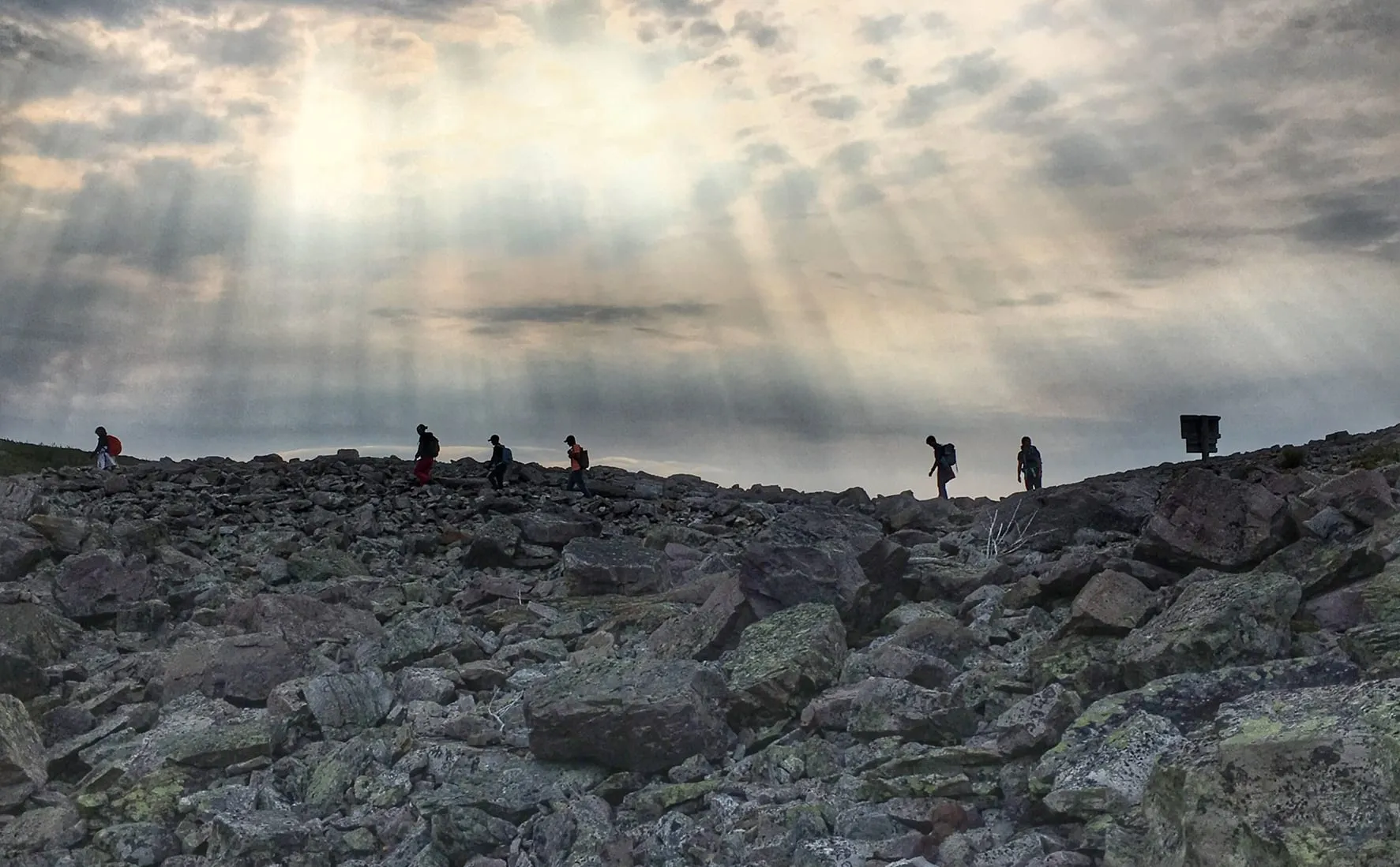
This is the island’s second-highest peak and the park’s namesake: 12.1 km of mapped trail and 837 measured metres of ascent, topping out at 807 m on a plateau with its own weather. Parks Canada closes the summit route in spring for the caribou and calls the gully section serious. Their trail page carries the season’s status. Plan on a full day.
The drive is the easy part: 64.5 km from the YDF terminal to the trailhead parking off Route 430. Every path segment is cited above. What the plateau is doing when you get there is between you, the forecast and the park.
The full drive from Deer Lake (YDF), with stops and moose notes →
Measured September 3, 2026. Trailhead: OpenStreetMap way/1018931462 — the trail's start off Route 430.