Arriving at St. John's (YYT)
Driving from St. John's International Airport (YYT)
58 drives measured from the St. John's airport, nearest first. Each route page shows when it was measured.
No car? Outside town there is usually no other way to these places. What you can walk to, and the taxis and buses at the terminal →
Staying in St. John's? Town is 7.7 km from the terminal. Guides with places measured from here: UNESCO sites.
Renting? Book the car when you book the flight. Cars book up fast in summer, says the province's tourism desk; in June 2026 BNN Bloomberg reported St. John's airport agencies booked for nearly the whole summer.
Rental counters at St. John's, with numbers →
When to come? Best months for icebergs, whales, puffins and warm weather →
If you have one day
Picked by us, first choice first. Distances are by road from the airport; from downtown St. John's too, for anyone staying in town.
Docked downtown for the day?
From downtown St. John's, there and back by road: Cape Spear about 32 km · Witless Bay about 77 km · Brigus about 147 km. Add your time there.
On foot from downtown St. John's: The Battery 23 min · Signal Hill (Cabot Tower) 36 min · Quidi Vidi 39 min each way.
Be back at the ship an hour before all-aboard. That's a rule of thumb; your ship's all-aboard time is the one that counts.
No car? Each of these is a drive: downtown St. John's is 8.1 km from the airport. The taxis, buses and rideshare at this airport are on the no-car page. On foot from downtown St. John's: Cathedral Basilica of Saint John the Baptist 8 min · The Rooms 8 min · Trans-Canada Highway Zero Km 8 min · Colonial Building 12 min. Everything within an hour's walk →
Staying in a town? Easy days out from Cape Spear · Witless Bay · Salmonier Nature Park · Brigus · Ferryland · another town →
 Nilfanion · CC BY-SA 3.0
If you only do one
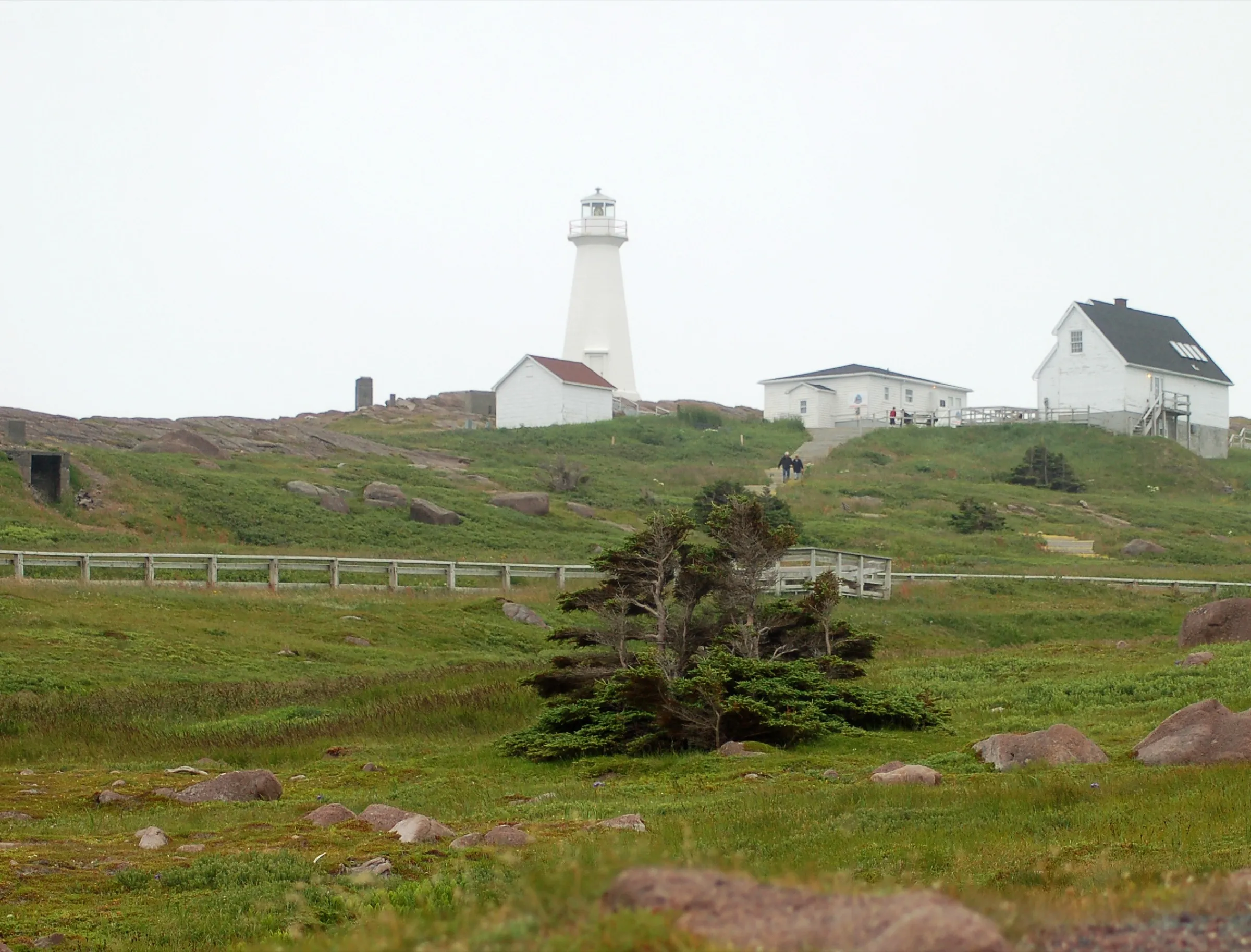
Cape Spear 24 km
16 km from downtown St. John's
Canada's most easterly point, lighthouse and all.
 Brett Hodnett · CC BY-SA 2.0
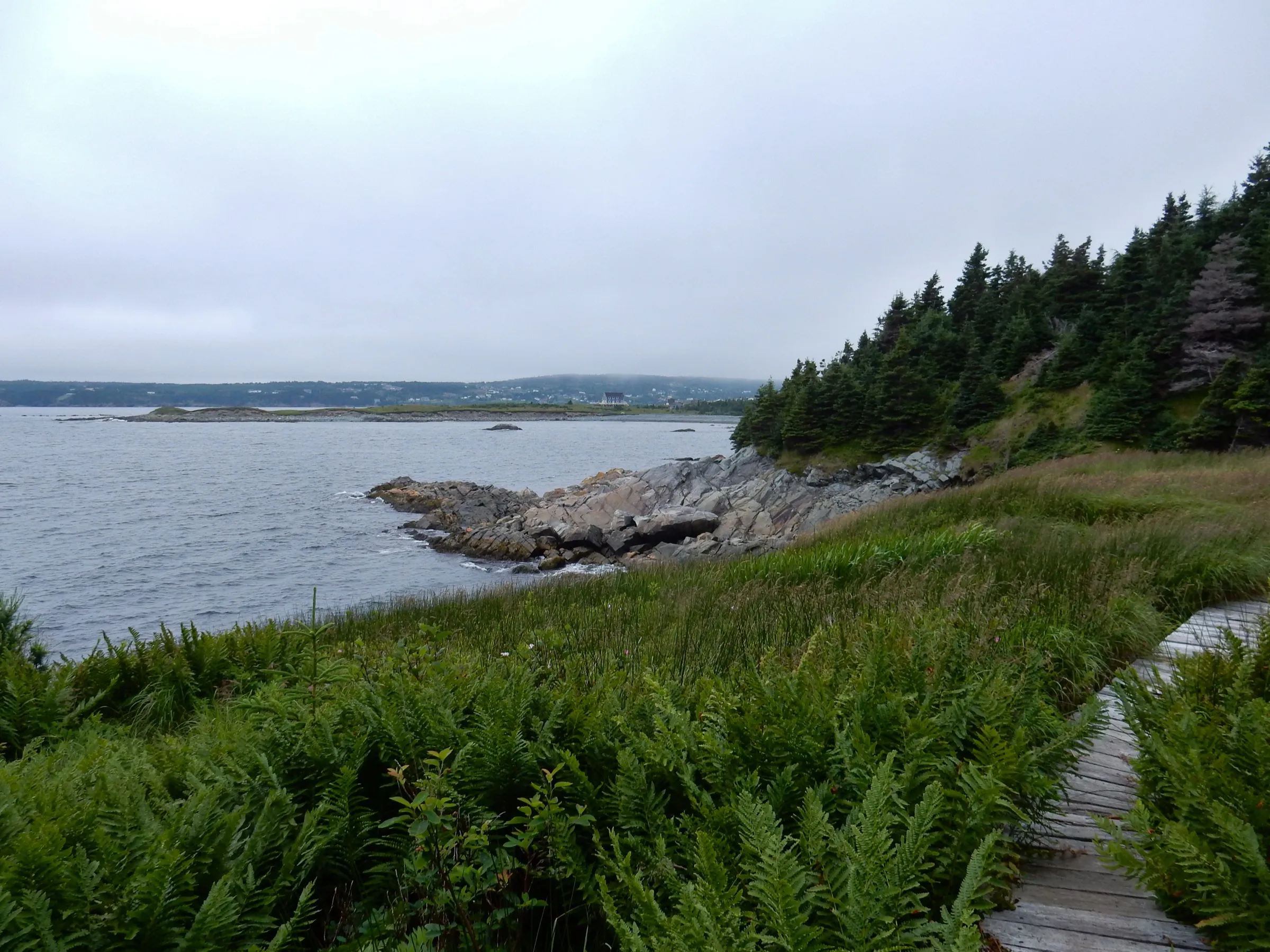
Witless Bay 46 km
38 km from downtown St. John's
Puffin and whale boats: the birds are ashore May to August.
 Skeezix1000 · CC BY-SA 3.0
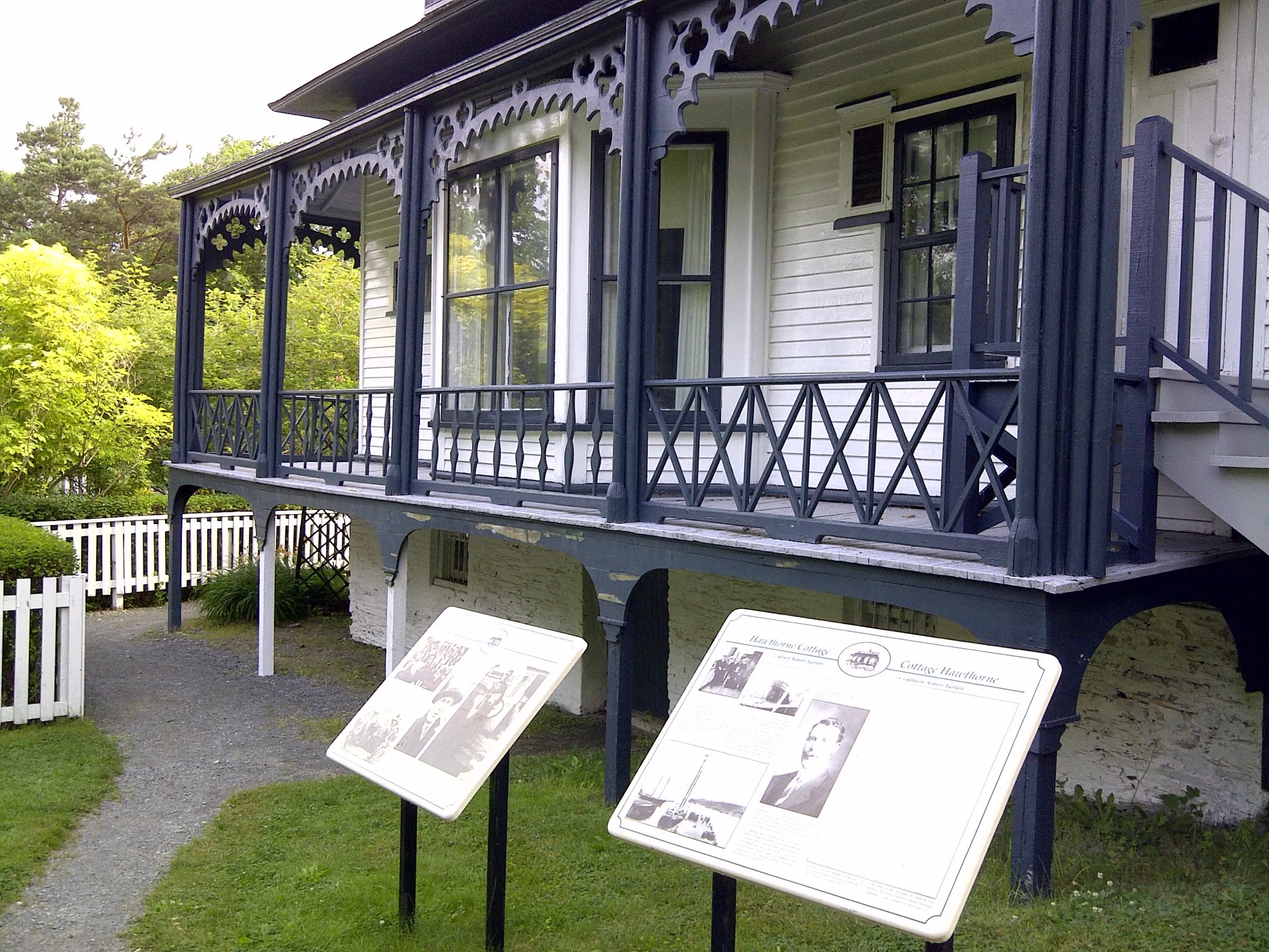
Brigus 75 km
73 km from downtown St. John's
A historic outport on Conception Bay.
Walks from St. John's
- North Head Trail · 1.6 km point to point, one way · easy8.8 km driveor 34 min on foot from town
- Piccos Ridge Path · 14.5 km point to point, one way · strenuous11 km drive
- Father Troy's Path · 8.9 km point to point, one way · easy12 km drive
- Stiles Cove Path · 15.1 km point to point, one way · moderate20 km drive
- Deadmans Bay Path · 10.5 km point to point, one way · moderate to difficult20 km drive
Every trail, with climbs and maps →The East Coast Trail, path by path →
Heading to Cape St. Mary's? The Argentia ferry lands 106 km closer. See Argentia → or compare them all
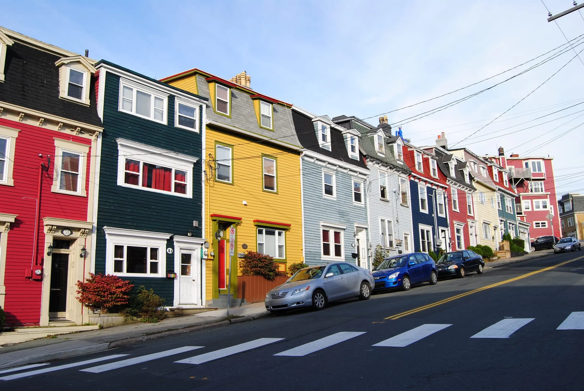
downtown St. John's7.7 km
St. John's Airport to downtown St. John's: 7.7 km on Route 40, down to the old town on the hill above the harbour.
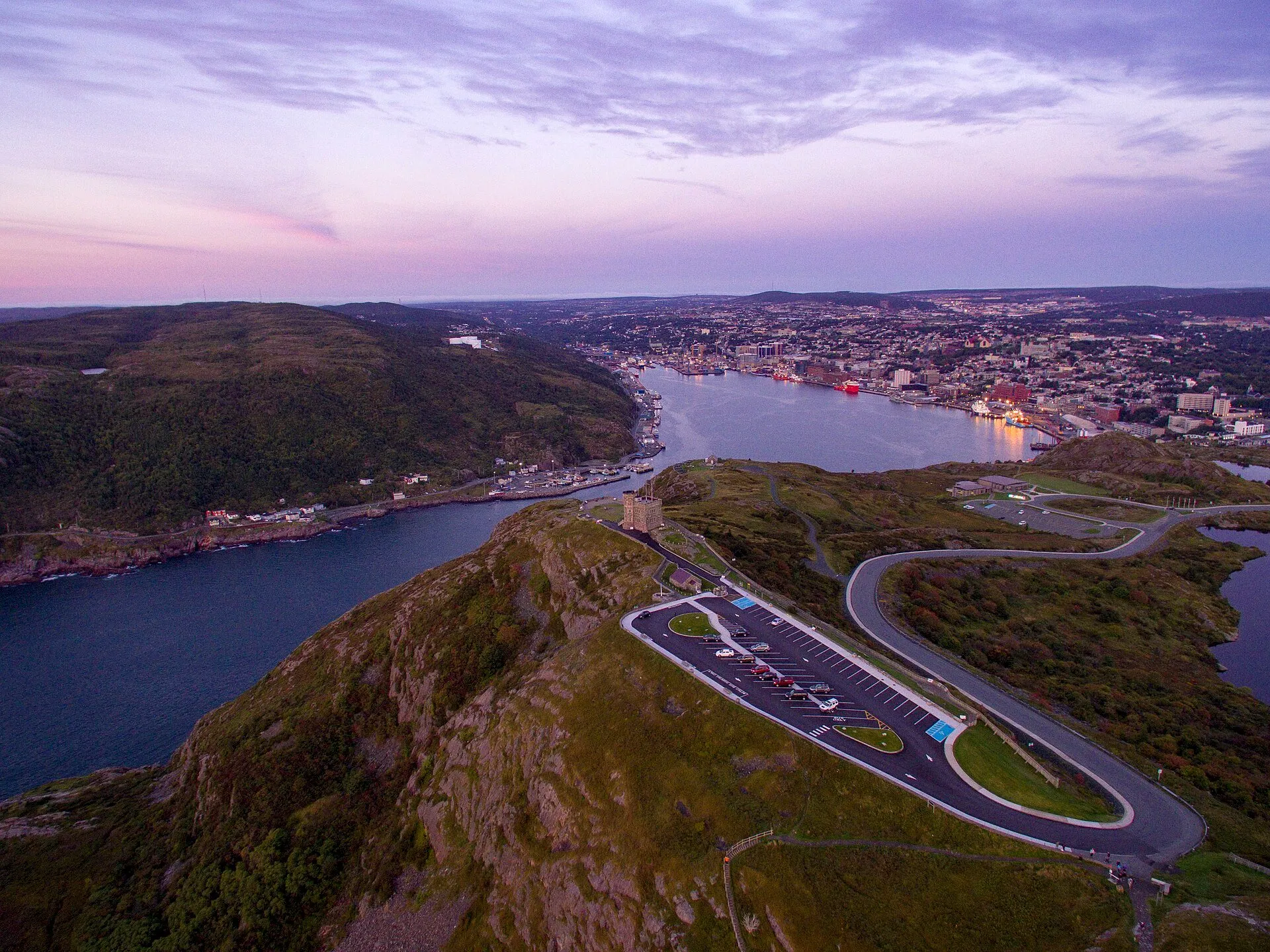
Signal Hill9 km
St. John's Airport to Signal Hill: 9 km on Route 40 and city streets, up to Cabot Tower above the harbour and the Narrows.
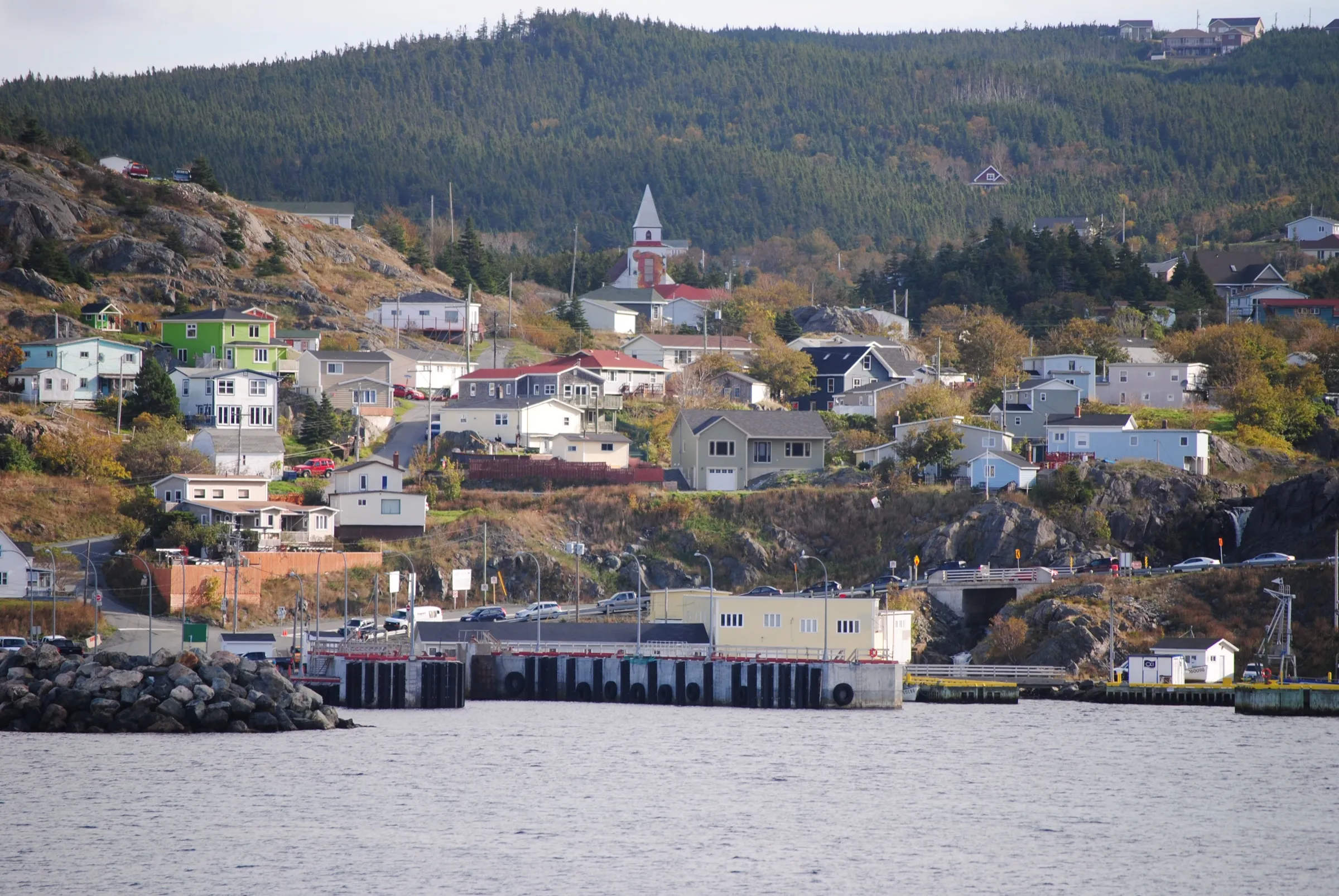
Portugal Cove ferry terminal11 km + ferry
Portugal Cove ferry terminal, for the Bell Island ferry, is 10.6 km from St. John's airport via Route 40.
Cape Spear24 km
St. John's Airport to Cape Spear: 23.5 km on Routes 40 and 11, out to the National Historic Site on Canada's most easterly point of land.
Witless Bay46 km
St. John's airport to Witless Bay: 45.6 km, on Routes 40, 2, 3 and 10 down the Southern Shore Highway.
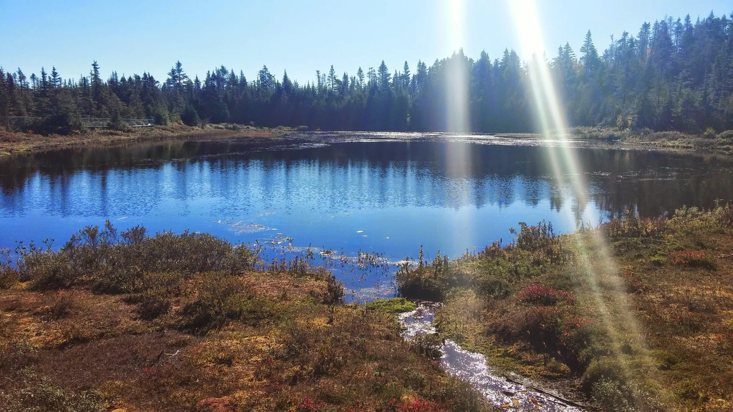
Salmonier Nature Park68 km
Salmonier Nature Park is a 68 km drive from St. John's airport: Route 40, the Trans-Canada southwest, then Route 90, the Salmonier Line.
Brigus75 km
St. John's Airport to Brigus is 75 km on Routes 40, 1, 2 and 60 — a short Avalon drive to a National Historic Site town.
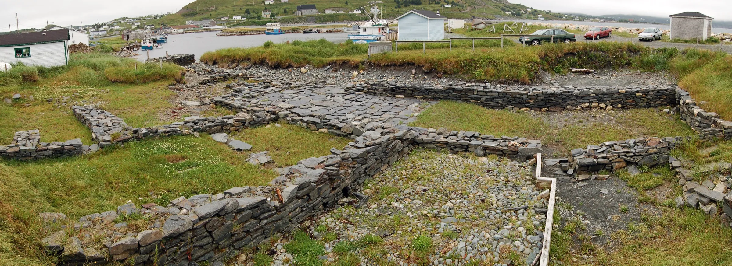
Ferryland86 km
St. John's airport to Ferryland: 86 km, on Routes 40, 2, 3 and 10 down the Irish Loop to the Colony of Avalon.
 route map
Clarke's Beach88 km
Clarke's Beach is 87.9 km from St. John's airport by road, on Routes 40, 1, 75 and 70.
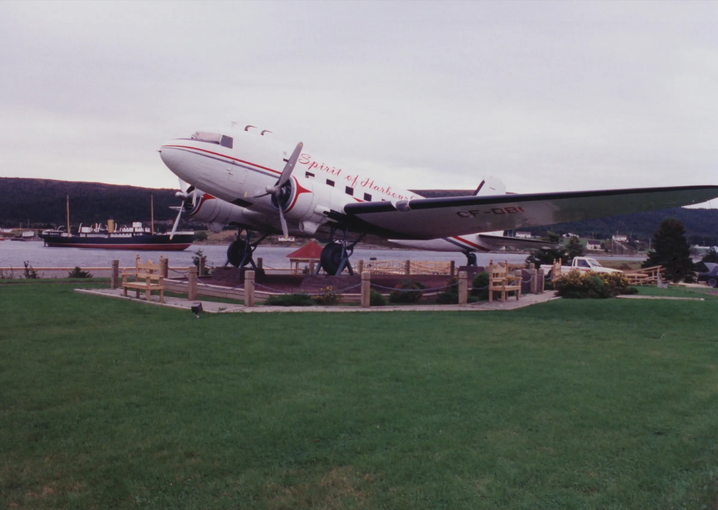
Harbour Grace108 km
The drive from St. John's airport to Harbour Grace is 107.5 km on Routes 40, 1, 75 and 70 around Conception Bay.
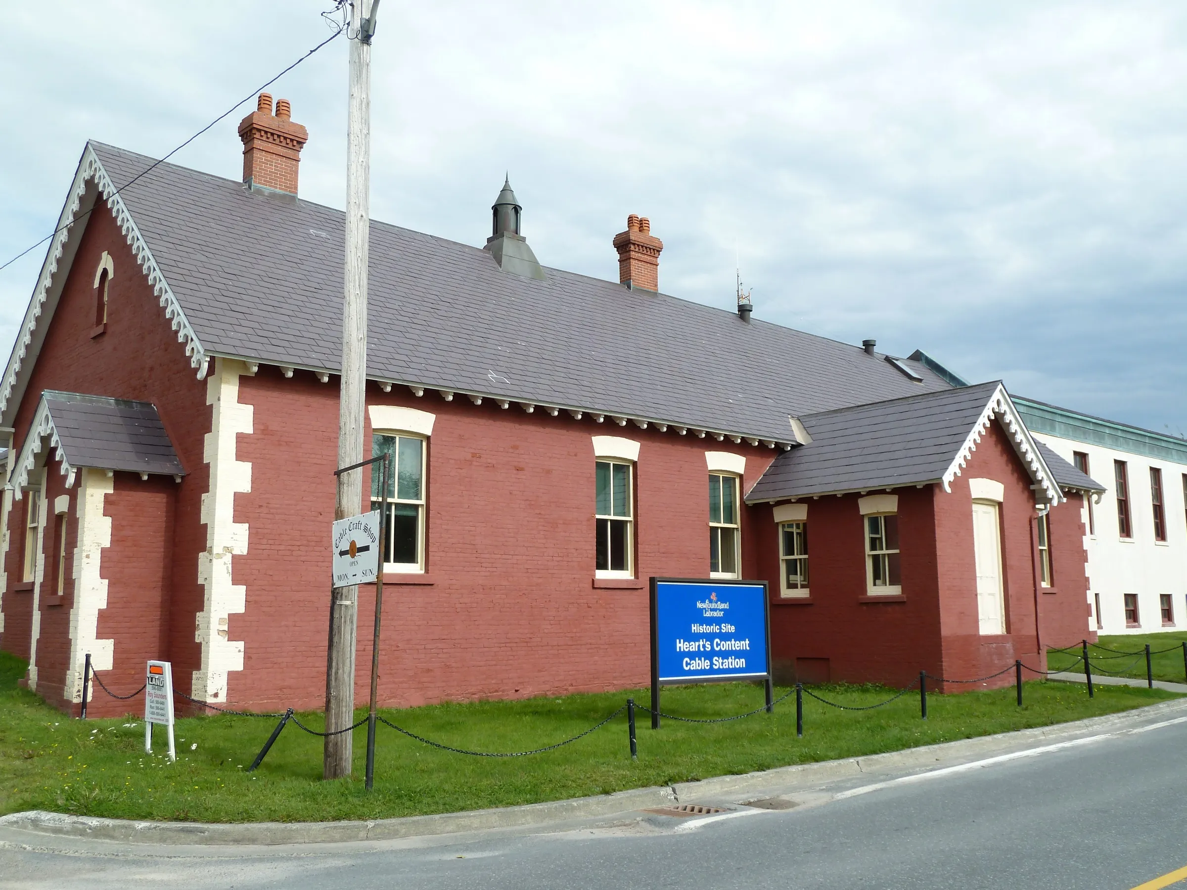
Heart's Content132 km
Heart's Content is 132 km from St. John's Airport, via the Trans-Canada then Routes 75, 70, 74 and 80 up the west side of Conception Bay.
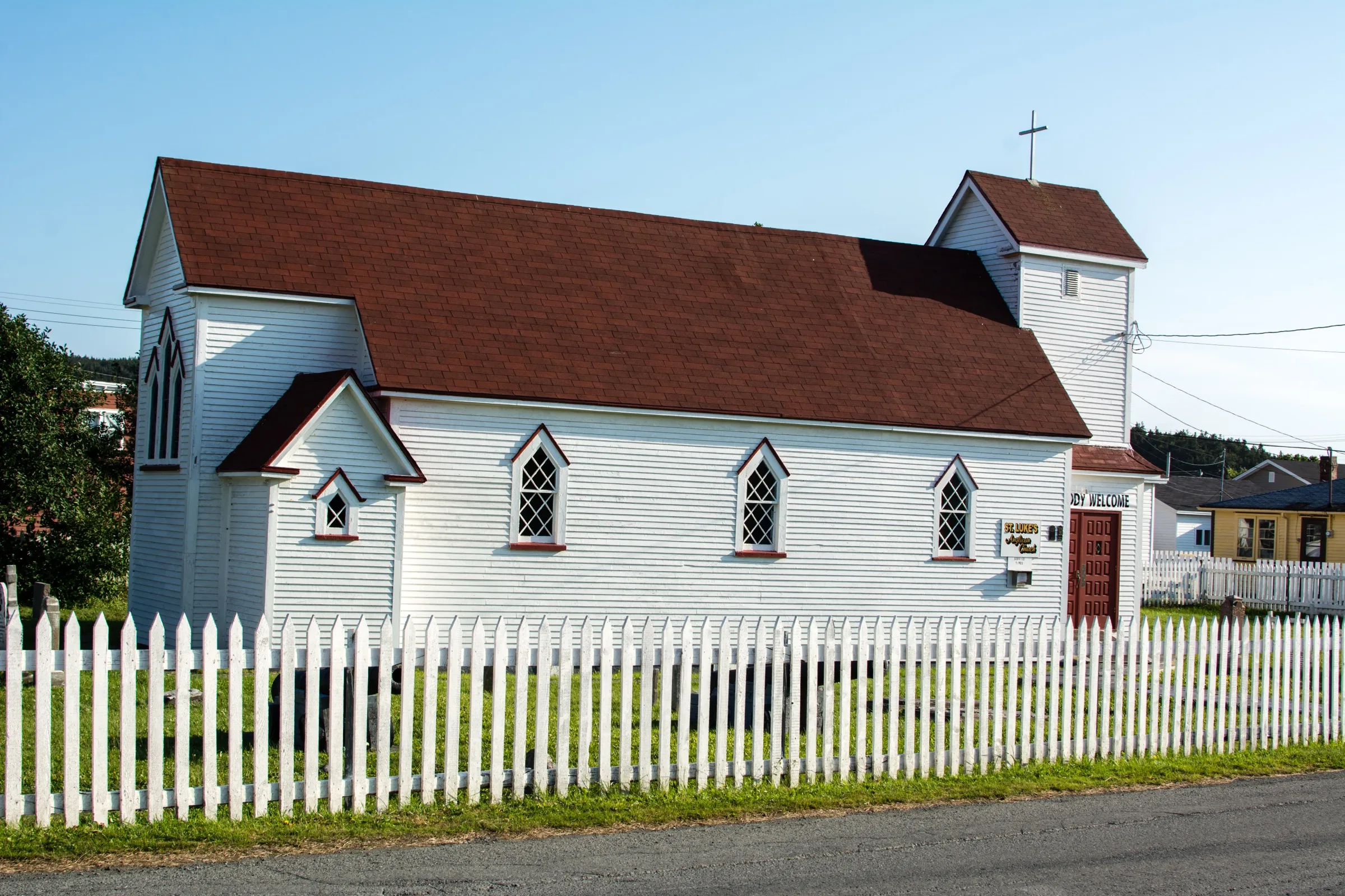
Placentia132 km
St. John's Airport to Placentia is 132 km, on Routes 40, 1 and 100, to the old French and English capital of Newfoundland.
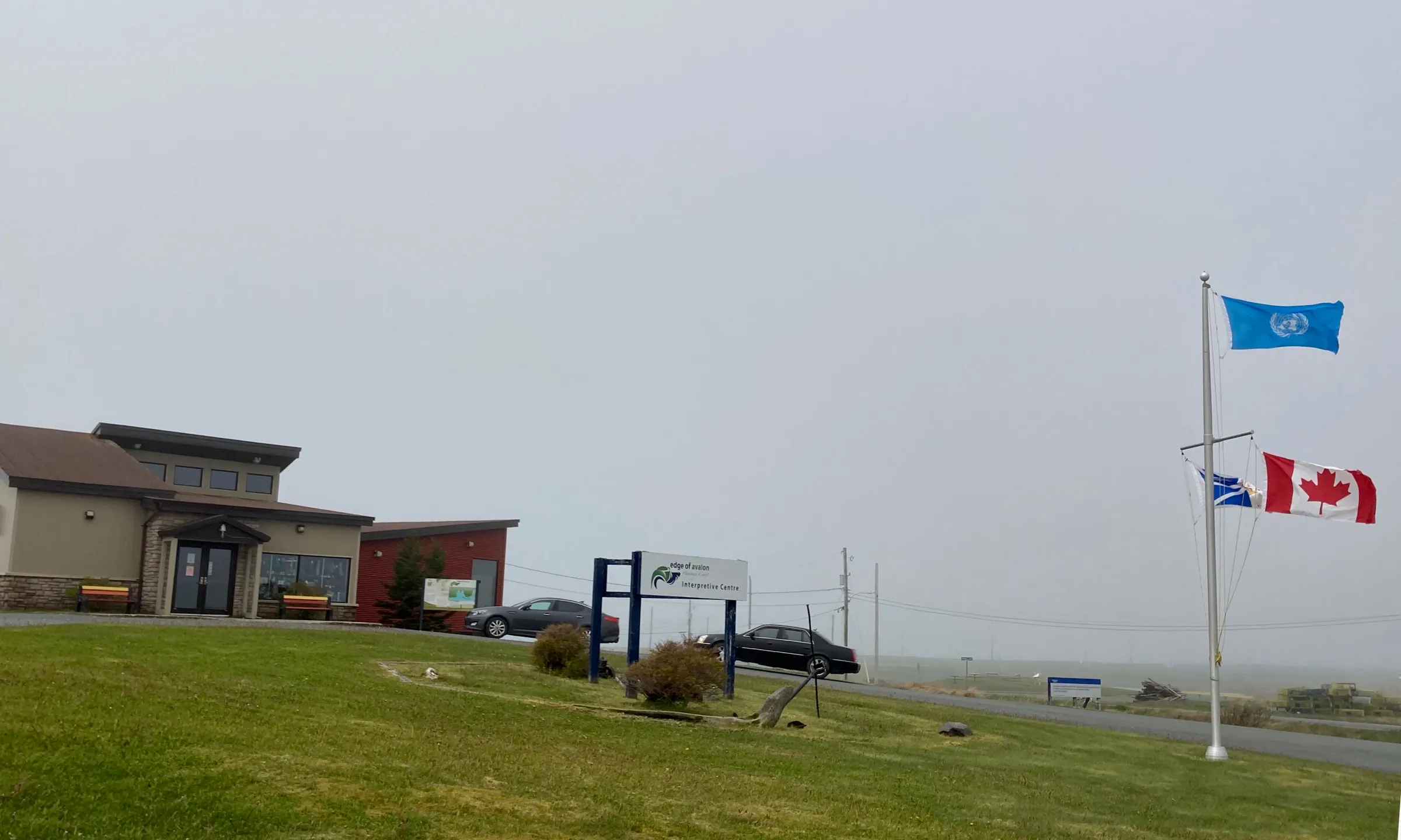
Mistaken Point144 km
St. John's airport to Mistaken Point is 144 km, on Routes 40, 2, 3 and 10 — the last of them the Irish Loop Drive.
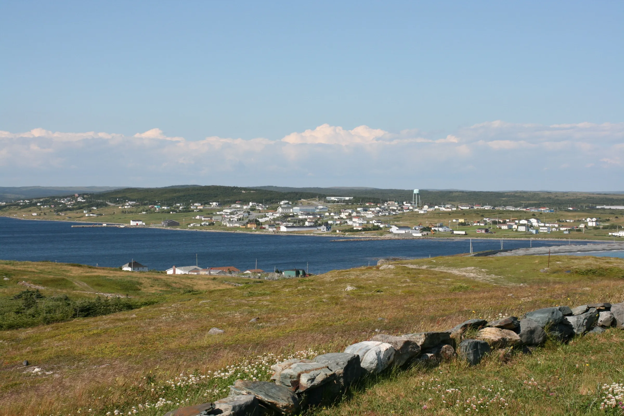
Trepassey156 km
Trepassey is 155.9 km south of St. John's Airport: Routes 40, 2 and 3 out of the city, then Route 10, the Irish Loop Drive.
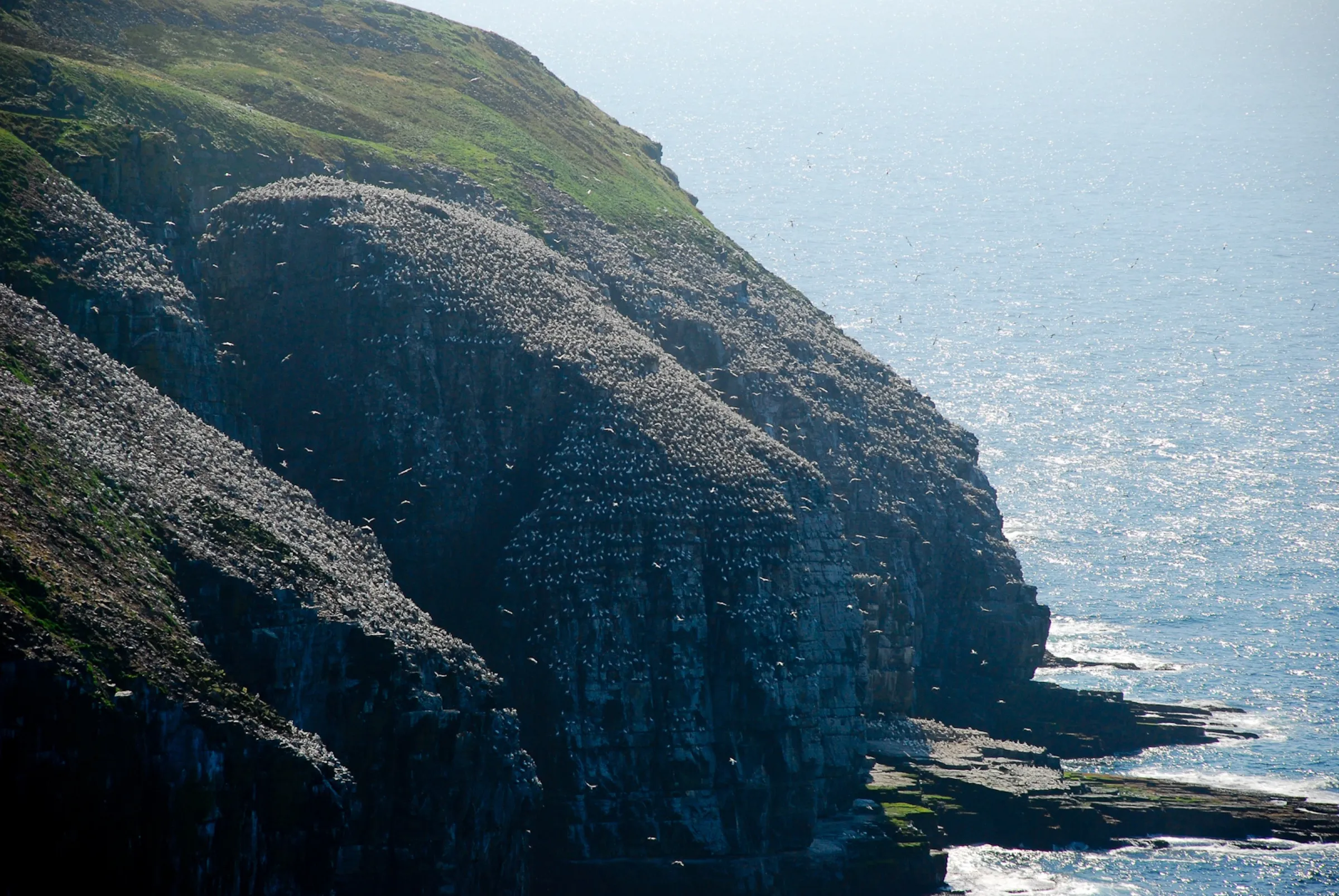
Cape St. Mary's Ecological Reserve177 km
Cape St. Mary's is 176 km southwest of St. John's airport: Route 40 to the Trans-Canada, then 90, 91, 92 and 100 down the Cape Shore.
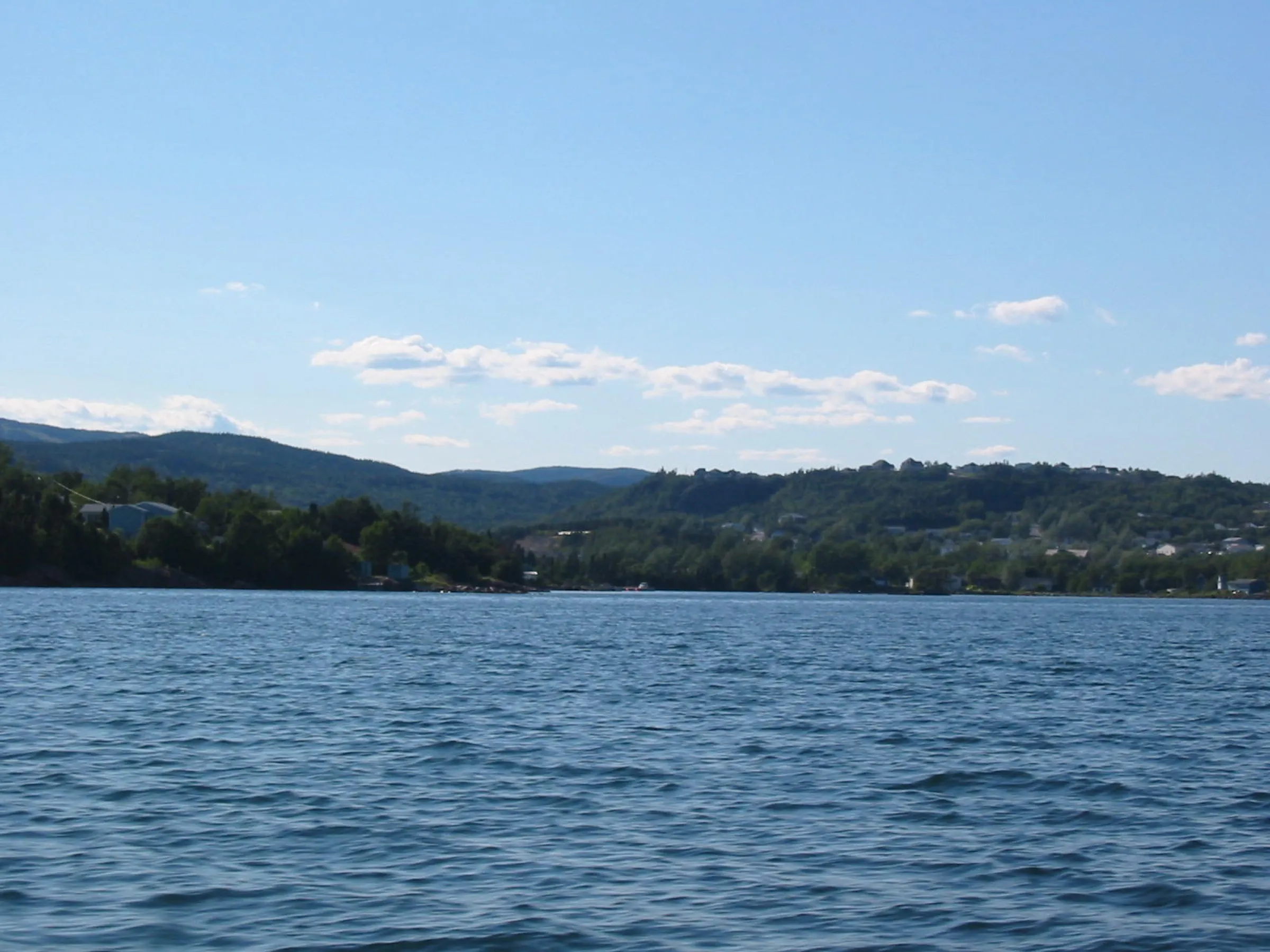
Clarenville191 km
From St. John's Airport, Clarenville is 191 km on Route 40 then the Trans-Canada (Route 1) — Gander is the closer airport.
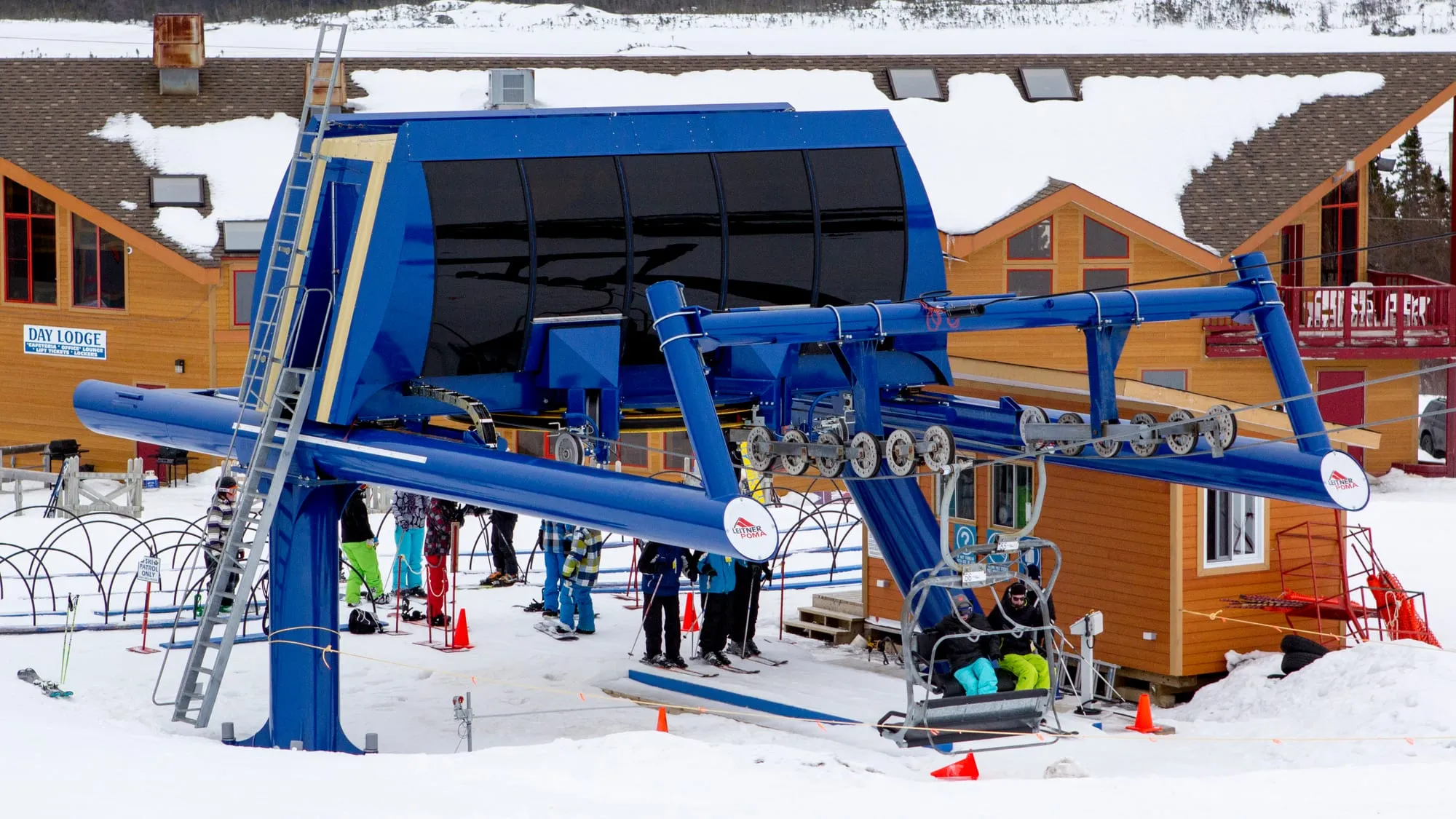
White Hills198 km
White Hills Resort is 198.4 km from St. John's airport by road, on Routes 40 and 1.
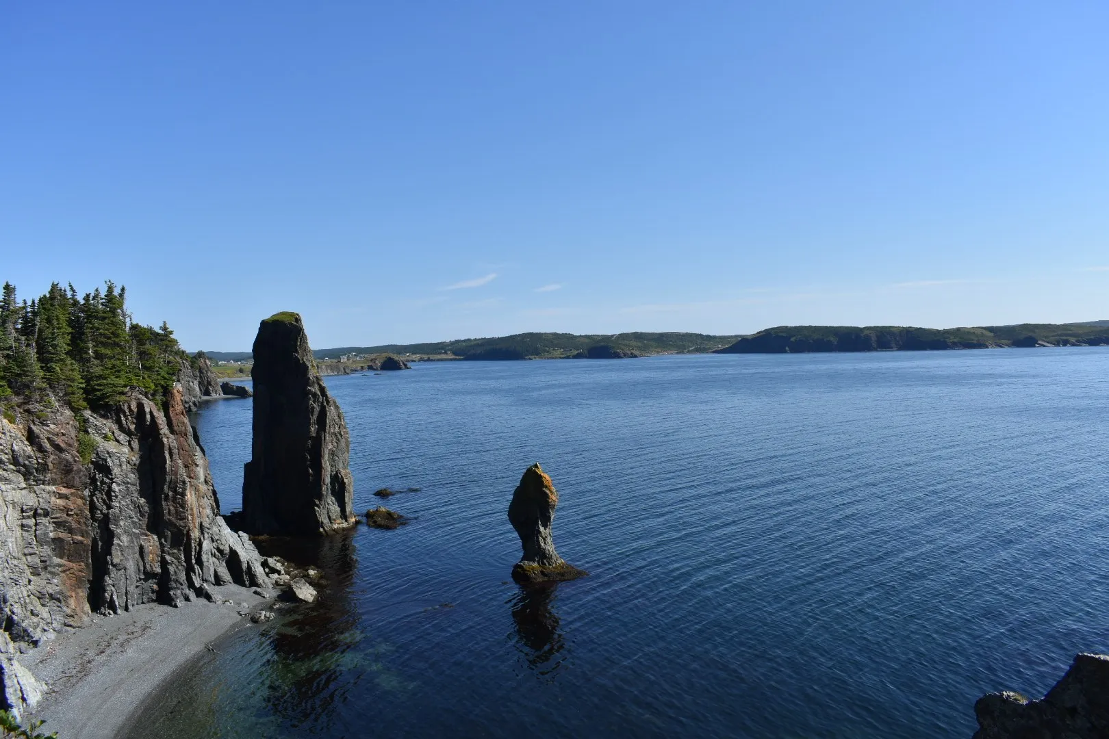
Port Rexton260 km
You land at St. John's and Port Rexton is 260 km by road via Routes 40, 1 and 230: the town of the Skerwink Trail, on Trinity Bay.
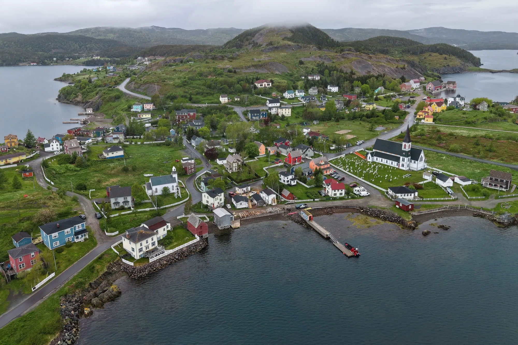
Trinity (Trinity Bay)261 km
Trinity is 261.2 km from St. John's airport by road, on Routes 40, 1, 230 and 239.
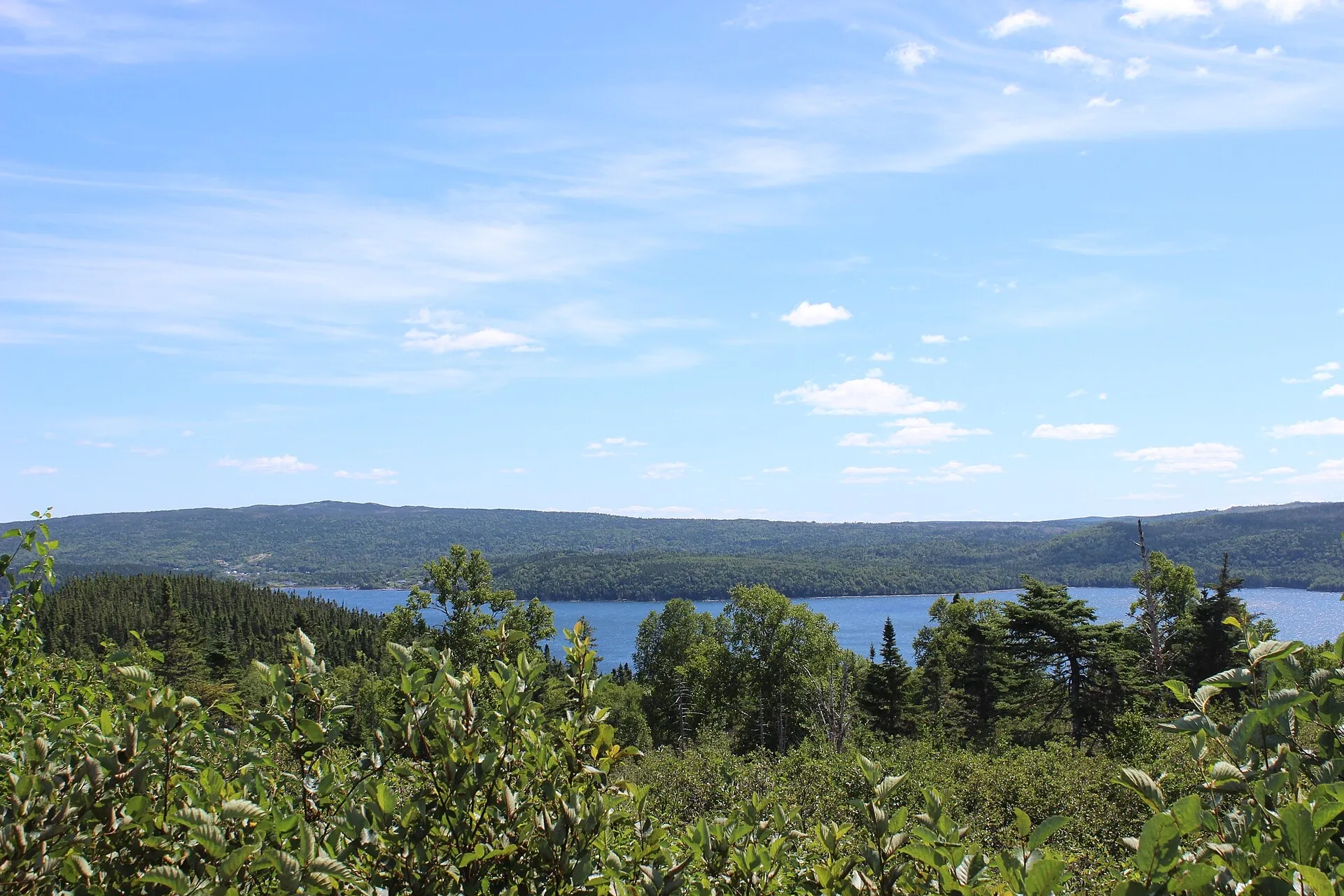
Terra Nova262 km
Terra Nova National Park Visitor Centre is 261.7 km from St. John's airport by road, on Routes 40 and 1.
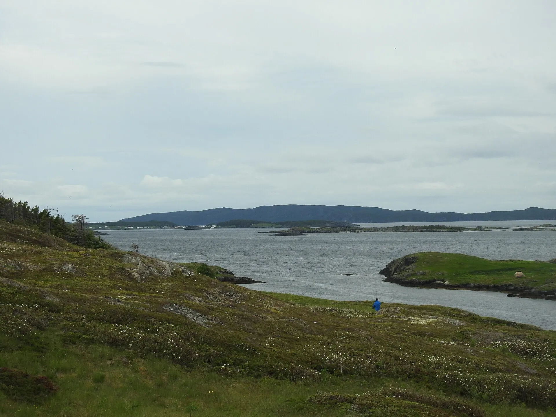
St. Brendan's293 km + ferry
Burnside ferry terminal is 292.9 km from St. John's airport by road, on Routes 40, 1 and 310.
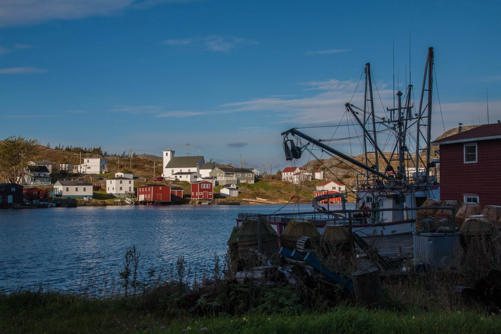
Salvage296 km
Salvage is 295.9 km from St. John's airport by road, on Routes 40, 1 and 310.
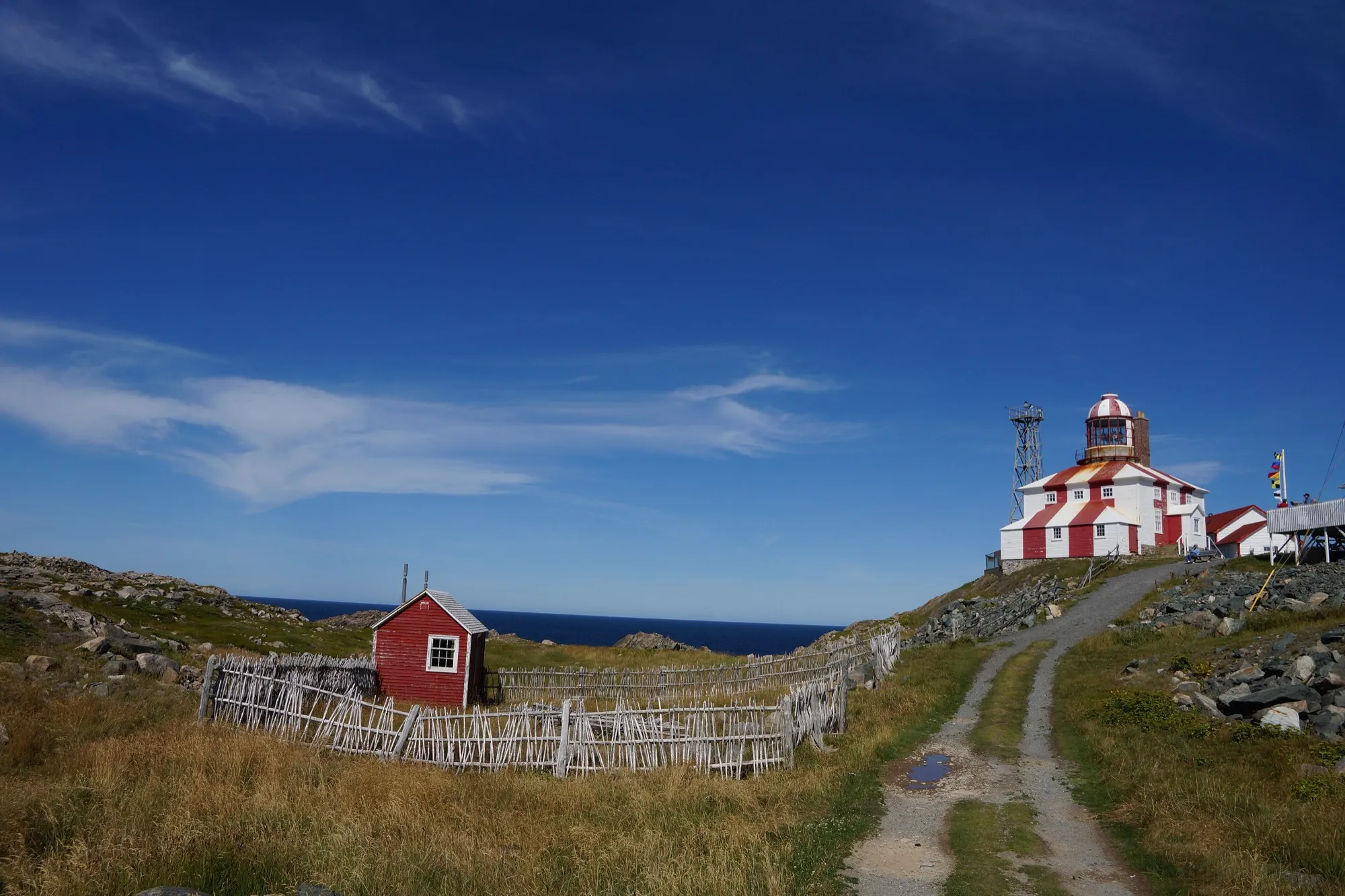
Cape Bonavista309 km
Cape Bonavista Lighthouse is 308.7 km from St. John's airport by road, on Routes 40, 1, 230, 238 and 235.
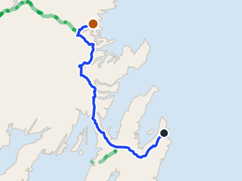 route map
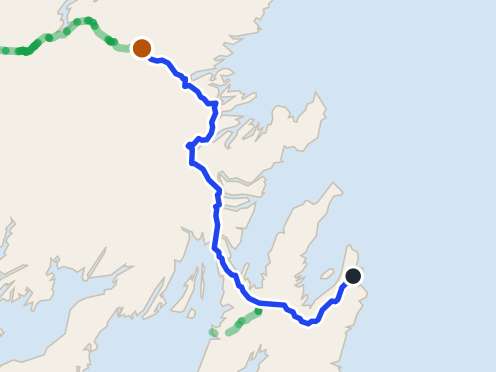
Dover323 km
Dover is 323.1 km from St. John's airport by road, on Routes 40, 1 and 320.
 route map
Gander337 km
Gander is 336.5 km from St. John's airport by road, on Routes 40, 1 and 330. Gander airport is closer.
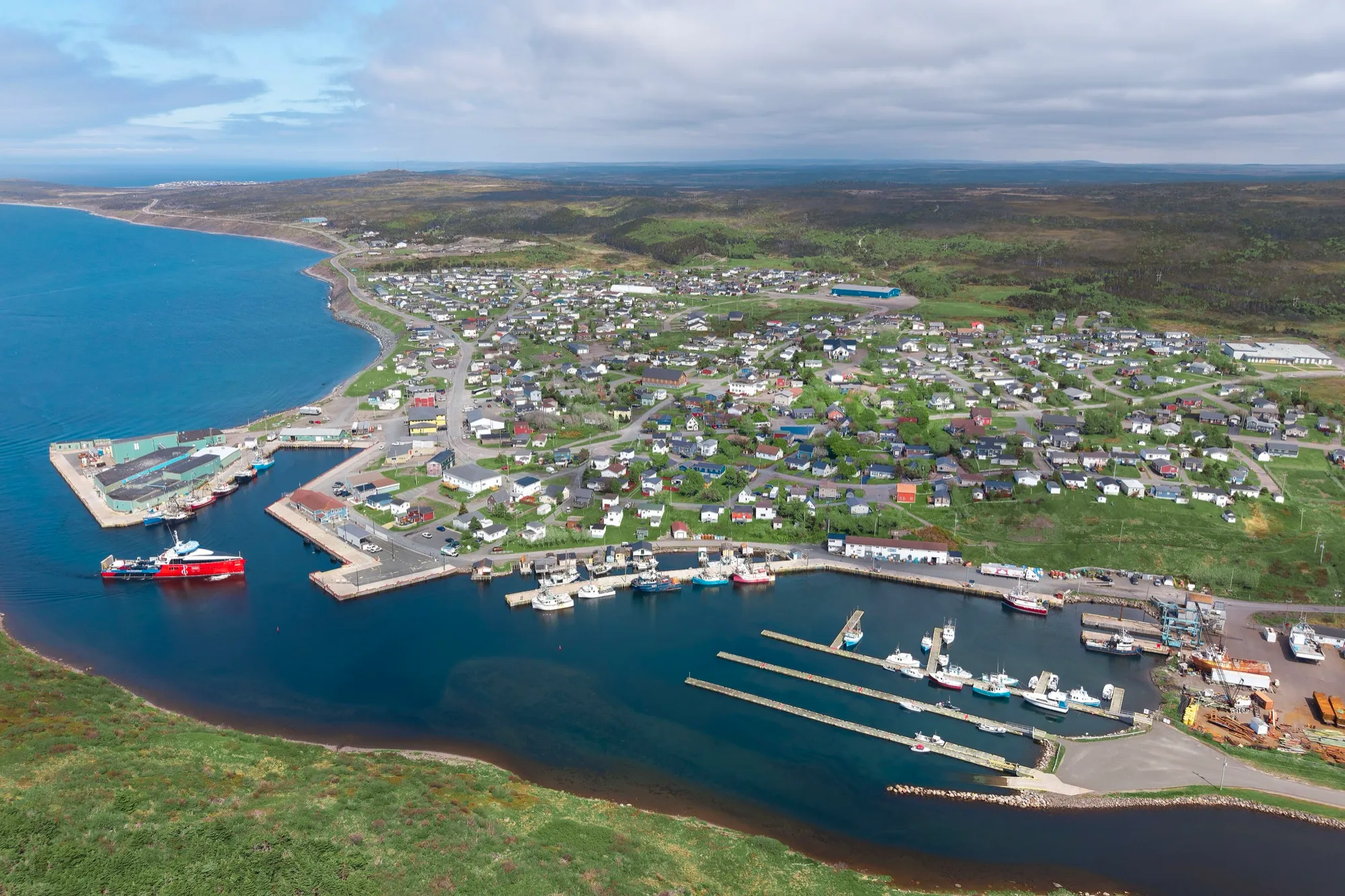
Fortune366 km + ferry
Fortune is 366.2 km from St. John's airport by road, on Routes 40, 1, 210 and 220.
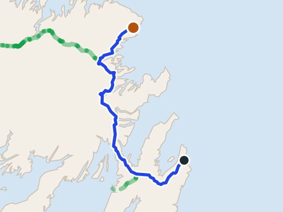 route map
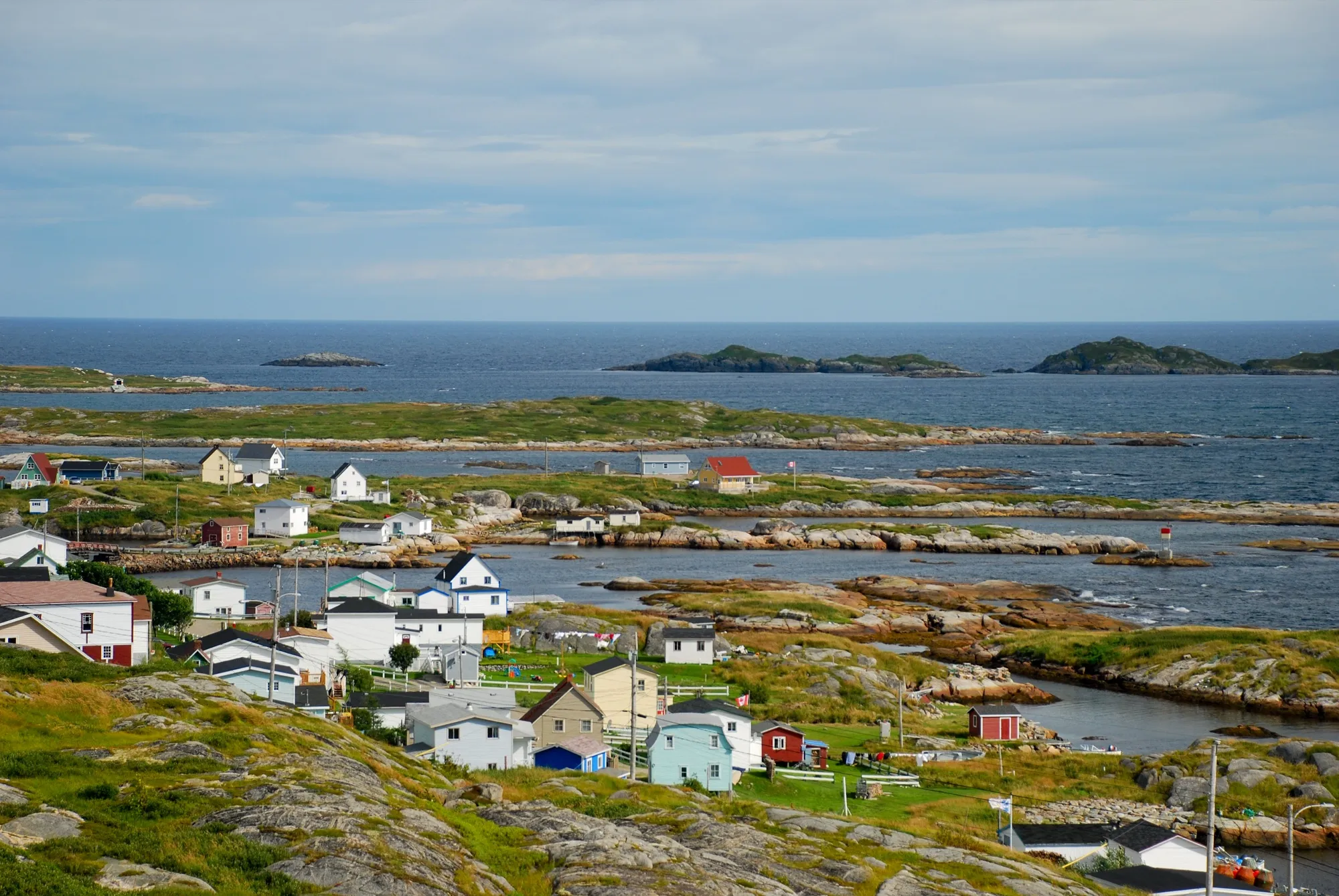
New-Wes-Valley369 km
New-Wes-Valley is 369.1 km from St. John's airport by road, on Routes 40, 1 and 320.
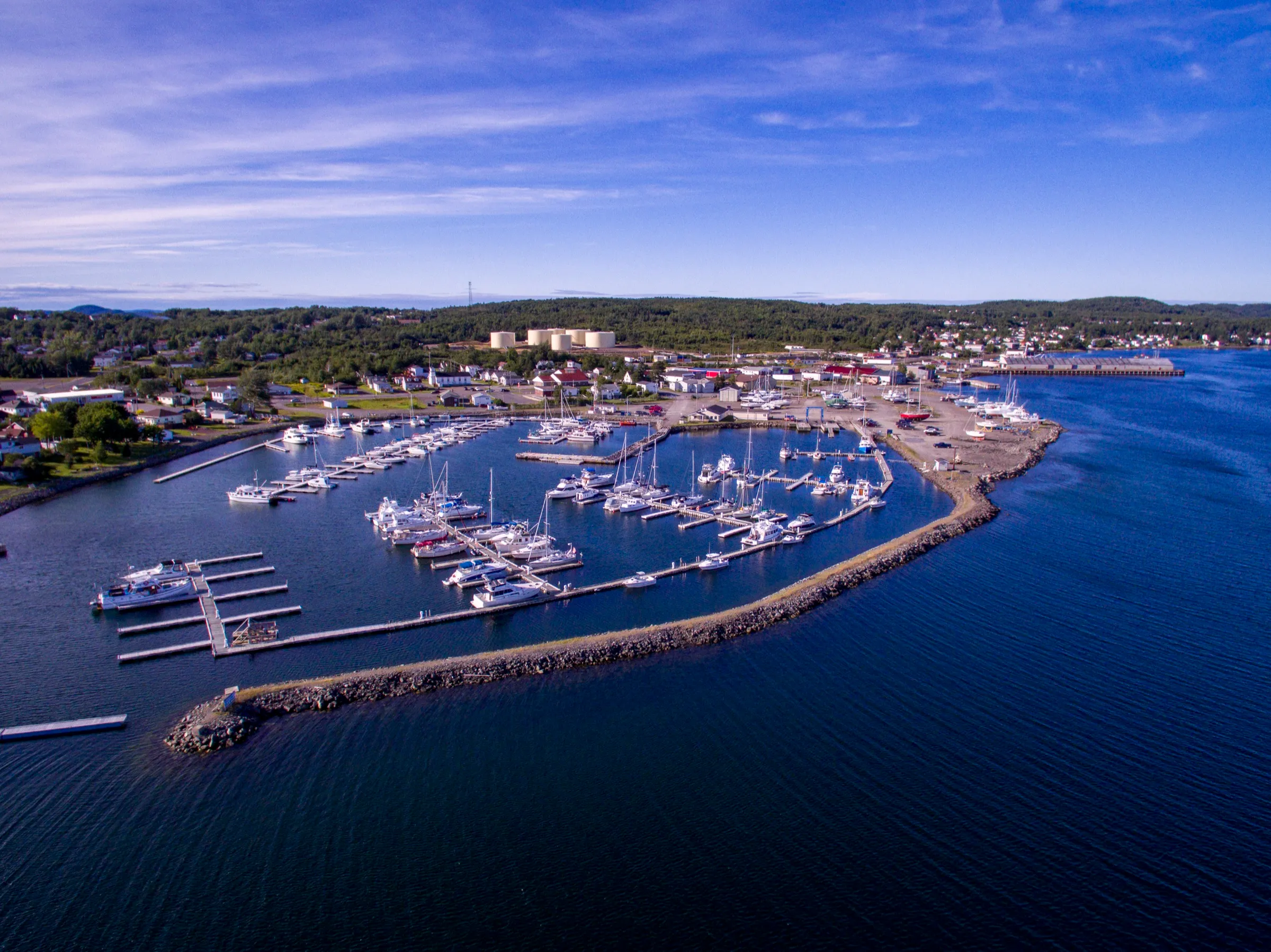
Greenspond375 km
Greenspond is 374.9 km from St. John's airport by road, on Routes 40, 1 and 320.
Lewisporte395 km
From St. John's Airport, Lewisporte is 395 km — Route 40, the Trans-Canada, then Routes 340 and 341. Gander is by far the nearer airport.
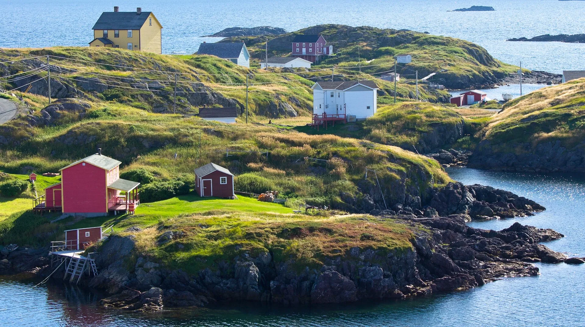
Change Islands419 km + ferry
Same drive as the Fogo run, 419 km from St. John's airport to the Farewell ferry, but you get off at the first stop instead of the second.
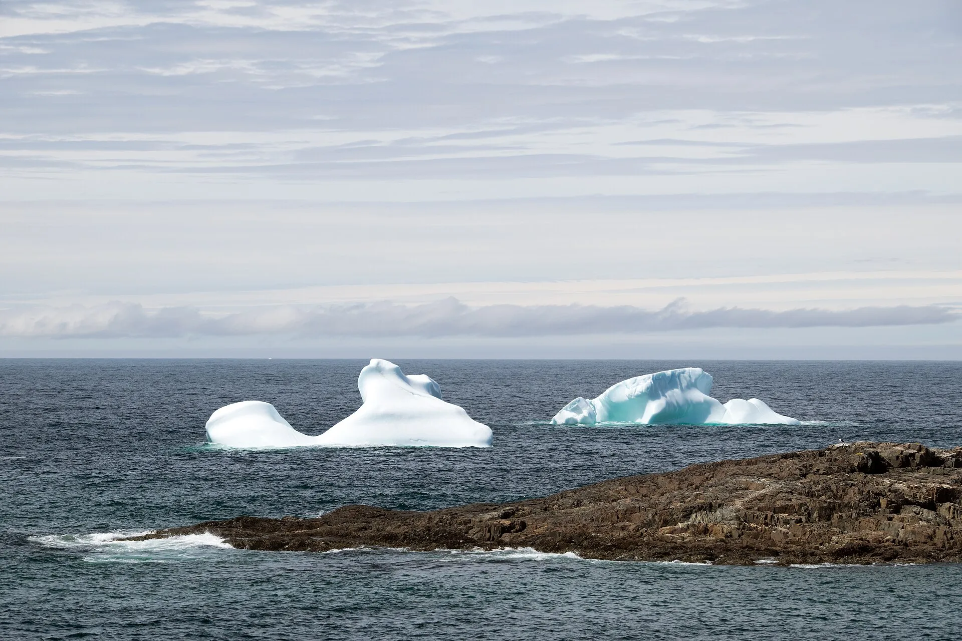
Fogo Island419 km + ferry
Farewell ferry terminal is 419.1 km from St. John's airport by road, on Routes 40, 1, 330, 331 and 335.
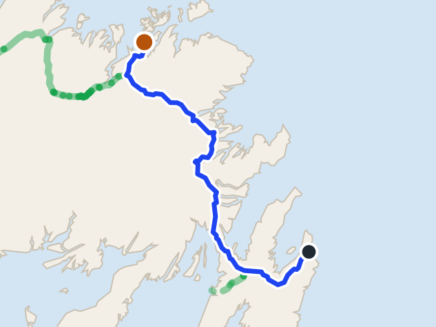 route map
Comfort Cove-Newstead422 km
Comfort Cove-Newstead is 422.3 km from St. John's airport: Route 40, the Trans-Canada through Gander, then Routes 340 and 343. Gander is far closer.
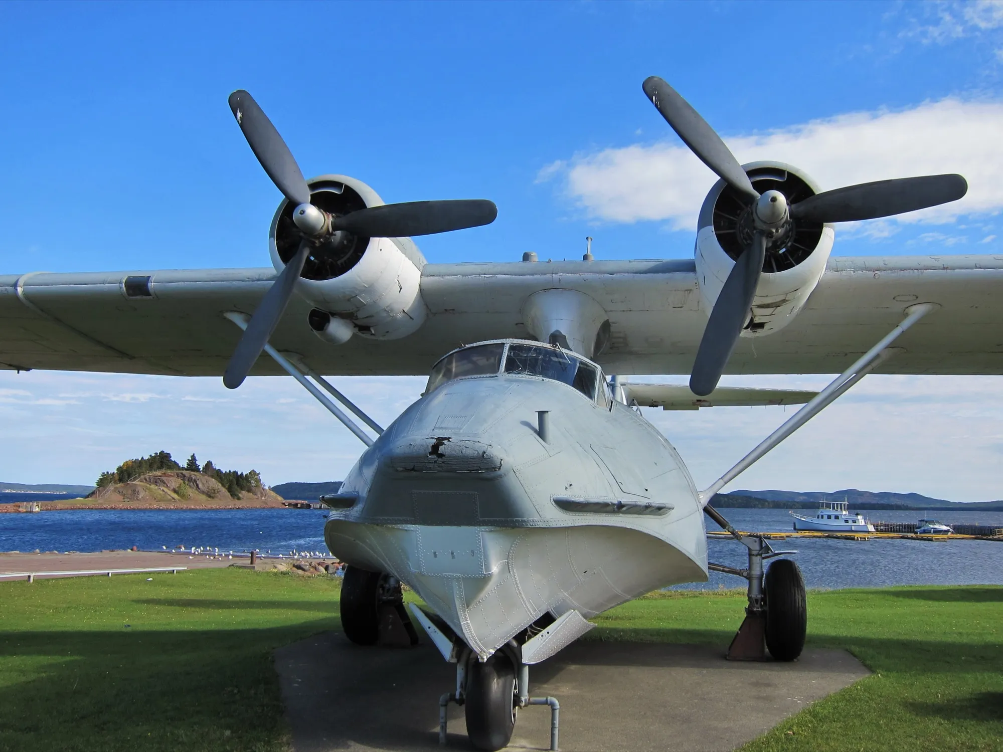
Botwood424 km
Botwood is 423.7 km from St. John's airport by road, on Routes 40, 1 and 350.
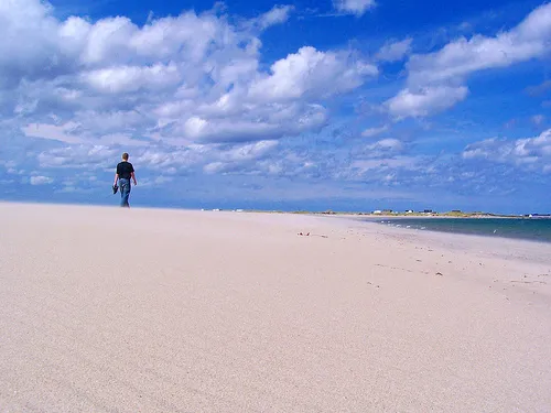
Musgrave Harbour426 km
Musgrave Harbour is 426.1 km from St. John's airport by road, on Routes 40, 1 and 330.
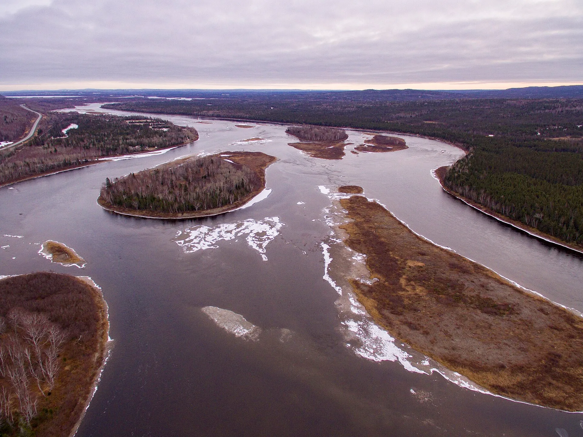
Grand Falls-Windsor430 km
Grand Falls-Windsor is 430 km from St. John's airport by road, on Routes 40 and 1.
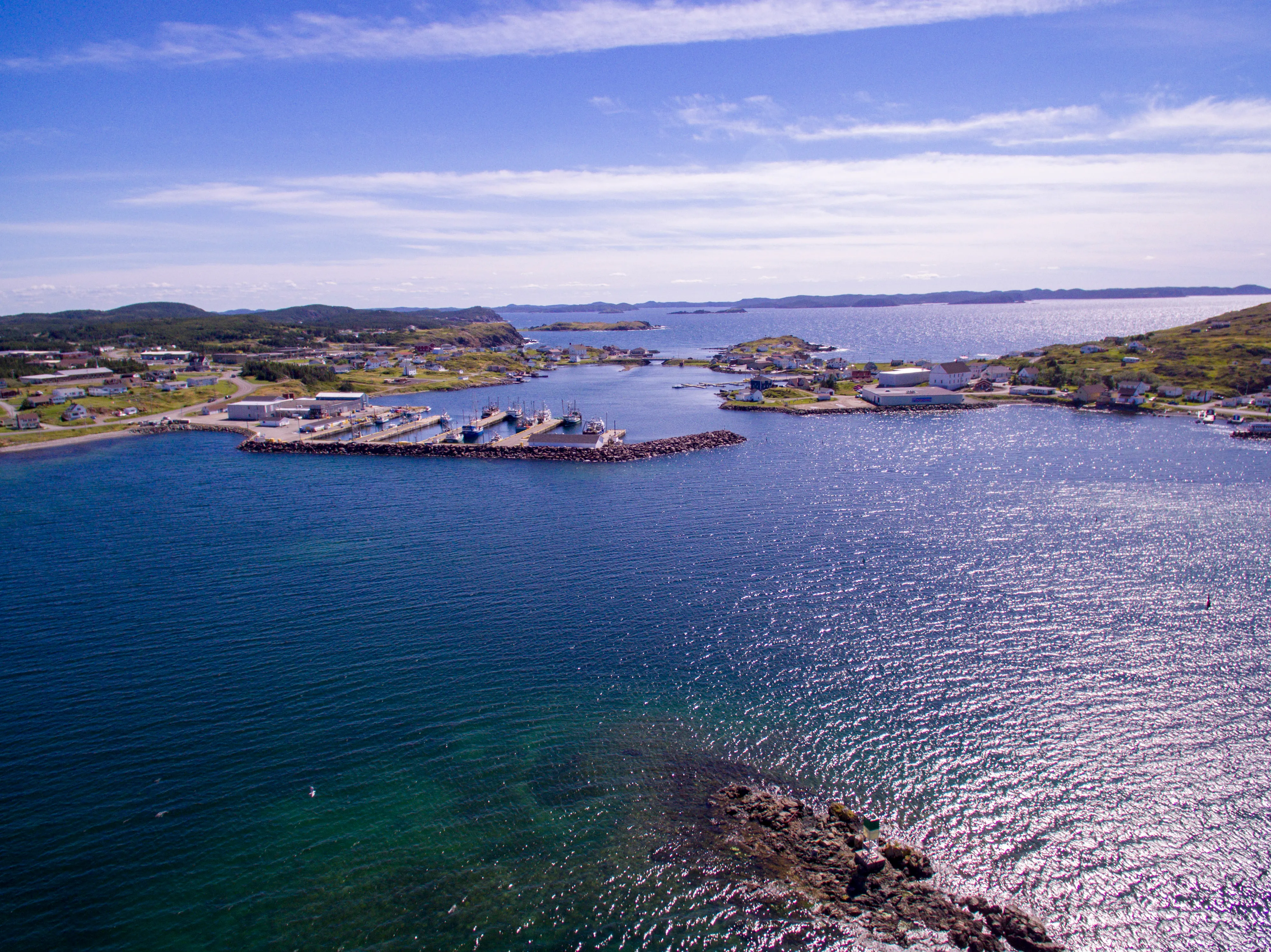
Twillingate447 km
Twillingate is 446.6 km from St. John's airport: Route 40, the Trans-Canada to Gander, then Routes 330, 331 and 340 north. Gander is far closer.
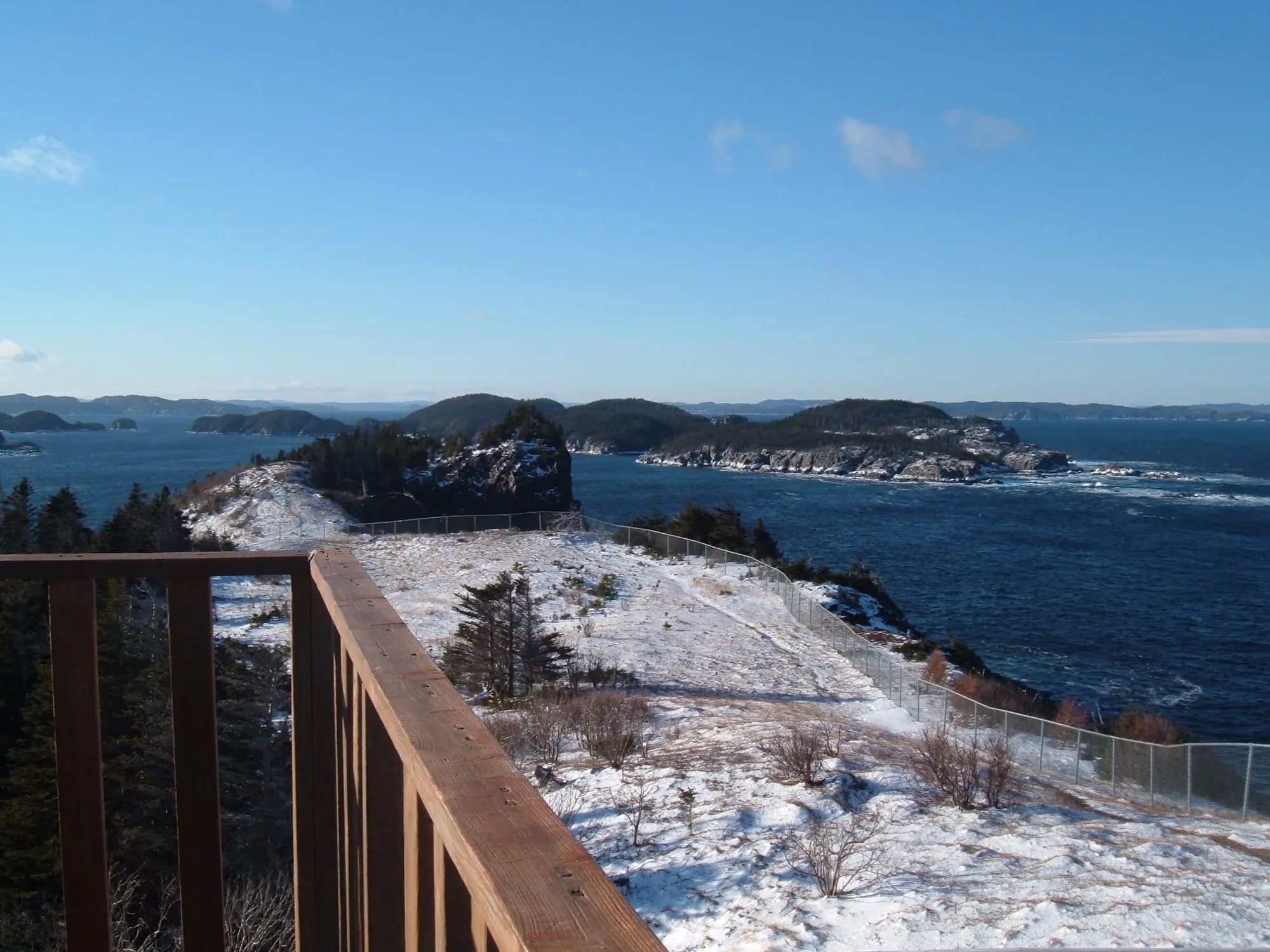
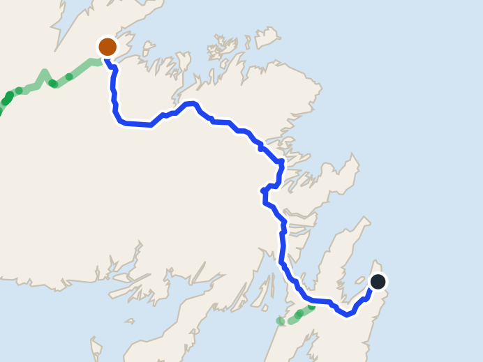
Leading Tickles480 km
Leading Tickles is 480 km from St. John's airport by road, on Routes 40, 1 and 350.
 route map
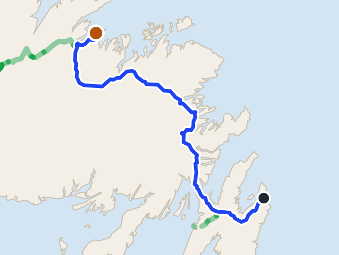
King's Point539 km
King's Point is 538.8 km from St. John's airport by road, on Routes 40, 1, 390 and 391.
 route map
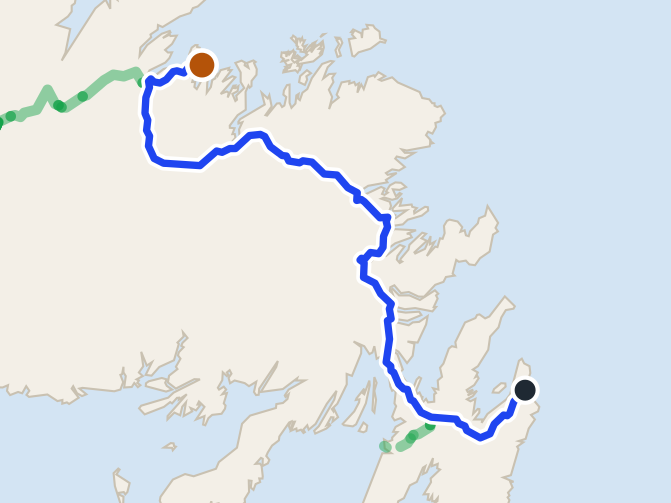
Long Island552 km + ferry
Pilley's Island ferry terminal is 551.8 km from St. John's airport by road, on Routes 40, 1, 380 and 382.
 route map
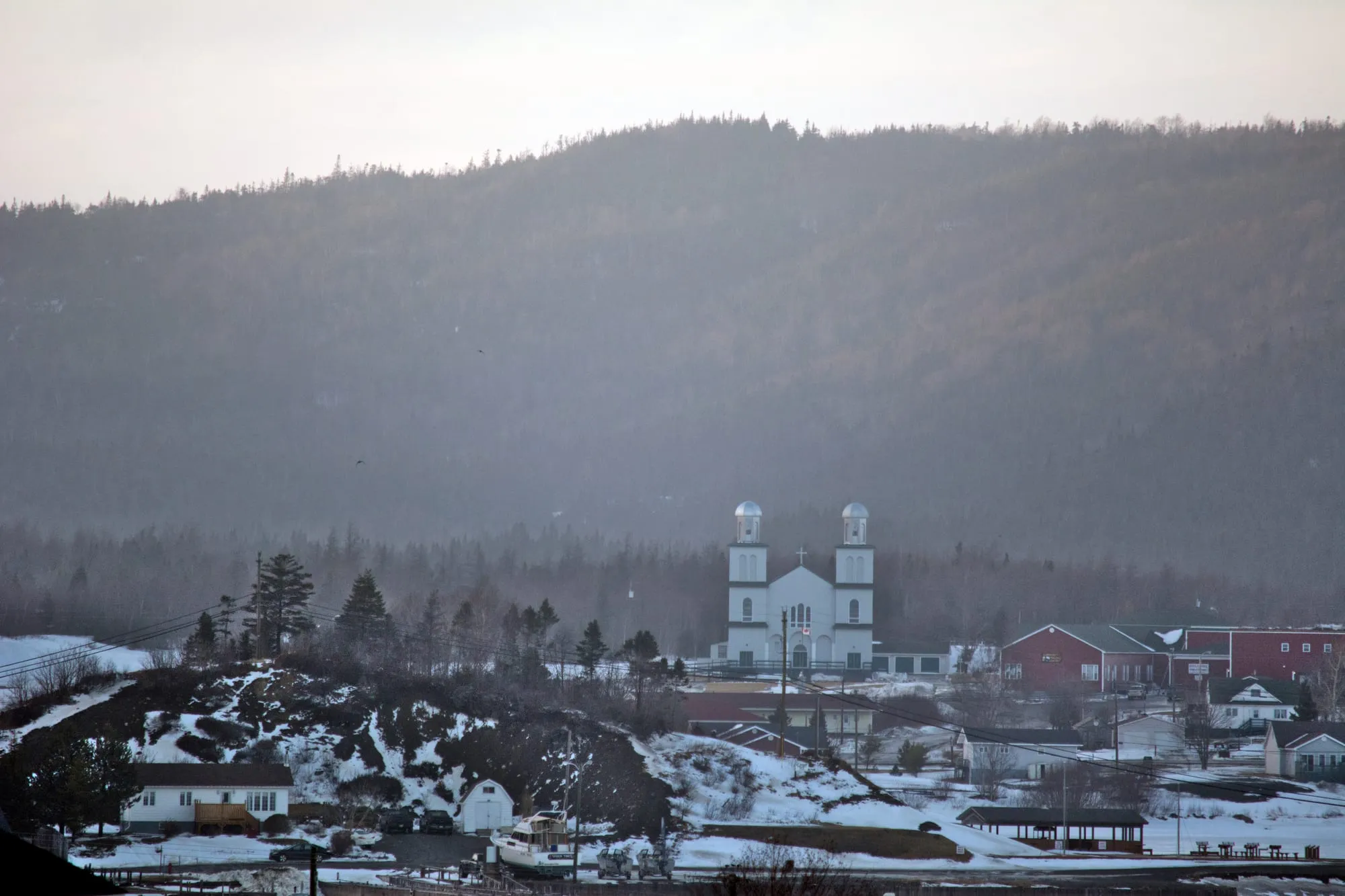
Triton556 km
Triton is 555.5 km from St. John's airport by road, on Routes 40, 1 and 380.
St. Alban's567 km
St. Alban's is 566.5 km from St. John's airport by road, on Routes 40, 1, 360 and 361.
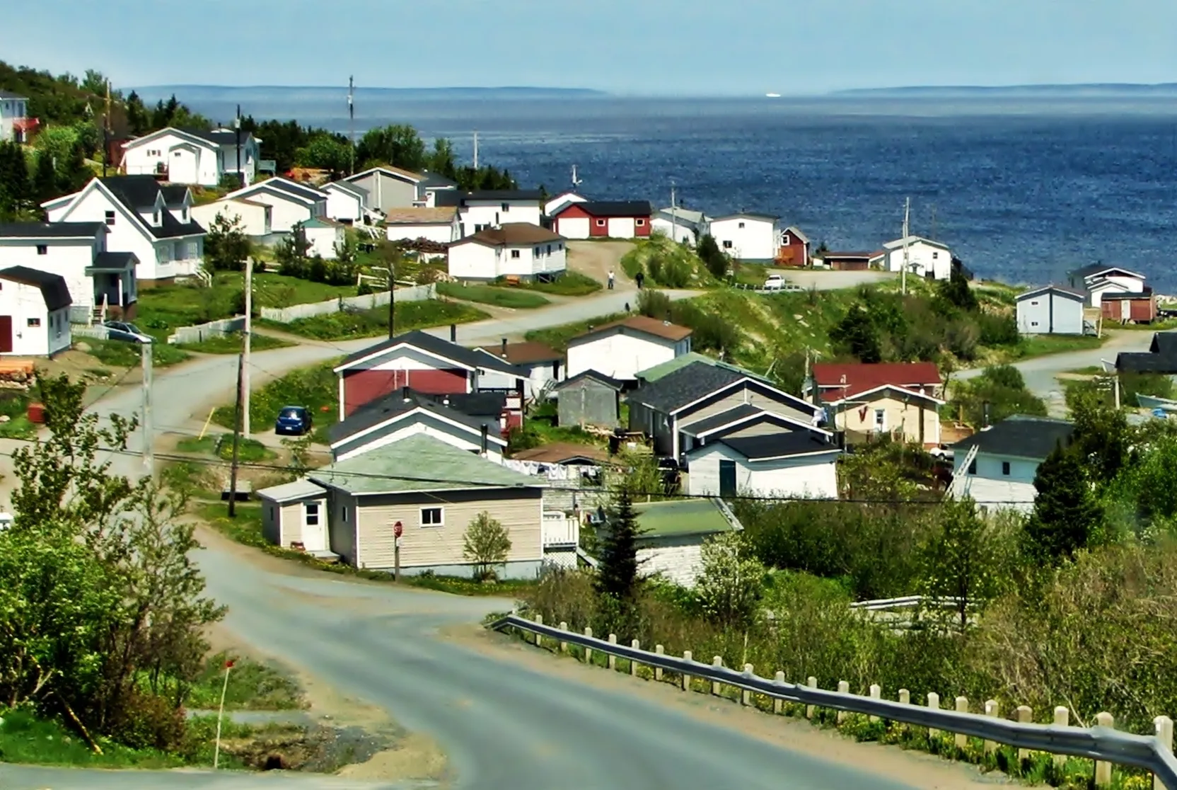
Baie Verte606 km
Baie Verte is 606.3 km from St. John's airport by road, on Routes 40, 1 and 410.
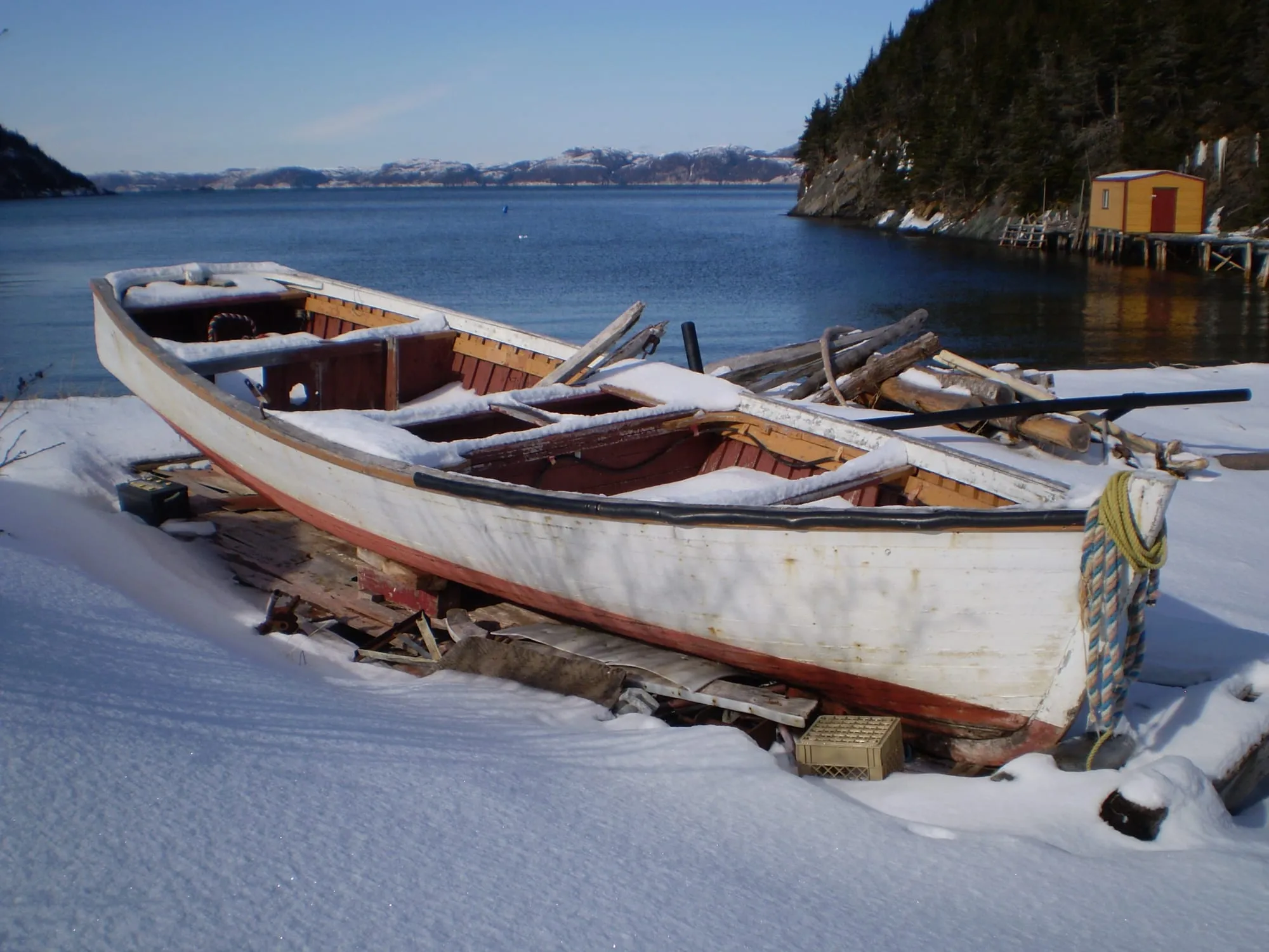
Hermitage608 km + ferry
Hermitage-Sandyville is 607.7 km from St. John's airport by road, on Routes 40, 1, 360 and 364.
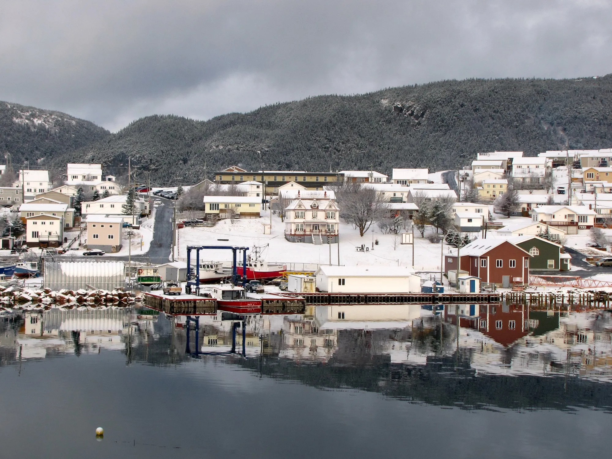
Harbour Breton612 km
Harbour Breton is 611.8 km from St. John's airport by road, on Routes 40, 1 and 360.
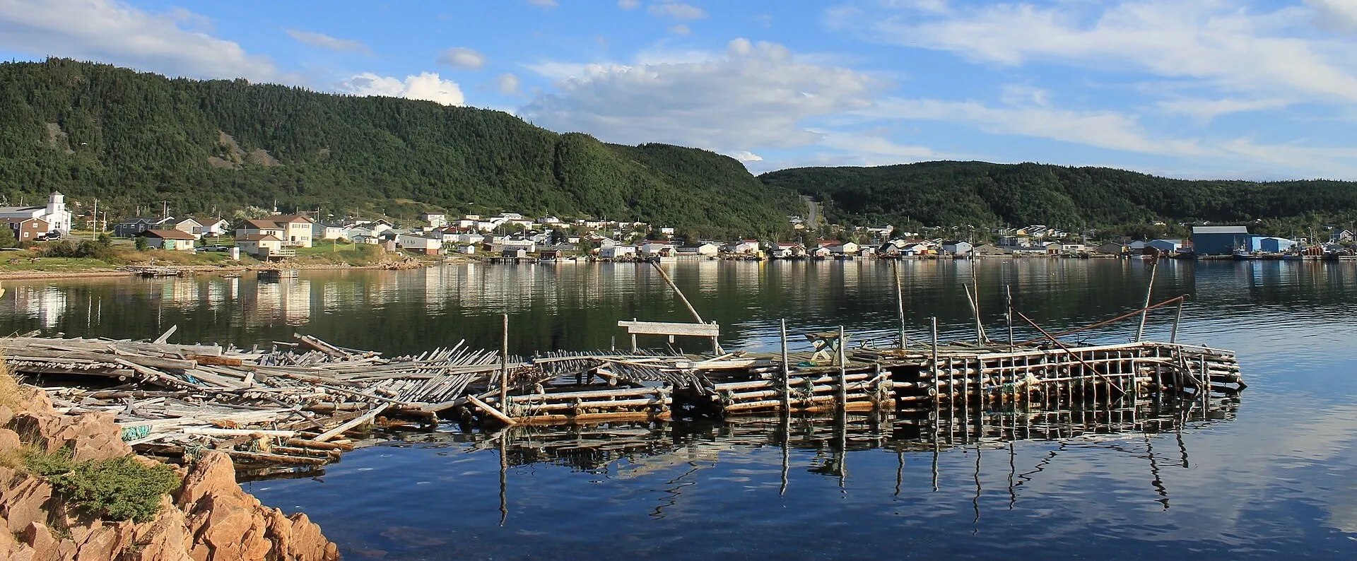
La Scie655 km
La Scie is 655.3 km from St. John's airport by road, on Routes 40, 1, 410 and 414.
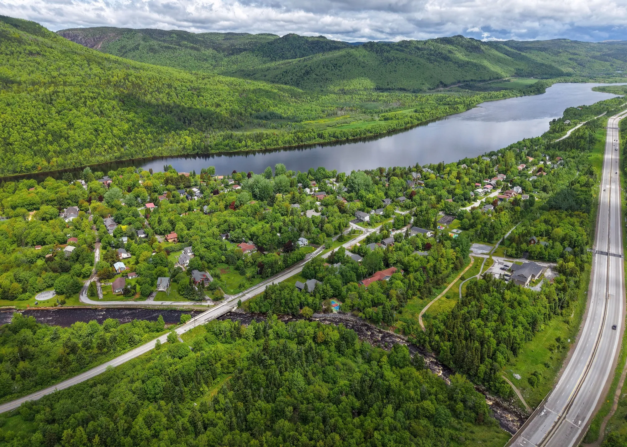
Marble Mountain682 km
Marble Mountain Base Lodge is 682.2 km from St. John's airport by road, on Routes 40 and 1.
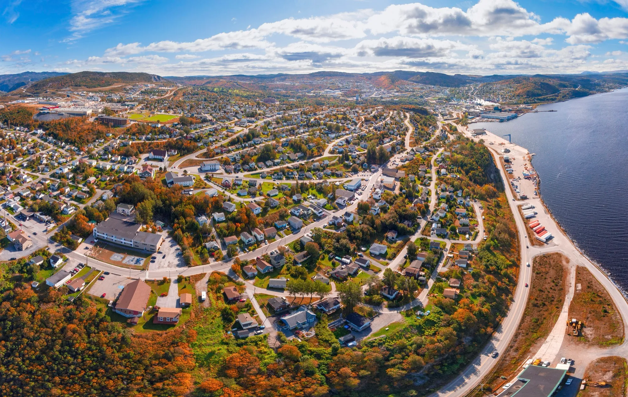
Corner Brook692 km
Corner Brook is 691.8 km from St. John's airport by road, on Routes 40, 1 and 450A. Deer Lake airport is closer.
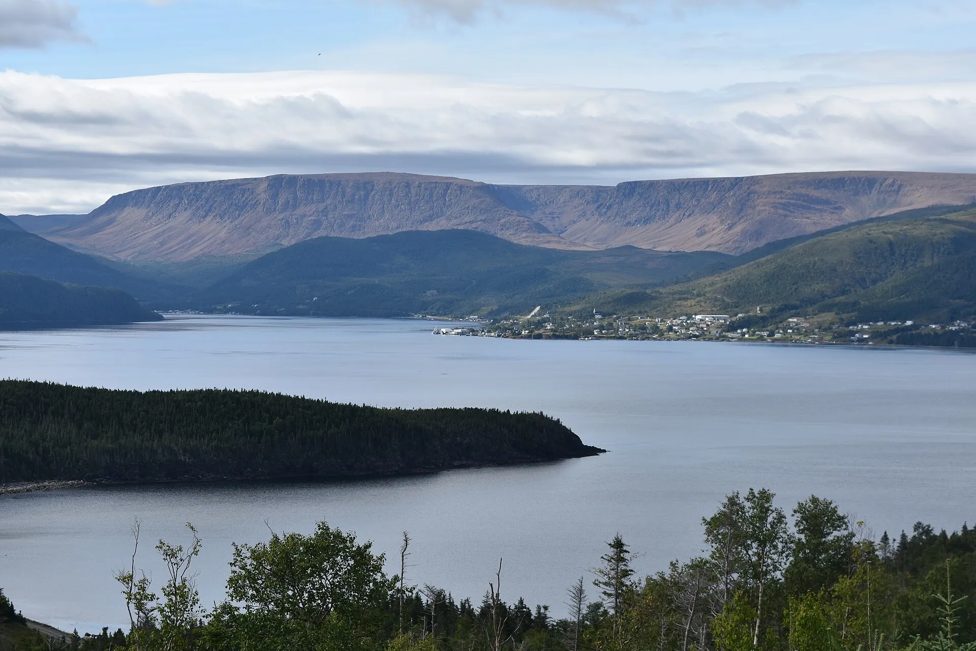
Woody Point702 km
Woody Point is 702.1 km from St. John's airport by road, on Routes 40, 1, 430 and 431.
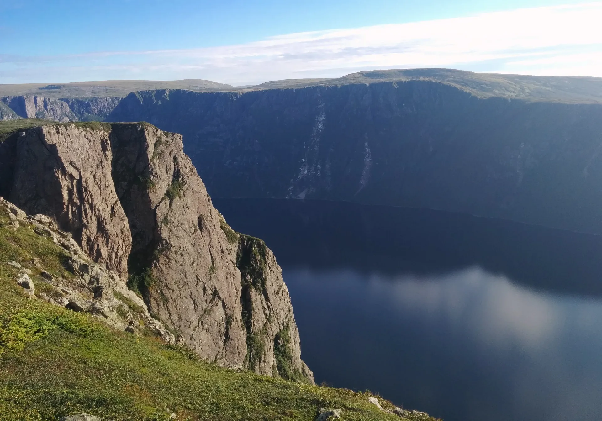
Gros Morne (Rocky Harbour)707 km
Rocky Harbour is 706.9 km from St. John's airport by road, on Routes 40, 1 and 430.
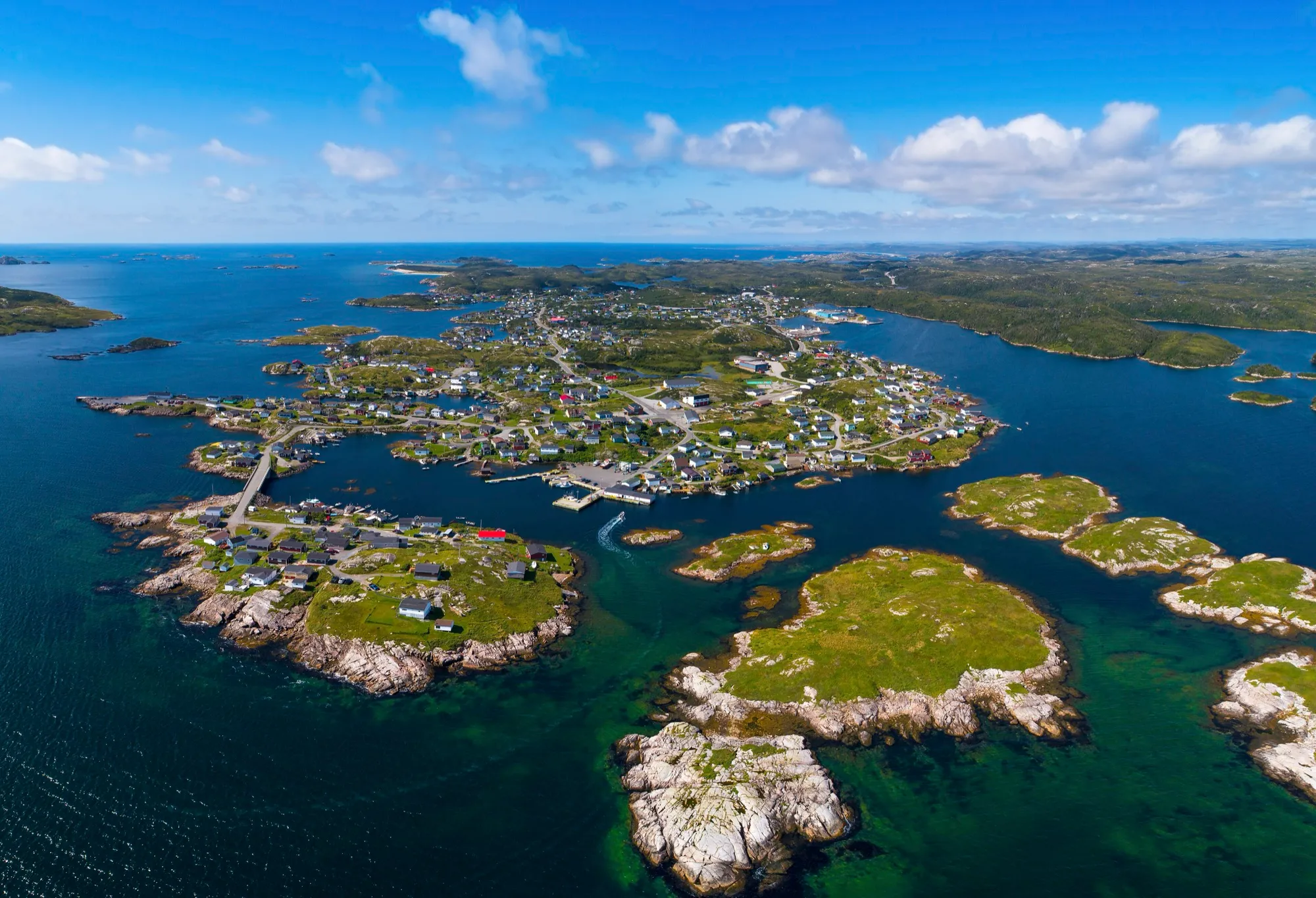
Burgeo717 km + ferry
Burgeo is 716.9 km from St. John's airport by road, on Routes 40, 1, 370 and 480.
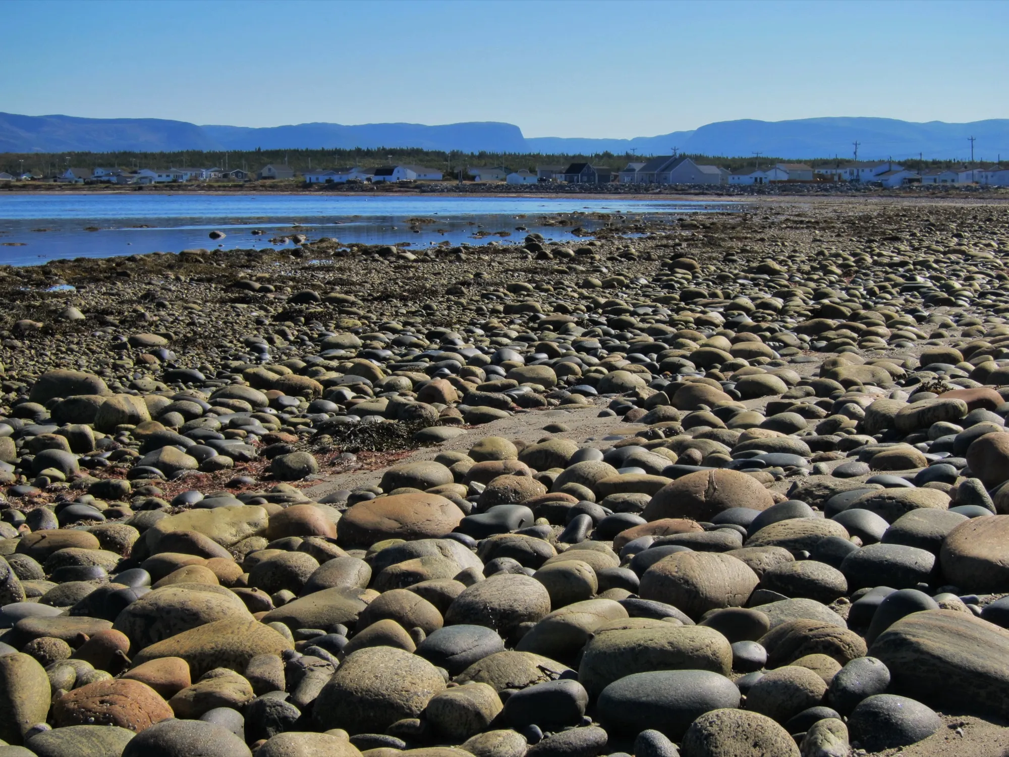
Cow Head753 km
Cow Head is 753.3 km from St. John's airport by road, on Routes 40, 1 and 430.
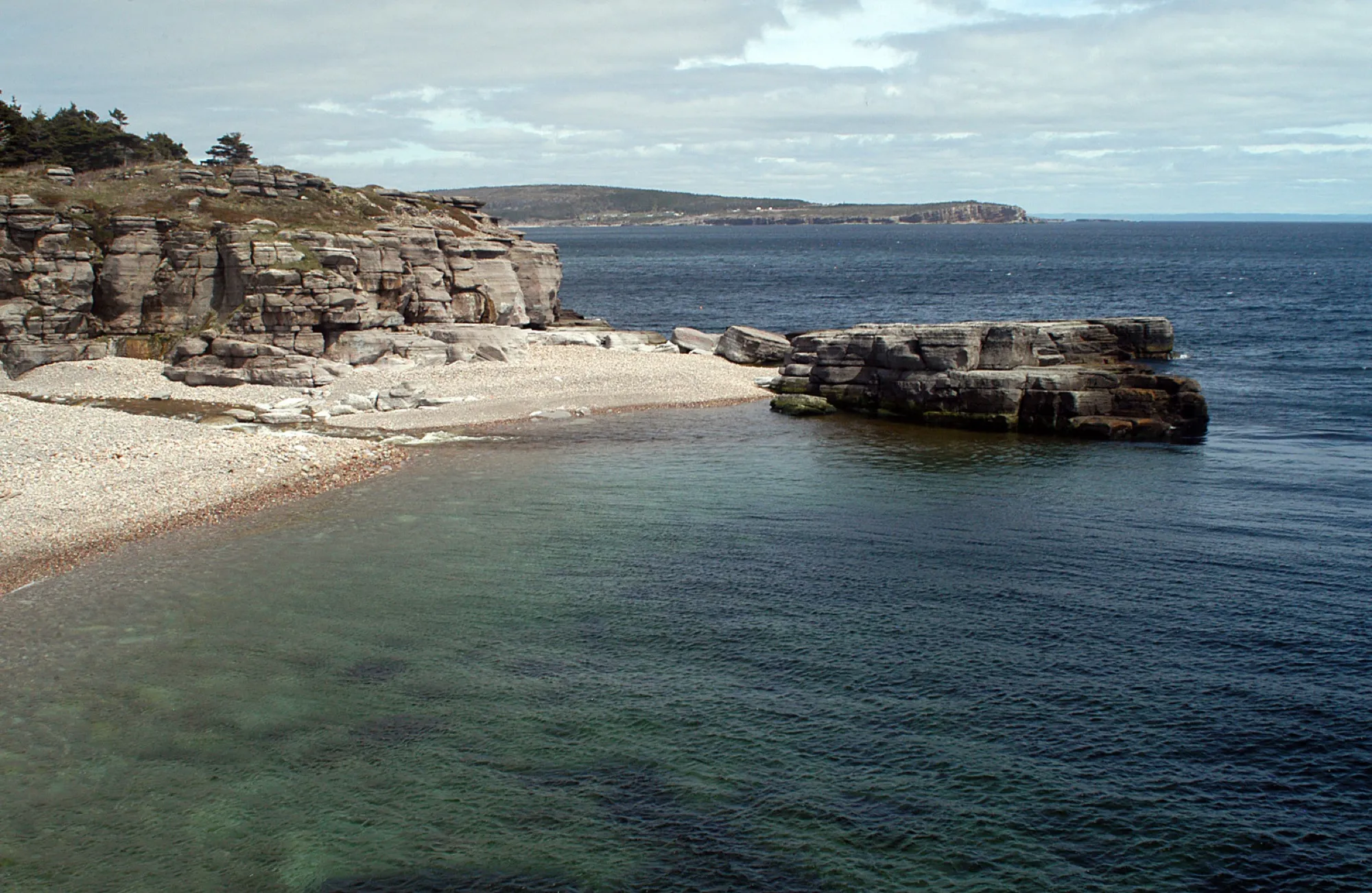
Cape St. George823 km
Cape St. George is 823 km from St. John's airport by road, on Routes 40, 1 and 460.
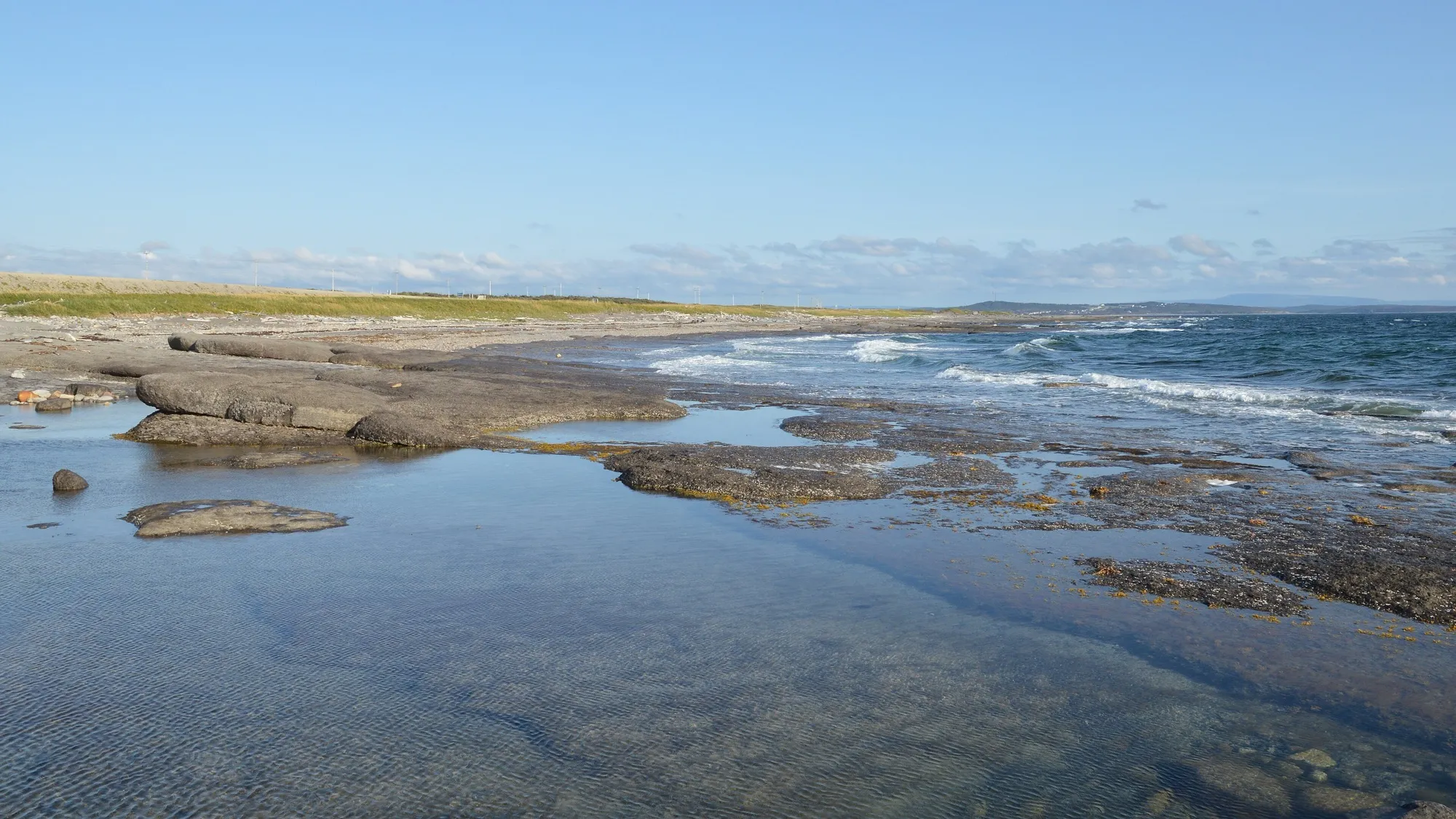
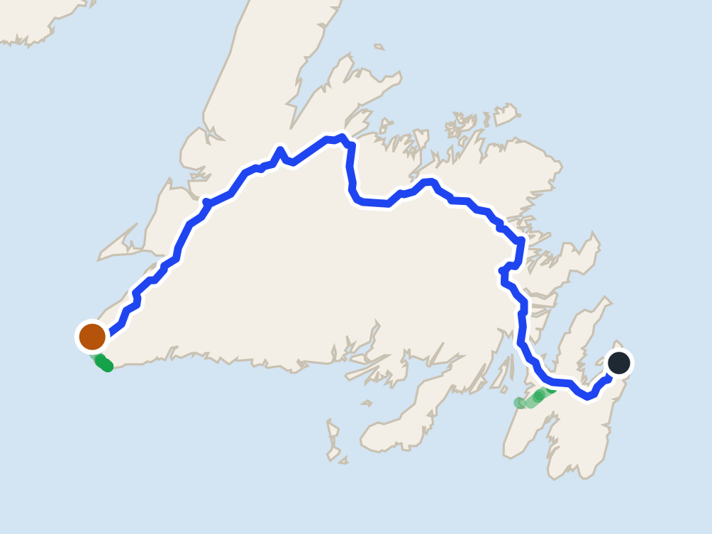
Port au Choix871 km
Port au Choix is 870.8 km from St. John's airport by road, on Routes 40, 1 and 430.
 route map
Codroy Valley880 km
Codroy Valley is 880.1 km from St. John's airport by road, on Routes 40, 1, 406 and 407.
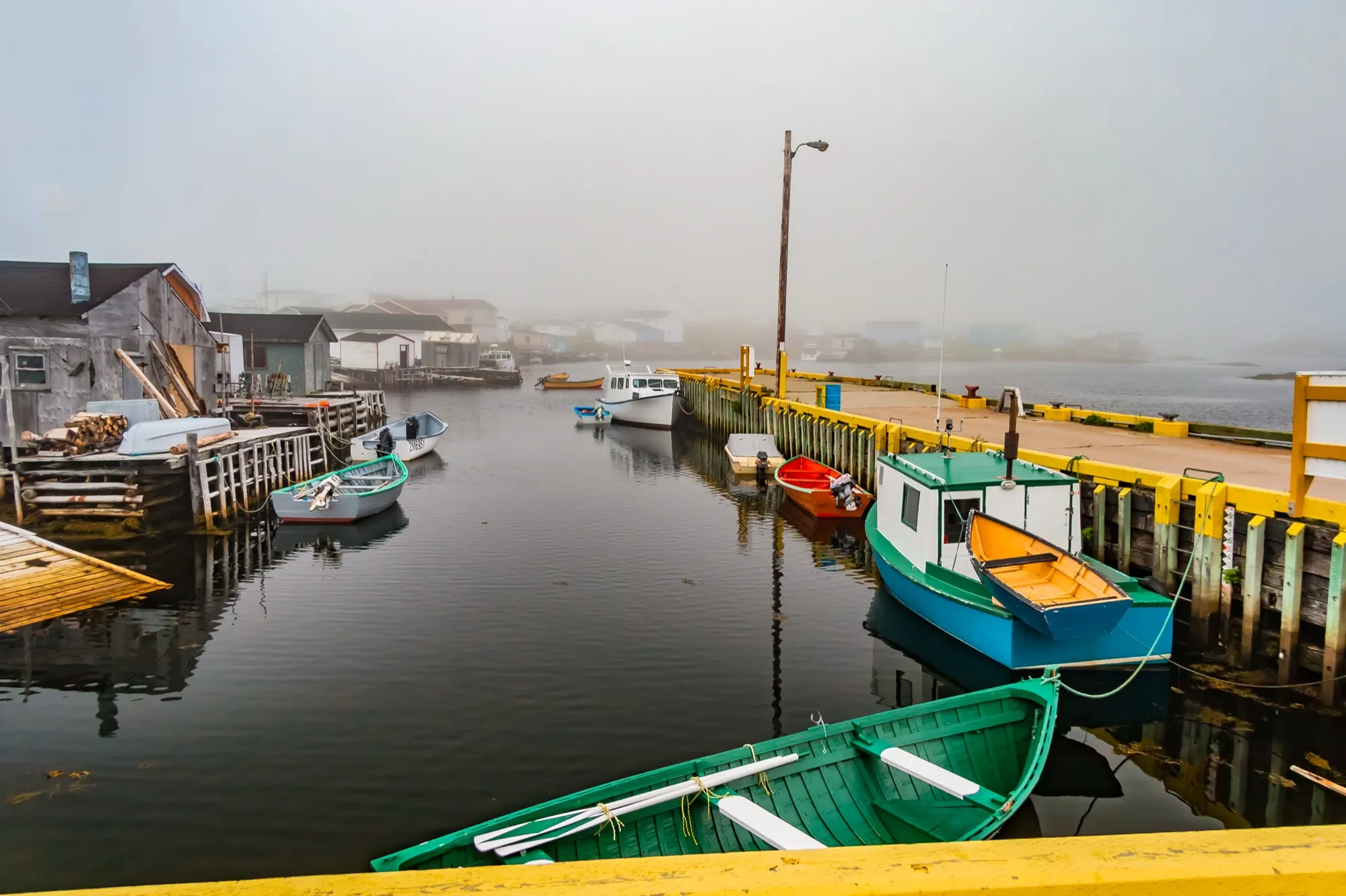
Port aux Basques906 km + ferry
Port aux Basques is 905.8 km from St. John's airport by road, on Routes 40 and 1.
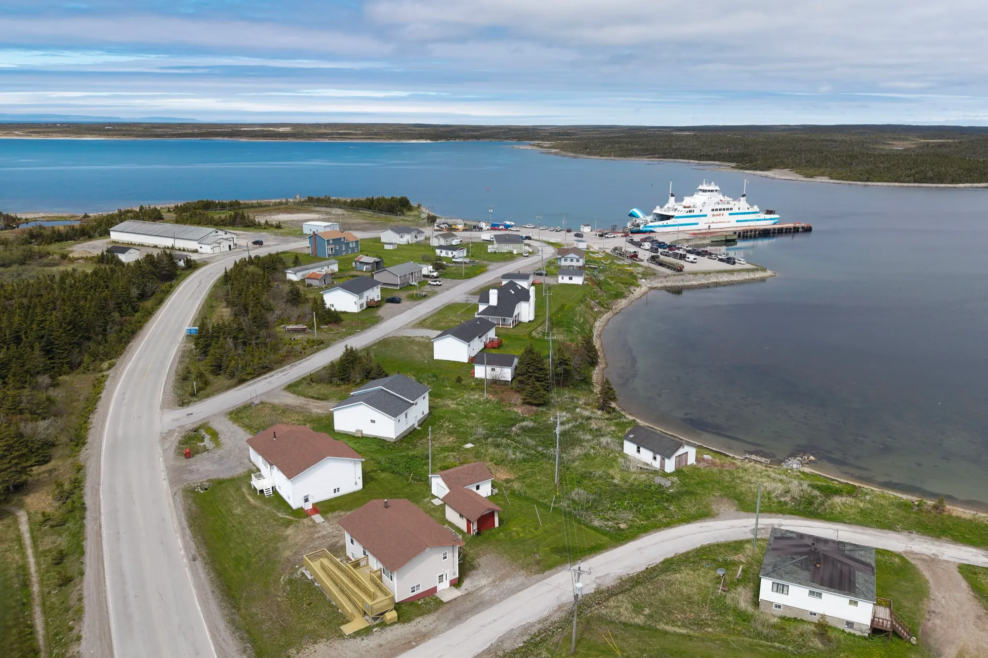
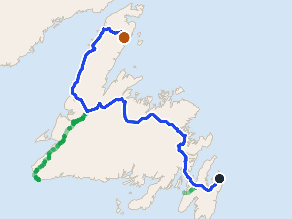
St. Barbe ferry934 km + ferry
St. Barbe ferry terminal is 934.1 km from St. John's airport by road, on Routes 40, 1 and 430.
 route map
Roddickton986 km
Roddickton is 986.3 km from St. John's airport by road, on Routes 40, 1, 430, 432 and 433.
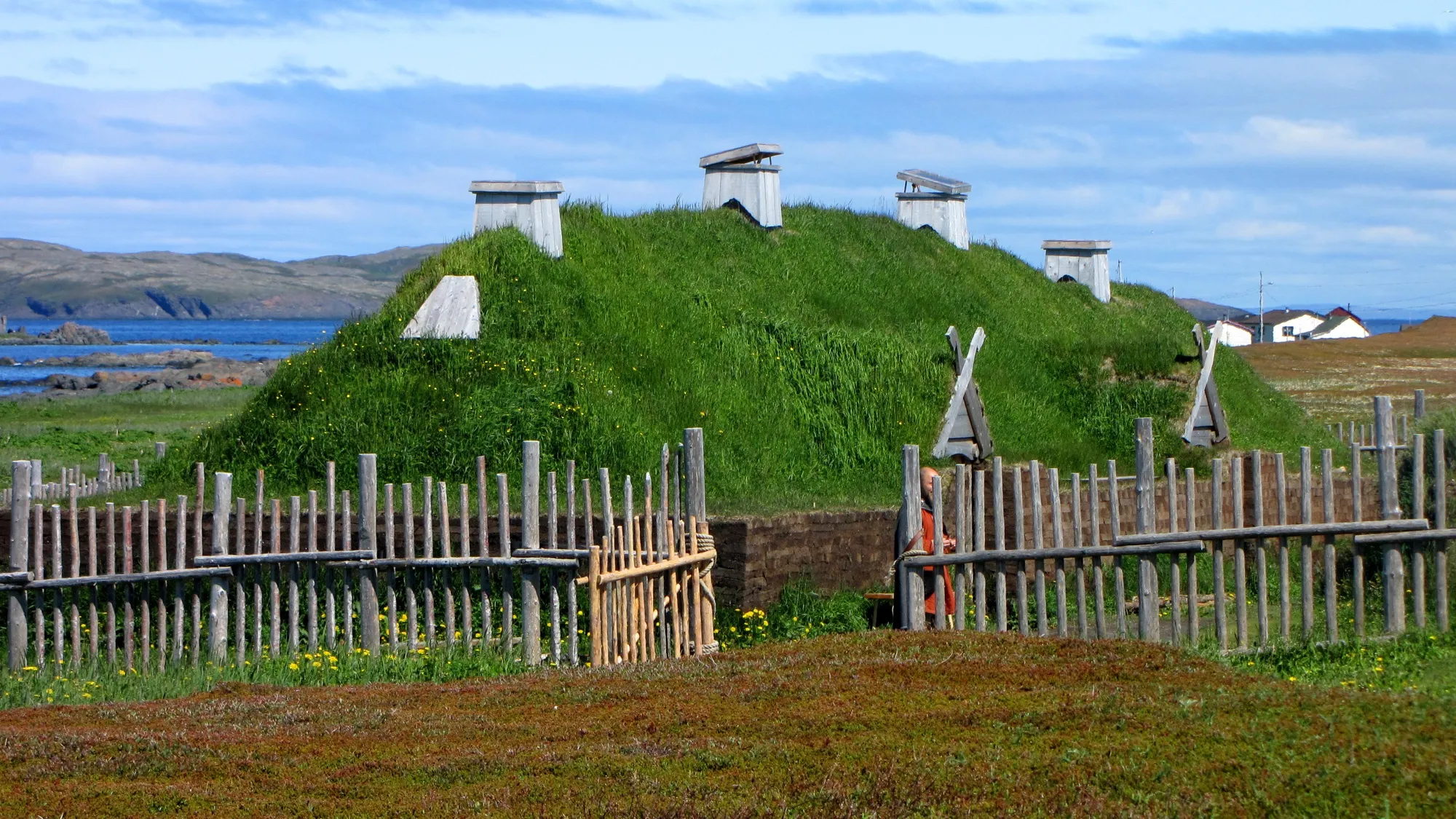
L'Anse aux Meadows1071 km
L'Anse aux Meadows is 1071.3 km from St. John's airport by road, on Routes 40, 1, 430 and 436.
Compare every destination from every airport and ferry on the full table → · Parking and arrivals are on the airport's own site →
Eating before you drive: 225 places the open map records in St. John's → — alphabetical, with addresses and phone numbers.