Arriving at Gander (YQX)
Driving from Gander International Airport (YQX)
58 drives measured from the Gander airport, nearest first. Each route page shows when it was measured.
No car? Outside town there is usually no other way to these places. What you can walk to, and the taxis and buses at the terminal →
Staying in Gander? Town is 3.7 km from the terminal. Guides with places measured from here: Provincial parks · Harbours · Stargazing · Twillingate · Icebergs near Gander · Change Islands · Flying in small · When the boat doesn't sail · Where to base yourself · National park campgrounds. Where to base yourself →
Renting? Book the car when you book the flight. Cars book up fast in summer, says the province's tourism desk; in June 2026 BNN Bloomberg reported St. John's airport agencies booked for nearly the whole summer.
Rental counters at Gander, with numbers →
When to come? Best months for icebergs, whales, puffins and warm weather →
If you have one day
Picked by us, first choice first. Distances are by road from the airport.
Staying in a town? Easy days out from Gander · Lewisporte · Dover · Botwood · Musgrave Harbour · another town →
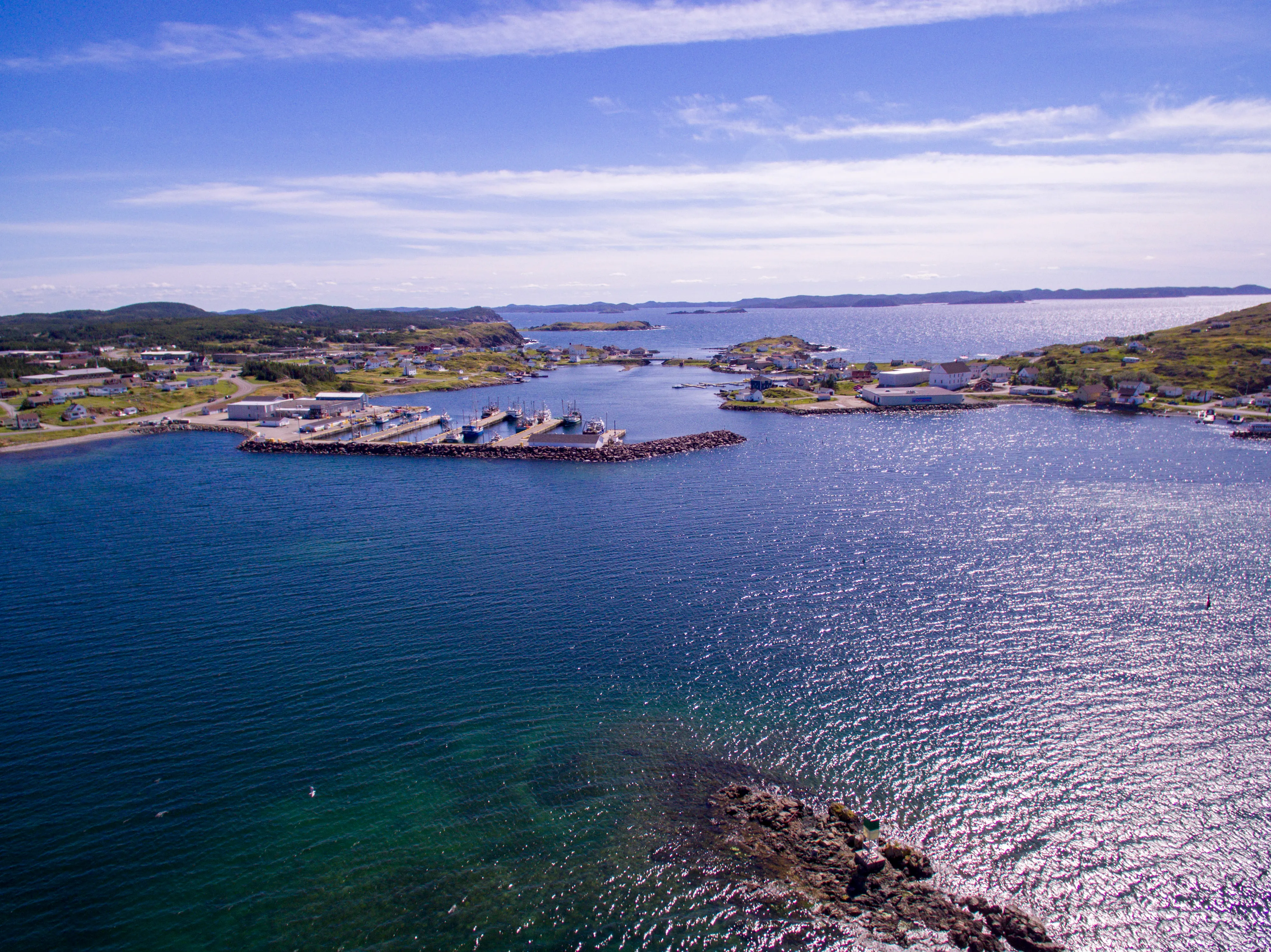 Shhewitt · CC BY-SA 4.0
If you only do one
Twillingate 114 km
Icebergs in early summer, and whales offshore.
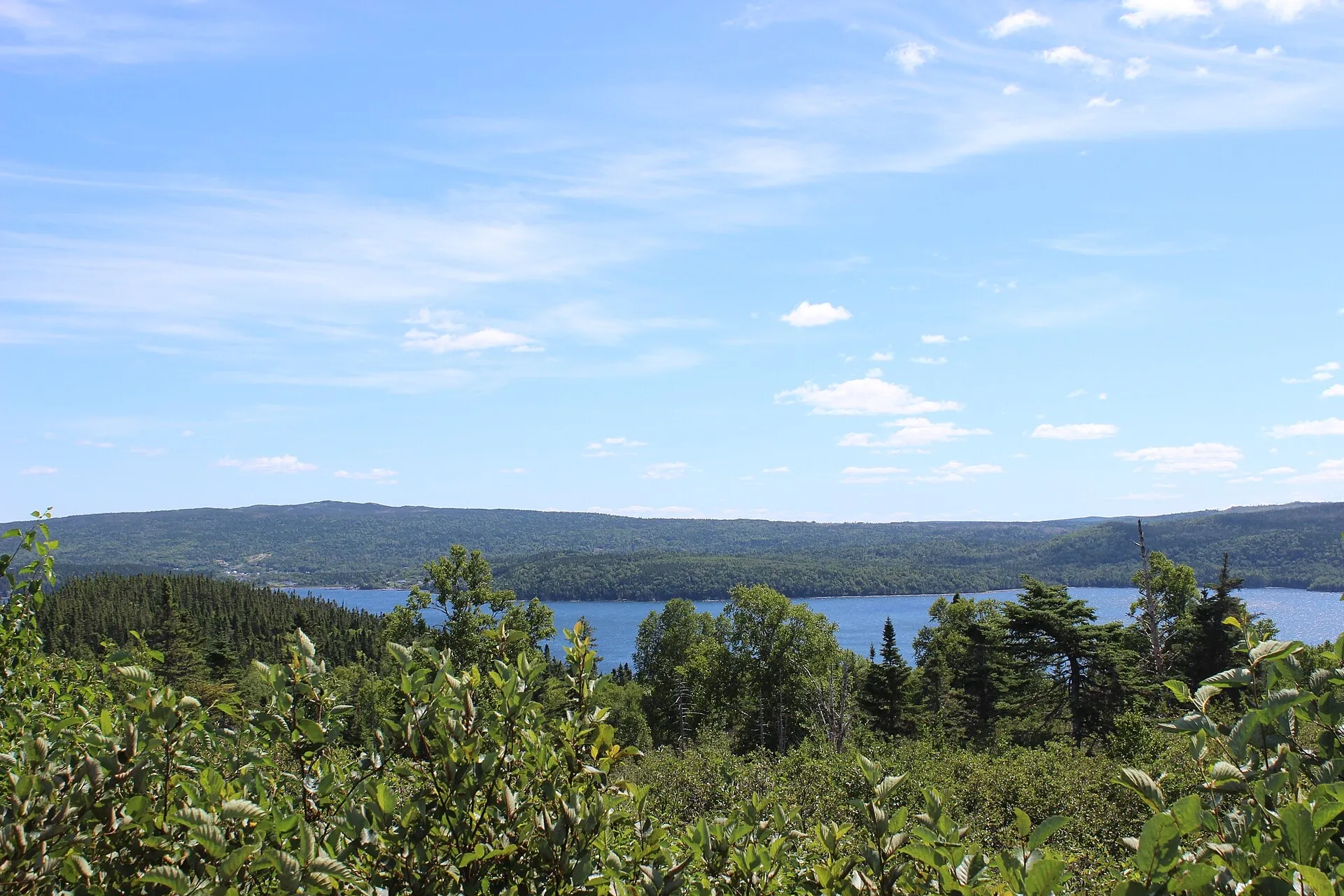 rcheng30 · CC BY-SA 4.0
Terra Nova 78 km
A national park straight down the Trans-Canada: coastal trails and a dark-sky preserve.
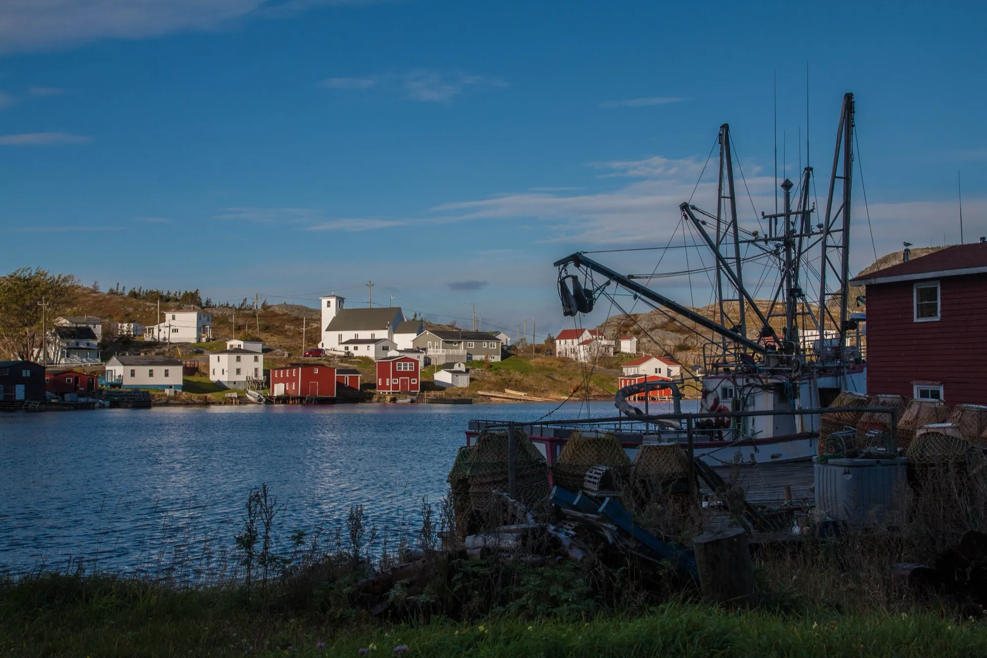 Maciej · CC BY-SA 2.0
Salvage 97 km
One of the oldest fishing villages on this coast, at the end of the Eastport peninsula.
Walks from Gander
- Cobb's Pond Loop · 4.5 km loop · easy6.1 km driveor 30 min on foot from town
- Edgar Baird Lakeside Trail · 4.2 km walk · easy8.4 km drive
- Eelbrook Hiking Trail · 2.5 km loop · easy56 km drive
- Carmanville Wetlands Main Line · 3 km walk · easy64 km drive
- Gill's Point Trail · 8.2 km walk · moderate65 km drive
Heading to Cape Spear? St. John's airport is 323 km closer. See St. John's → or compare them all
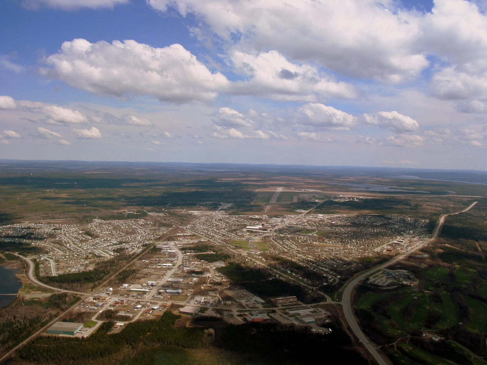
Gander town3.7 km
Gander Airport to the town of Gander: 3.7 km on town streets, with the aviation museum and the old wartime townsite close by.
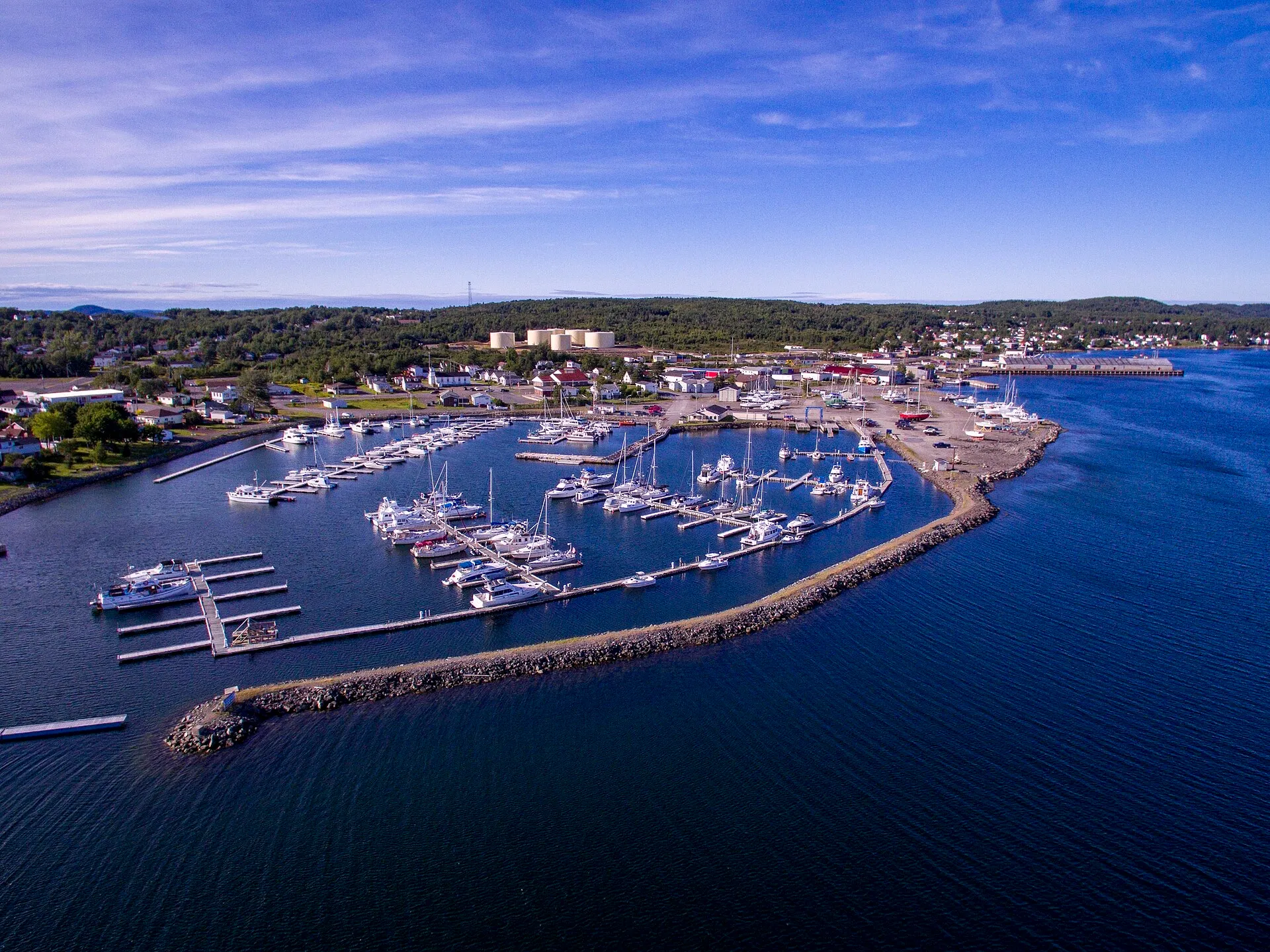
Lewisporte63 km
You land at Gander and Lewisporte is 63 km north-west: the Trans-Canada west, then Routes 340 and 341 north to the bay.
 route map
Dover73 km
Gander airport to Dover is 73 km northeast via Routes 1 and 320 to the mapped fault line where two ancient continents meet.
Terra Nova78 km
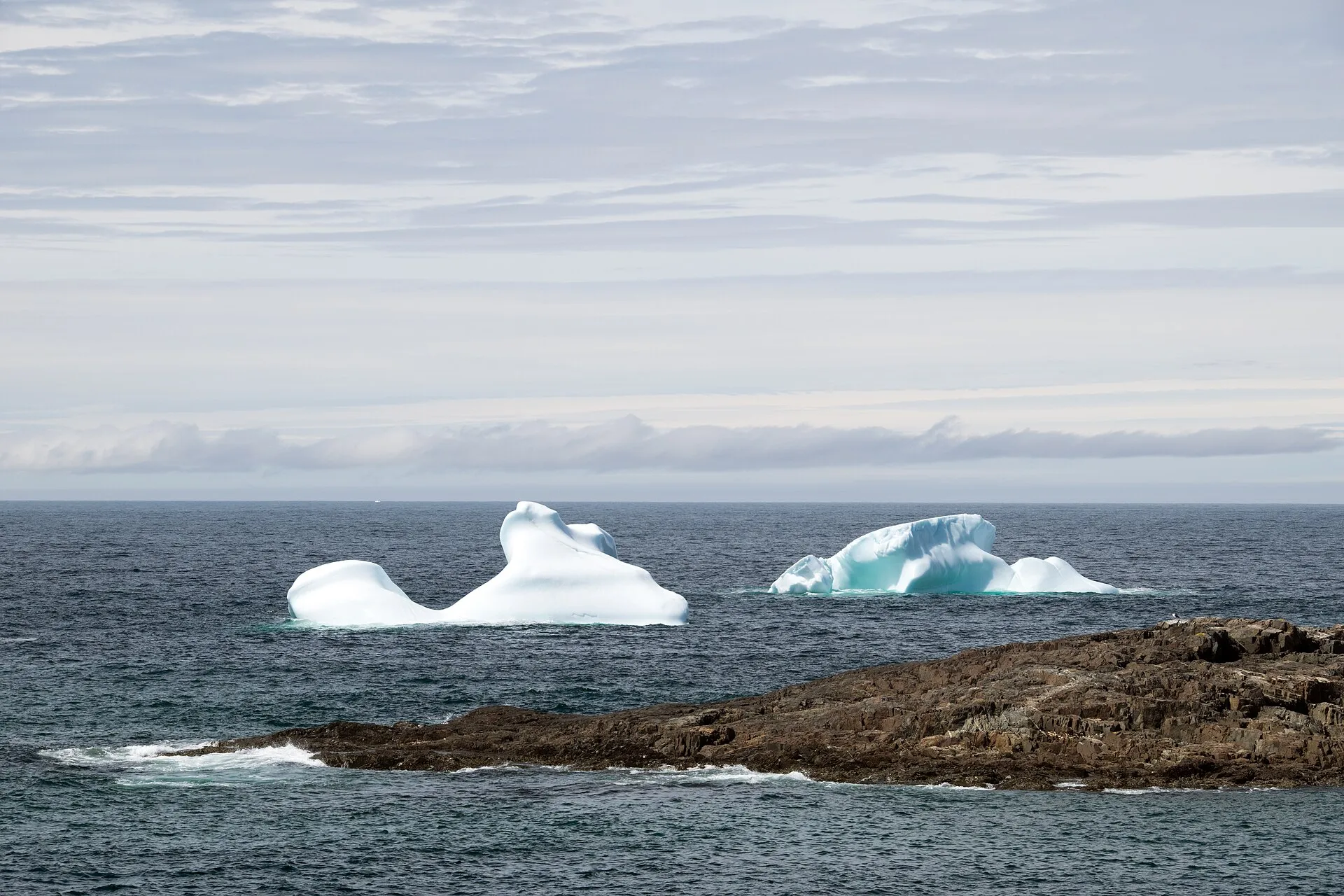
A national park 77.8 km from Gander, straight down the Trans-Canada, with no ferry and no season to plan around.
Fogo Island86 km + ferry
The drive from Gander to the Farewell ferry is 86 km. Then a ferry to Fogo Island.
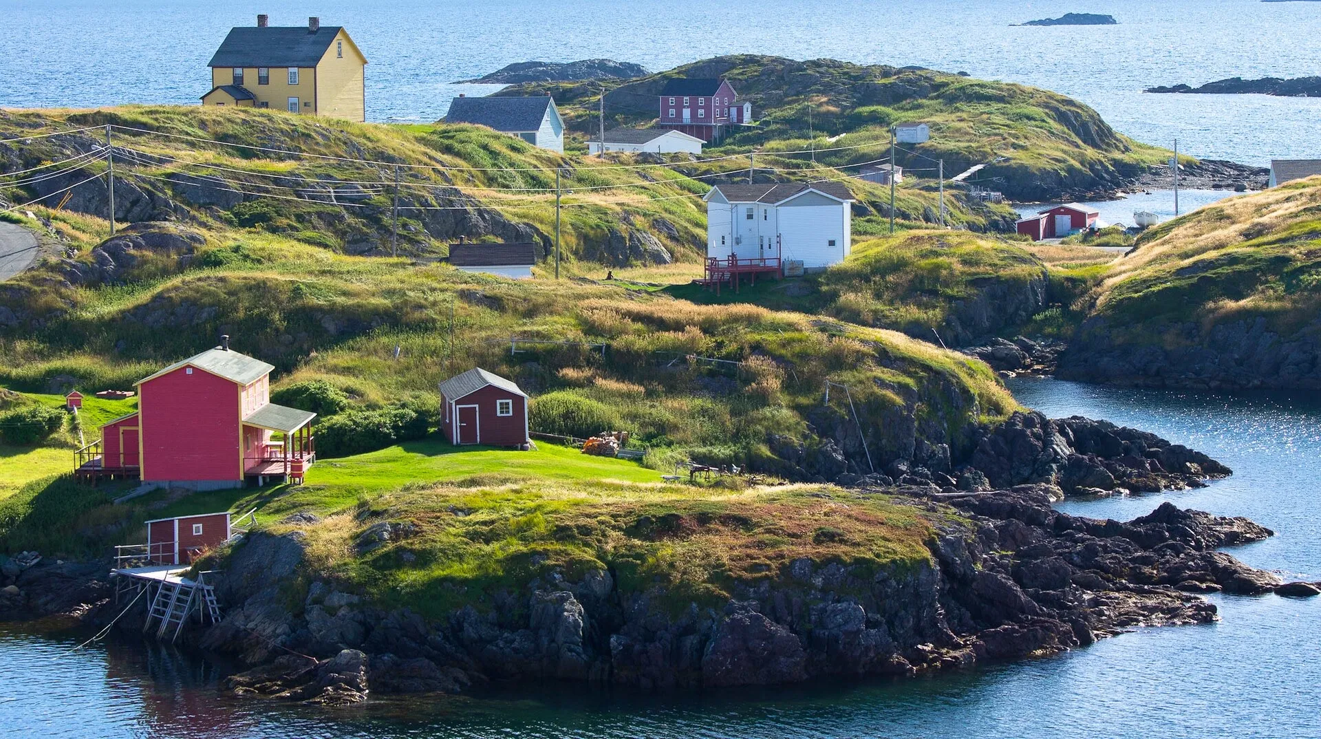
Change Islands86 km + ferry
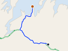
Same drive as the Fogo run, 86 km to the Farewell ferry, but you get off at the first stop instead of the second.
 route map
Comfort Cove-Newstead91 km
You land at Gander and Comfort Cove-Newstead is 90.7 km away: the Trans-Canada west, Route 340 north, then Route 343 to the Bay of Exploits.
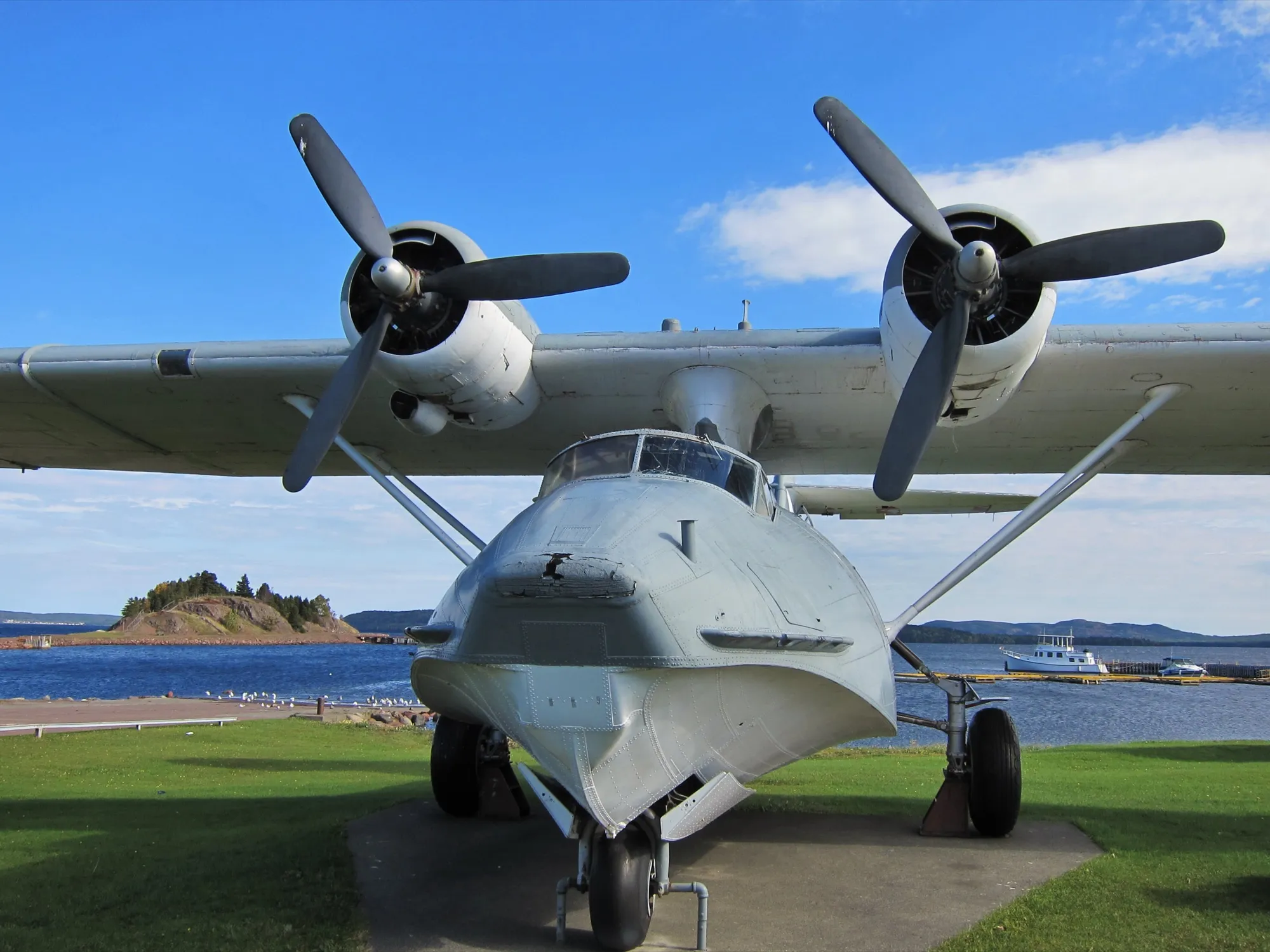
Botwood92 km
92.1 km to the town where the transatlantic flying boats landed, the other half of Gander's aviation story.
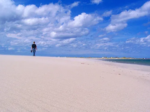
Musgrave Harbour93 km
You land at Gander and the Straight Shore is 93 km northeast on Route 330, one road, with kilometres of mapped beach at the end.
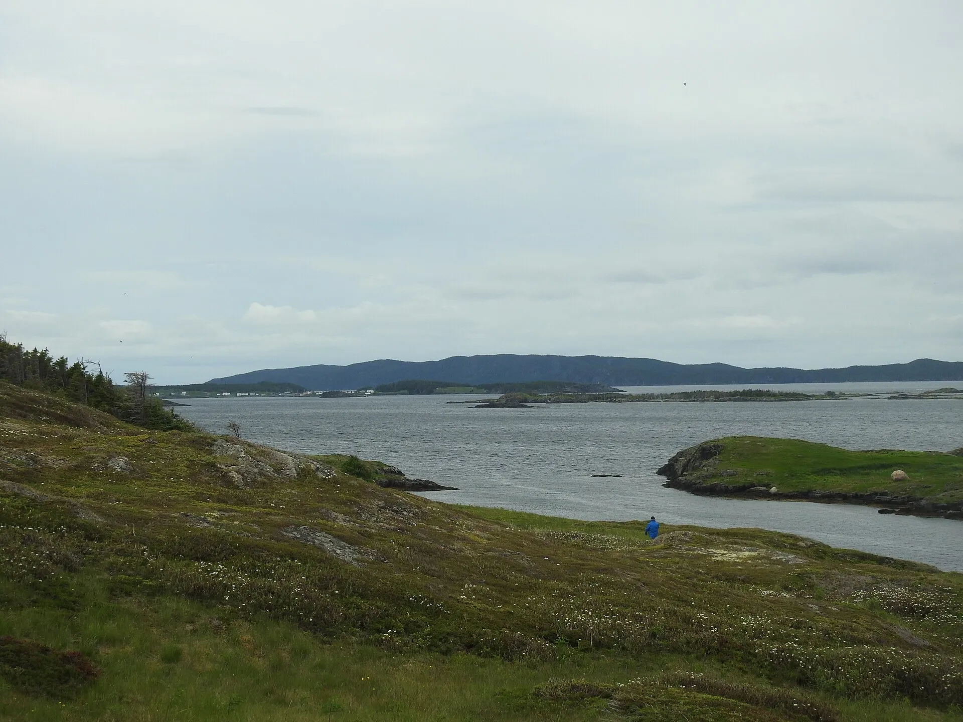
St. Brendan's94 km + ferry
94.3 km to the Burnside wharf — nearer than Twillingate — then an hour on the water to an island almost nobody plans for.
Salvage97 km
You land at Gander and Salvage is 97 km southeast via Routes 1 and 310, through the Eastport beaches to one of the oldest fishing villages on the coast.
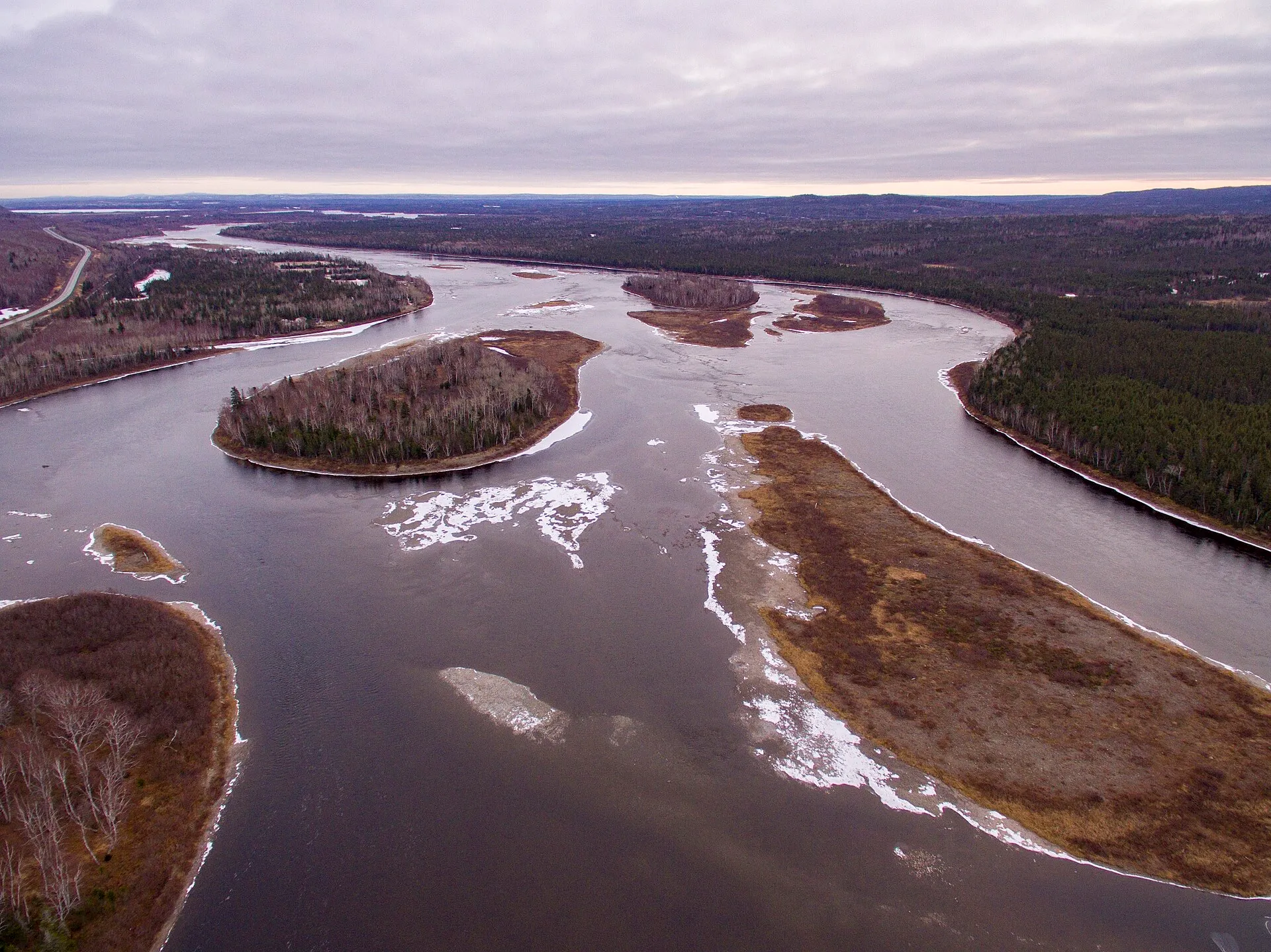
Grand Falls-Windsor98 km
98.3 km straight down the Trans-Canada — the largest town between Gander and Deer Lake, and the one with everything open.
Twillingate114 km
You land at Gander and the icebergs are 114 km north. Here is the drive on Routes 330, 331 and 340, and what is worth stopping for on the way.
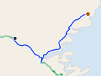 route map
New-Wes-Valley119 km
You land at Gander and New-Wes-Valley is 119 km northeast via Routes 1 and 320 to Wesleyville's amalgamated coast, with the Newtown spur beyond.
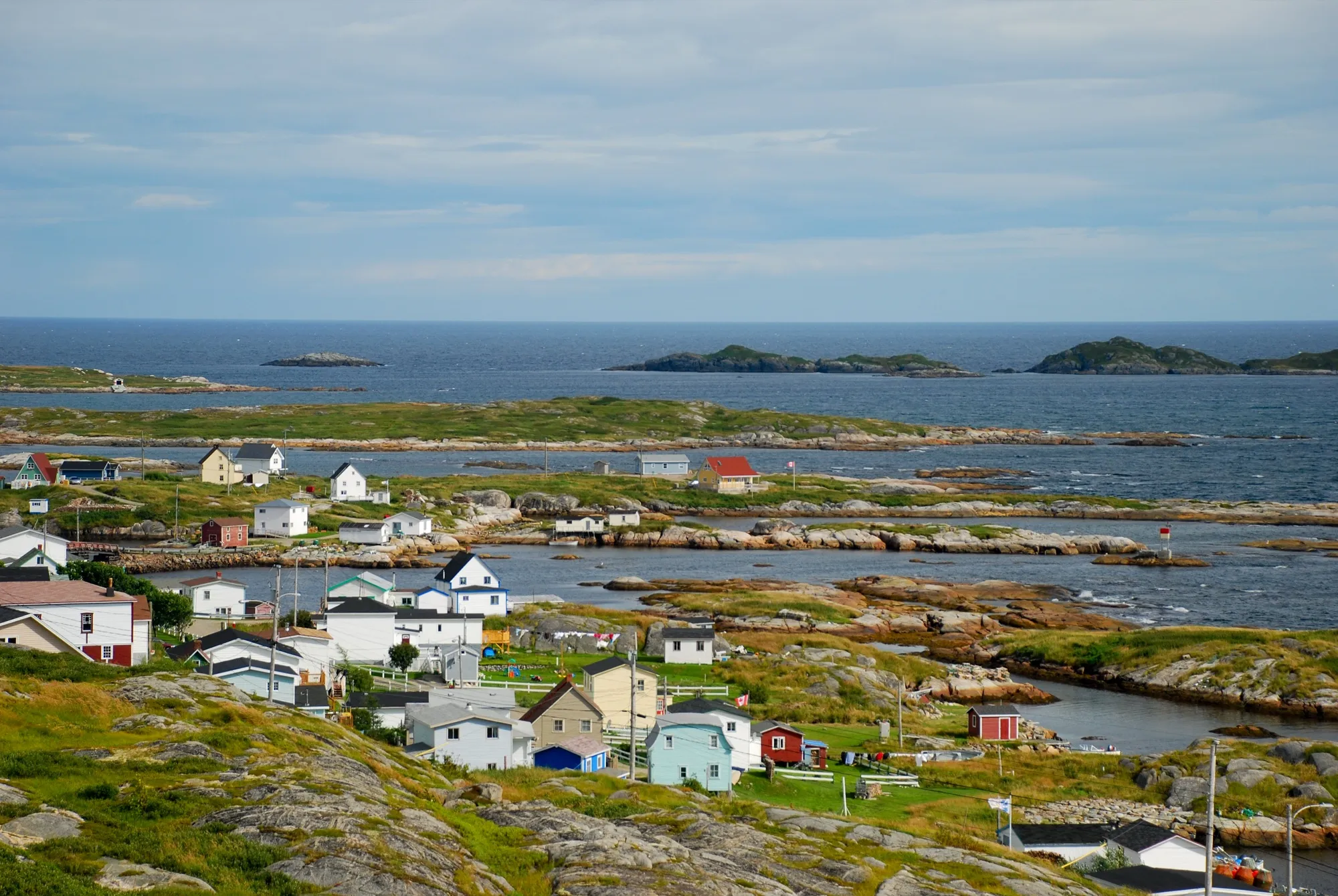
Greenspond124 km
You land at Gander and Greenspond is 124 km northeast via Routes 1 and 320 to an island outport joined to the coast by causeway.
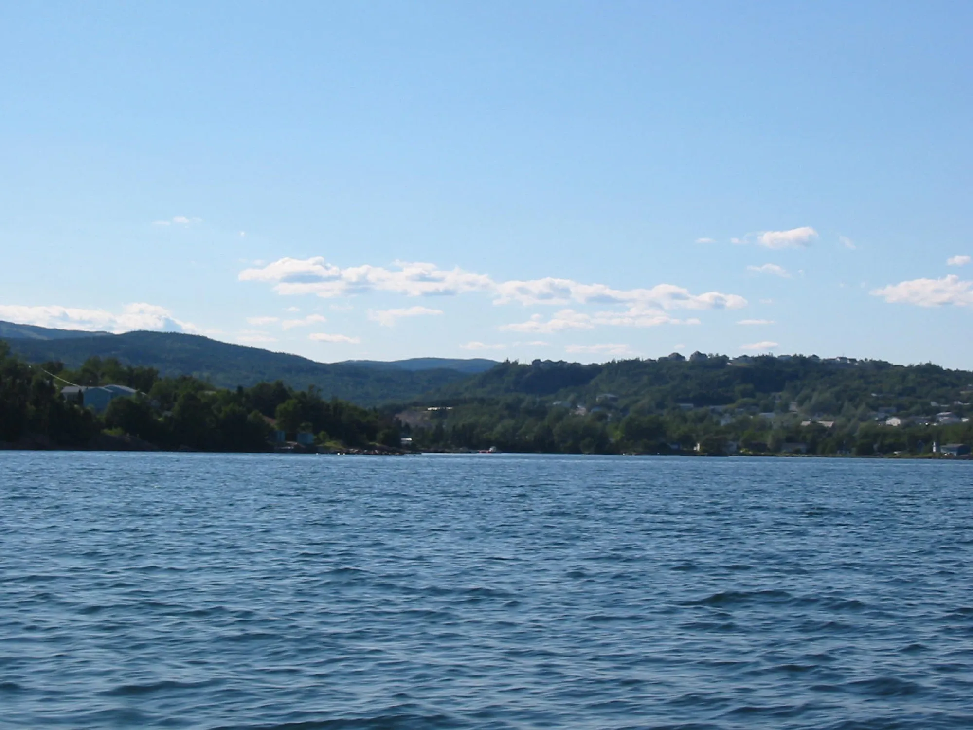
Clarenville147 km
Clarenville is 147 km from Gander on Routes 330 and 1 — Gander is the closest of the three airports.
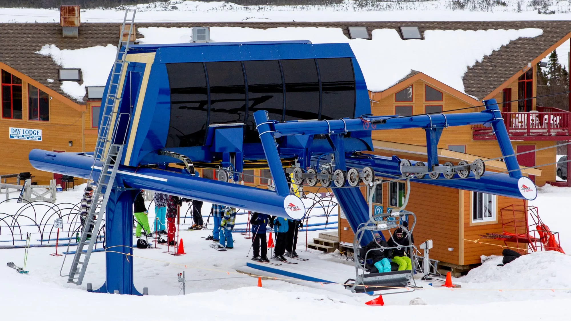
White Hills148 km
Gander to the White Hills ski resort at Clarenville: 148 km on the Trans-Canada, and the nearest airport to the hill.
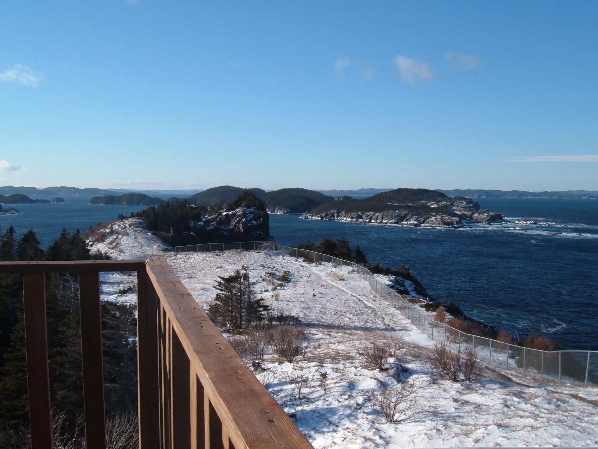
Leading Tickles148 km
You land at Gander and Leading Tickles is 148 km northwest on the Trans-Canada and Route 350, up the peninsula that walls the Bay of Exploits.
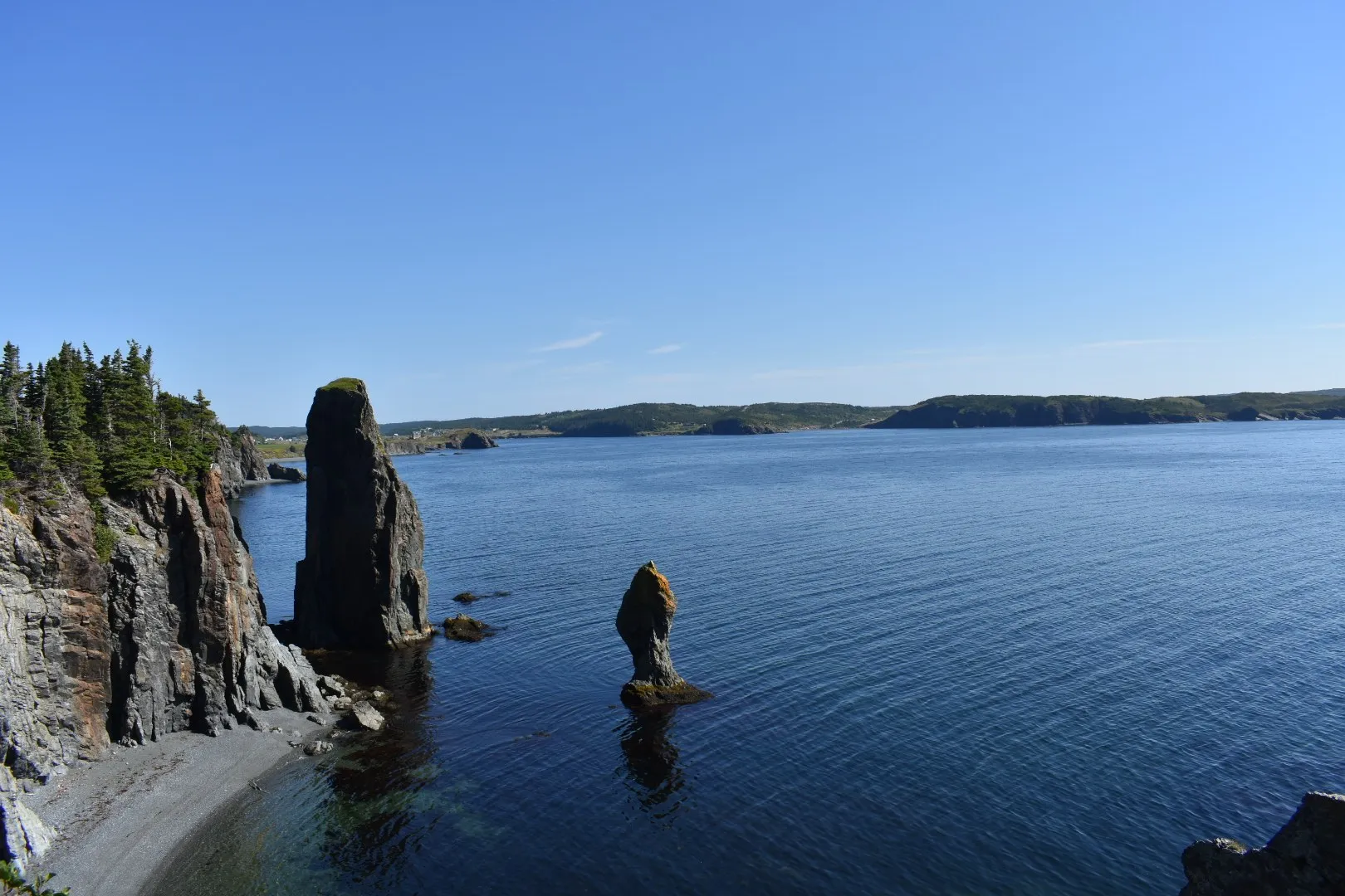
Port Rexton199 km
You land at Gander and Port Rexton is 199 km by road via Routes 330, 1 and 230: the town of the Skerwink Trail, on Trinity Bay.
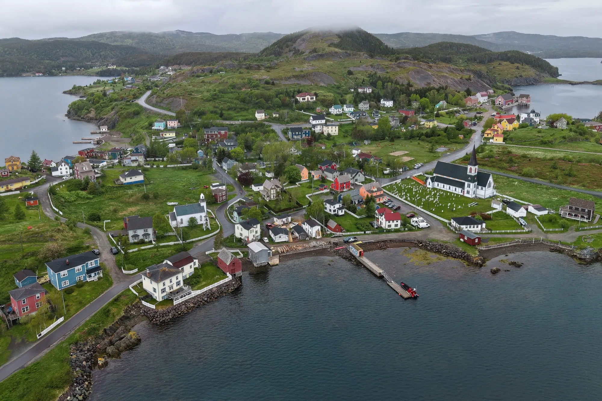
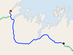
Trinity (Trinity Bay)200 km
You land at Gander and Trinity is 200 km southeast via Routes 1, 230 and 239 to the saltbox town everyone tells you to see.
 route map
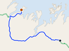
King's Point207 km
King's Point is 207 km from Gander via the Trans-Canada (1) and Routes 390 and 391 to Green Bay.
 route map
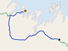
Pilley's Island220 km
220 km from Gander to the Pilley's Island ferry terminal, via the Trans-Canada and Routes 380 and 382.
 route map
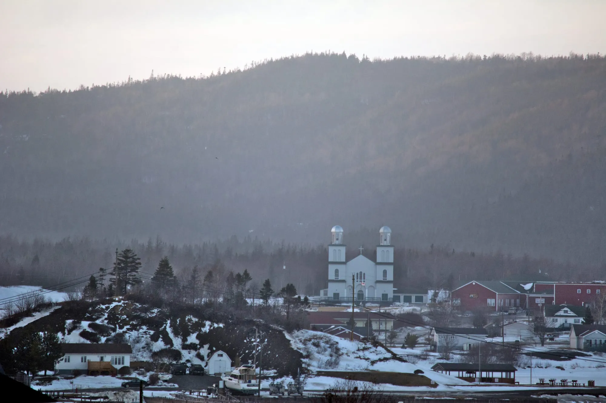
Triton224 km
Triton is 224 km from Gander airport, west on the Trans-Canada (Route 1) then north on Route 380.
St. Alban's235 km
You land at Gander and the south coast is 235 km away on the Trans-Canada and Route 360, the long road to Bay d'Espoir on the south coast.
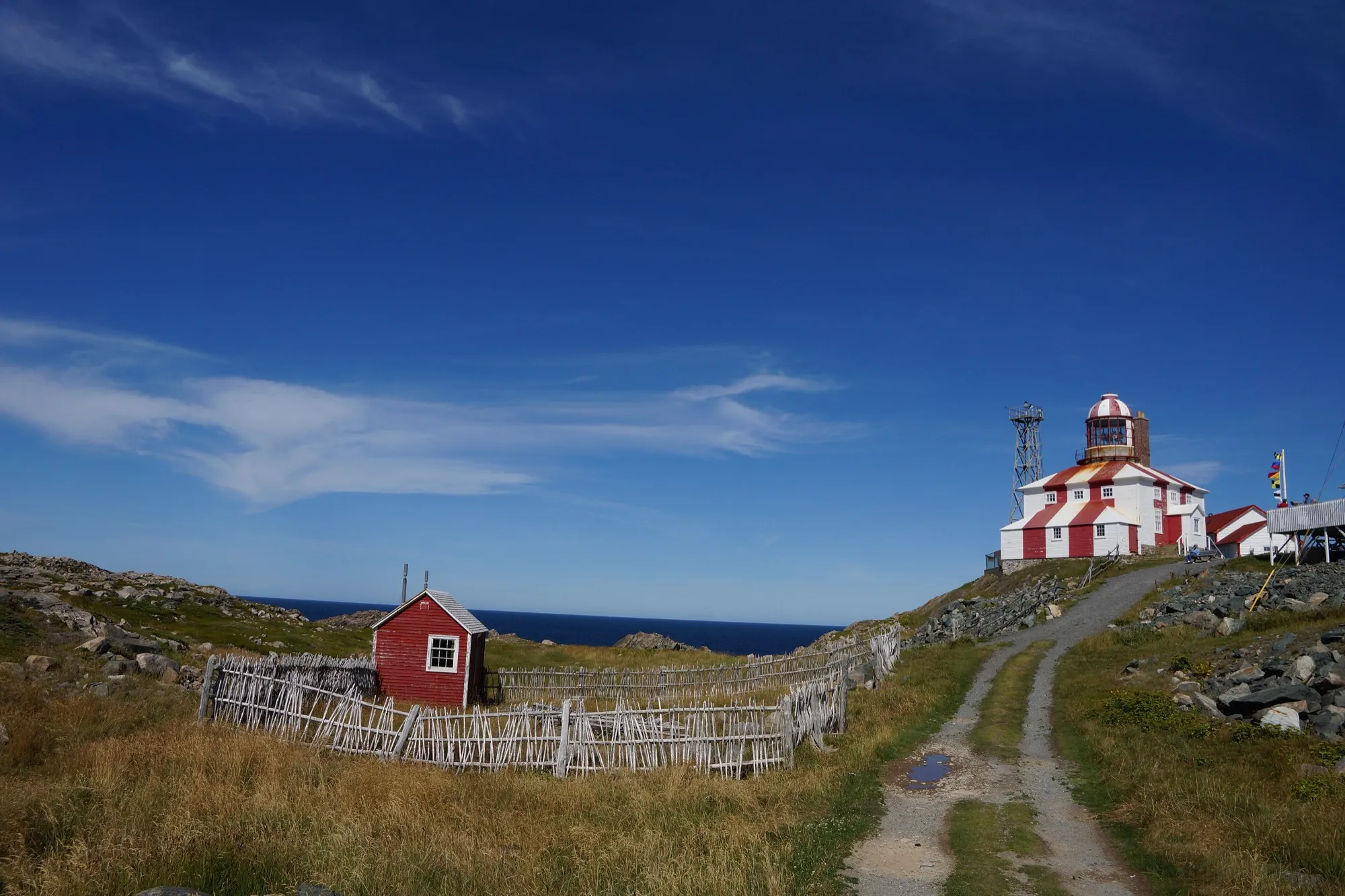
Cape Bonavista248 km
Gander airport to Cape Bonavista is 248 km east, to the lighthouse at the end of the road, with puffins, the Dungeon and five centuries of history on the way.
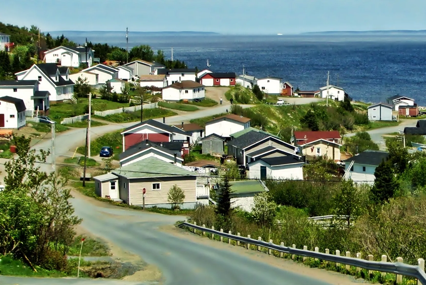
Baie Verte275 km
Baie Verte is 274.7 km from Gander airport by road, on Routes 1 and 410.
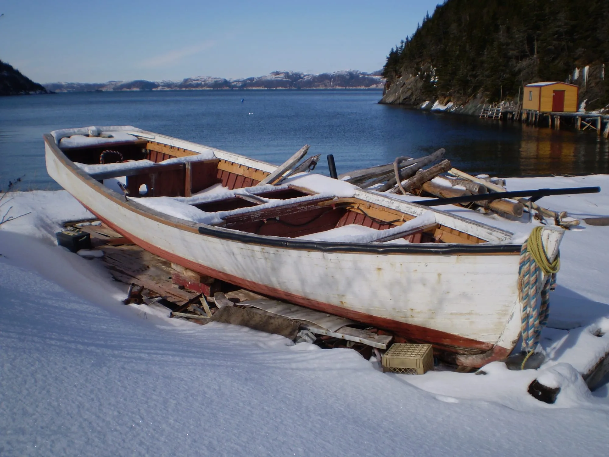
Hermitage276 km + ferry
You land at Gander and Hermitage is 276 km south via Routes 1, 360 and 364 to the wharf where the Gaultois ferry crosses to a road-free outport.
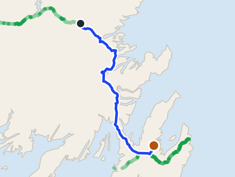 route map
Clarke's Beach280 km
Clarke's Beach is 279.8 km from Gander airport by road, on Routes 330, 1, 71 and 70. St. John's airport is closer.
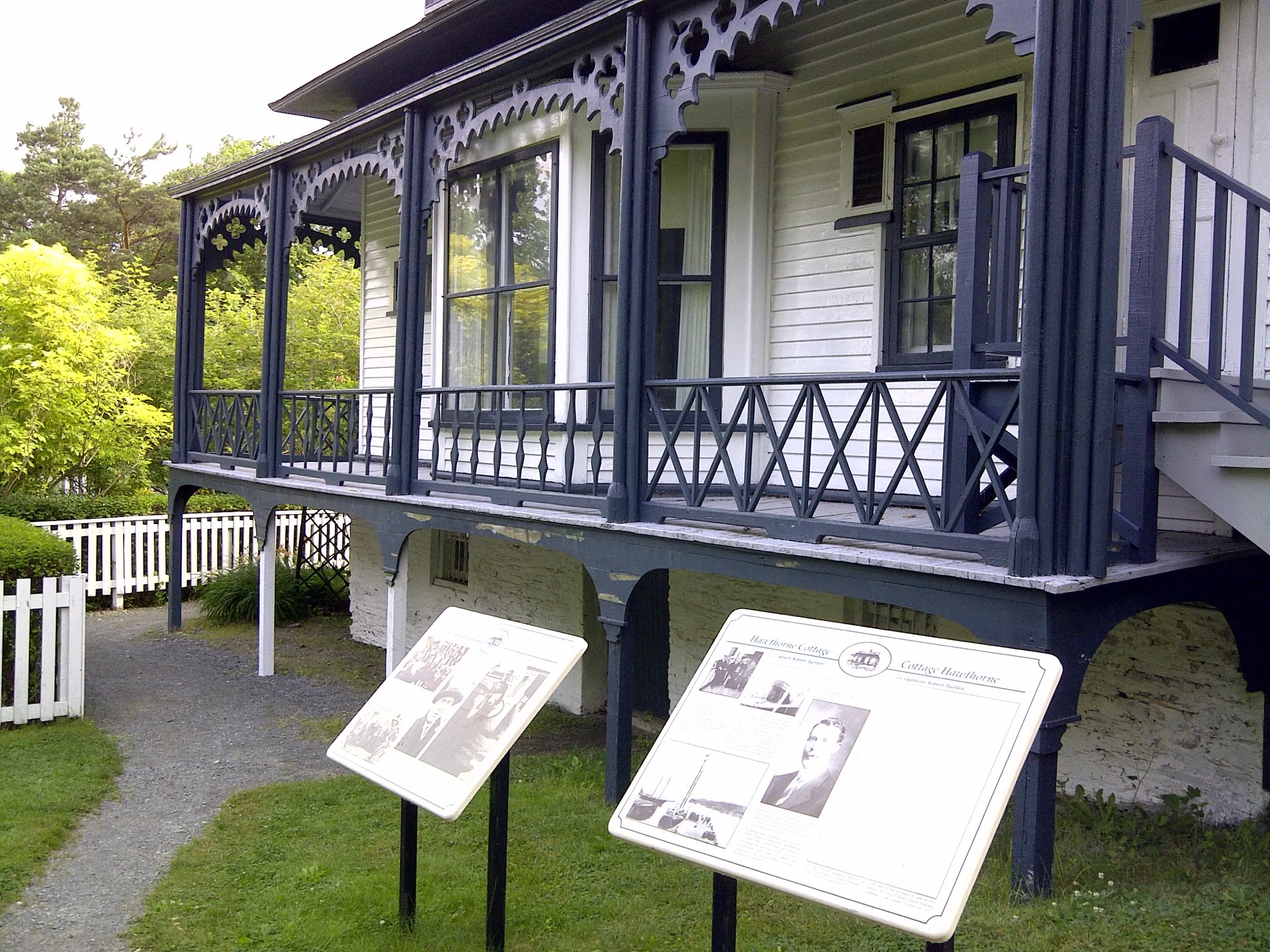
Brigus280 km
Brigus is 279.9 km from Gander airport by road, on Routes 330, 1, 71, 70 and 60.
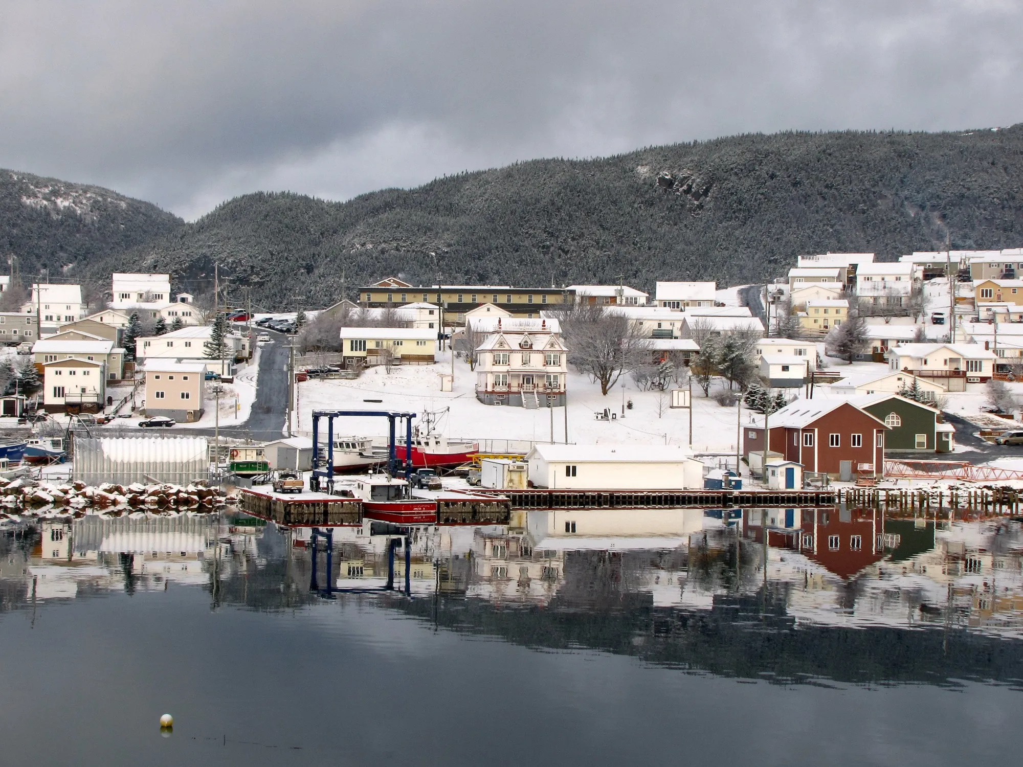
Harbour Breton280 km
You land at Gander and Harbour Breton is 280 km south via Routes 1 and 360, the long interior road to the Connaigre coast's principal town.
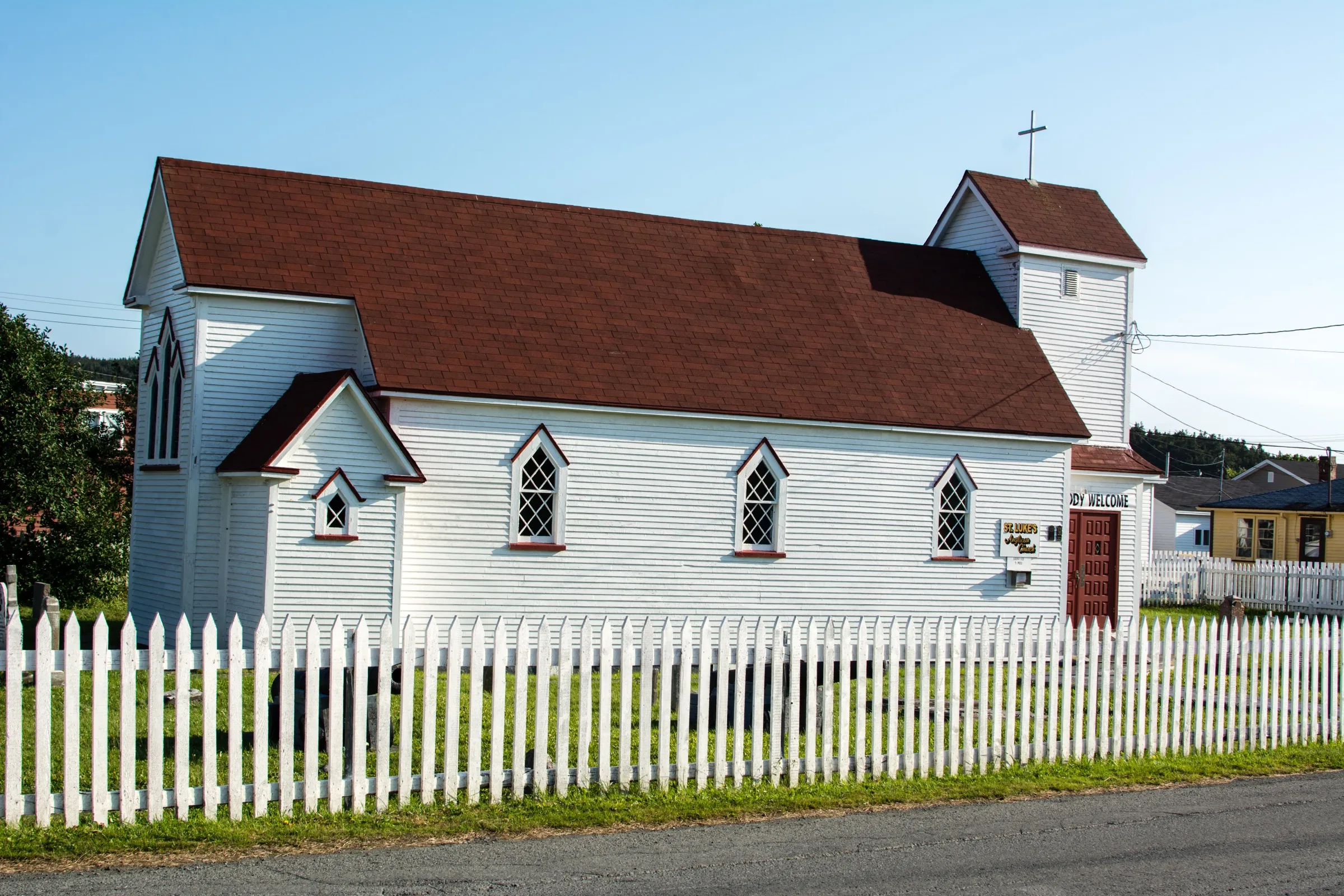
Placentia290 km
Placentia is 289.8 km from Gander airport by road, on Routes 330, 1 and 100.
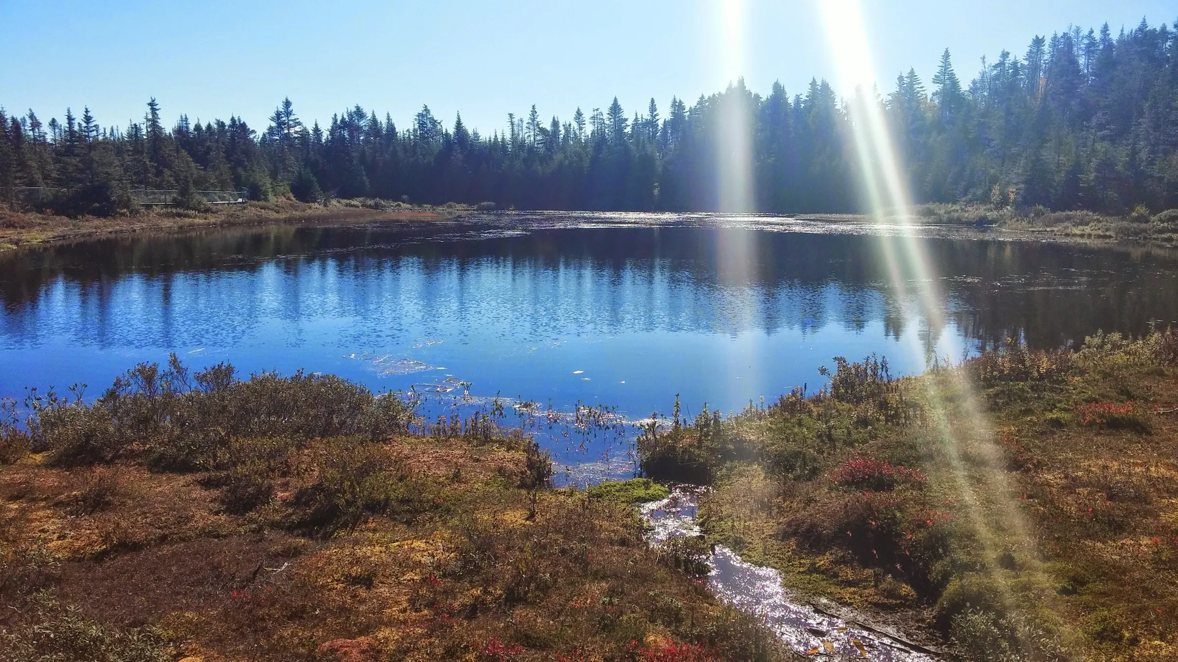
Salmonier Nature Park292 km
Salmonier Nature Park is 291.5 km from Gander airport by road, on Routes 330, 1 and 90.
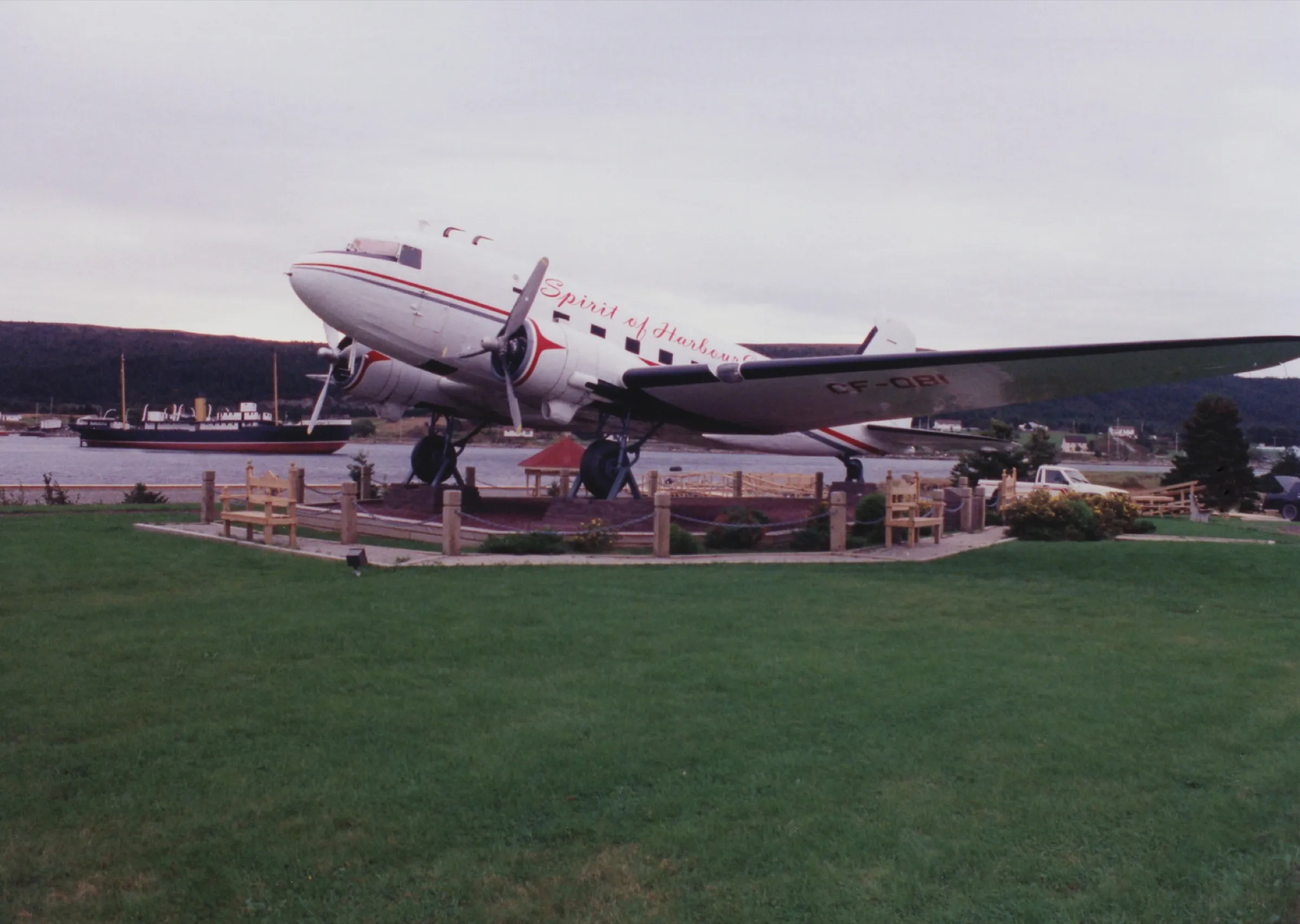
Harbour Grace298 km
Harbour Grace is 298.1 km from Gander airport by road, on Routes 330, 1, 71, 75 and 70.
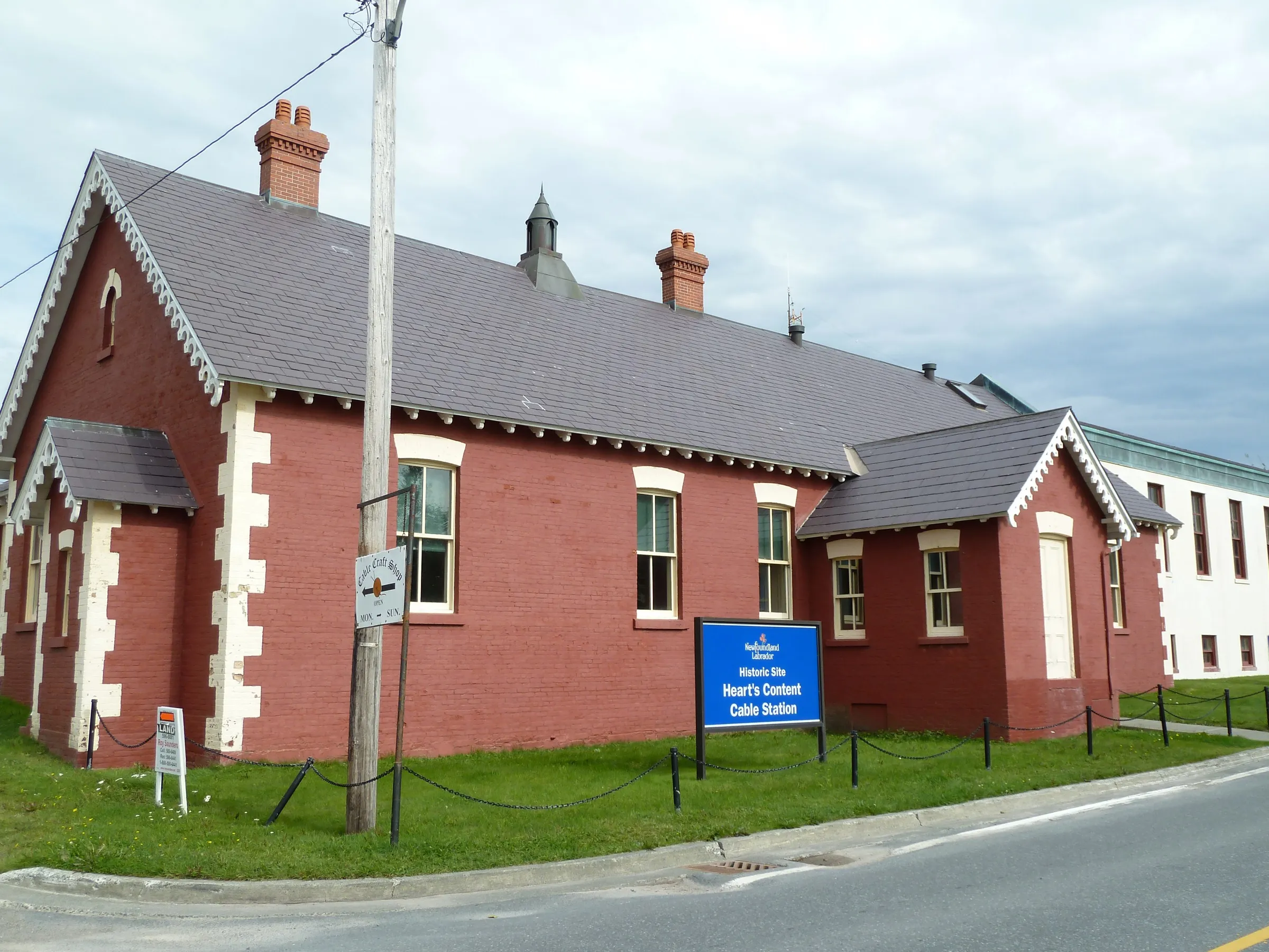
Heart's Content308 km
Heart's Content is 308.4 km from Gander airport by road, on Routes 330, 1, 81 and 80.
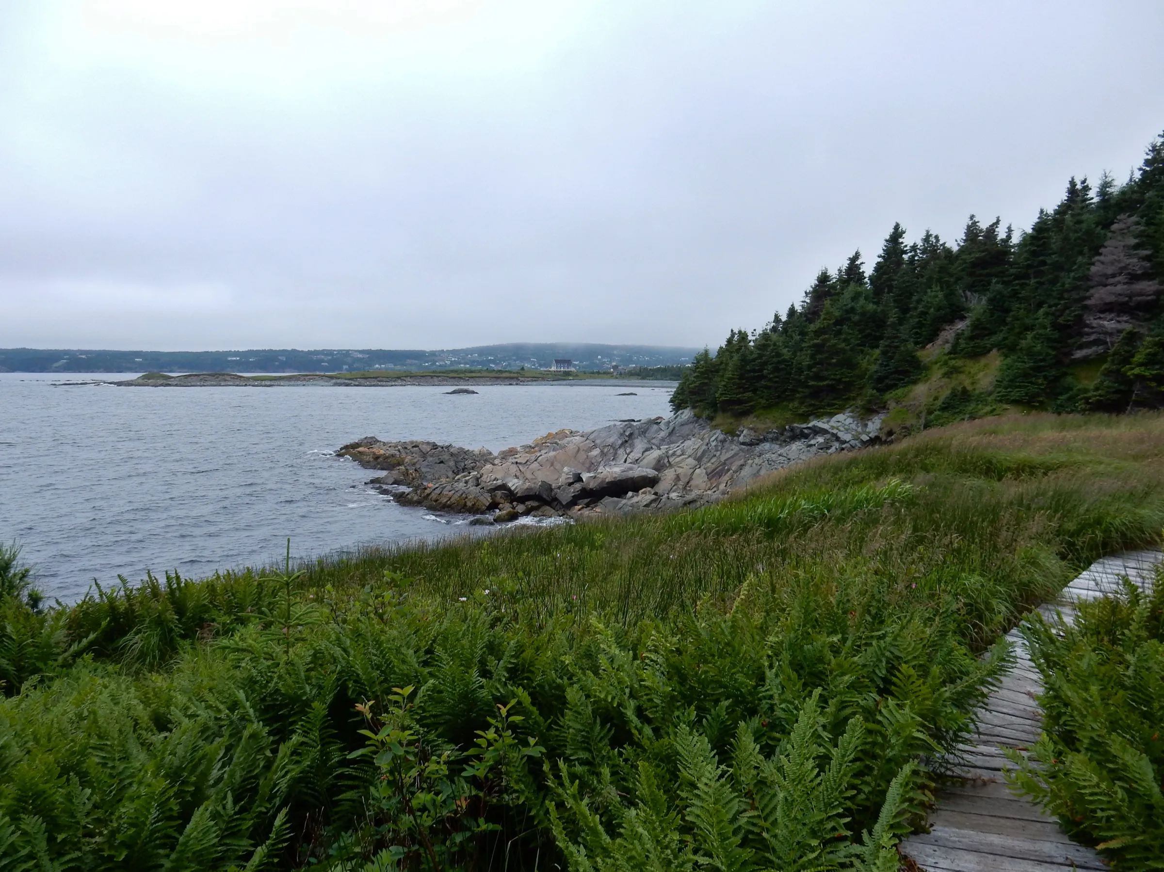
Witless Bay316 km
Witless Bay is 316.3 km from Gander airport by road, on Routes 330, 1, 13 and 10.
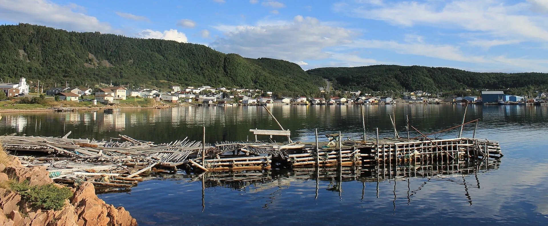
La Scie324 km
La Scie is 323.7 km from Gander airport by road, on Routes 1, 410 and 414.
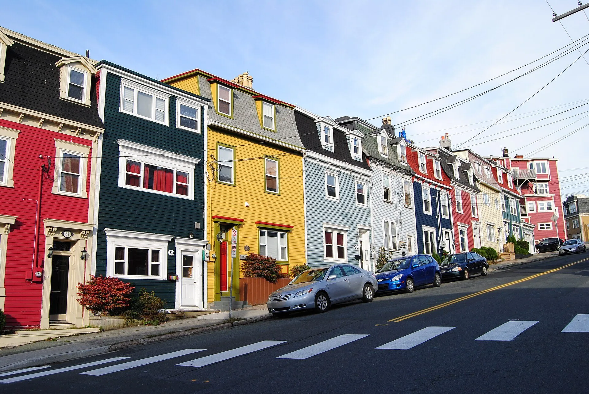
St. John's335 km
St. John's is 334.7 km from Gander airport by road, on Routes 330, 1 and 2. St. John's airport is closer.
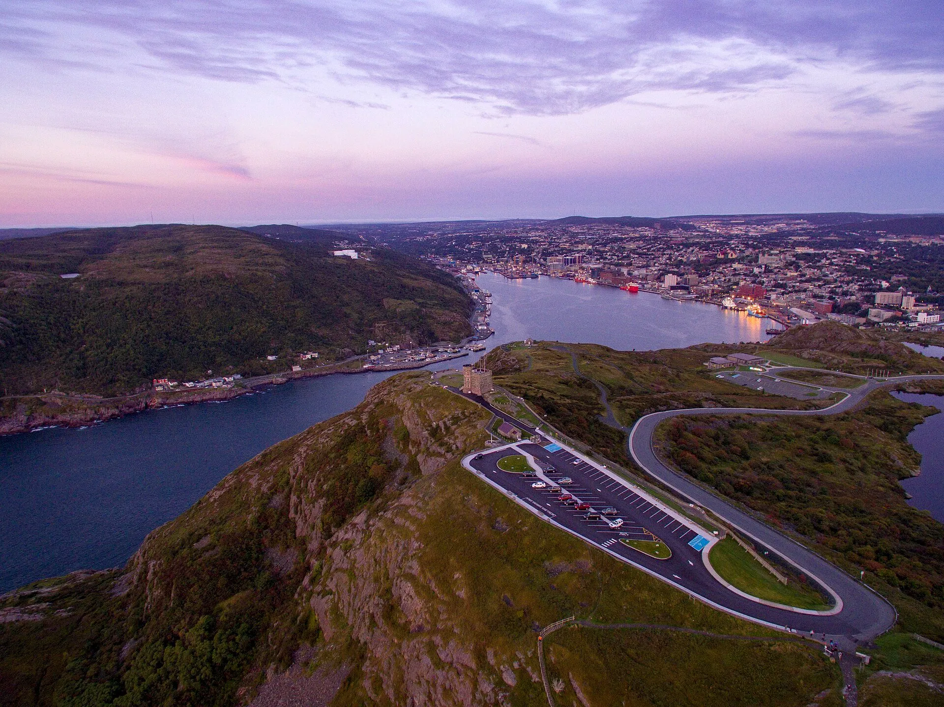
Signal Hill338 km
Signal Hill (Cabot Tower) is 337.6 km from Gander airport by road, on Routes 330, 1 and 2.
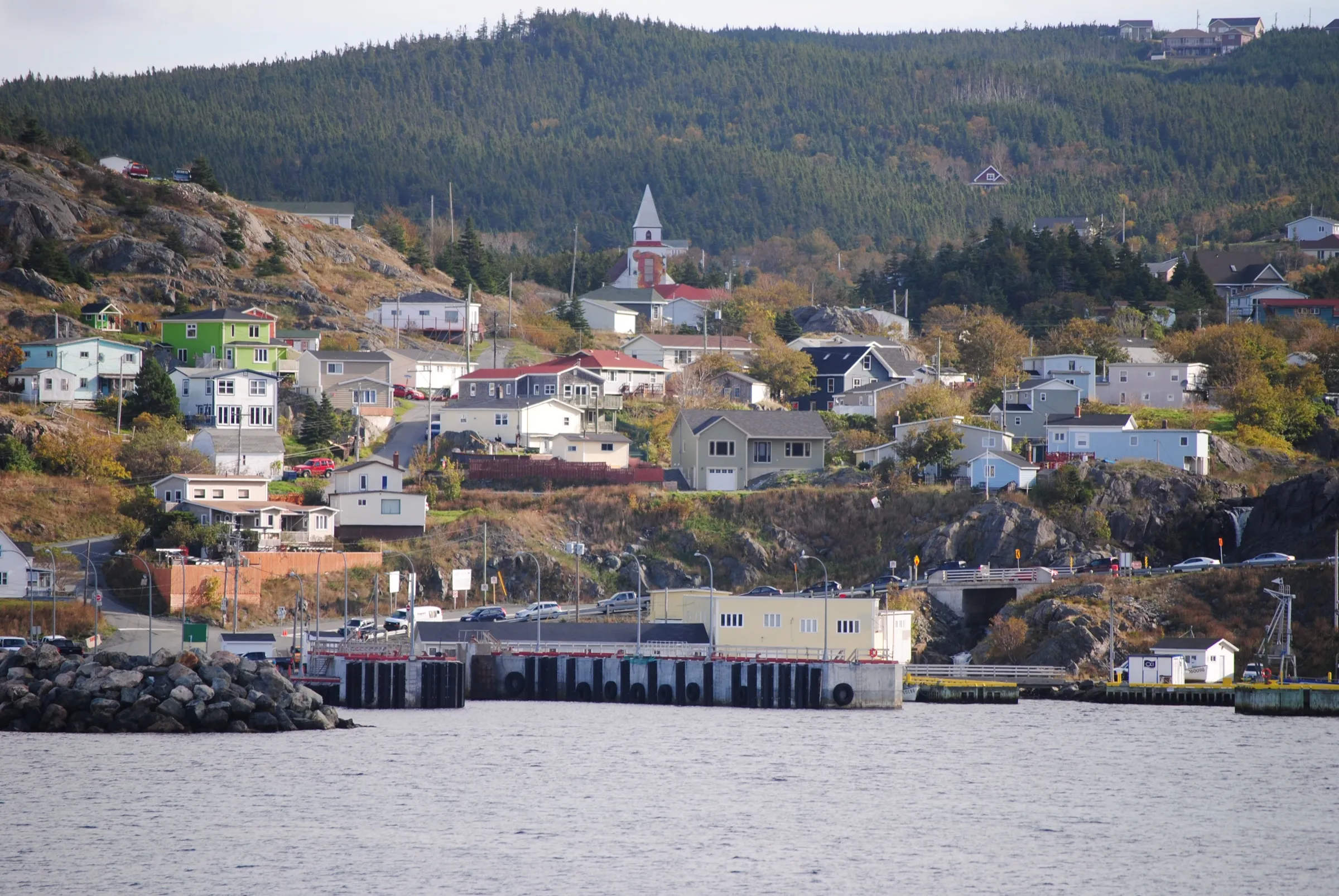
Portugal Cove ferry terminal338 km + ferry
Portugal Cove ferry terminal is 337.9 km from Gander airport by road, on Routes 330, 1, 50 and 41.
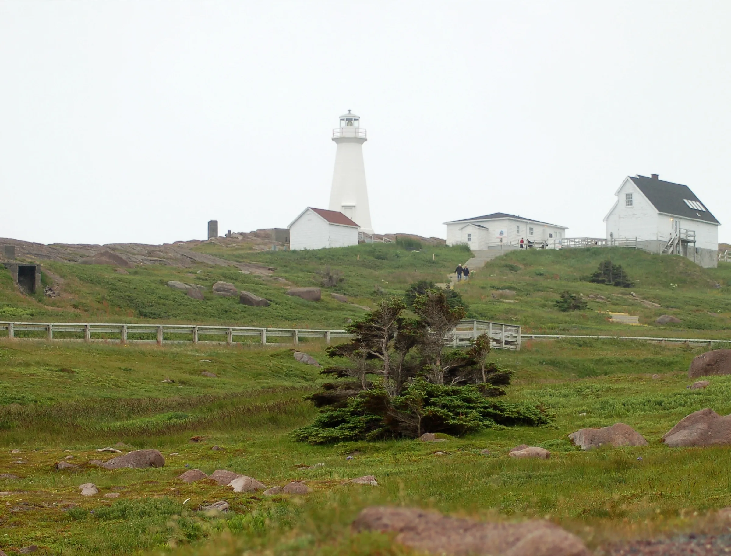
Cape Spear346 km
Cape Spear is 346.2 km from Gander airport by road, on Routes 330, 1, 2, 10 and 11.
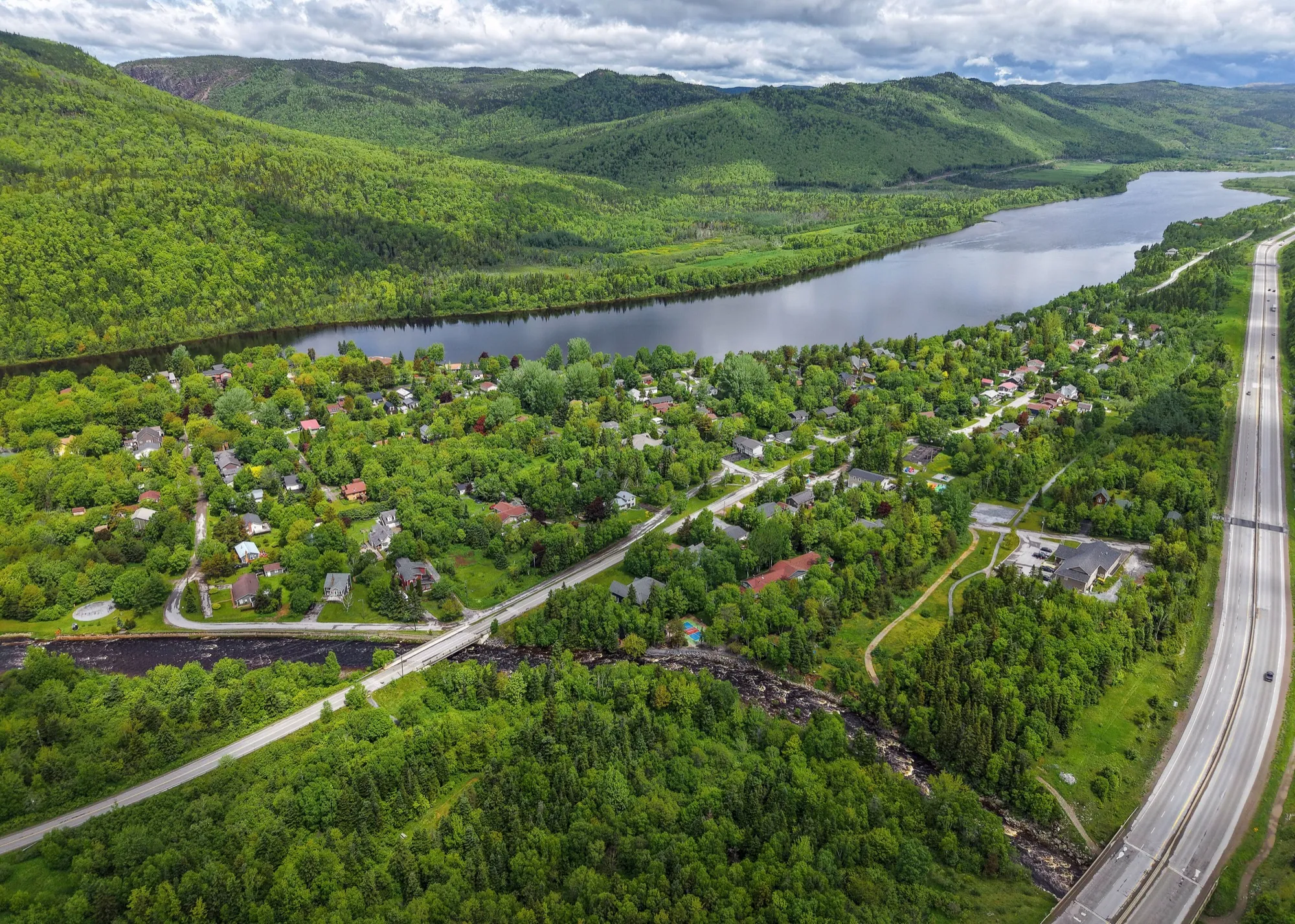
Marble Mountain351 km
Marble Mountain Base Lodge is 350.5 km from Gander airport by road, on Route 1.
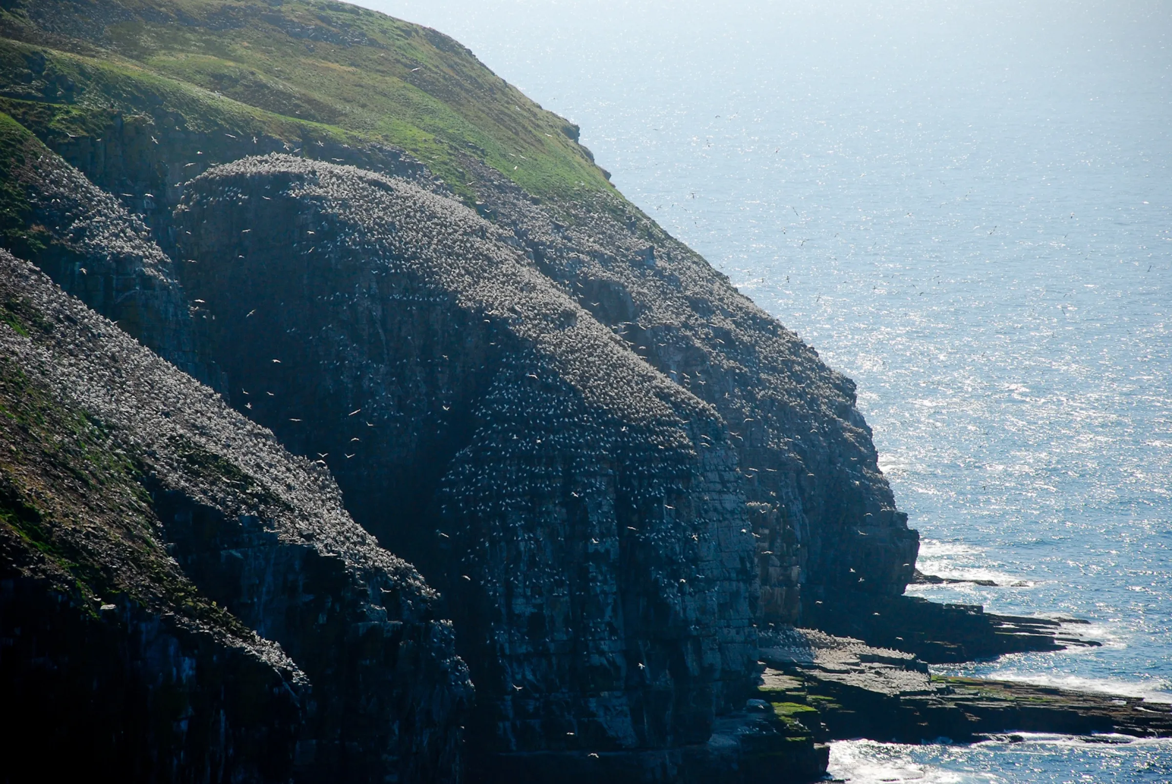
Cape St. Mary's Ecological Reserve354 km
Cape St. Mary's Ecological Reserve is 353.6 km from Gander airport by road, on Routes 330, 1 and 100.
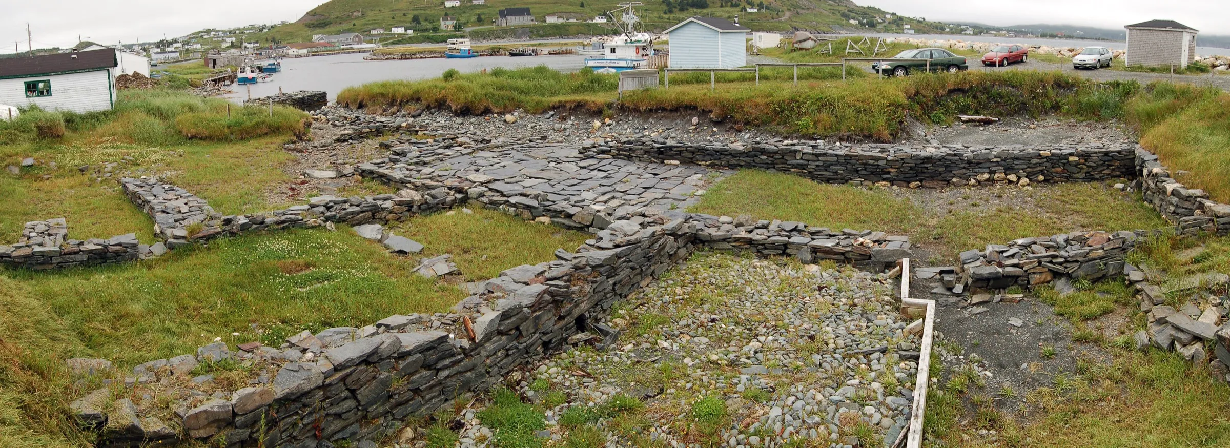
Ferryland357 km
Ferryland is 356.6 km from Gander airport by road, on Routes 330, 1, 13 and 10.
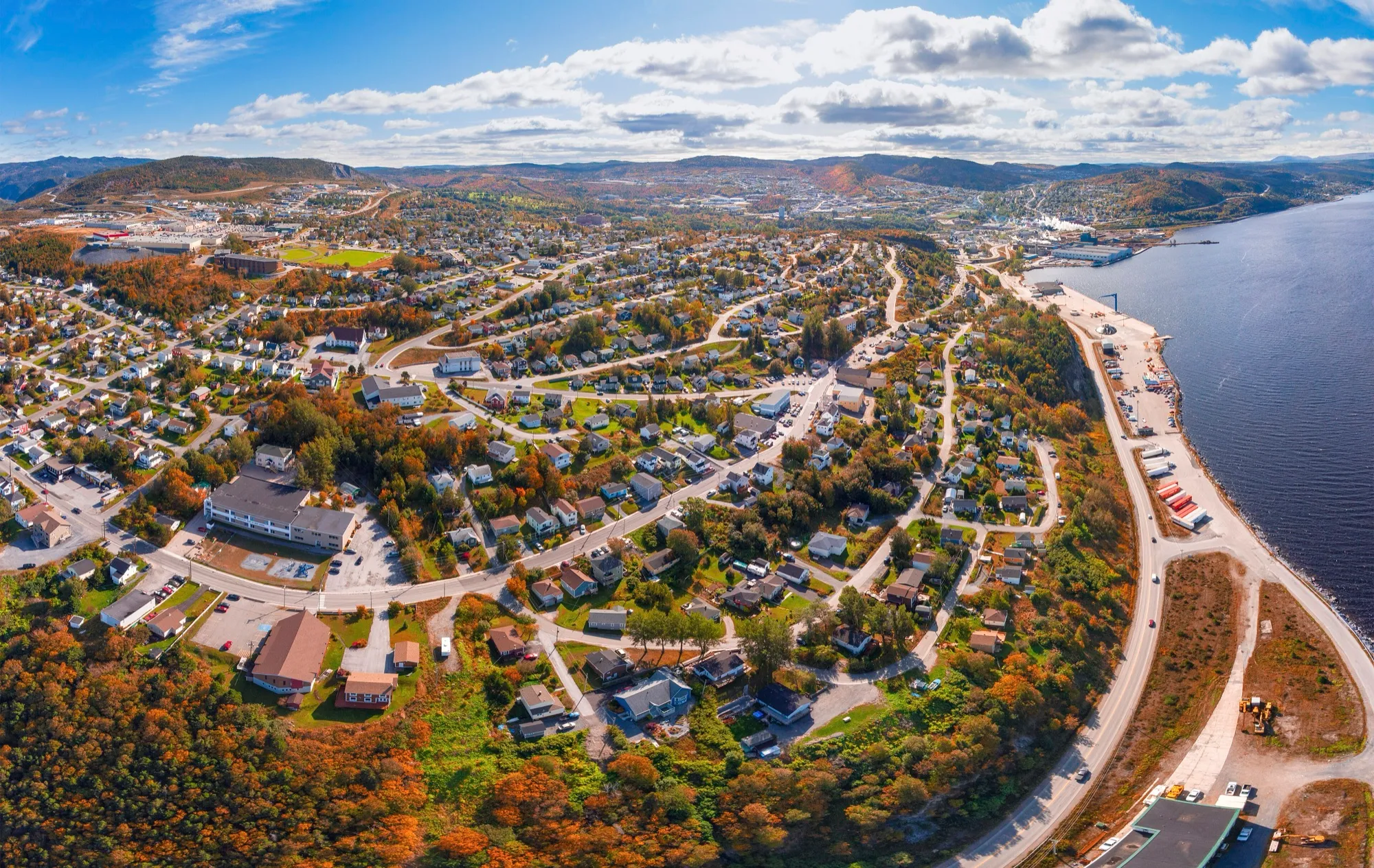
Corner Brook360 km
Corner Brook is 360.2 km from Gander airport by road, on Routes 1 and 450A. Deer Lake airport is closer.
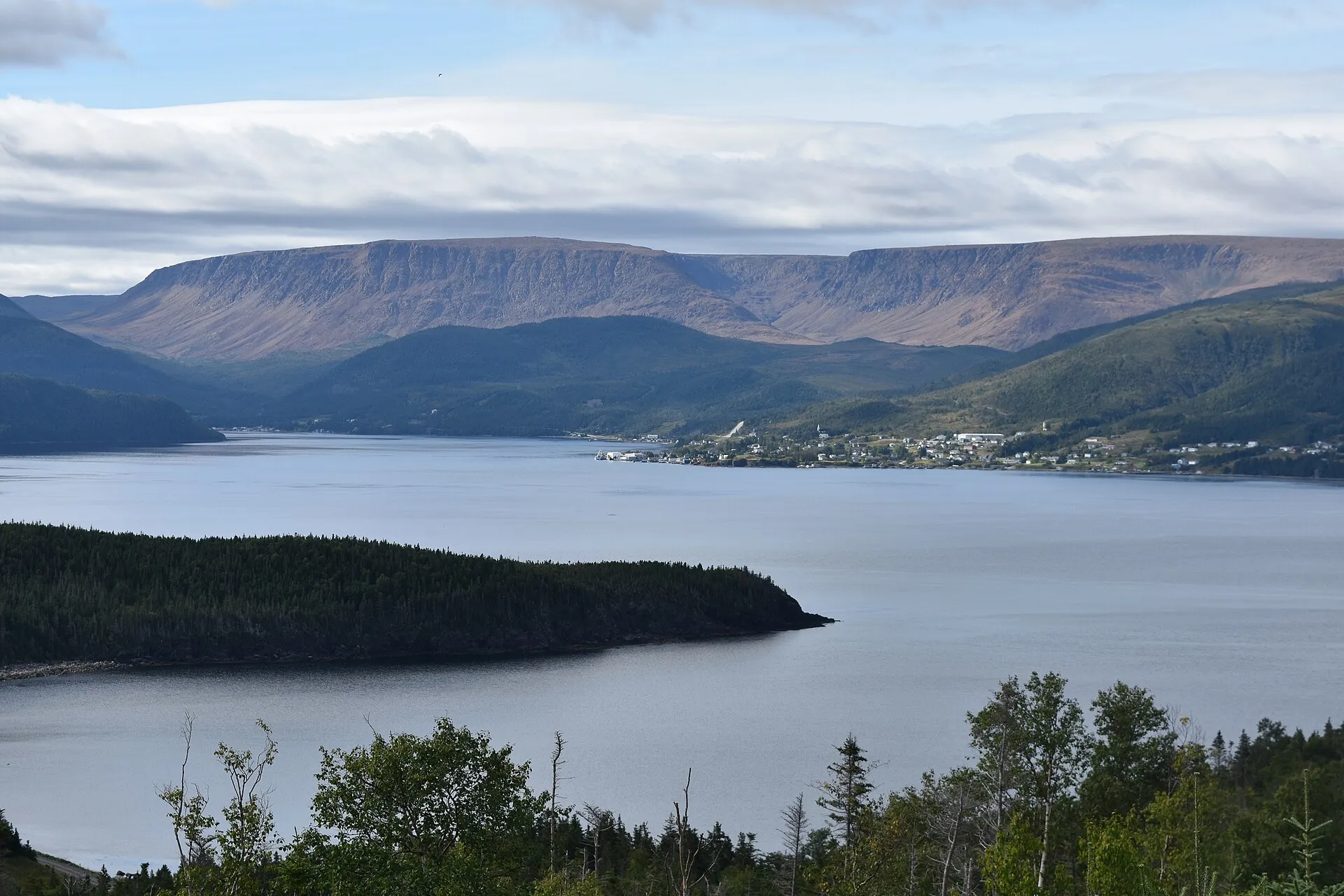
Woody Point371 km
Woody Point is 370.5 km from Gander airport by road, on Routes 1, 430 and 431.
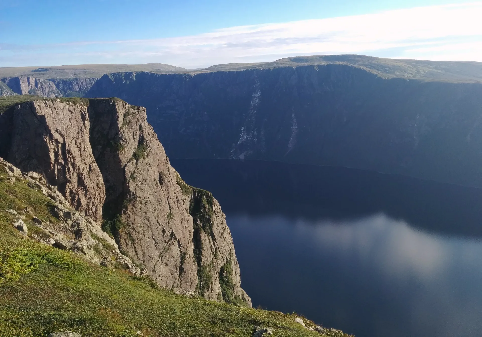
Gros Morne (Rocky Harbour)375 km
Rocky Harbour is 375.3 km from Gander airport by road, on Routes 1 and 430.
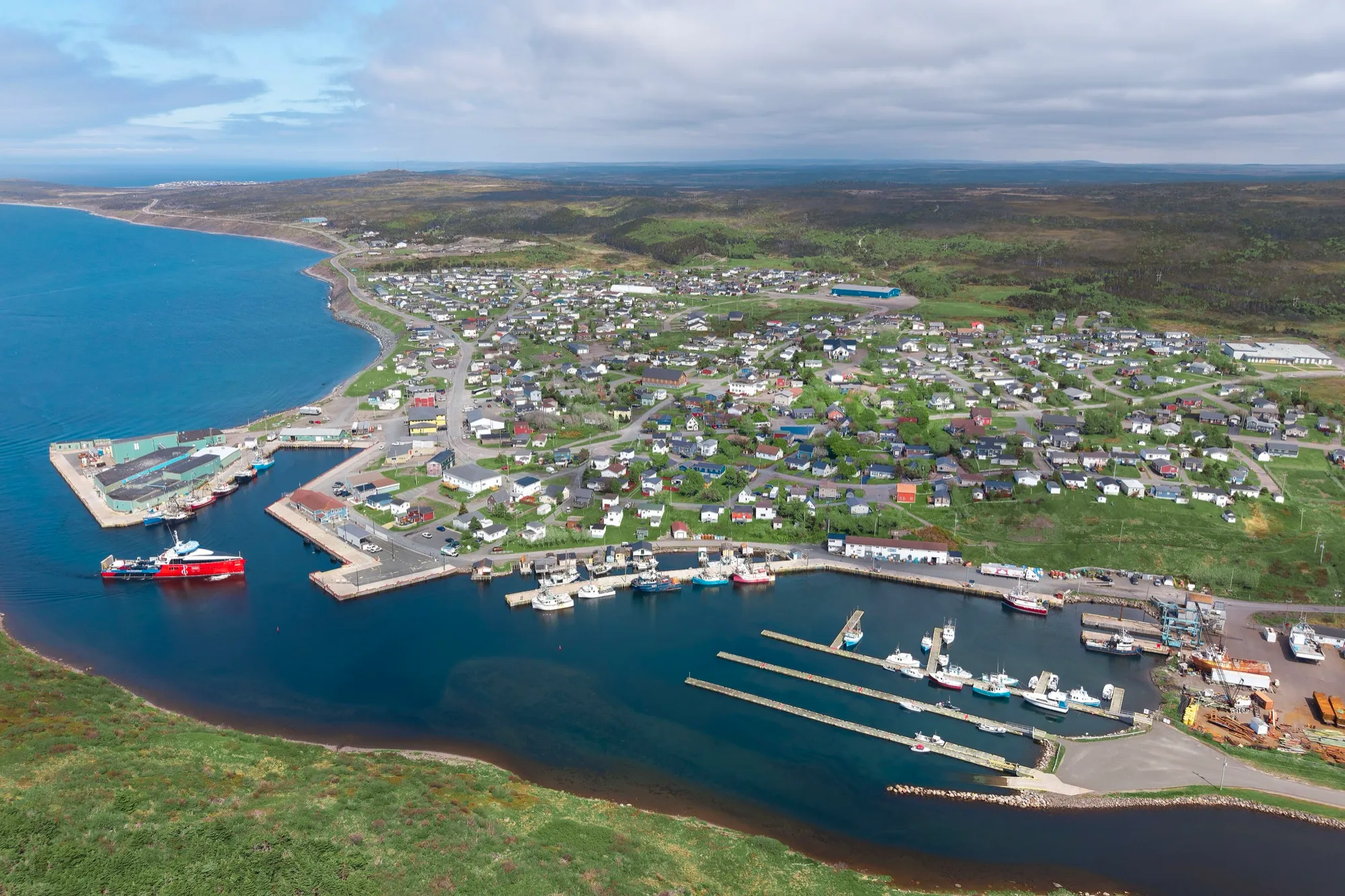
Fortune379 km + ferry
You land at Gander and Fortune is 378 km south, down the Burin Peninsula to the wharf where a ferry leaves Canada for France — with half a billion years of geology at the headland beside it.
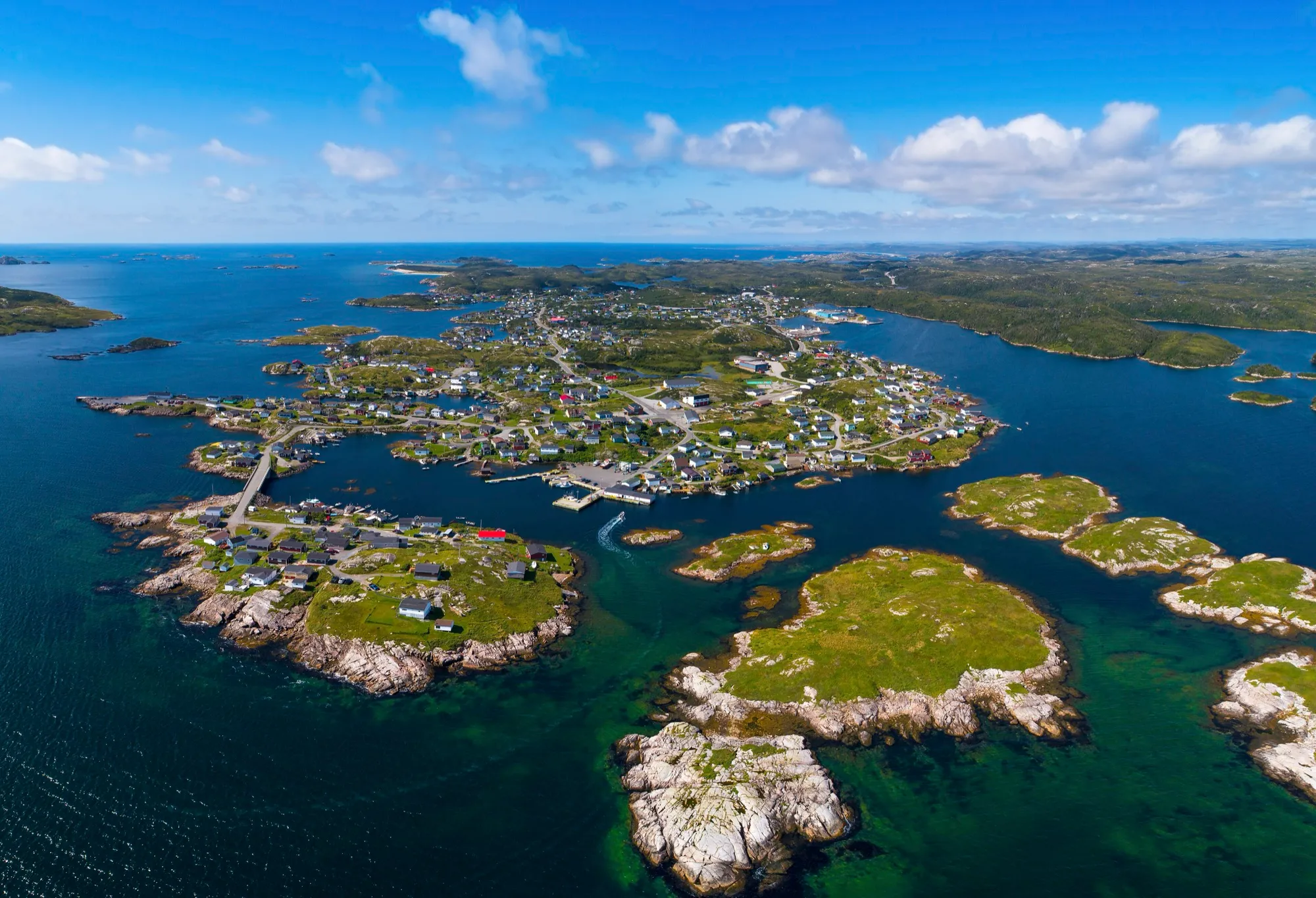
Burgeo385 km + ferry
Burgeo is 385.3 km from Gander airport by road, on Routes 1, 370 and 480.
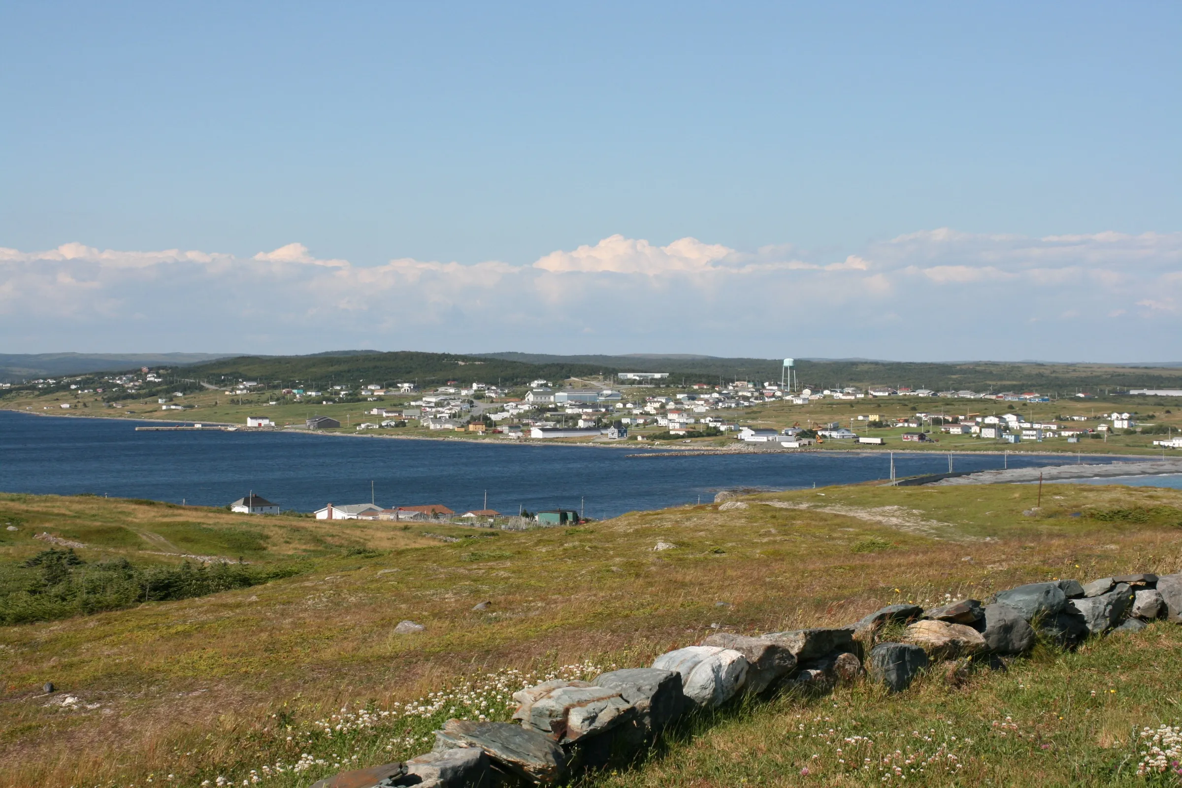
Trepassey395 km
Trepassey is 394.7 km from Gander airport by road, on Routes 330, 1, 90 and 10.
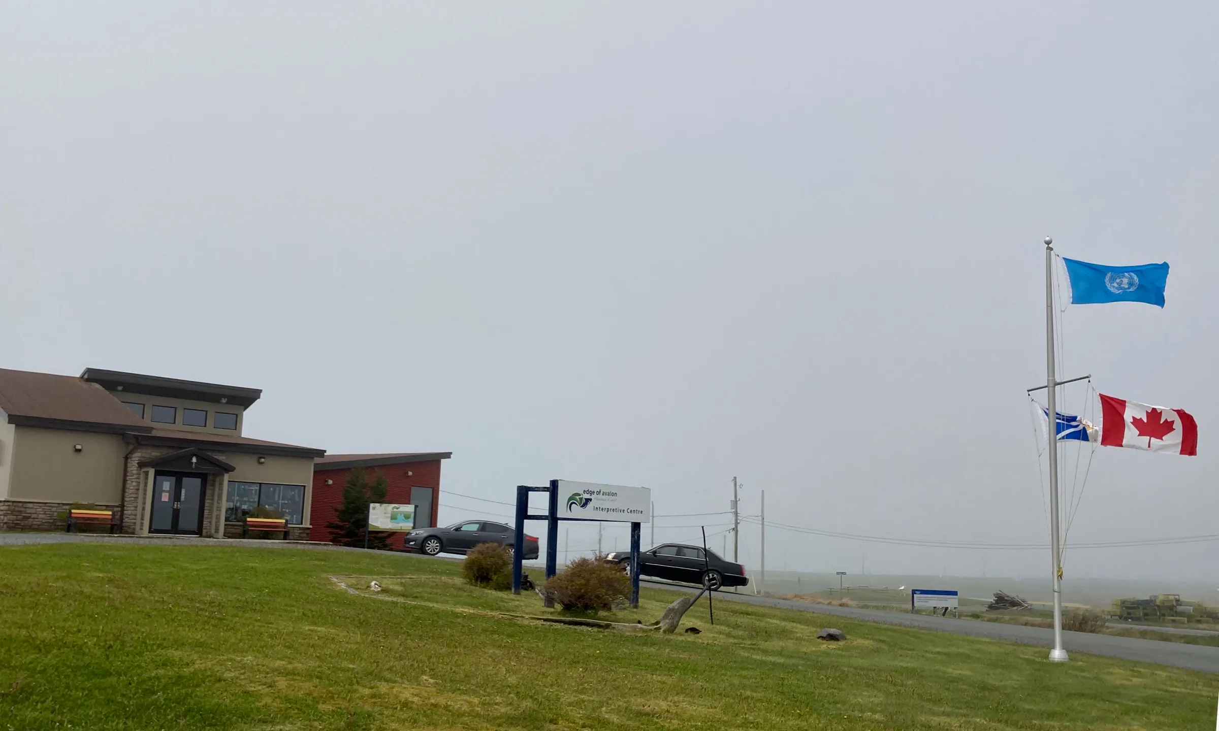
Mistaken Point406 km
Mistaken Point Interpretation Centre is 406.1 km from Gander airport by road, on Routes 330, 1, 90 and 10.
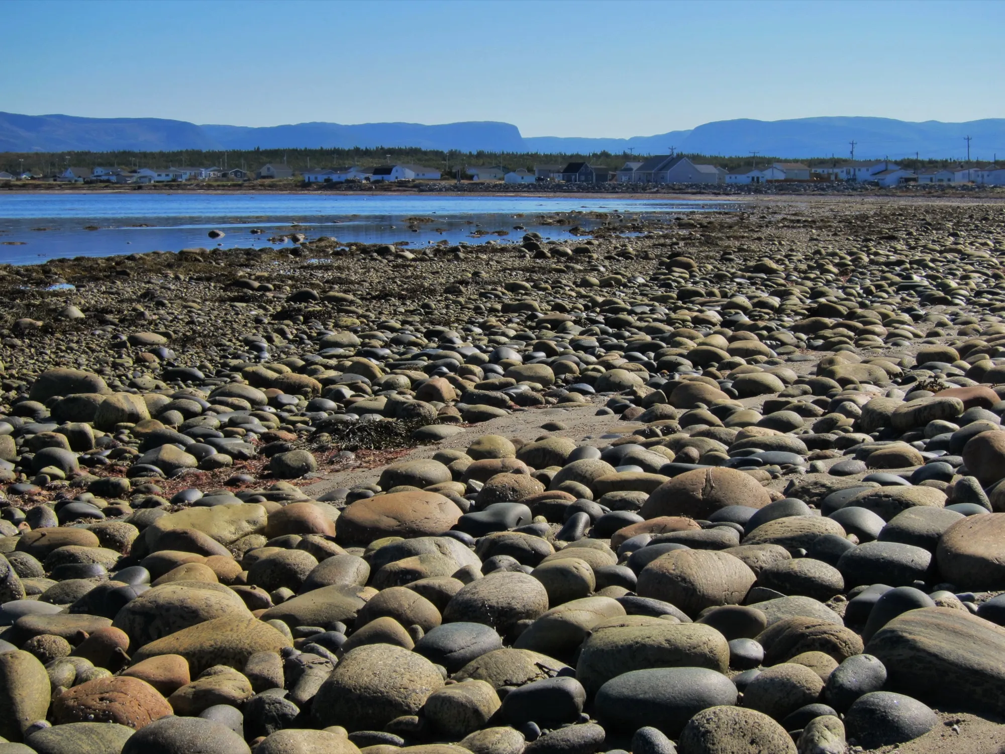
Cow Head422 km
Cow Head is 421.7 km from Gander airport by road, on Routes 1 and 430.
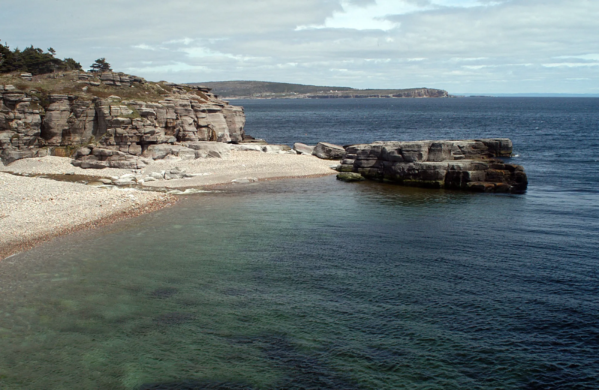
Cape St. George491 km
Cape St. George is 491.4 km from Gander airport by road, on Routes 1 and 460.
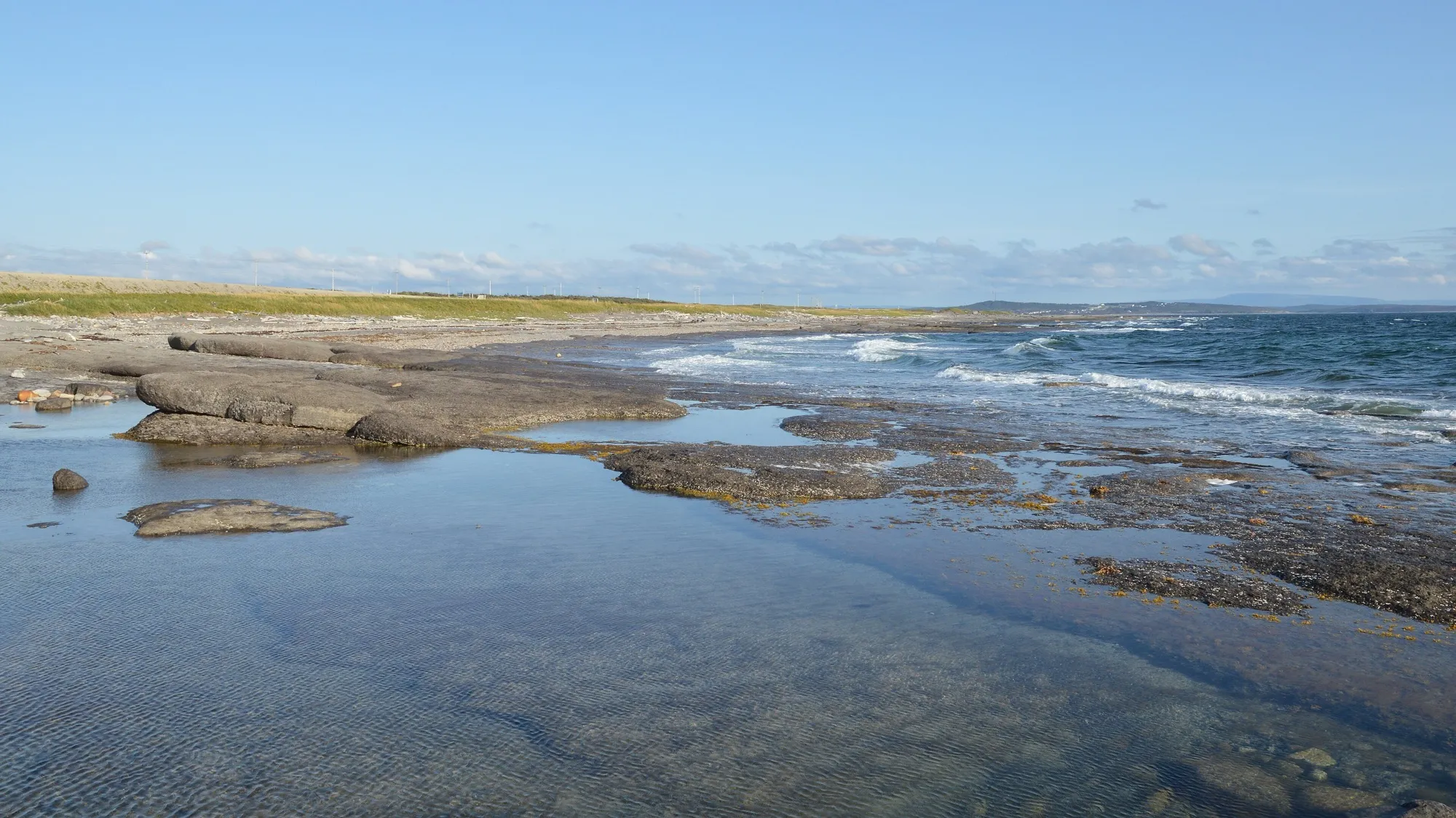
Port au Choix539 km
Port au Choix is 539.2 km from Gander airport by road, on Routes 1 and 430.
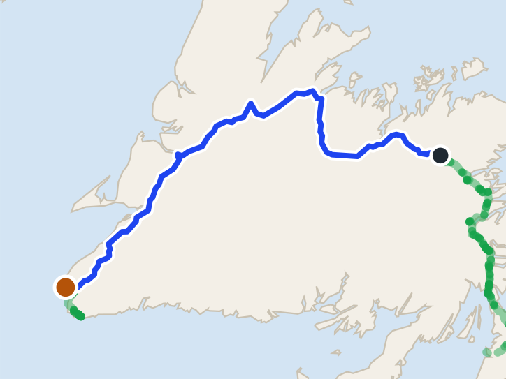 route map
Codroy Valley549 km
Codroy Valley is 548.5 km from Gander airport by road, on Routes 1, 406 and 407.
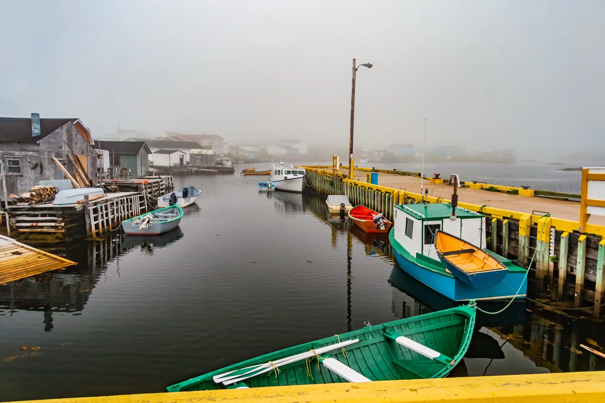
Port aux Basques574 km + ferry
Port aux Basques is 574.1 km from Gander airport by road, on Route 1.
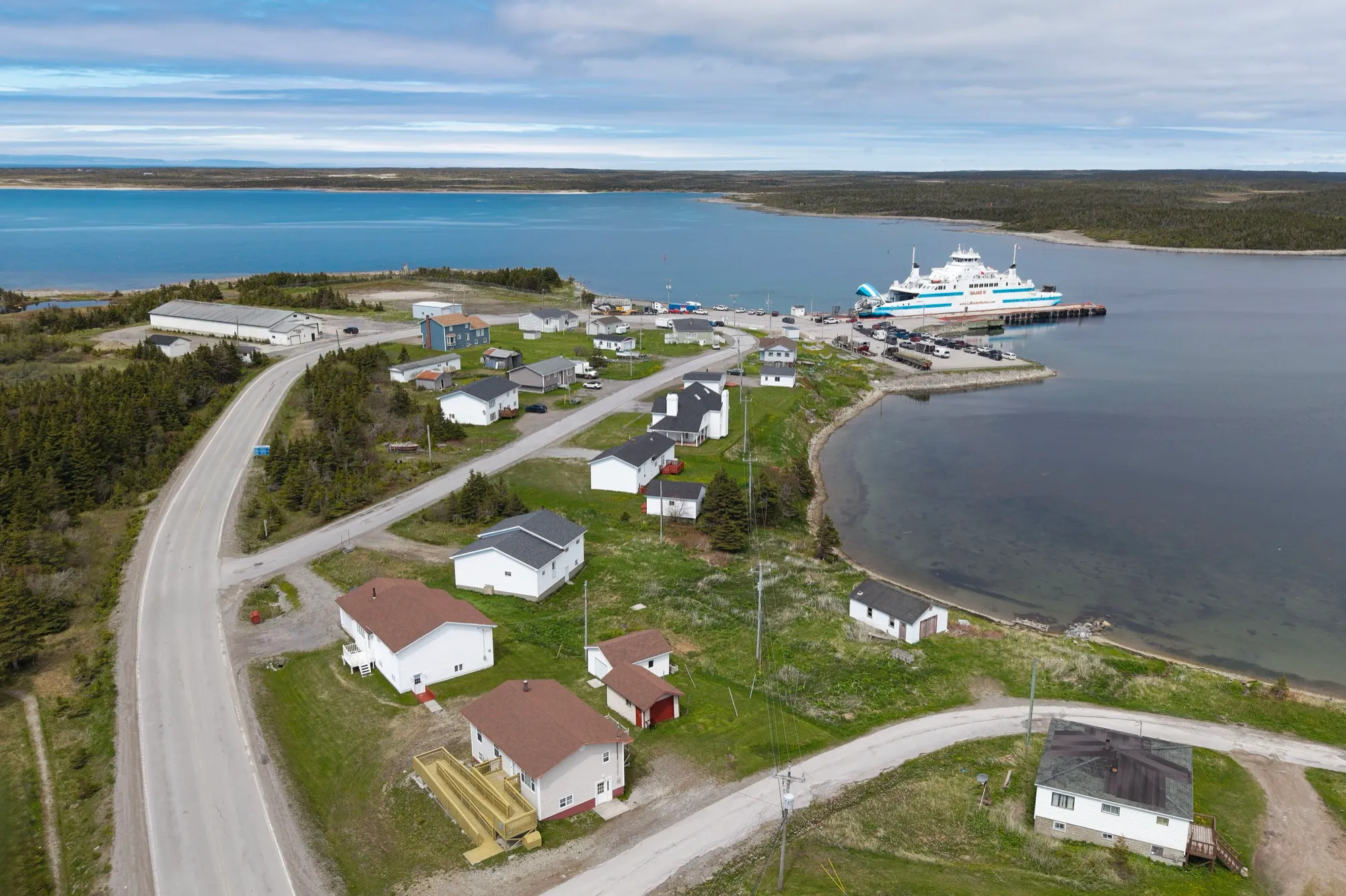
St. Barbe ferry602 km + ferry
St. Barbe ferry terminal is 602.4 km from Gander airport by road, on Routes 1 and 430.
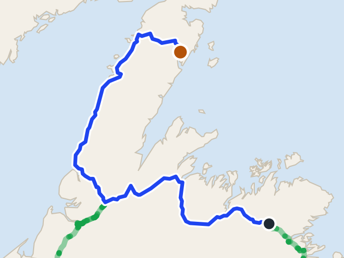 route map
Roddickton655 km
Roddickton is 654.7 km from Gander airport by road, on Routes 1, 430, 432 and 433.
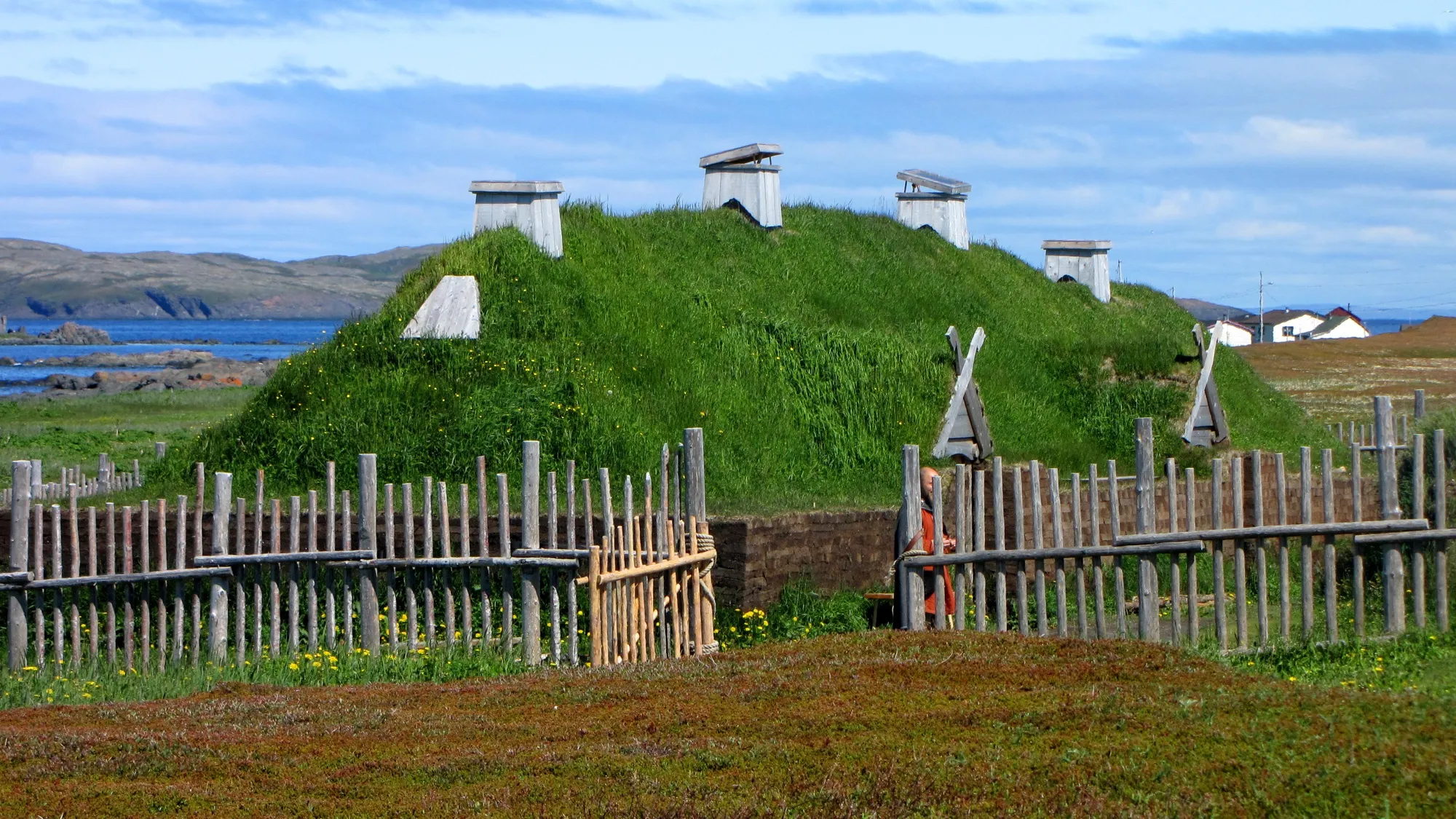
L'Anse aux Meadows740 km
L'Anse aux Meadows is 739.7 km from Gander airport by road, on Routes 1, 430 and 436.
Compare every destination from every airport and ferry on the full table → · Parking and arrivals are on the airport's own site →
Eating before you drive: 39 places the open map records in Gander → — alphabetical, with addresses and phone numbers.
Before you drive: the room you landed in has its own podcast episode. 99% Invisible — “Gander International Airport” (2018) tells the story of the 1959 international lounge — the mid-century furniture, the Queen at its opening, the Beatles taking their first North American steps here, Fidel Castro going sledding, and the 38 planeloads of strangers the town fed on September 11. Worth the listen while your bags come out.