Trail · from St. John's (YYT)
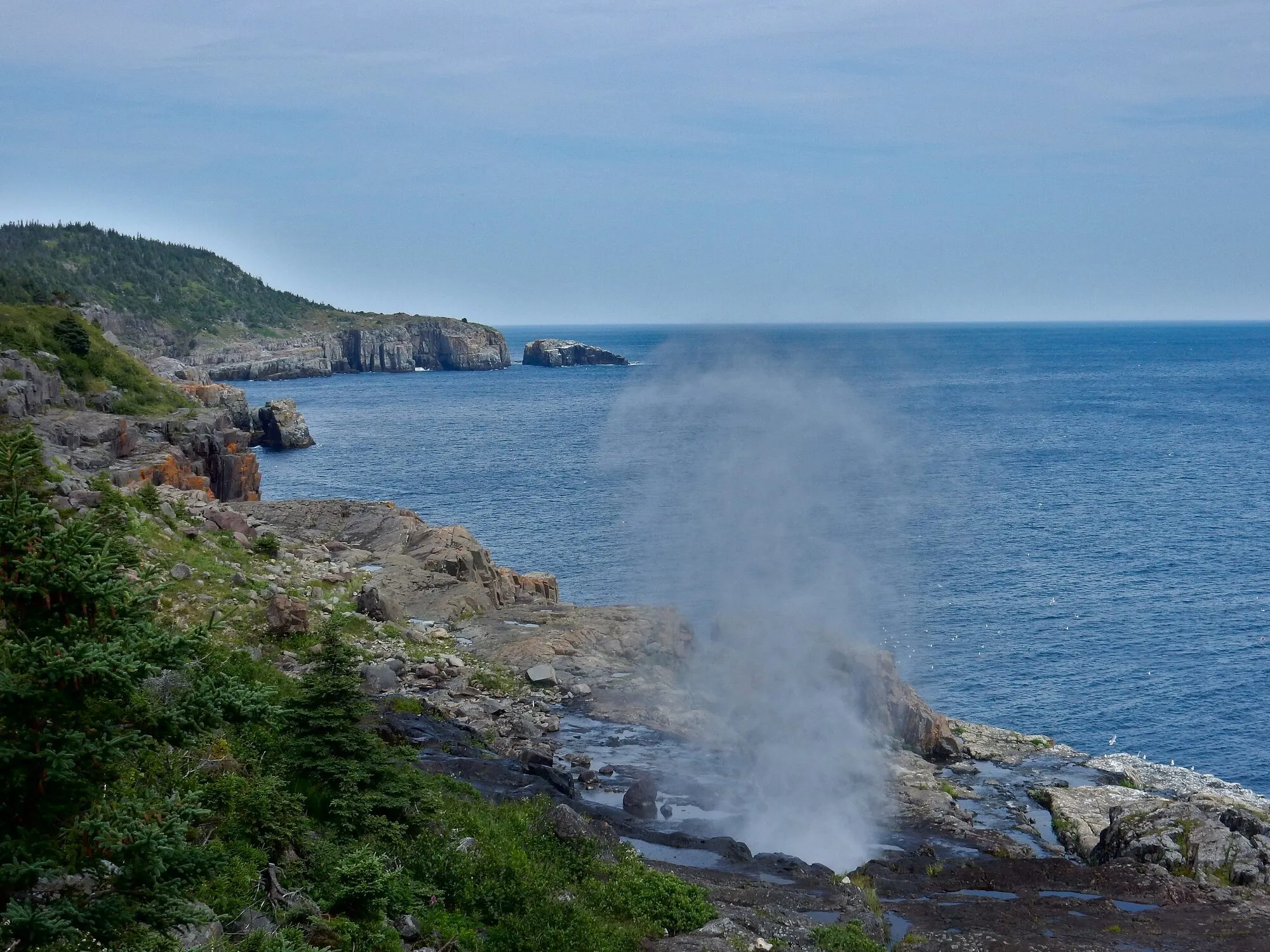
The Spout Path
Scan with your phone to open this page there. Then tap Keep for offline before you lose signal.
- Length
- 16.2 km one way
- The association's length. Most walk it one way with a lift waiting; there and back is 32.4 km.
- Our mapped line reads 15.1 km; a mapped line under-reads a winding path, so the figure above is the association's.
- Climbing
- 759 m
- Every up added together; the highest point is 101 m.
- To the trailhead
- 43 km
Type of trail
Point to point
A trailhead at each end: walk it one way with a car or a lift waiting, or turn round and walk it back.
Source: East Coast Trail Association, “Route: Shoal Bay Road (Goulds) to Bay Bulls”.
strenuousThe East Coast Trail Association's rating, for the path walked one way: 16.2 km and about 759 m of climbing. How
Access: the rating measures effort only. Surface isn't recorded for most of it. Step-free access isn't recorded; ask the park before you go.
East Coast Trail, path 13 of 25. The association allows 6 to 9 hours and rates it strenuous. It joins Motion Path to the north and Mickeleens Path to the south. Walking it one way, your lift waits where the next path starts: that end is 28 km by road from St. John's airport. The GPX marks it "Path end". Every path →
Drive: 42.5 km from the St. John's (YYT) terminal to the trailhead — not the town. OSRM driving profile, terminal to the trailhead, checked 2026-09-09.
The trail, measured
Spout Path: the mapped path is 15.1 km with 759 m of climbing, from 0 m up to 101 m.
Every cited segment →
OpenStreetMap way/125018303 + way/165024657 + way/165024660 + way/165024655 + way/165024658 + way/165024654 + way/165024653 + way/165024656 + way/1098573951 + way/439362569, members of relation/2199386 (East Coast Trail, operator The East Coast Trail Association); elevation from AWS Open Data Terrarium tiles (z14), sampled ~30 m, ascent over a 3 m noise threshold; measured 2026-09-09.
Check today's conditions before you go →
Use another map app
Apple Maps · Google Maps · Organic Maps · OsmAnd (both work offline, no tracking) · WazeTake it on your phone or watch
Only useful with a hiking app or a GPS watch. Just heading to the start? Use the directions above.
Save the track for a hiking or watch app (GPX)The file follows the mapped line, 15.1 km; the signed path is 16.2 km. Expect your watch to read about 1.1 km short at the finish.
- Garmin: import it as a Course in Garmin Connect, then send it to your watch.
- Apple Watch: open it in a route app that runs on the watch, such as WorkOutDoors or Footpath.
- Suunto, COROS, Polar: import it as a route in the watch's app, then sync.
- Phone, offline: open it in Organic Maps or OsmAnd and download the map area before you lose signal.
Just a file: no account, nothing tracked.
No recorded track yet.Walked it? Send yours →
Getting here
To Spout Path trailhead, Bay Bulls from every airport and ferry, measured by road.
It sits on the Irish Loop circuit — 7 stops on it, with the road numbers, the surface and where to eat along it. The distance above is the drive there.
What has been recorded near here
Wildlife people have reported within 10 km of Spout Path trailhead, Bay Bulls, and the months they saw it. Tap a name for everywhere else on our drives it turns up.
- Humpback whalewhaleMegaptera novaeangliaeReports cluster in July, August, June2,536 reports on record
- Atlantic puffinseabirdFratercula arcticaReports cluster in July, June, August2,386 reports on record
- Northern gannetseabirdMorus bassanusReports cluster in July, June, August1,271 reports on record
Reports, not counts: busy harbours report more. No sighting is promised, and the list covers only the species we look up. Source: GBIF, the international record of wildlife sightings, checked 2026-10-07.
Eating, when you come off
Places to eat within 25 km by road of the trailhead, nearest first. 1 of 11 has a confirmed position.
- Paddy's Conv. & Sub Shop Ltd.Main Rd.2.1 kmunconfirmed — go by the address
- Stone Ducky56 St Johns Rd · (709) 334-38252.6 kmunconfirmed — go by the address
- Tongue & Cheek22 Lower Road · (709) 753-48502.8 kmunconfirmed — go by the address
- Sapphire Scoops24 St Johns Rd · (709) 334-22232.9 kmunconfirmed — go by the address
- The Jigger573 Main Rd · (709) 334-33303.3 kmunconfirmed — go by the address
- Arbour Restaurant and Lounge1 Island Cove Rd · (709) 334-33884.4 kmunconfirmed — go by the address
- 241 Pizza1 Island Cove Road · (709) 334-11774.4 kmunconfirmed — go by the address
- Tim HortonsHighway 10 At Witless Bayline · (709) 334-22105.1 kmDirections →
Other map apps
Apple · Google · Organic Maps · OsmAnd (both work offline, no tracking) · Waze
No opening hours: the map data for these places has none. Phone ahead. Built 2026-10-11.
No photo yet. Walked it? Send yours.
Fifteen kilometres of mapped path with 759 m of climbing. The profile shows what the total does not: it rises and falls the whole way, the highest ground barely a hundred metres above the sea, with no one long climb. The trailhead is at Bay Bulls, where the Irish Loop’s measurement starts: 42.5 km from the terminal at St. John’s.
This is a wilderness path, not a park trail. The East Coast Trail Association builds and maintains it, publishes path advisories, and decides whether it is passable today. Unfenced cliff edge is normal here. The rating above is length and climb only. It does not tell you the trail is safe on the day. Read the association’s information before you go, and take any advisory seriously.
Length comes from the mapped way geometry and ascent from open terrain data sampled every thirty metres, both cited above. What the path is like on the day is for the association to say and you to find out.
Measured September 9, 2026. Trailhead: OpenStreetMap way/125018303 — the path's mapped end at the Bay Bulls side.