What you came for
Heritage
Places kept for their history: historic sites, museums and old towns.
39 places, A to Z, then 15 loops. Numbers match the map.
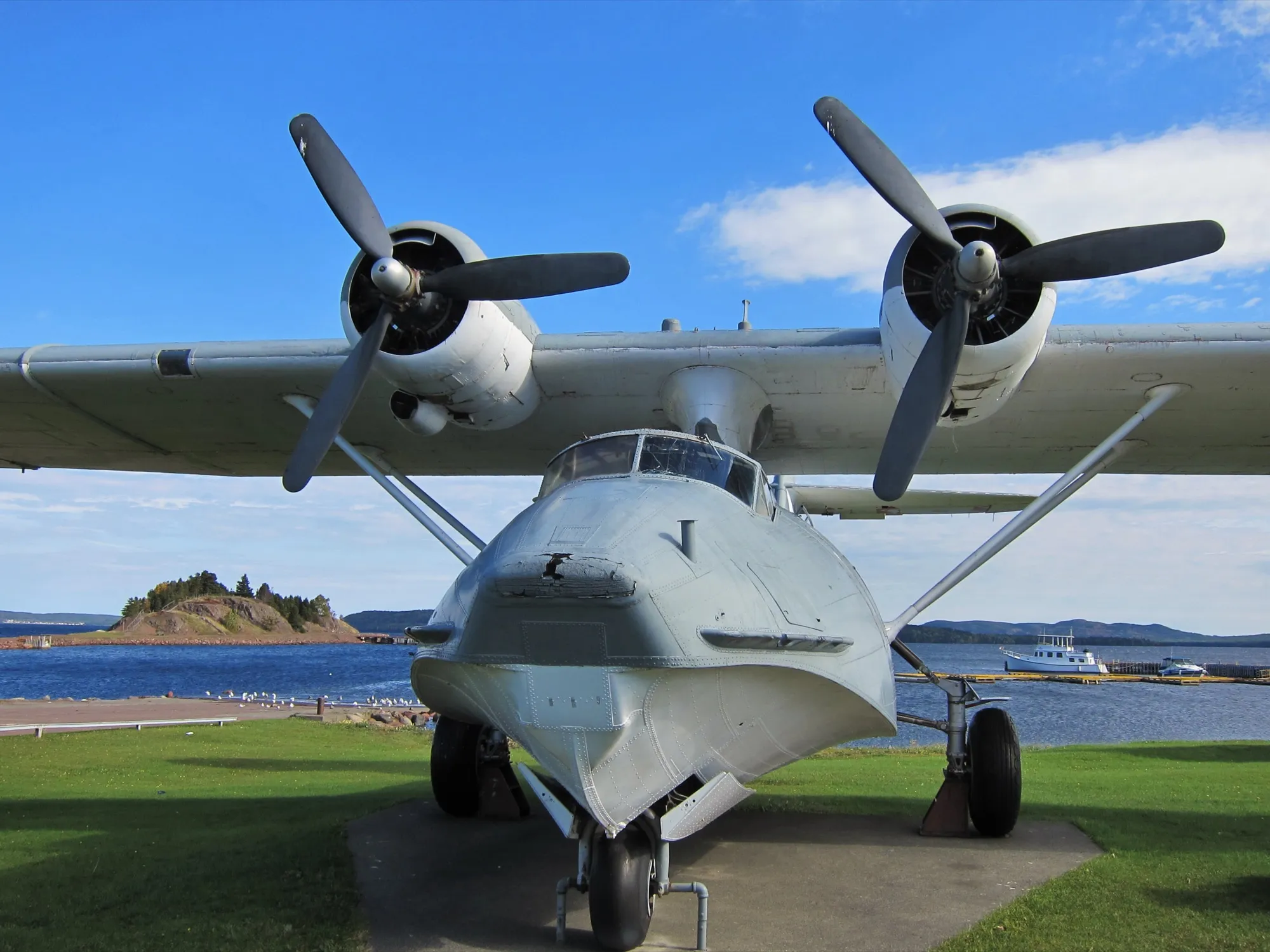
1Botwood
To Botwood from every airport and ferry, measured by road.
Tap where you arrive to see the drive on the map.
Photograph: Mike from Vancouver, Canada · CC BY-SA 2.0
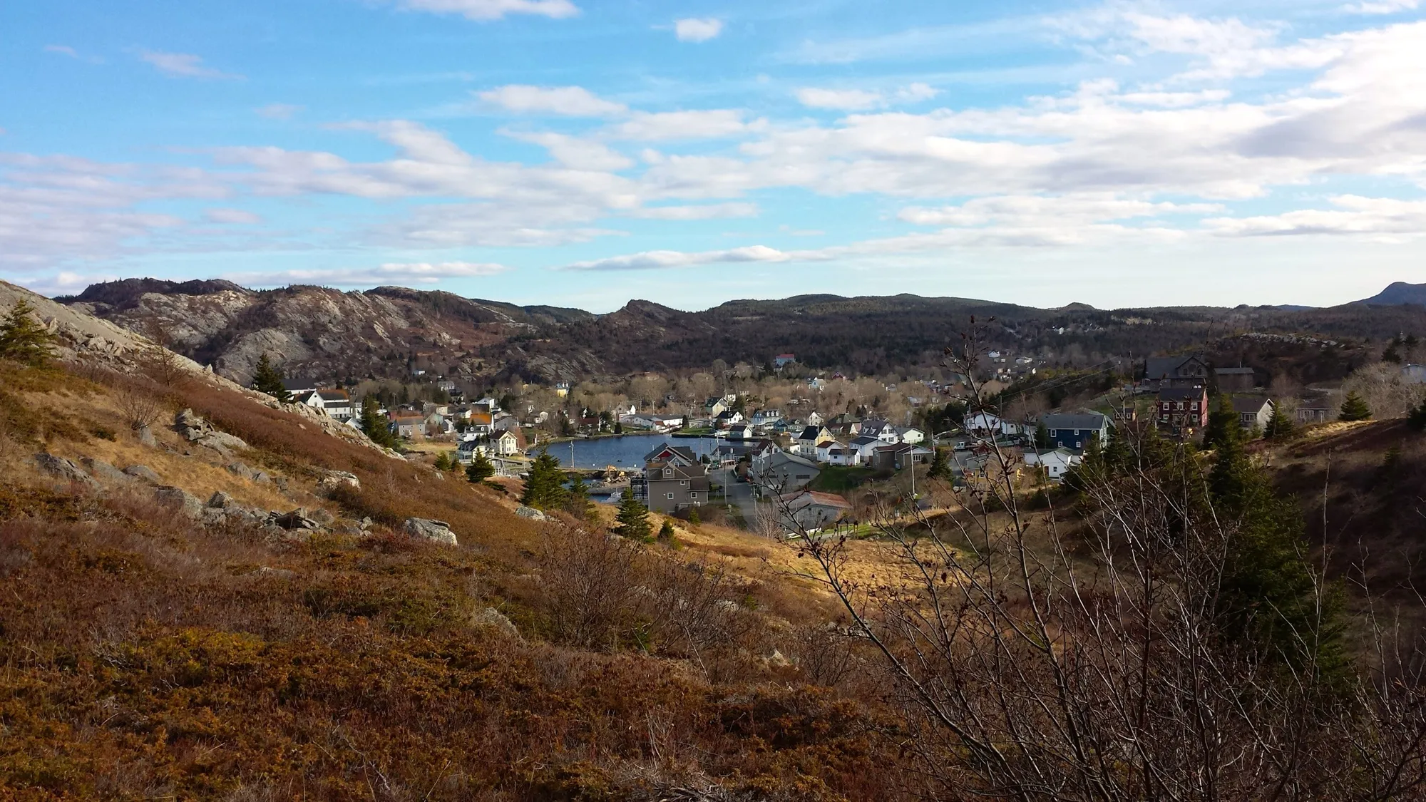
2Brigus
To Brigus from every airport and ferry, measured by road.
Tap where you arrive to see the drive on the map.
Photograph: Grazioso2 · CC BY-SA 4.0
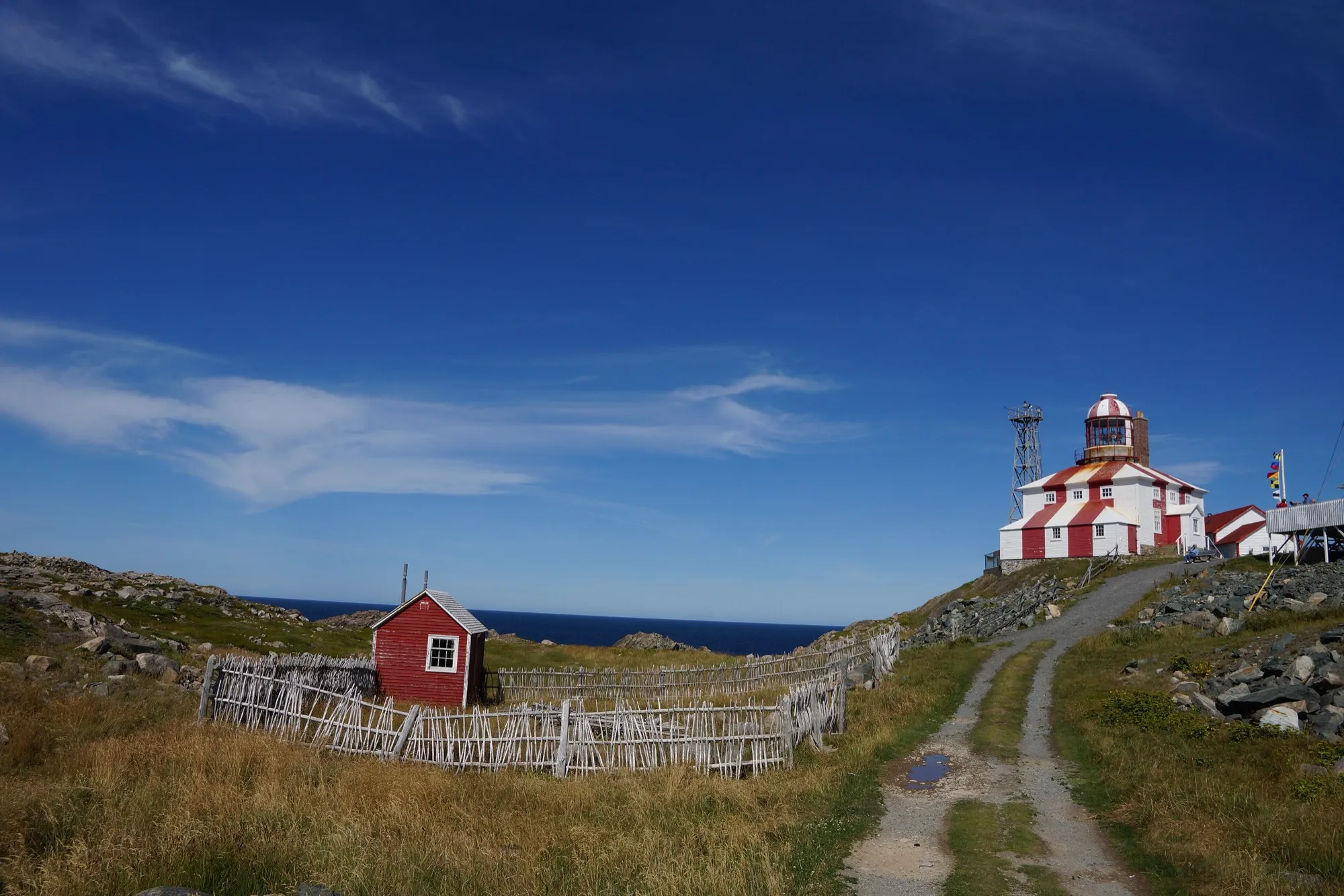
3Cape Bonavista Lighthouse
To Cape Bonavista Lighthouse from every airport and ferry, measured by road.
Tap where you arrive to see the drive on the map.
Photograph: ErixS · CC BY-SA 3.0
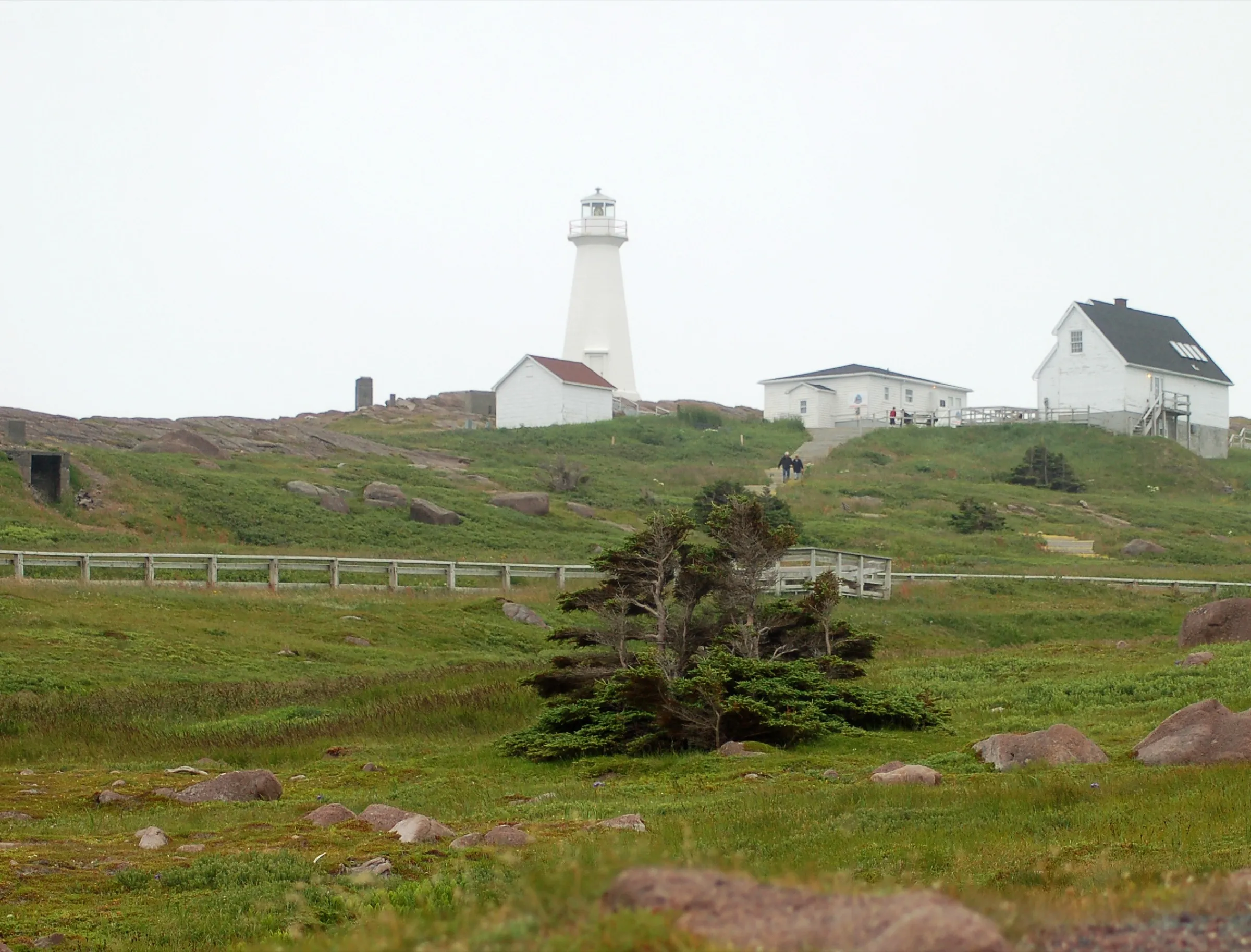
4Cape Spear
To Cape Spear from every airport and ferry, measured by road.
Tap where you arrive to see the drive on the map.
Photograph: Nilfanion · CC BY-SA 3.0
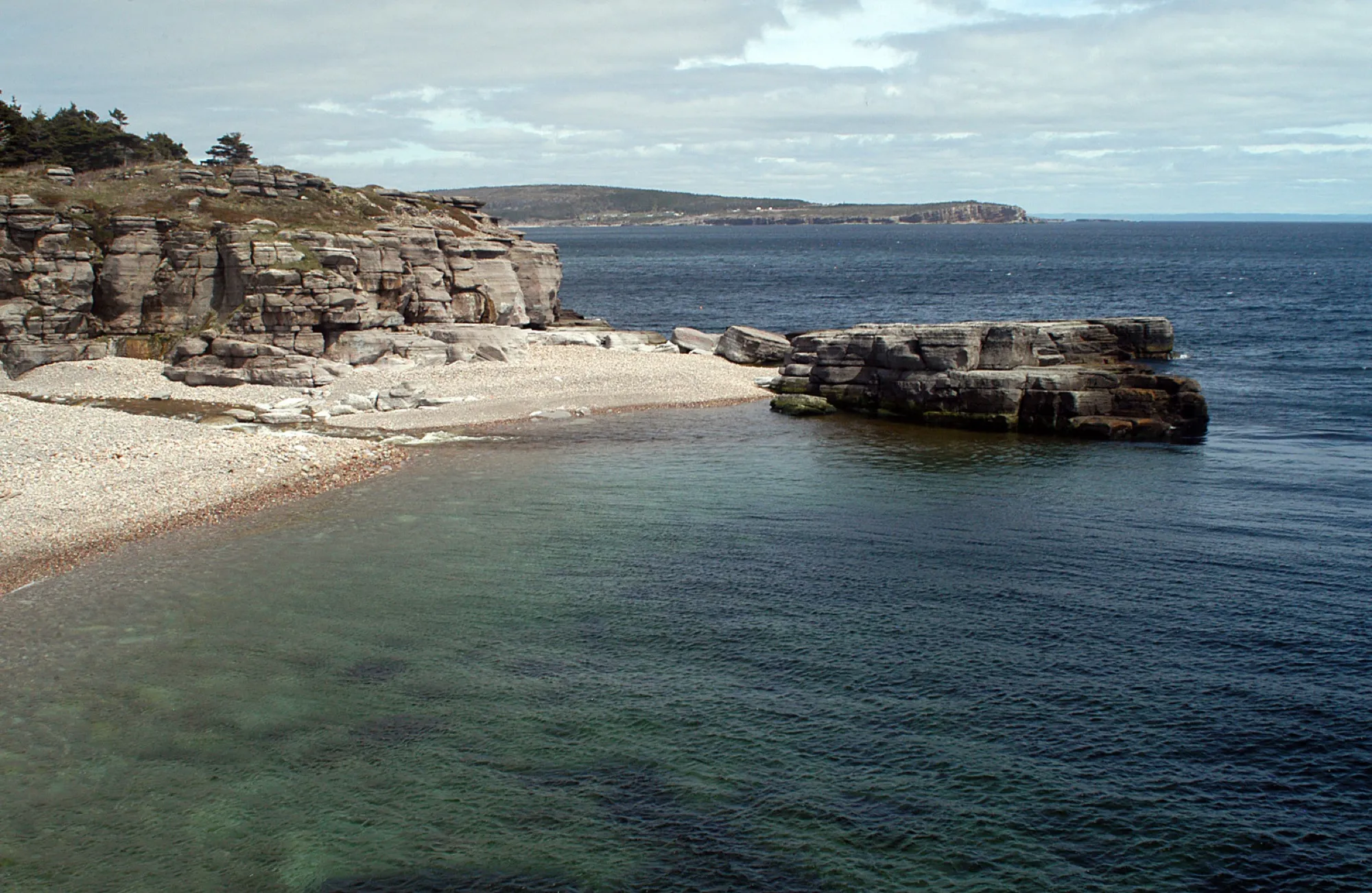
5Cape St. George
To Cape St. George from every airport and ferry, measured by road.
Tap where you arrive to see the drive on the map.
Photograph: Joanna Poe from Munith, MI, USA · CC BY-SA 2.0
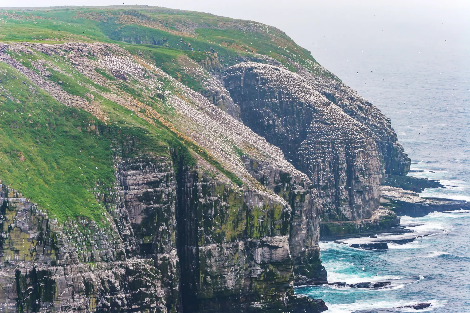
6Cape St. Mary's Ecological Reserve
To Cape St. Mary's Ecological Reserve from every airport and ferry, measured by road.
Tap where you arrive to see the drive on the map.
Photograph: Michel Rathwell from Cornwall, Canada · CC BY 2.0
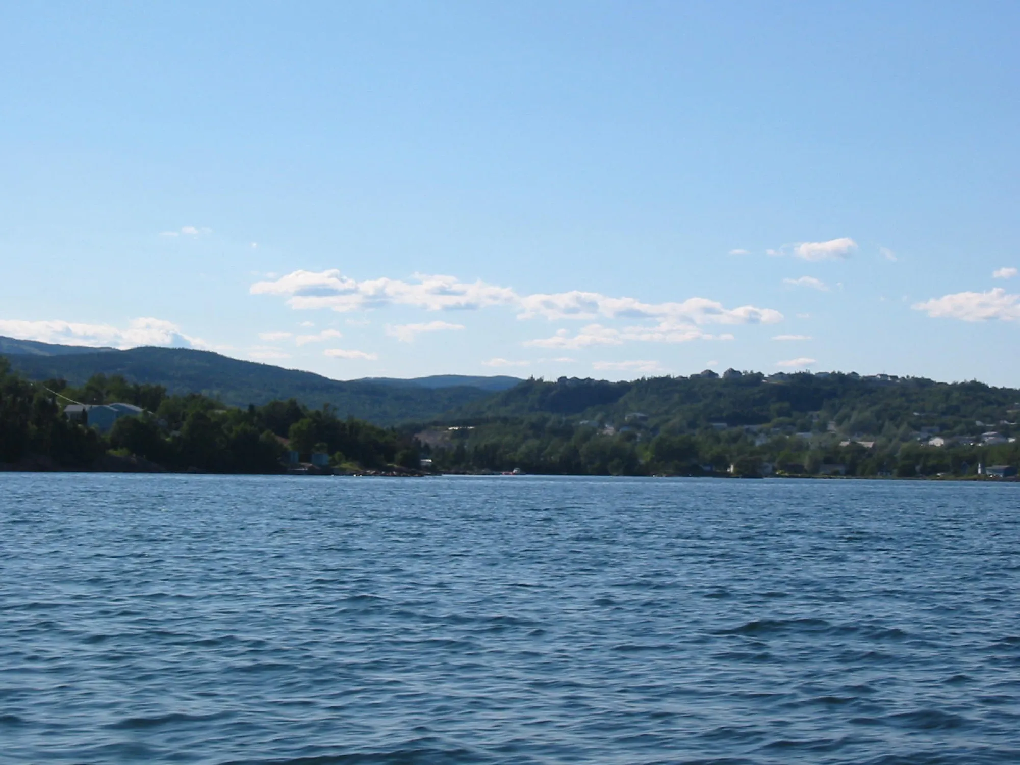
7Clarenville
To Clarenville from every airport and ferry, measured by road.
Tap where you arrive to see the drive on the map.
Photograph: Rioux Photography Edmonton, AB · Public domain (PD-user)
8Comfort Cove-Newstead
To Comfort Cove-Newstead from every airport and ferry, measured by road.
Tap where you arrive to see the drive on the map.
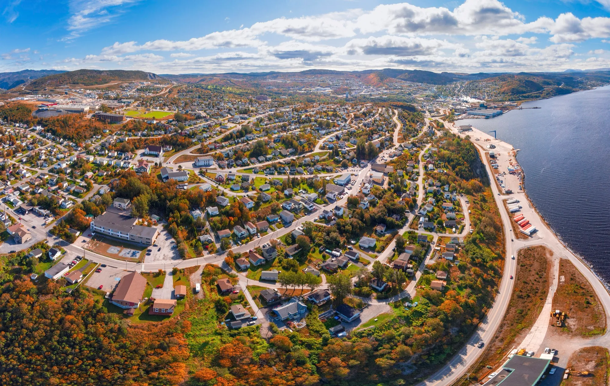
9Corner Brook
To Corner Brook from every airport and ferry, measured by road.
Tap where you arrive to see the drive on the map.
Photograph: ParsonsPhotographyNL · CC BY-SA 4.0
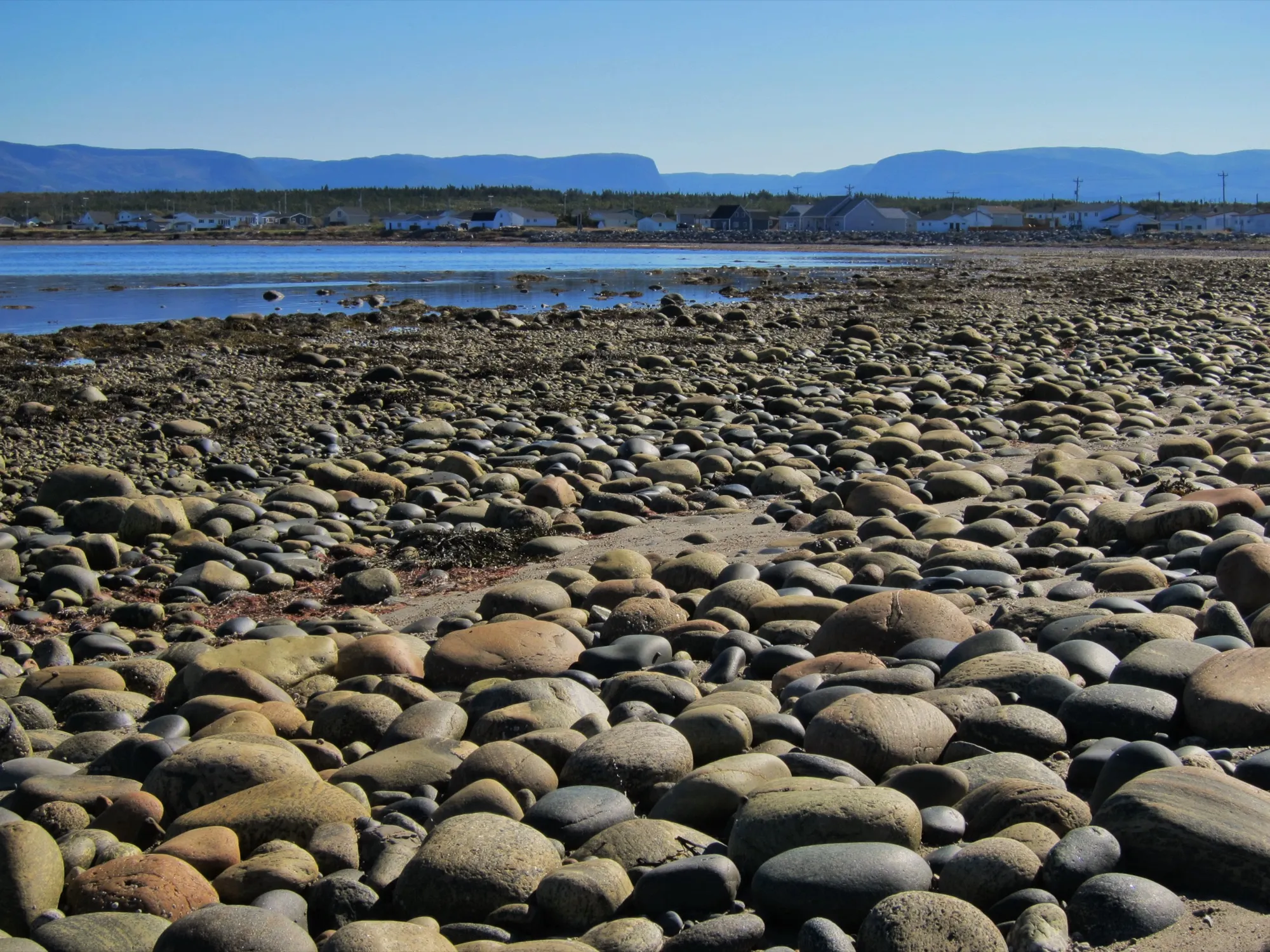
10Cow Head
To Cow Head from every airport and ferry, measured by road.
Tap where you arrive to see the drive on the map.
Photograph: Mike from Vancouver, Canada · CC BY-SA 2.0
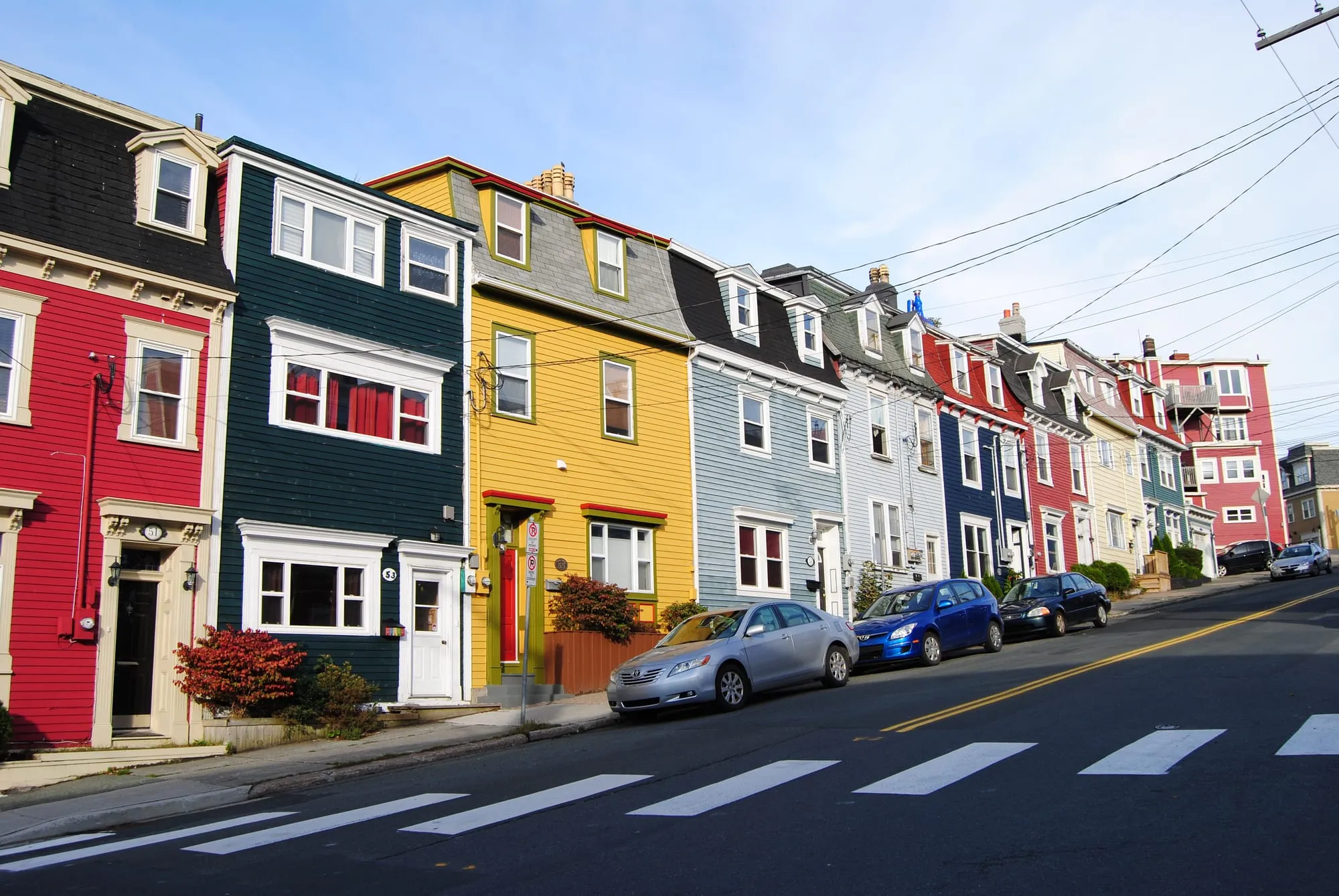
11Downtown St. John's
To Downtown St. John's from every airport and ferry, measured by road.
Tap where you arrive to see the drive on the map.
Photograph: Paul · CC BY 2.0
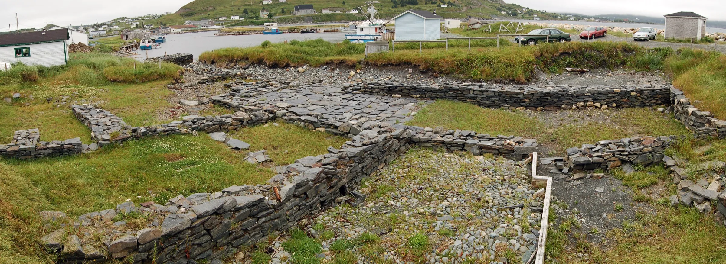
12Ferryland
To Ferryland from every airport and ferry, measured by road.
Tap where you arrive to see the drive on the map.
Photograph: Nilfanion · CC BY-SA 4.0
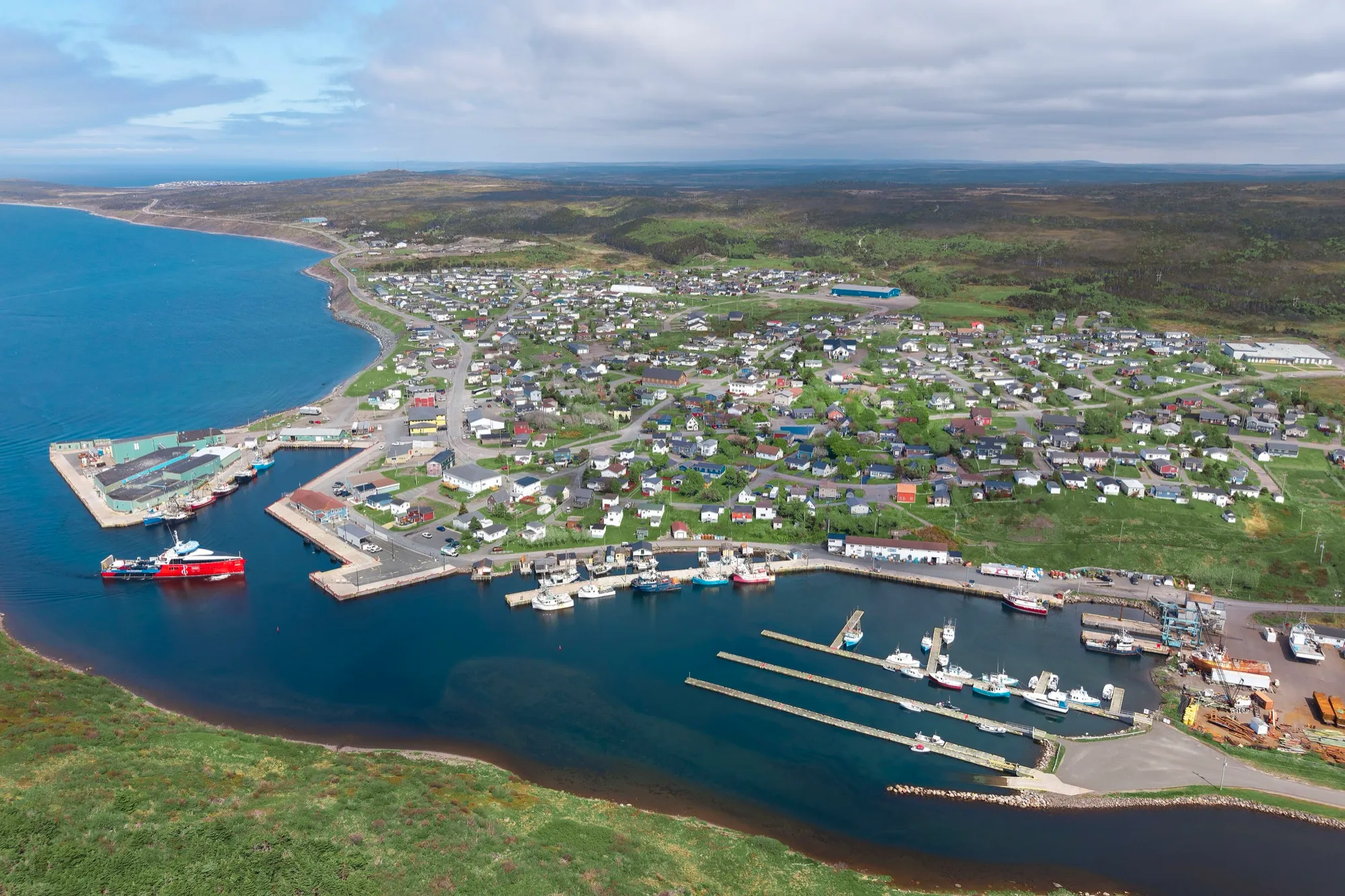
13Fortune
To Fortune from every airport and ferry, measured by road.
Tap where you arrive to see the drive on the map.
Photograph: Quintin Soloviev · CC BY 4.0
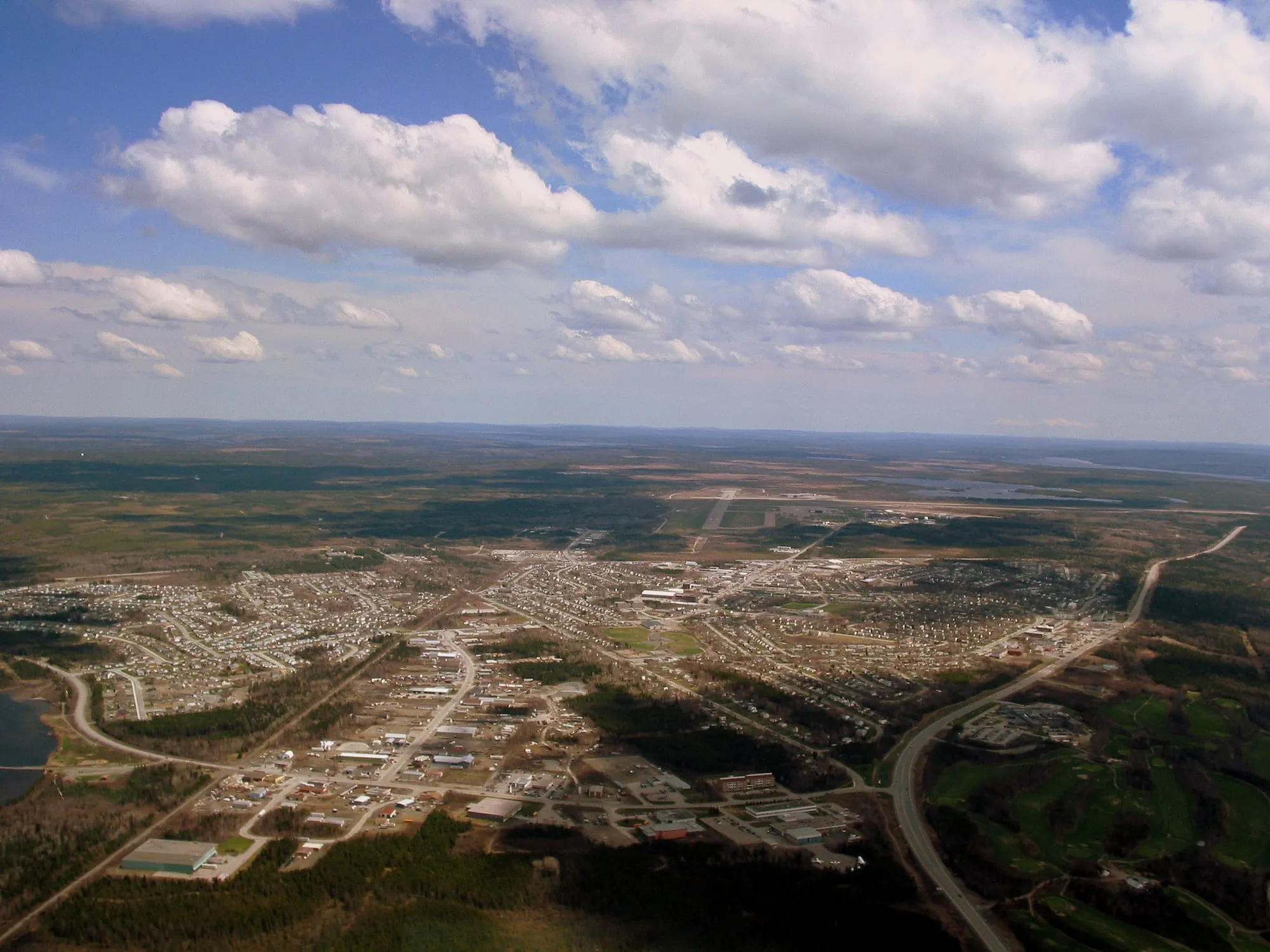
14Gander
To Gander from every airport and ferry, measured by road.
Tap where you arrive to see the drive on the map.
Photograph: Shawn from Airdrie, Canada · CC BY-SA 2.0
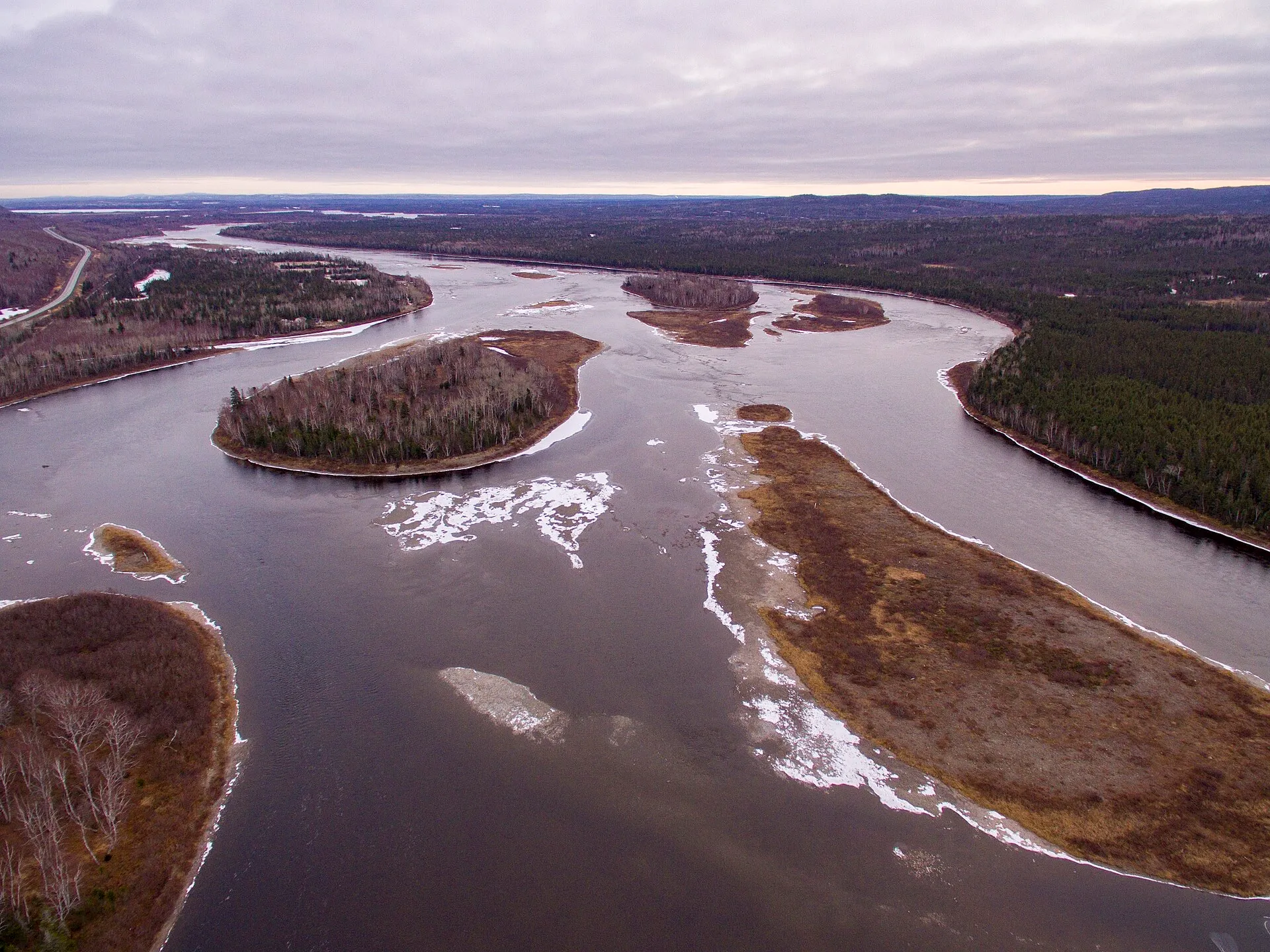
15Grand Falls-Windsor
To Grand Falls-Windsor from every airport and ferry, measured by road.
Tap where you arrive to see the drive on the map.
Photograph: Shhewitt · CC BY-SA 4.0
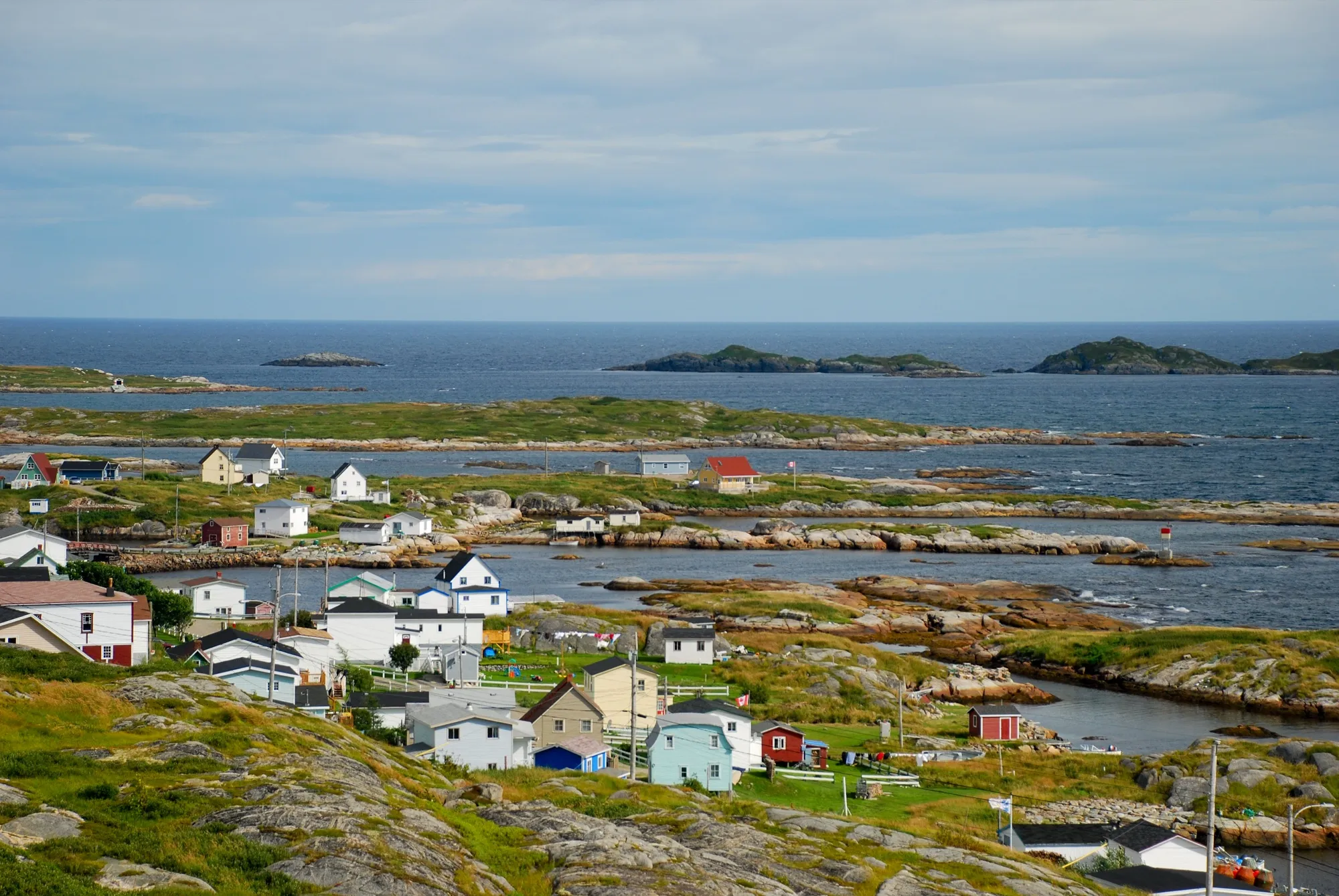
16Greenspond
To Greenspond from every airport and ferry, measured by road.
Tap where you arrive to see the drive on the map.
Photograph: Johnathan Nightingale · CC BY-SA 3.0
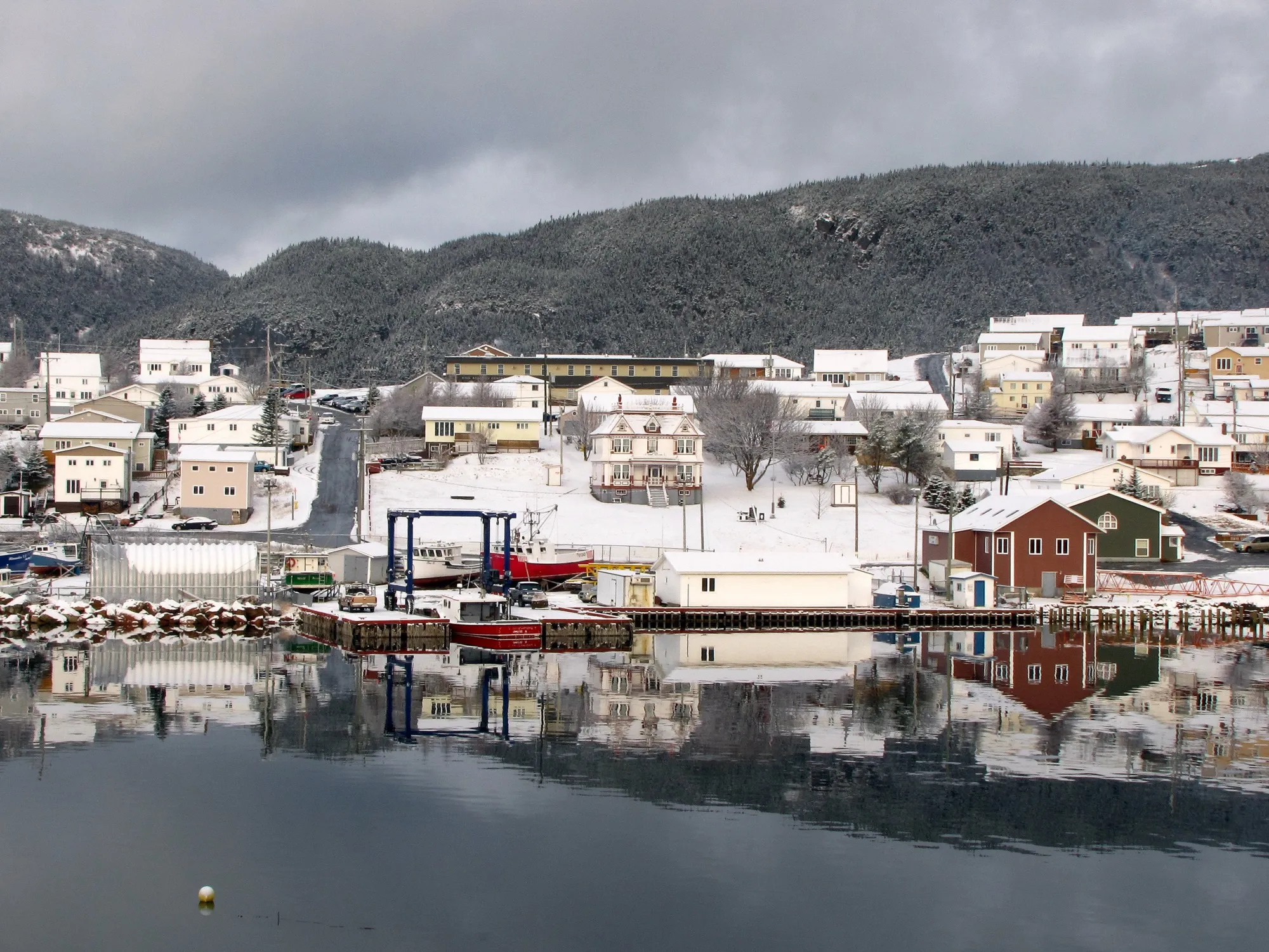
17Harbour Breton
To Harbour Breton from every airport and ferry, measured by road.
Tap where you arrive to see the drive on the map.
Photograph: Aiden Mahoney · CC BY-SA 2.0
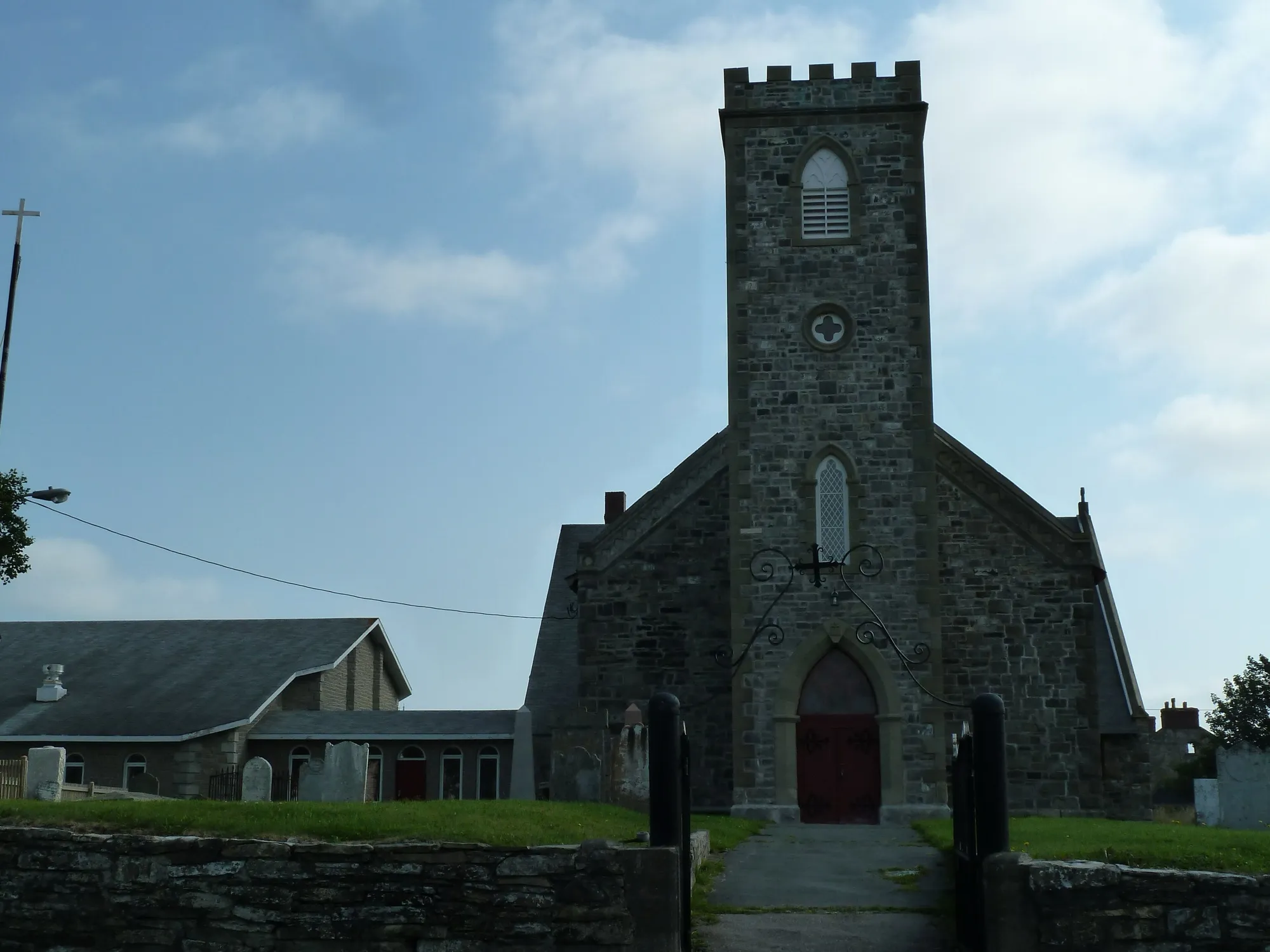
18Harbour Grace
To Harbour Grace from every airport and ferry, measured by road.
Tap where you arrive to see the drive on the map.
Photograph: Robthepiper · CC BY-SA 3.0
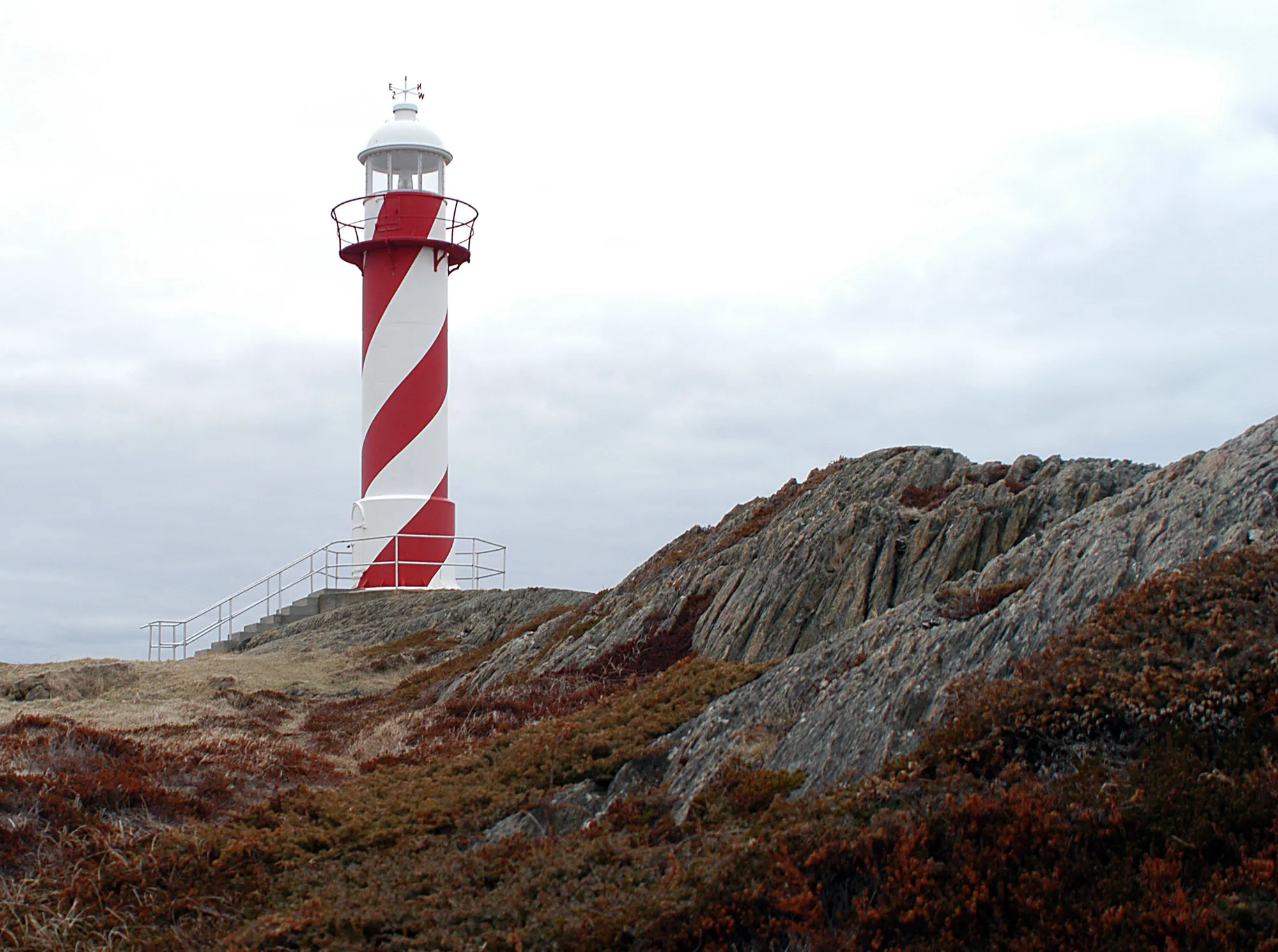
19Heart's Content
To Heart's Content from every airport and ferry, measured by road.
Tap where you arrive to see the drive on the map.
Photograph: Joanna Poe from Munith, MI, USA · CC BY-SA 2.0
20King's Point
To King's Point from every airport and ferry, measured by road.
Tap where you arrive to see the drive on the map.
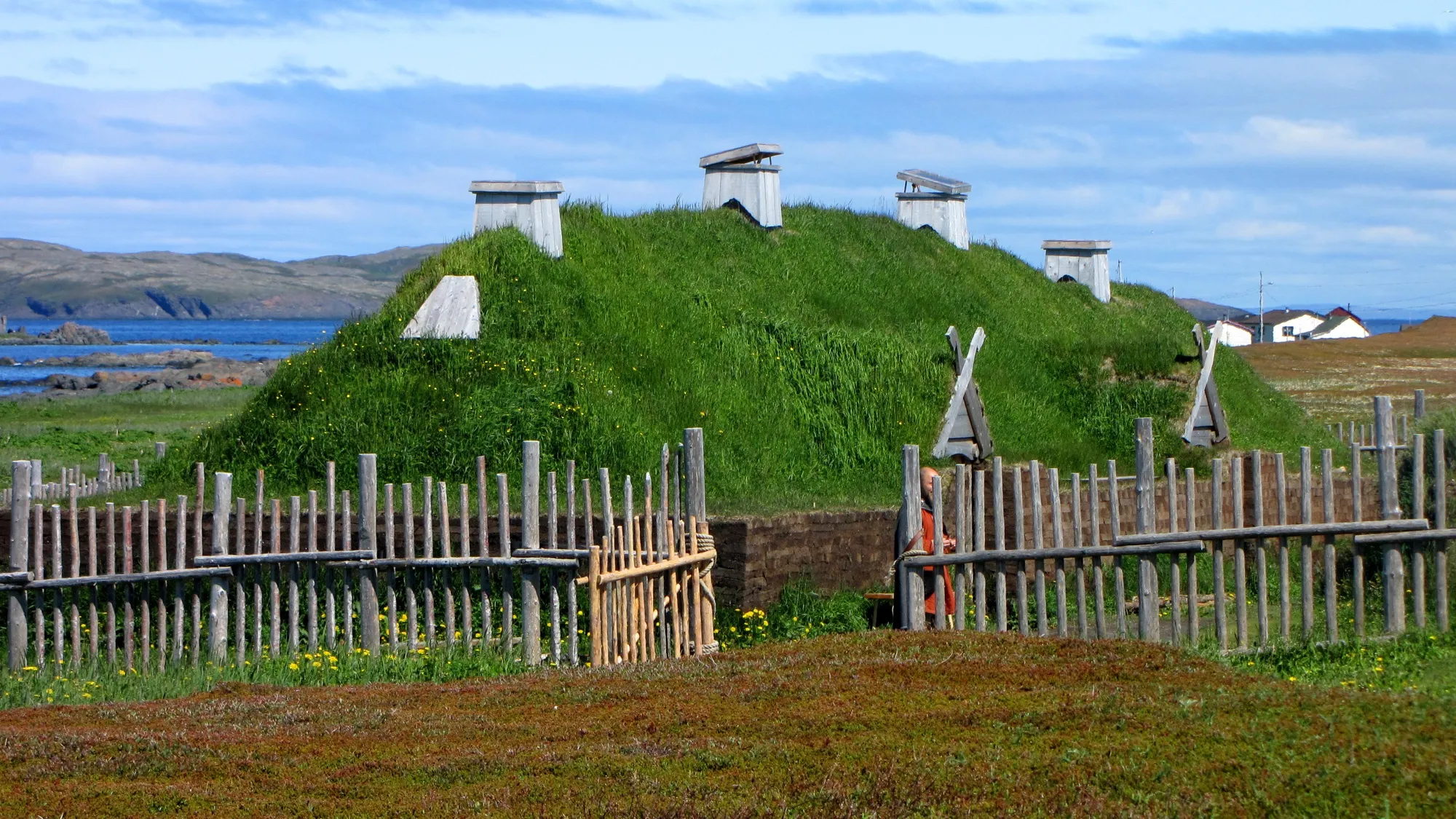
21L'Anse aux Meadows
To L'Anse aux Meadows from every airport and ferry, measured by road.
Tap where you arrive to see the drive on the map.
Photograph: D. Gordon E. Robertson · CC BY-SA 3.0
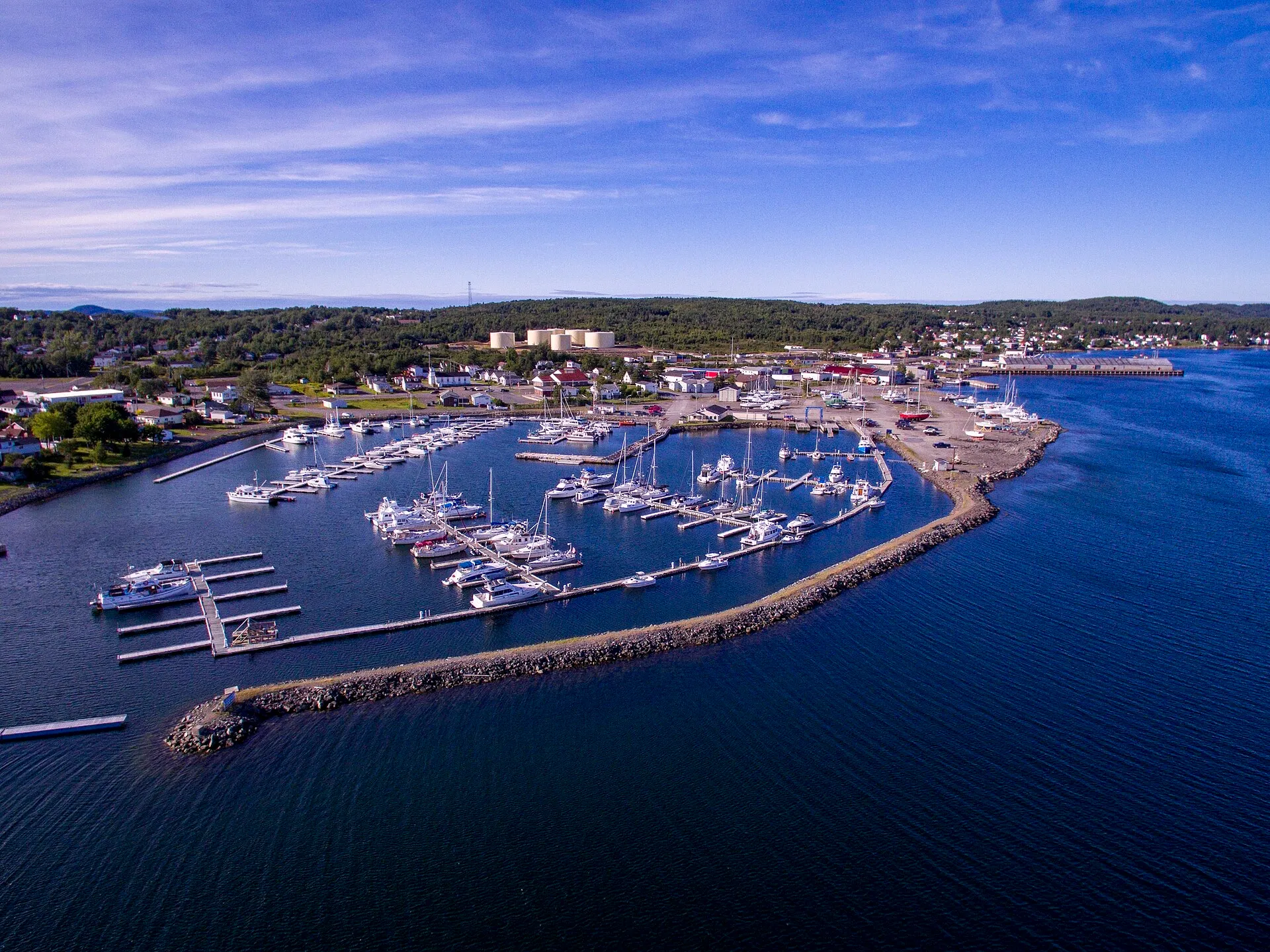
22Lewisporte
To Lewisporte from every airport and ferry, measured by road.
Tap where you arrive to see the drive on the map.
Photograph: Shhewitt · CC BY-SA 4.0
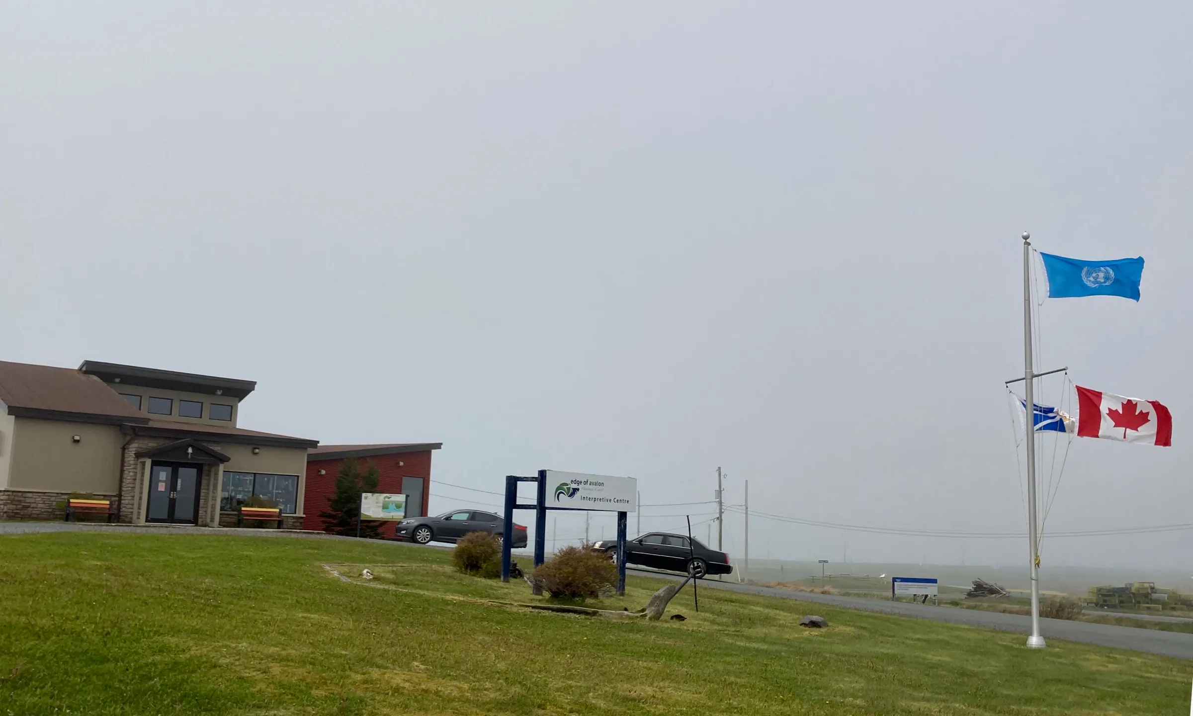
23Mistaken Point Interpretation Centre
To Mistaken Point Interpretation Centre from every airport and ferry, measured by road.
Tap where you arrive to see the drive on the map.
Photograph: Tracyanne · CC BY-SA 4.0
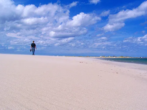
24Musgrave Harbour
To Musgrave Harbour from every airport and ferry, measured by road.
Tap where you arrive to see the drive on the map.
Photograph: Slickricksweet16 · CC BY-SA 3.0
25New-Wes-Valley
To New-Wes-Valley from every airport and ferry, measured by road.
Tap where you arrive to see the drive on the map.
26Pilley's Island ferry terminal
To Pilley's Island ferry terminal from every airport and ferry, measured by road.
Tap where you arrive to see the drive on the map.
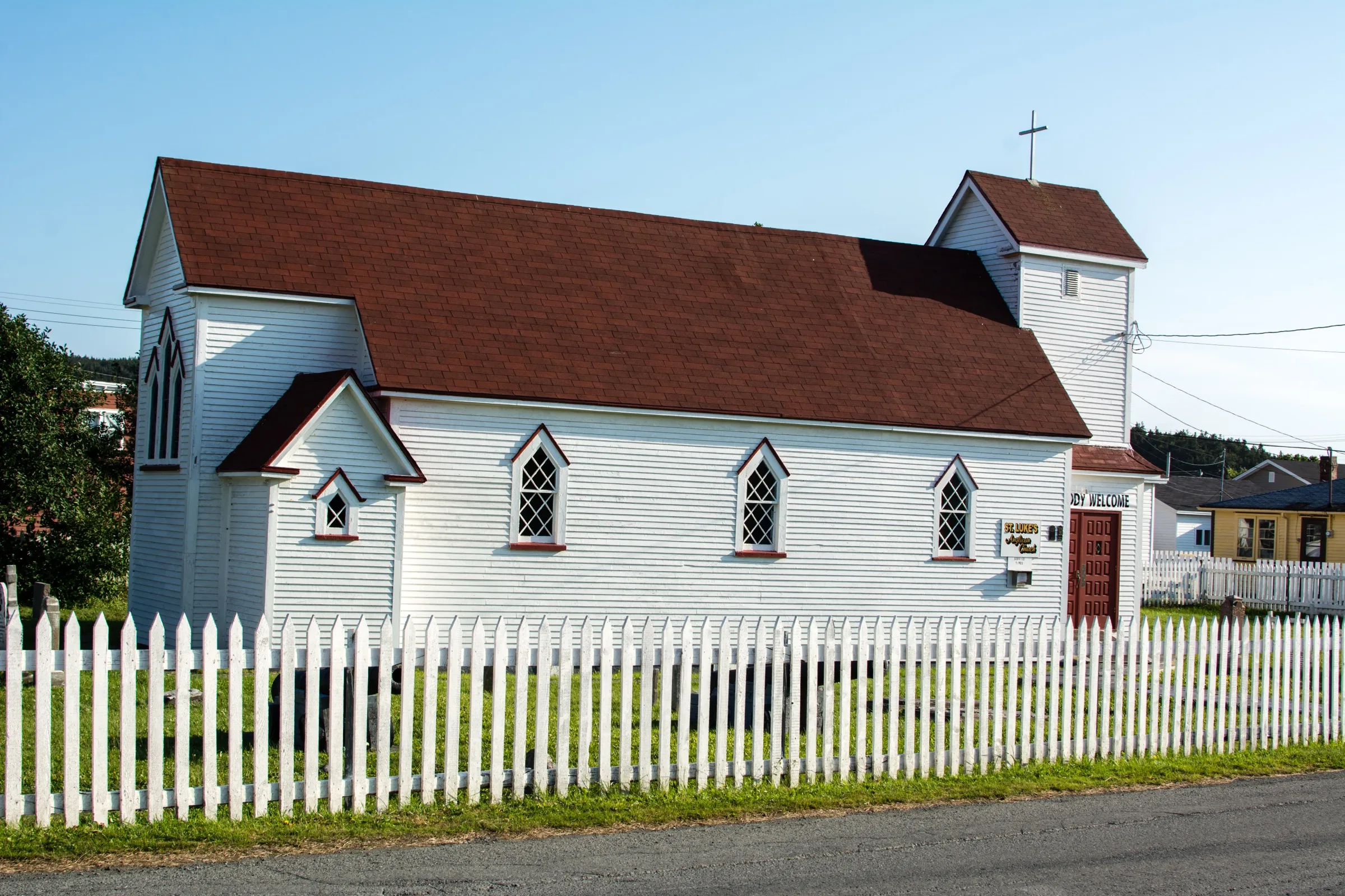
27Placentia
To Placentia from every airport and ferry, measured by road.
Tap where you arrive to see the drive on the map.
Photograph: Jeremy Thoms Hetzel · CC BY-SA 3.0
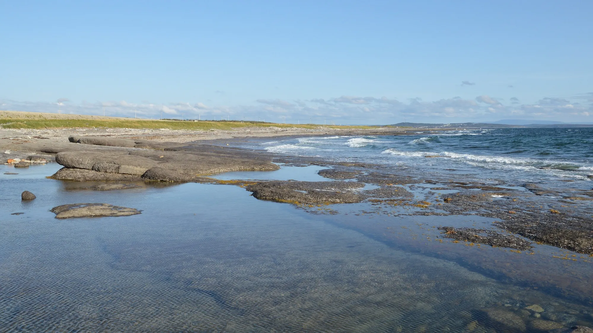
28Port au Choix
To Port au Choix from every airport and ferry, measured by road.
Tap where you arrive to see the drive on the map.
Photograph: Ryan Hodnett · CC BY-SA 4.0
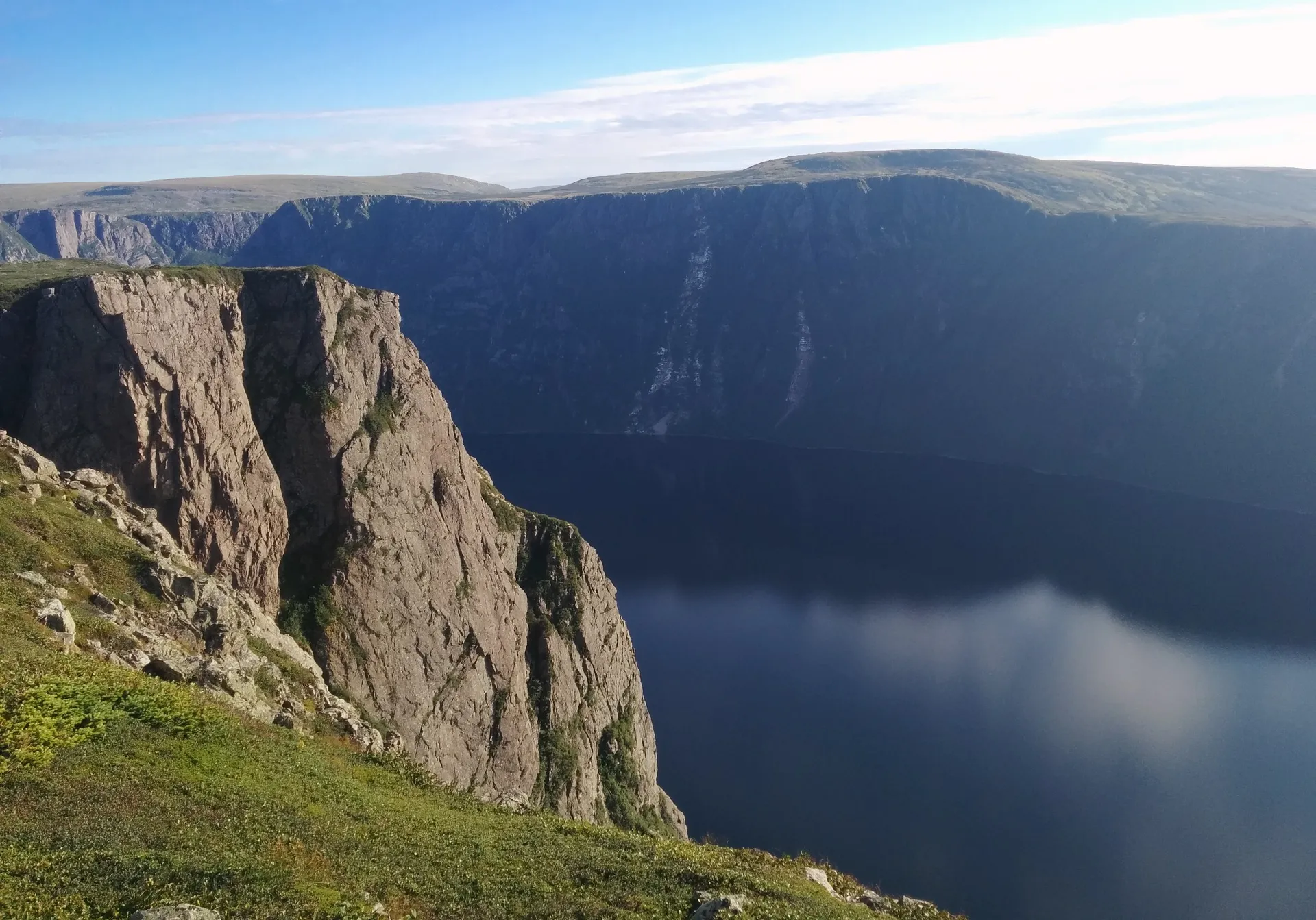
29Rocky Harbour
To Rocky Harbour from every airport and ferry, measured by road.
Tap where you arrive to see the drive on the map.
Photograph: FreeDoum · CC BY-SA 4.0
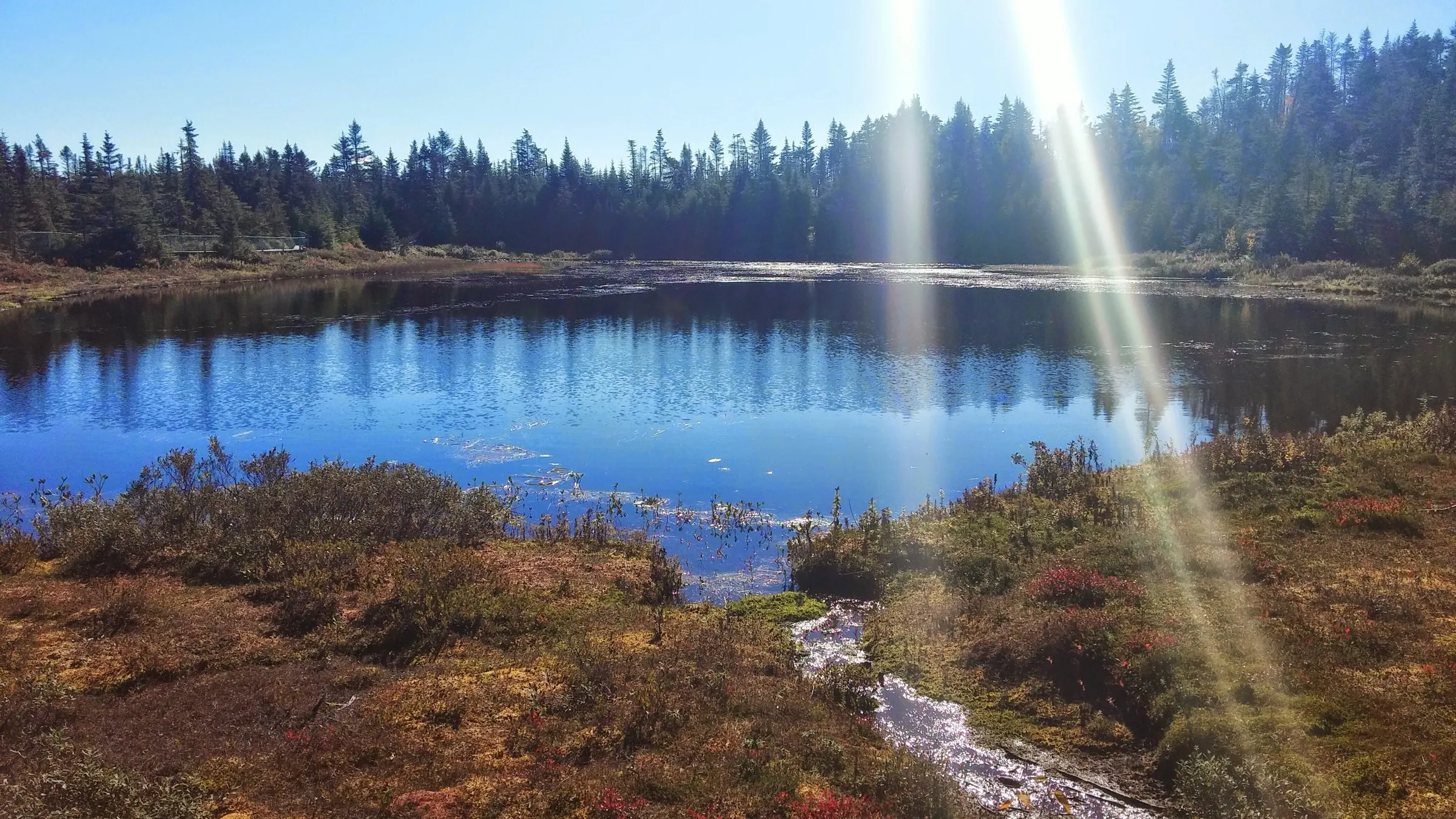
30Salmonier Nature Park
To Salmonier Nature Park from every airport and ferry, measured by road.
Tap where you arrive to see the drive on the map.
Photograph: Nikkiband · CC BY-SA 4.0
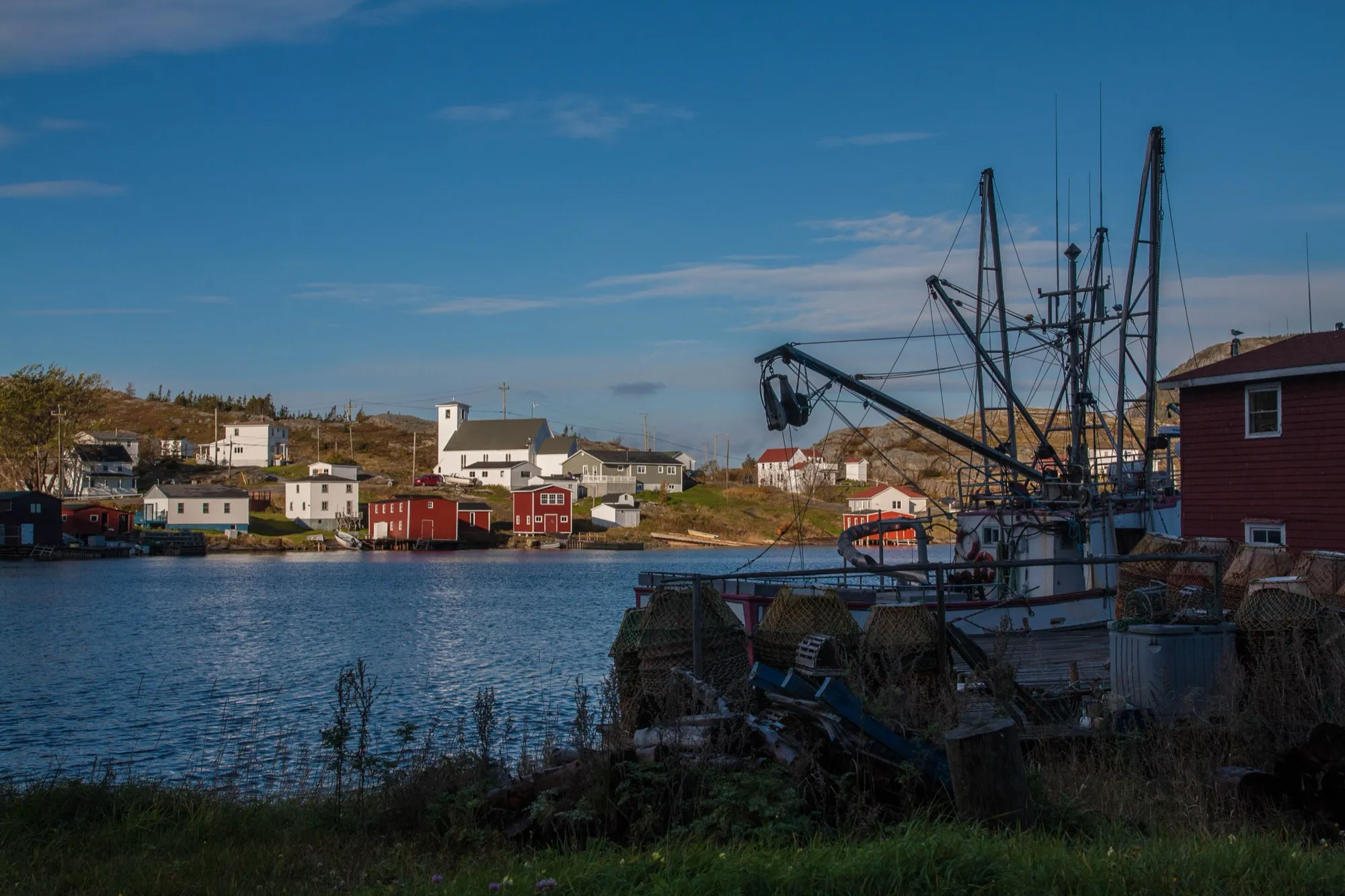
31Salvage
To Salvage from every airport and ferry, measured by road.
Tap where you arrive to see the drive on the map.
Photograph: Maciej · CC BY-SA 2.0
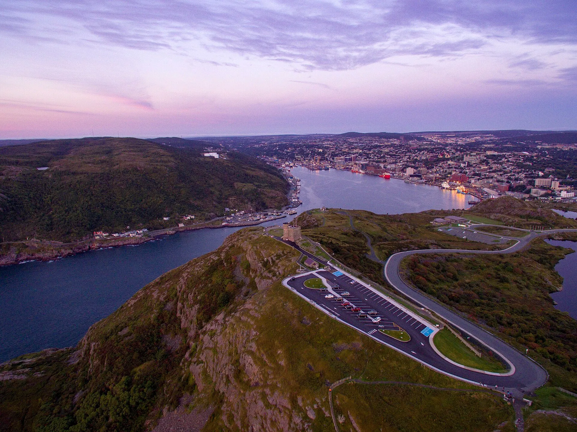
32Signal Hill (Cabot Tower)
To Signal Hill (Cabot Tower) from every airport and ferry, measured by road.
Tap where you arrive to see the drive on the map.
Photograph: Shhewitt · CC BY-SA 4.0
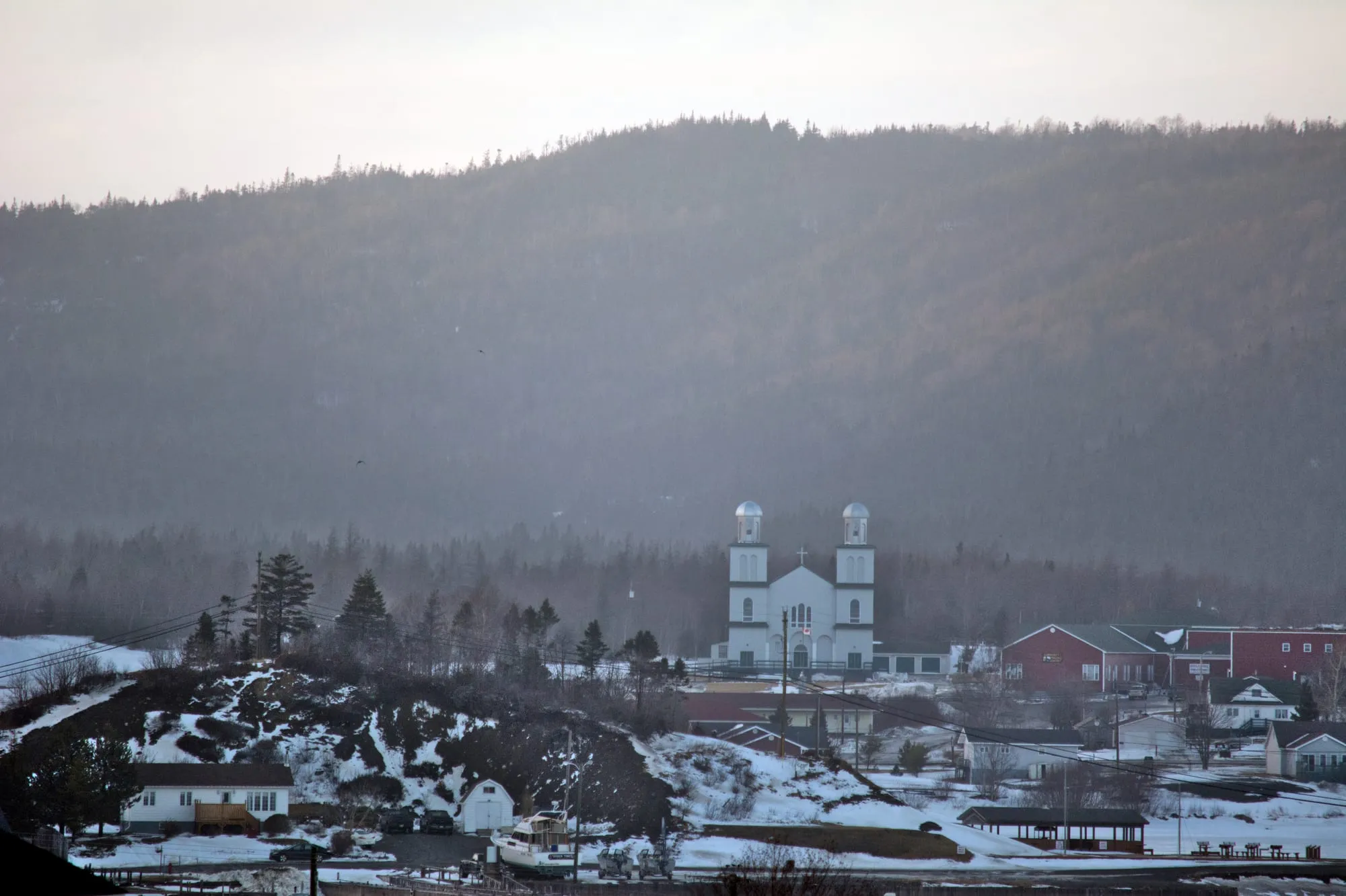
33St. Alban's
To St. Alban's from every airport and ferry, measured by road.
Tap where you arrive to see the drive on the map.
Photograph: Clif Budden · CC BY 2.0
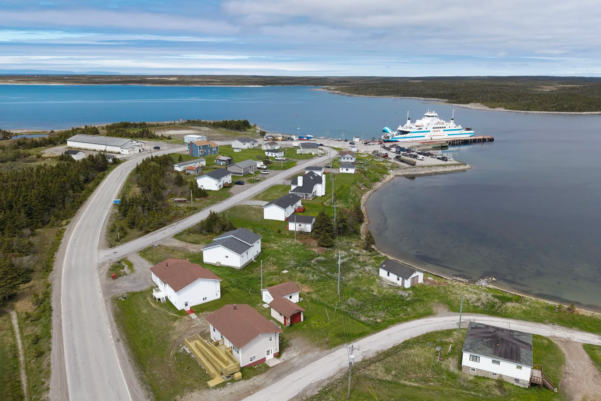
34St. Barbe ferry terminal
To St. Barbe ferry terminal from every airport and ferry, measured by road.
Tap where you arrive to see the drive on the map.
Photograph: Quintin Soloviev · CC BY 4.0
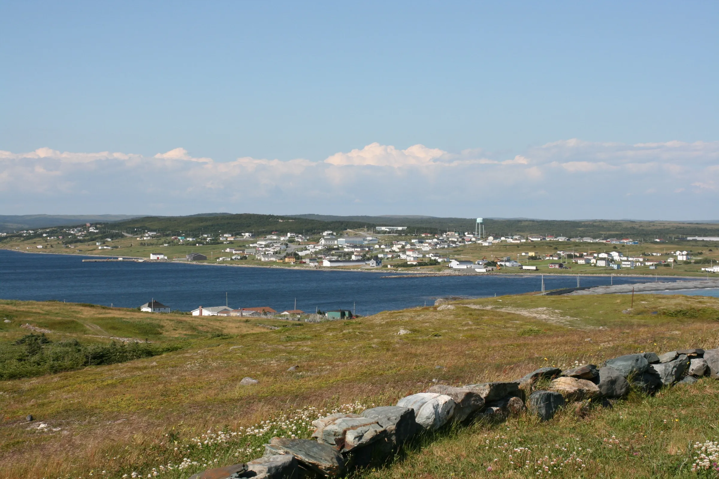
35Trepassey
To Trepassey from every airport and ferry, measured by road.
Tap where you arrive to see the drive on the map.
Photograph: M.McConnell · CC BY-SA 3.0
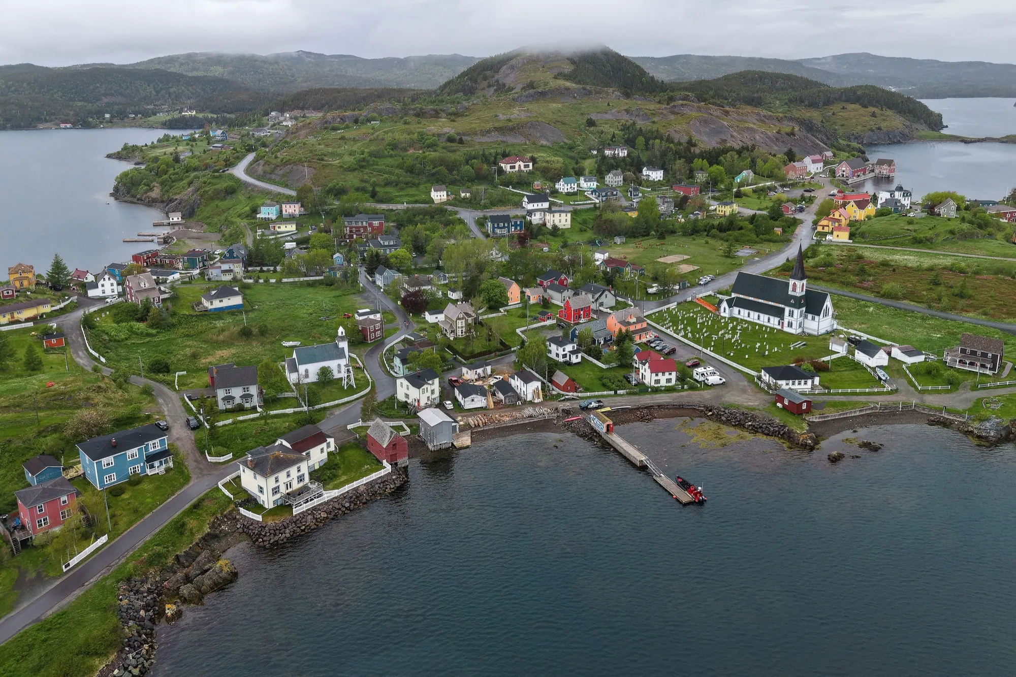
36Trinity
To Trinity from every airport and ferry, measured by road.
Tap where you arrive to see the drive on the map.
Photograph: Quintin Soloviev · CC BY 4.0
37Triton
To Triton from every airport and ferry, measured by road.
Tap where you arrive to see the drive on the map.
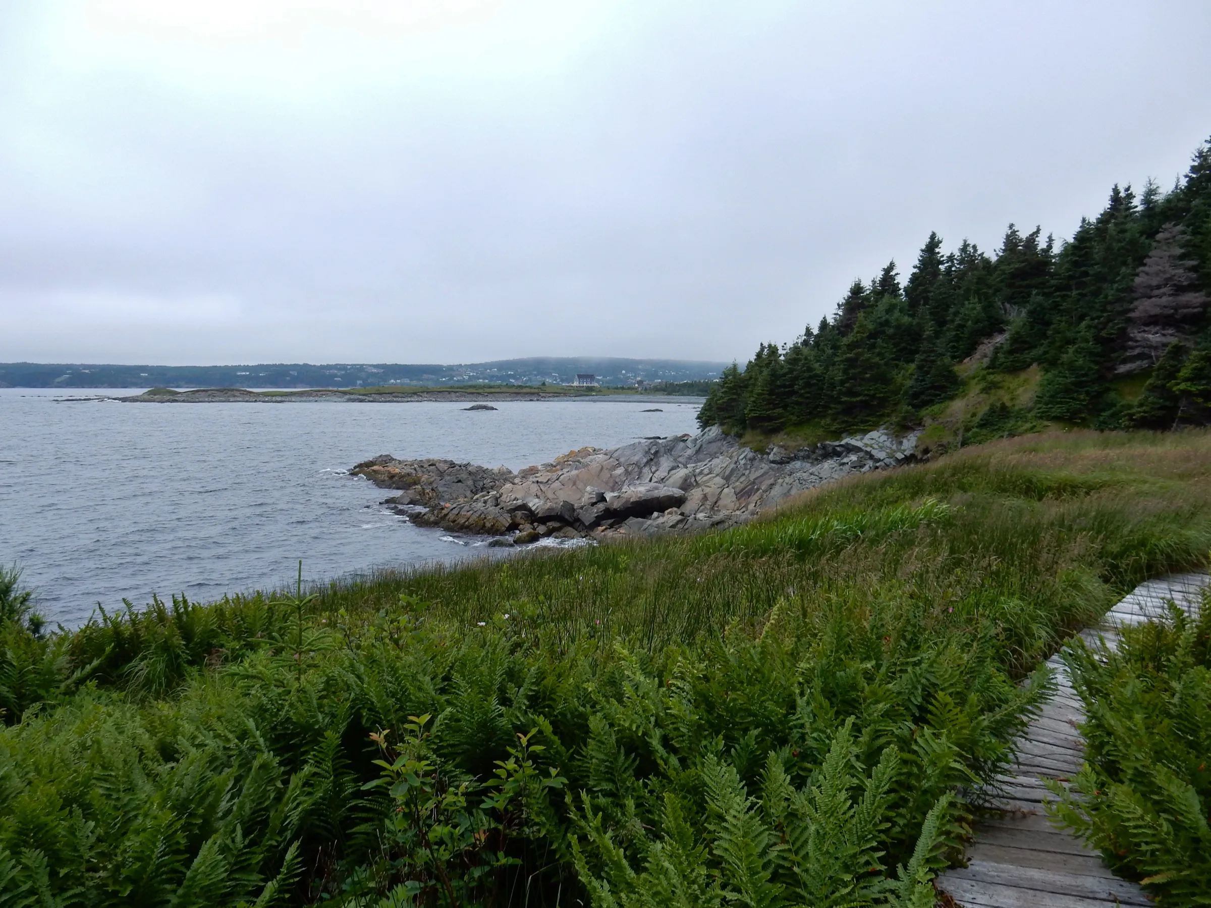
38Witless Bay
To Witless Bay from every airport and ferry, measured by road.
Tap where you arrive to see the drive on the map.
Photograph: Brett Hodnett · CC BY-SA 2.0
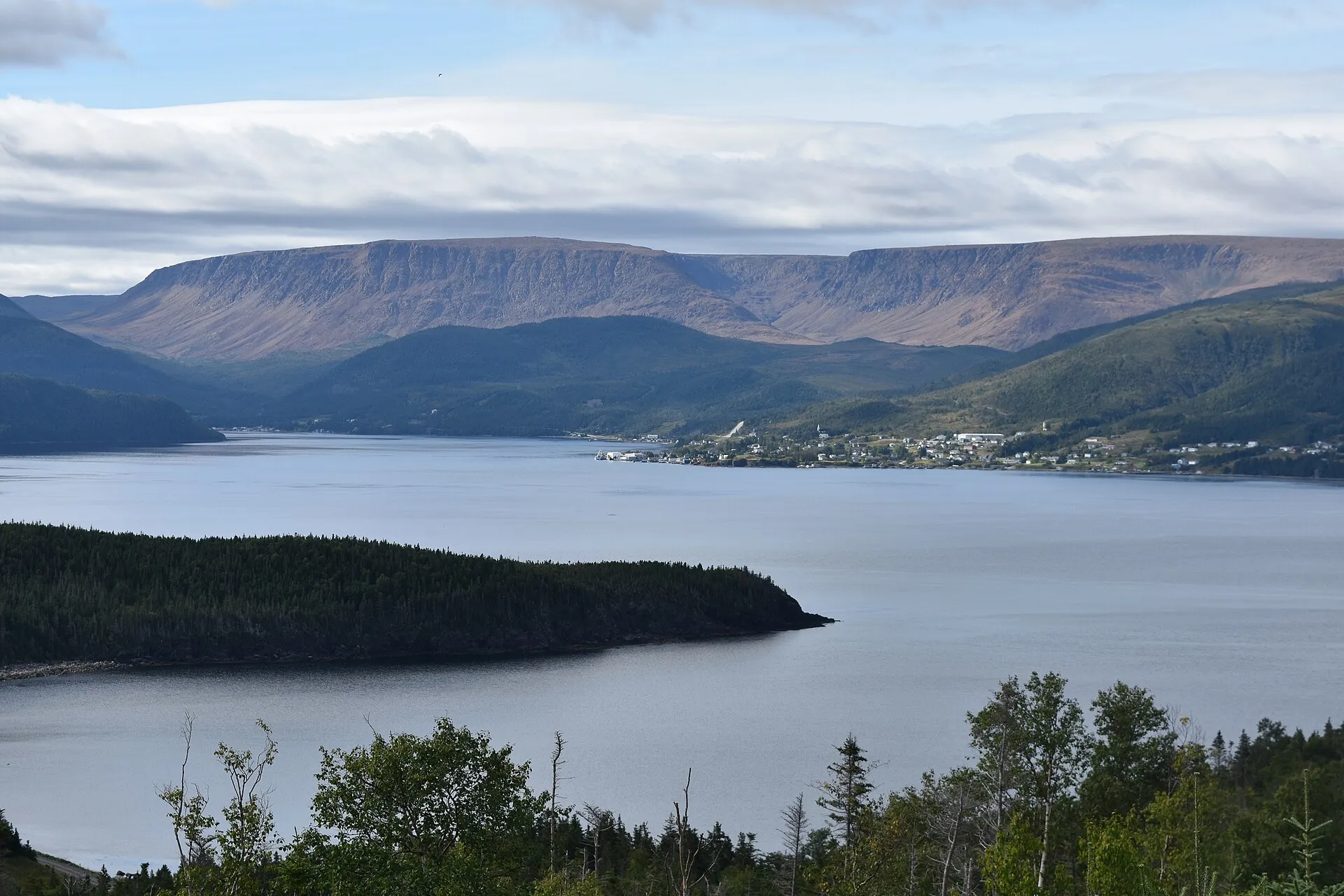
39Woody Point
To Woody Point from every airport and ferry, measured by road.
Tap where you arrive to see the drive on the map.
Photograph: Adavyd · CC BY-SA 4.0


Loops
- Baccalieu Coastal Drive239 km →
- Cape Shore234 km →
- Coast of Bays482 km →
- Comfort Cove-Newstead to Boyd's Cove43 km →
- Discovery Trail305 km →
- Granite Coast Drive47 km →
- Green Bay and the Beothuk Trail166 km →
- Heritage Run316 km →
- Kittiwake Coast: Road to the Beaches41 km →
- Lewisporte to Boyd's Cove50 km →
- Osprey Trail37 km →
- The Dorset Trail211 km →
- The Exploits Valley457 km →
- The Viking Trail476 km →
- Twillingate to Lewisporte92 km →