Worth stopping for
Long Point Lighthouse
Getting here
To Long Point Lighthouse from every airport and ferry, measured by road.
Sunrise and sunset at Long Point Lighthouse, by month
| Month (the 15th) | Sunrise | Sunset |
|---|---|---|
| January | 8:00 am | 4:35 pm |
| February | 7:20 am | 5:26 pm |
| March | 7:24 am | 7:13 pm |
| April | 6:17 am | 8:00 pm |
| May | 5:24 am | 8:45 pm |
| June | 5:00 am | 9:17 pm |
| July | 5:17 am | 9:12 pm |
| August | 5:59 am | 8:28 pm |
| September | 6:44 am | 7:24 pm |
| October | 7:29 am | 6:19 pm |
| November | 7:20 am | 4:27 pm |
| December | 7:59 am | 4:09 pm |
Worked out for the 15th of each month at this spot, in local time. The weather line at the top has today's.
On the way to…
Comfort Cove-Newstead ↔ Twillingate →
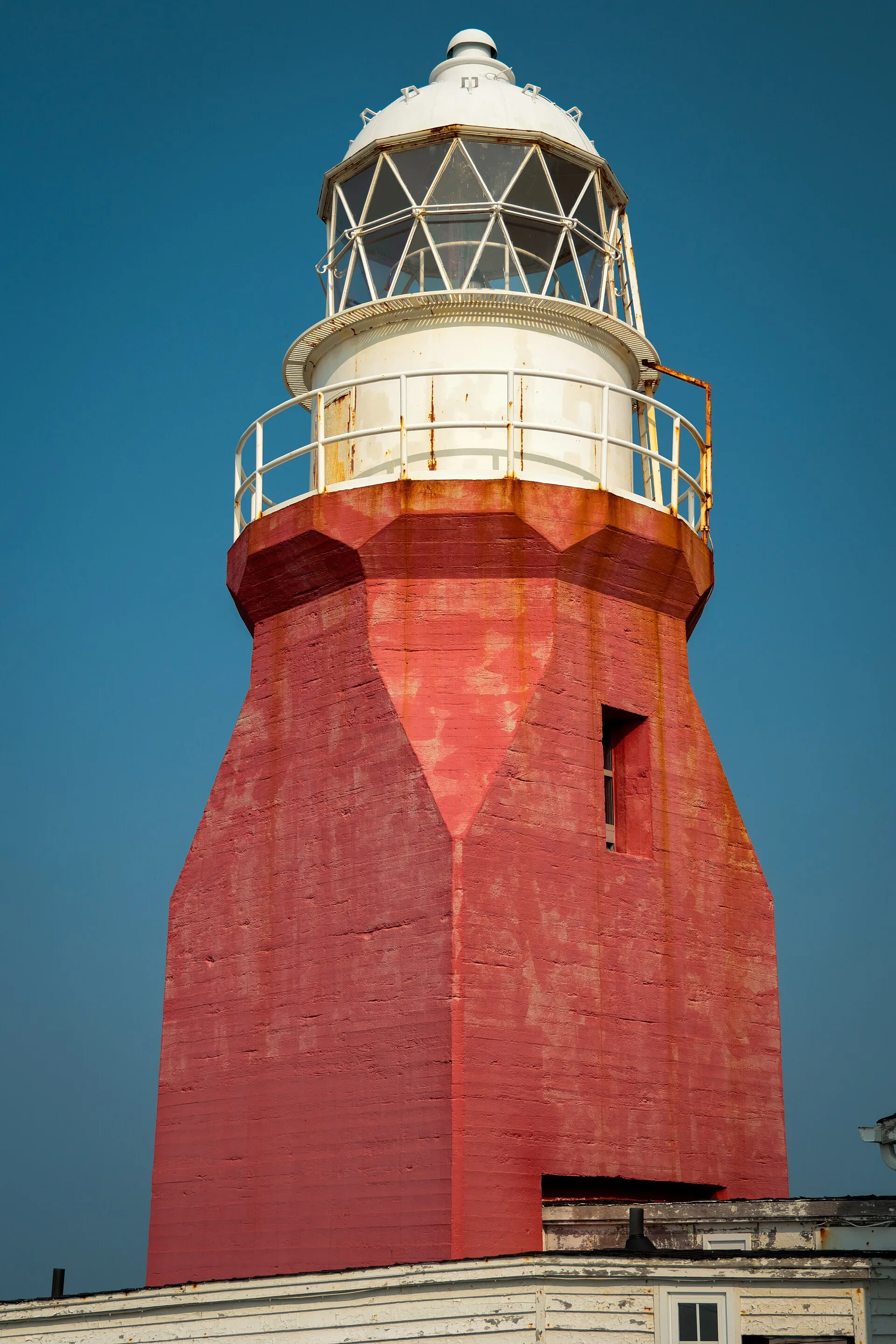
The headland most berg-watchers stand on: the lighthouse at Long Point, past Crow Head at the island's tip, with a historical exhibit alongside. The best lookout on a given day depends on where the ice is.
Stopping here adds about 14 km to that drive (85 km start to finish).
Stopping here adds about 6.7 km to that drive (114 km start to finish).
Lewisporte & Twillingate loop →
Stopping here adds about 14 km to that drive (269 km start to finish).
The lighthouse on a high cliff at Long Point, which the province's tourism site names as a place to watch icebergs and whales from land.
Stopping here adds about 14 km to that drive (281 km start to finish).
Use another map app
Apple Maps · Google Maps · Organic Maps · OsmAnd (both work offline, no tracking) · WazeWhat the map knows
Mapped as lighthouse in OpenStreetMap.
While you're stopped here: Twillingate (5 km away) · Prime Berth Fishing Museum (12.2 km away) · Moreton's Harbour Museum (14 km away)
From OpenStreetMap, 2026-09-05 (last edited 2022-12-22). Listed, not recommended. How we measure
Access: step-free or not isn't recorded. Ask before you go.
Pin and figures from OpenStreetMap node/469724587 →