Worth stopping for
L'Anse aux Meadows Visitor Centre
Getting here
To L'Anse aux Meadows Visitor Centre from every airport and ferry, measured by road.
Sunrise and sunset at L'Anse aux Meadows Visitor Centre, by month
| Month (the 15th) | Sunrise | Sunset |
|---|---|---|
| January | 8:11 am | 4:30 pm |
| February | 7:27 am | 5:25 pm |
| March | 7:27 am | 7:15 pm |
| April | 6:17 am | 8:07 pm |
| May | 5:20 am | 8:56 pm |
| June | 4:53 am | 9:30 pm |
| July | 5:11 am | 9:24 pm |
| August | 5:56 am | 8:36 pm |
| September | 6:45 am | 7:28 pm |
| October | 7:35 am | 6:20 pm |
| November | 7:30 am | 4:23 pm |
| December | 8:11 am | 4:03 pm |
Worked out for the 15th of each month at this spot, in local time. The weather line at the top has today's.
On the way to…
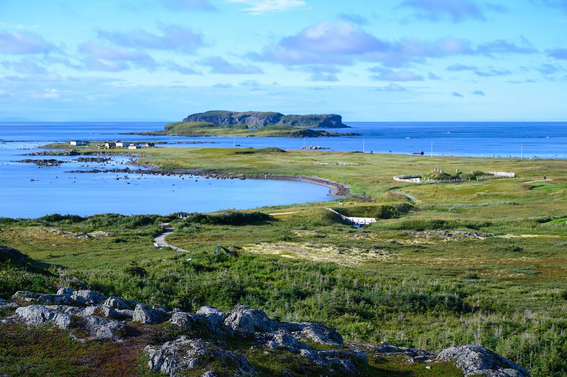
The way in to L'Anse aux Meadows National Historic Site on Route 436, the second UNESCO site on the drive. Greenlanders and Icelanders founded a settlement here 1,000 years ago, per the province's tourism site. Costumed interpreters work the site.
Stopping here adds about 2.9 km to that drive (476 km start to finish).
Use another map app
Apple Maps · Google Maps · Organic Maps · OsmAnd (both work offline, no tracking) · WazeWhat the map knows
While you're stopped here: Norstead (1.1 km away) · Pistolet Bay Provincial Park (11.6 km away) · Grenfell Interpretation Centre (25.7 km away)
From OpenStreetMap, 2026-09-05. Listed, not recommended. How we measure
Access: step-free or not isn't recorded. Ask before you go.
Pin and figures from OpenStreetMap way/488244829 →