Worth stopping for
Colony of Avalon, Ferryland
Getting here
To Colony of Avalon, Ferryland from every airport and ferry, measured by road.
Sunrise and sunset at Colony of Avalon, Ferryland, by month
| Month (the 15th) | Sunrise | Sunset |
|---|---|---|
| January | 7:42 am | 4:37 pm |
| February | 7:06 am | 5:24 pm |
| March | 7:15 am | 7:06 pm |
| April | 6:14 am | 7:48 pm |
| May | 5:26 am | 8:28 pm |
| June | 5:05 am | 8:57 pm |
| July | 5:21 am | 8:53 pm |
| August | 5:58 am | 8:14 pm |
| September | 6:38 am | 7:15 pm |
| October | 7:18 am | 6:15 pm |
| November | 7:04 am | 4:28 pm |
| December | 7:40 am | 4:12 pm |
Worked out for the 15th of each month at this spot, in local time. The weather line at the top has today's.
On the way to…
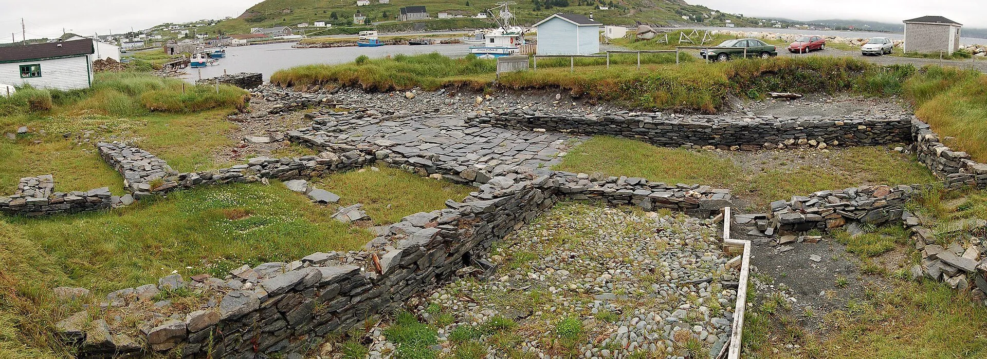
A 17th-century archaeological site at Ferryland, a National Historic Site since 1953 as the site of the house of Sir George Calvert, later Lord Baltimore, who founded the plantation here in 1621. Parks Canada's record notes the house later became the seat of Sir David Kirke's government of Newfoundland, and that excavation continues under the Colony of Avalon Foundation. Pool Road, a turn off Route 10.
Stopping here adds about 1.2 km to that drive (155 km start to finish).
Ferryland's 17th-century colony, founded in the 1620s by Lord Baltimore, whose family later founded Maryland, as the province's tourism site tells it. Archaeologists still work the site, uncovering house foundations and a cobblestone street.
Stopping here adds about 1.9 km to that drive (266 km start to finish).
Stopping here adds about 1.2 km to that drive (357 km start to finish).
Use another map app
Apple Maps · Google Maps · Organic Maps · OsmAnd (both work offline, no tracking) · WazeWhat the map knows
While you're stopped here: Brigus South harbour (10 km away) · La Manche Provincial Park (15.9 km away) · Viewpoint on Route 10, south of Witless Bay (24.8 km away)
From OpenStreetMap, 2026-09-05. Listed, not recommended. How we measure
Access: step-free or not isn't recorded. Ask before you go.
Pin and figures from OpenStreetMap node/470764427 →