Worth stopping for
Castle Hill National Historic Site
Getting here
To Castle Hill National Historic Site from every airport and ferry, measured by road.
Sunrise and sunset at Castle Hill National Historic Site, by month
| Month (the 15th) | Sunrise | Sunset |
|---|---|---|
| January | 7:48 am | 4:41 pm |
| February | 7:11 am | 5:28 pm |
| March | 7:20 am | 7:10 pm |
| April | 6:18 am | 7:53 pm |
| May | 5:29 am | 8:33 pm |
| June | 5:08 am | 9:03 pm |
| July | 5:24 am | 8:58 pm |
| August | 6:02 am | 8:19 pm |
| September | 6:42 am | 7:19 pm |
| October | 7:23 am | 6:19 pm |
| November | 7:09 am | 4:31 pm |
| December | 7:45 am | 4:16 pm |
Worked out for the 15th of each month at this spot, in local time. The weather line at the top has today's.
On the way to…
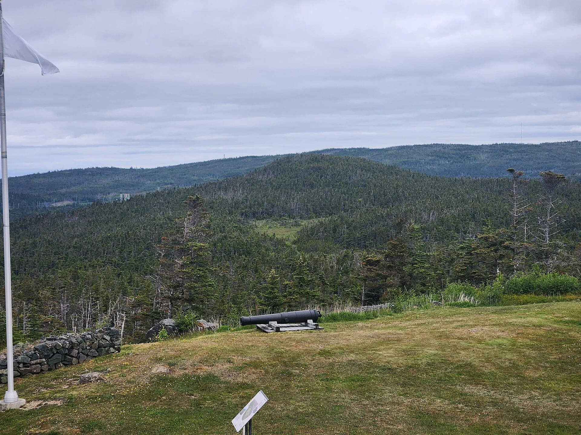
A Parks Canada site on the hill above Placentia, early in the drive. Parks Canada's own page describes the remnants of a stone fort, and invites visitors to imagine "cannons and muskets blazing as British and French forces battled on the shores of Newfoundland, vying for control of a lucrative fishery" in the 18th century, a chapter it says "determined the fate of a continent". Check Parks Canada for what is open and when.
Stopping here adds about 1.8 km to that drive (71 km start to finish).
Parks Canada sets this site in the 18th century, when British and French forces battled on the shores of Newfoundland for control of a lucrative fishery, and describes what stands there now as the remnants of a stone fort. The visitor centre is seasonal; check Parks Canada's page for dates and passes before you plan a day around it.
Stopping here adds about 3 km to that drive (132 km start to finish).
The remains of a French fort above Placentia, which as Plaisance was the French capital of Newfoundland in the 17th and 18th centuries, per the province's tourism site. The view takes in the town, the water and the wooded hills.
Stopping here adds about 3.2 km to that drive (234 km start to finish).
Use another map app
Apple Maps · Google Maps · Organic Maps · OsmAnd (both work offline, no tracking) · WazeWhat the map knows
While you're stopped here: O'Reilly House Museum (1.1 km away) · Argentia ferry terminal (4.5 km away) · Gooseberry Cove Provincial Park (19 km away)
From OpenStreetMap, 2026-09-05. Listed, not recommended. How we measure
Access: step-free or not isn't recorded. Ask before you go.
Pin and figures from OpenStreetMap node/5284713951 →