Worth stopping for
Fallsview Municipal Park, Bishop's Falls
Getting here
To Fallsview Municipal Park, Bishop's Falls from every airport and ferry, measured by road.
Sunrise and sunset at Fallsview Municipal Park, Bishop's Falls, by month
| Month (the 15th) | Sunrise | Sunset |
|---|---|---|
| January | 8:00 am | 4:40 pm |
| February | 7:21 am | 5:30 pm |
| March | 7:26 am | 7:16 pm |
| April | 6:21 am | 8:02 pm |
| May | 5:29 am | 8:46 pm |
| June | 5:06 am | 9:17 pm |
| July | 5:23 am | 9:12 pm |
| August | 6:03 am | 8:29 pm |
| September | 6:47 am | 7:26 pm |
| October | 7:31 am | 6:23 pm |
| November | 7:21 am | 4:32 pm |
| December | 7:59 am | 4:14 pm |
Worked out for the 15th of each month at this spot, in local time. The weather line at the top has today's.
On the way to…
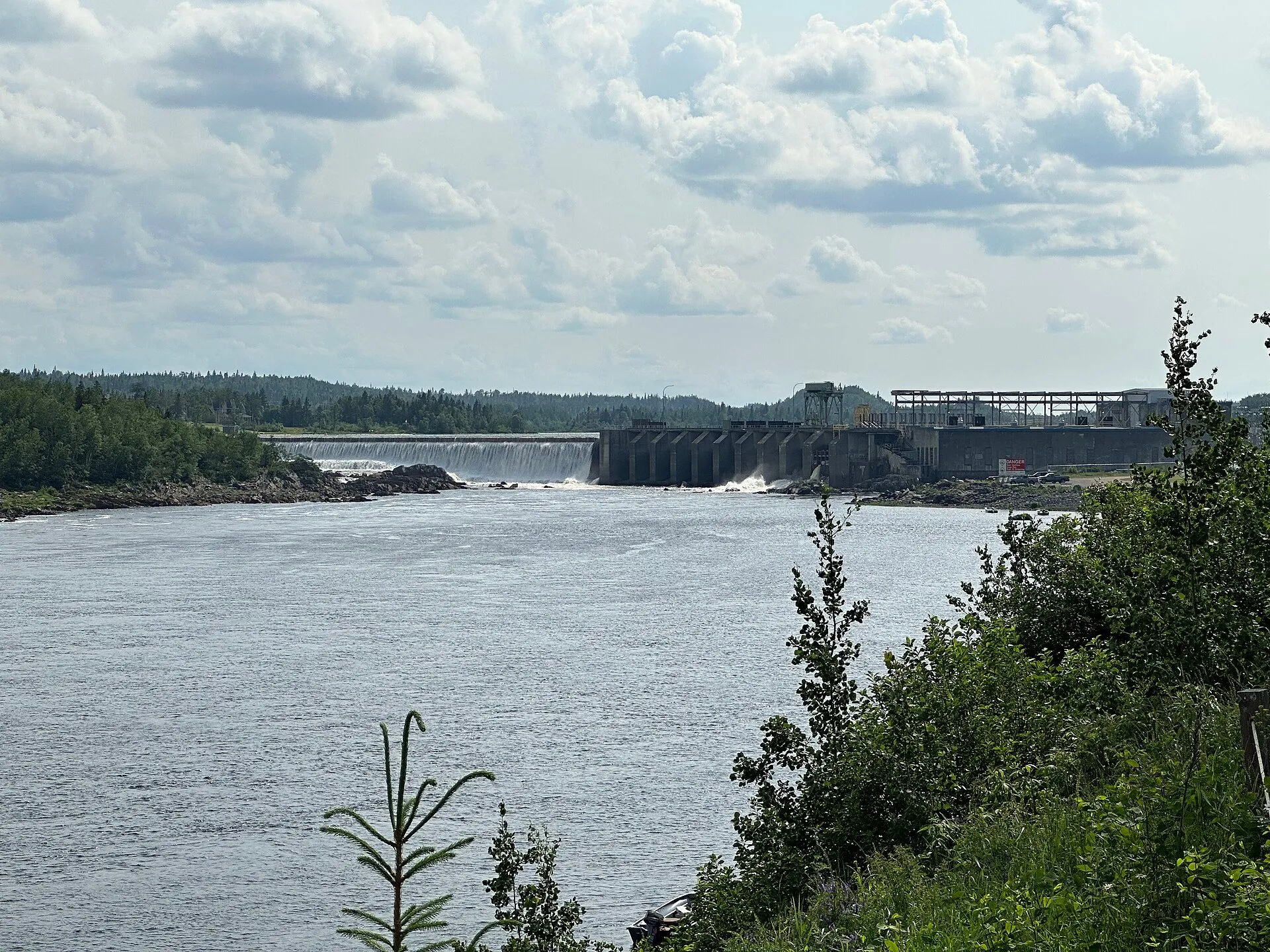
A riverbank park with a wide view of the Exploits, per the province's tourism site. Bishop's Falls was a railway hub, and its old trestle, almost 300 metres long, now carries hikers and ATVs across the river.
Stopping here adds about 0 km to that drive (457 km start to finish).
Use another map app
Apple Maps · Google Maps · Organic Maps · OsmAnd (both work offline, no tracking) · WazeWhat the map knows
While you're stopped here: Pat O'Reilly Memorial Arena (1.2 km away) · Bishop’s Falls Heritage Centre (2.5 km away) · The nordic trails east of town (13.1 km away)
From OpenStreetMap, 2026-09-05. Listed, not recommended. How we measure
Access: step-free or not isn't recorded. Ask before you go.
Pin and figures from OpenStreetMap way/755508727 →